Stanage Edge From Redmires
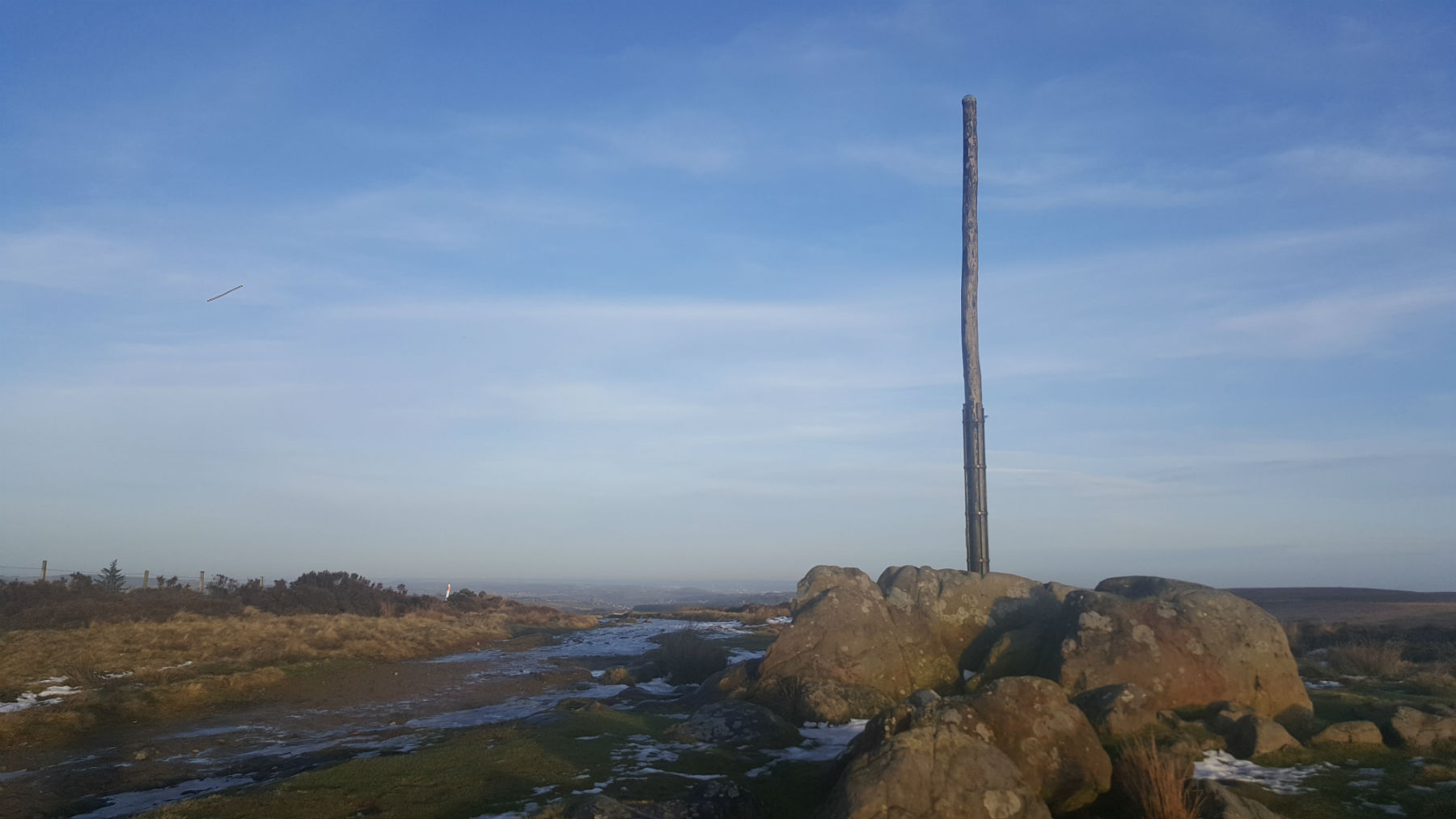
Stanage Pole and Sheffield
©gritstoneedge.co.uk
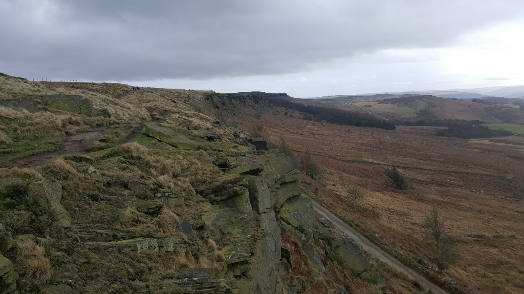
South along Stanage with Roman Road.
©gritstoneedge.co.uk
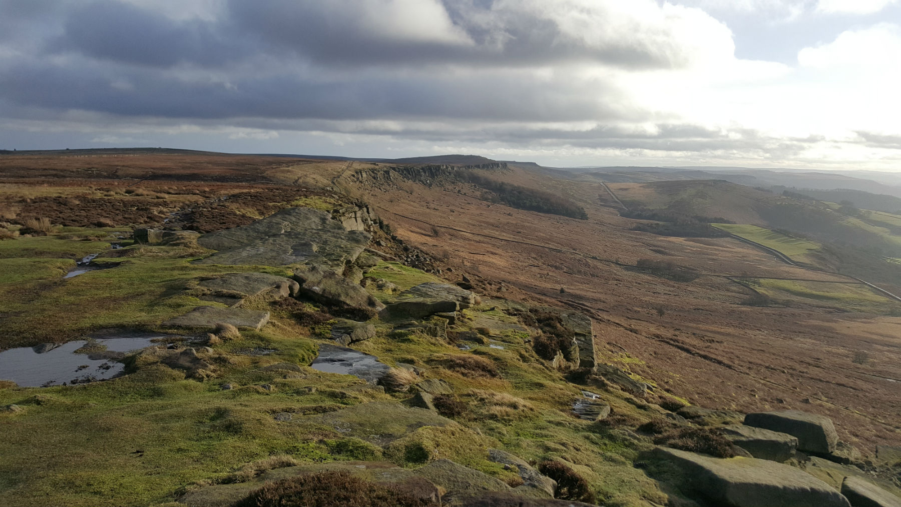
StanageView South
©gritstoneedge.co.uk
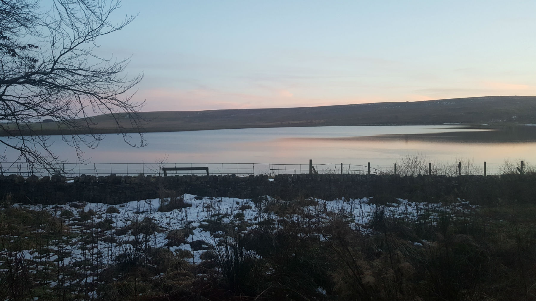
Redmires Reservoir
©gritstoneedge.co.uk
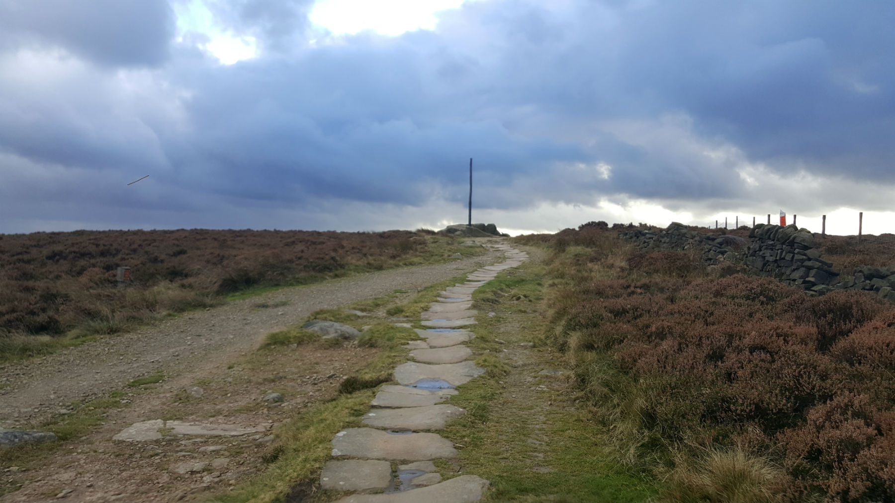
Road back to Redmires
©gritstoneedge.co.uk
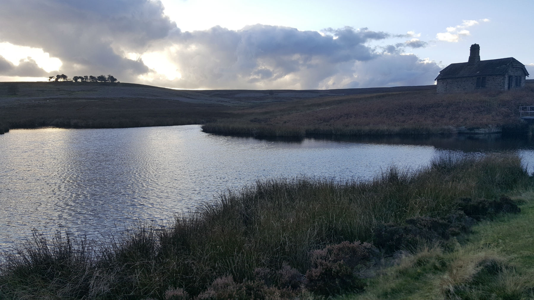
Small reservoir by Rivelin Brook
©gritstoneedge.co.uk
| Hill Summit : | High Neb[SK228853, 458m.] |
| Start : | Redmires Car Park The car park overlooking Redmires reservoir.[SK257851 351m ] |
| Summary : | Redmires Reservoir Car Park - Oaking Clough - Reservoir - Stanage Edge - High Neb - Roman Road - Redmires Reservoir - Car Park |
| distance : | 10.0km. |
| ascent : | 150m. |
| time : | 3hr. 10min. |
The proximity to Sheffield is a great draw for this route. Rather than use the car it is possible to get the 51 bus to the terminus; but it does make the route longer. Hallam Moor does not have any paths marked on the maps but there is the odd sheep track. The moor is very boggy so this route only makes sense in dry condition (or frozen!). Once over Hallam Moor there is a surprise view down the hope Valley and along Stanage Edge.
Sheffield
Current Weather
Last Updated today at : 08:11:18
| Overall : | light rain |
| Temperature : | 17degC. |
| Wind Speed : | 3km/hr. |
| Wind Direction : | NE |
| Clouds : | overcast clouds |
| Precipitation : | rain 0.11mm. |
| Sunrise : | 05:06:25 |
| Sunset : | 19:08:56 |
| : | Times are GMT add 1 hour for BST |
Data from openweathermap.org
From the car park, retrace your steps along the minor road to the Dam. On the north side is a public footpath. The first part of this is an all abilities trail and hence a great path. Follow this path alongside the conduit, continuing around the corner to Rivelin Brook and finally a small Reservoir. It is easy to cross the dam and climb to the ruined building alongside the reservoir. The route now goes over Hallam moor to reach Crow Chin on Stanage Edge. There is no path marked on the maps. Even in good weather it is best to follow a bearing along the route of the boundary, and follow the odd path in this direction. The moor has a lot of bog making this route unsuitable in wet weather. Also this moor is managed for heather, and some of the older heather can be very high. Towards the edge the vegetation becomes shorter making for more pleasant walking. Climb up to Stanage Edge at Crow Chin. Here is the surprise View, along the Hope Valley. From Crow Chin walk south the short distance to reach High Neb. (5.5kms. 40m. 1hrs. 40min.)
The path down Stanage is muddy, in wet weather, but worth the effort. Walking south the view of the Stanage sweep is worth it. The roman road comes in from the right and the path meets it after a short thin section. Follow this Roman Road east to Stanage Pole. This version of the pole was erected in 2016 after the previous pole became rotten. There is an extensive view of Sheffield, over to most of South Yorkshire and beyond. Follow the road back down to Redmires Reservoir and then around the reservoir to the car park. (4.5kms. 110m. 1hrs. 40min.)
8th Feb 2023 A nice sunny with a bit of wind which was a change to recently with many high winds. An afternoon walk so missed out walking over the moor to Stanage - it has been wet and the route would be very wet. So up to Stanage, then down to the southern trig and back. A great afternoon walk after a morning of work.
21st July 2018 2018 has been one of the driest summers on record and a good time to walk this route. The route over Hallam Moor was perfectly dry but I could see that on wetter days the going would be tough. There is a lot of bog to cross. Potentially there is a drier route taking the higher ground to the north. Despite the warm weather there was cloud at 500m shrouding the Peak District. The route makes a perfect round from Redmires but only in perfect conditions.
Use this link to view all the external gritstoneedge.co.uk resources.
 gritstoneedge linktr.ee
w : https://www.gritstoneedge.co.uk
e :
 gritstoneedge Blog
 gritstoneedge instagram
 gritstoneedge YouTube
 gritstoneedge Podcast
Disclaimer :This site has links to many adventures in the outdoors, walking or cycling in hills and moors, within the UK. These can be dangerous activities. Conditions can change rapidly in the outdoors. The information and links provided on this site is given in good faith. gritstoneedge.co.uk cannot be held responsible for any loss or injury caused by encouraging you into the outdoors of by the accuracy of the information provided on this site.
© gritstoneedge.co.uk all rights reserved 2015-2026