| Hill Summit : | Margery Hill.[SK189957, 546m.] |
| Hill Summit : | Margery Hill.[SK177970, 541m.] |
| Start : | Langsett Barn The large car park at the centre.[SE211004 270m ] |
| Summary : | Langsett Barn - Crookland Wood - Cut Gate - Howden Edge - Margery Hill - Outer Edge - Cat Cloughs Head - Near Cat Clough - Hordron - Langsett Barn |
| distance : | 15.0km. |
| ascent : | 370m. |
| time : | 5hr. 10min. |
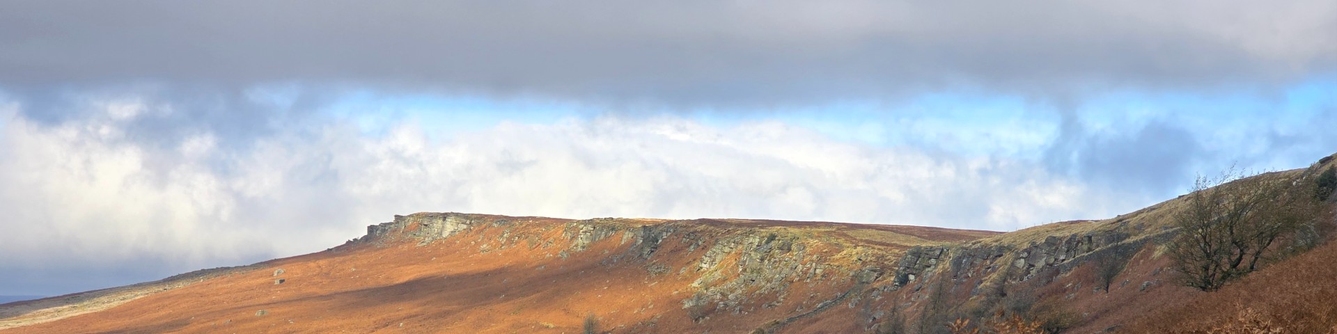
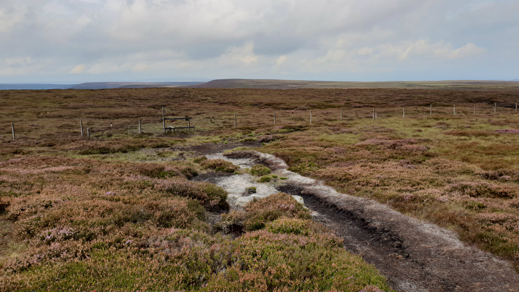
Over the moors to Margery Hill.
©gritstoneedge.co.uk
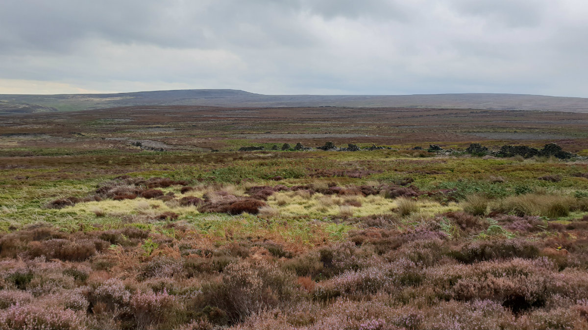
View over South Yorkshire.
©gritstoneedge.co.uk
Margery Hill Summit.
©gritstoneedge.co.uk
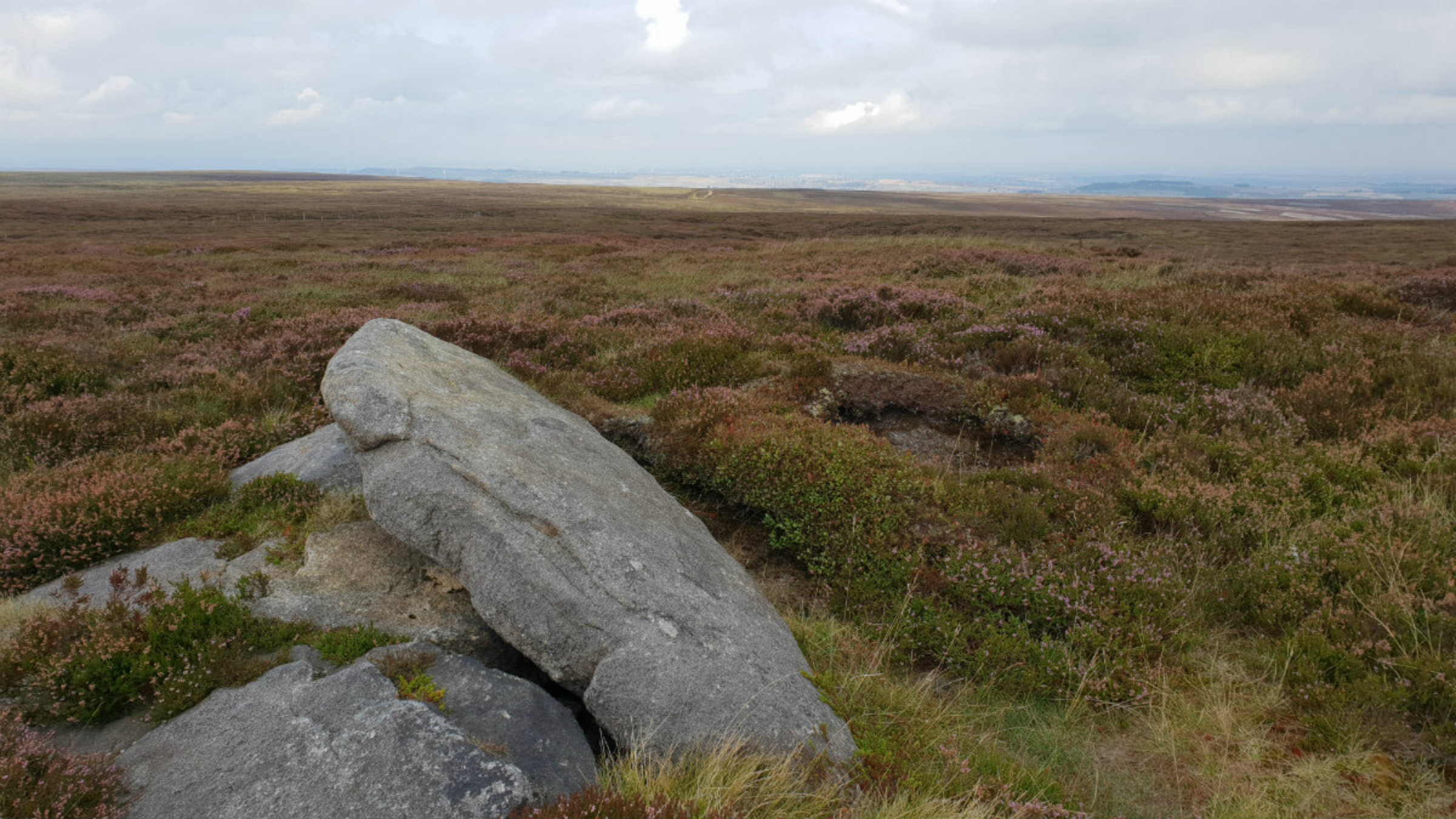
North from Margery Hill.
©gritstoneedge.co.uk
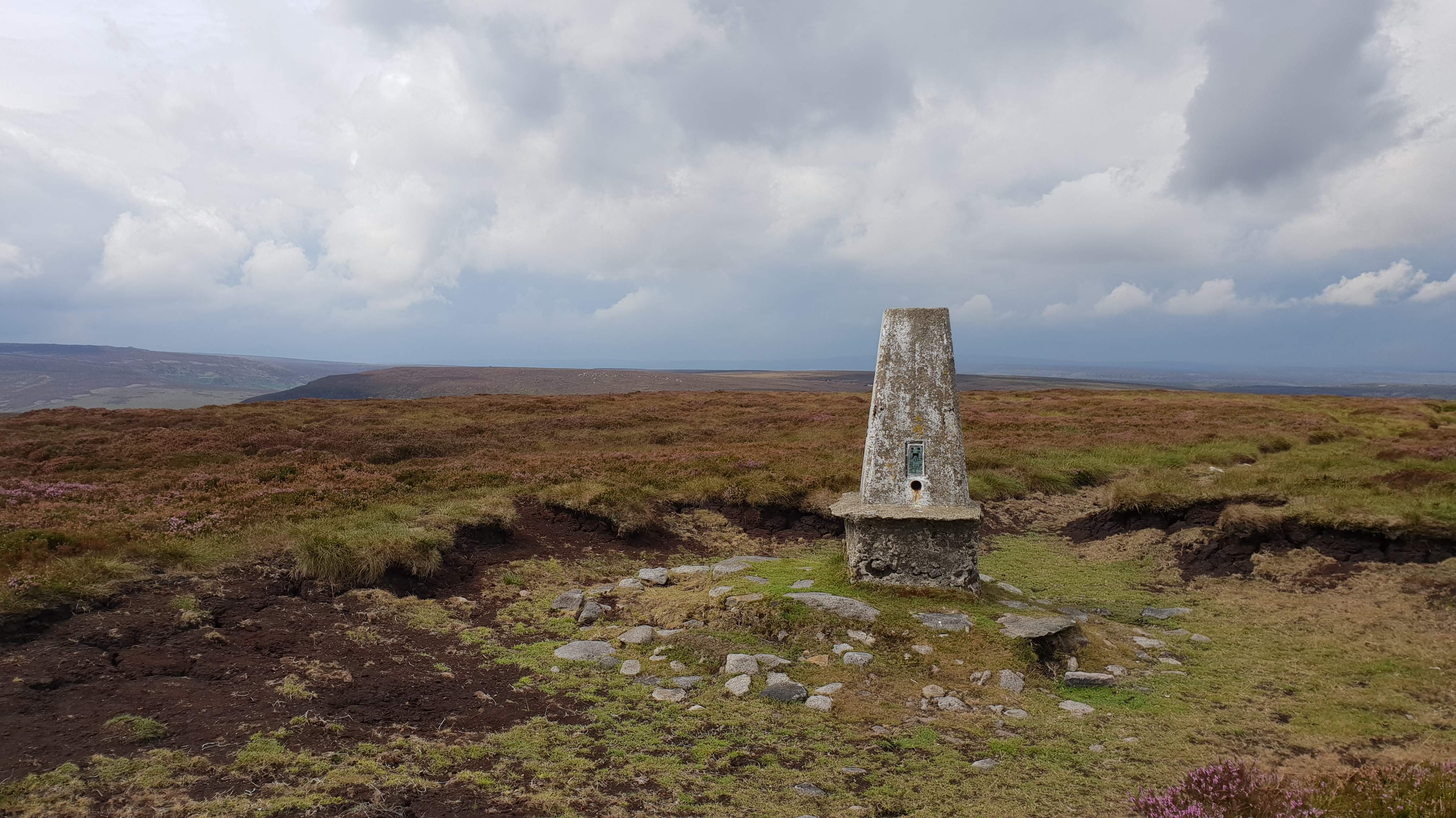
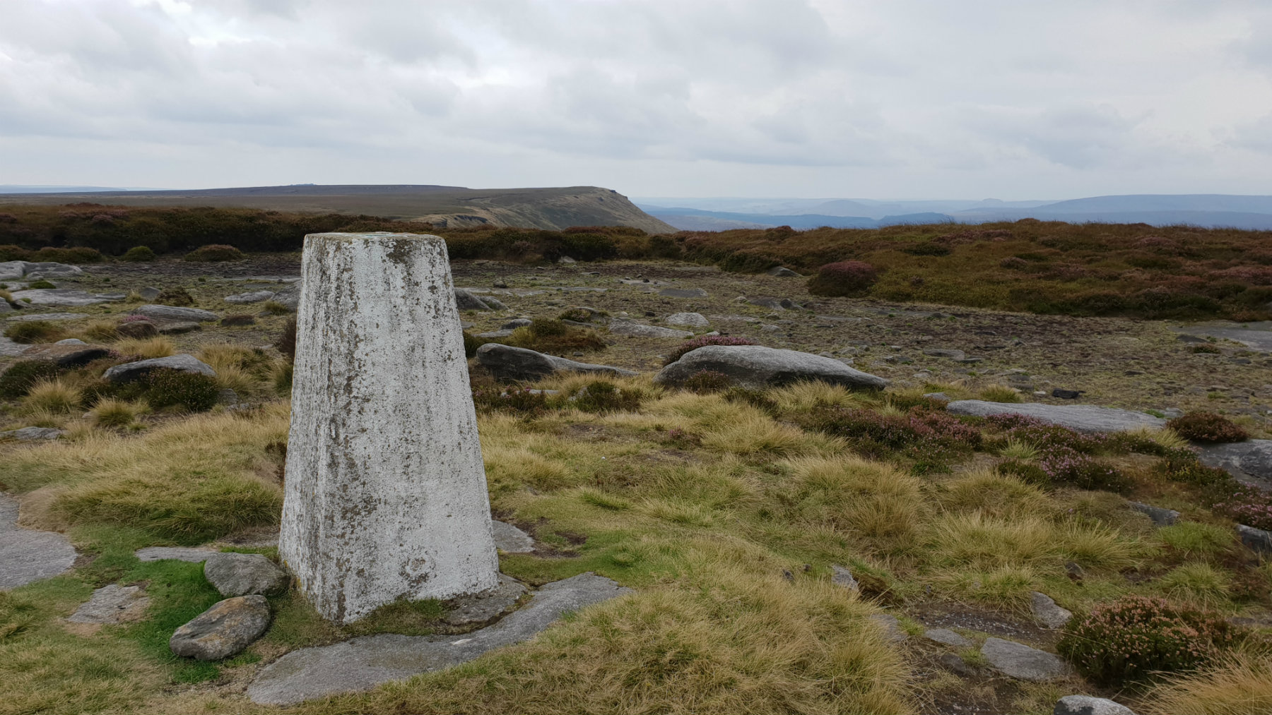
Outer edge Trig Point.
©gritstoneedge.co.uk
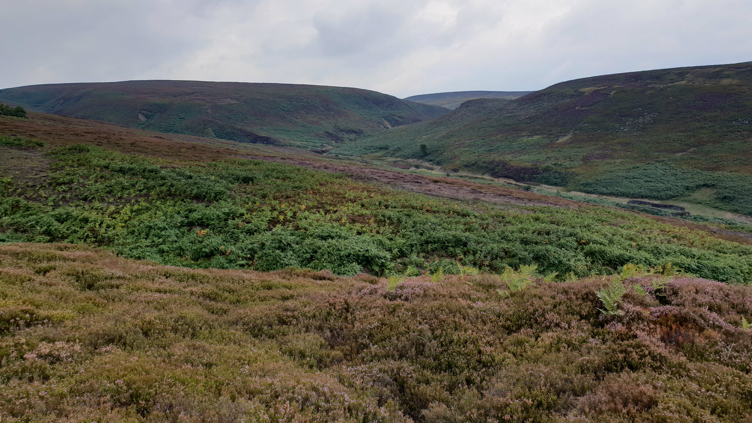
View up Laund Clough.
©gritstoneedge.co.uk
Sheffield
Current Weather
Last Updated today at : 03:57:55
| Overall : | few clouds |
| Temperature : | 2degC. |
| Wind Speed : | 29km/hr. |
| Wind Direction : | WNW |
| Clouds : | few clouds |
| Precipitation : | none |
| Sunrise : | 07:57:01 |
| Sunset : | 15:52:29 |
| : | Times are GMT add 1 hour for BST |
Data from openweathermap.org
There is a sense of remoteness in this area of the Peak District. Away from the paths the moors can be challenging with the areas of heather, bracken and in particular peat. But the challenge is worth it with a great day out in the moors. The Woodhead pass is to the north and it seems perculiar to see the lorries pass over the distant moor on their way from Barnsley to Manchester. Cut gate is an old track climbing high over hills originaly used for travelling from South Yorkshire to Derbyshire. This route starts off up Cut Gate climbing to the top of the moors.