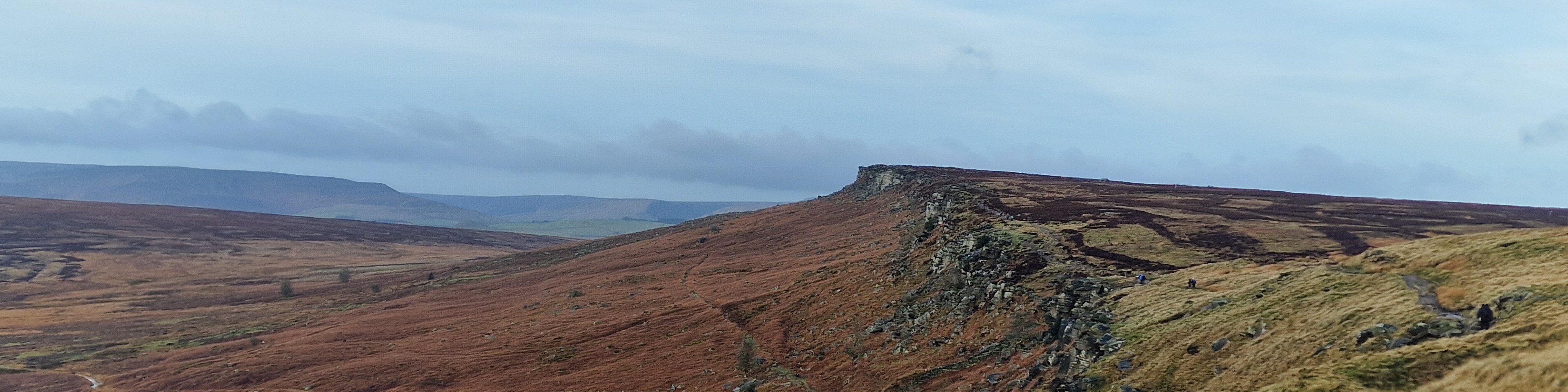
| Start : | Hooks Car Park - Roadside Parking. Roadside parking is at the junction of the two minor roads. There is ample parking but it can get busy with climbers. Payment is now required. [SK244829 360m ] |
| Summary : | Hooks Car Parking - White Path Moss trig point - Cowper Stone - White Path Moss trig point - Stanage Pole - Long Causeway - High Neb - Stanage End - Long Causeway - Hooks Car Parking |
| distance : | 14.0km. |
| ascent : | 230m. |
| time : | 4hr. 30min. |
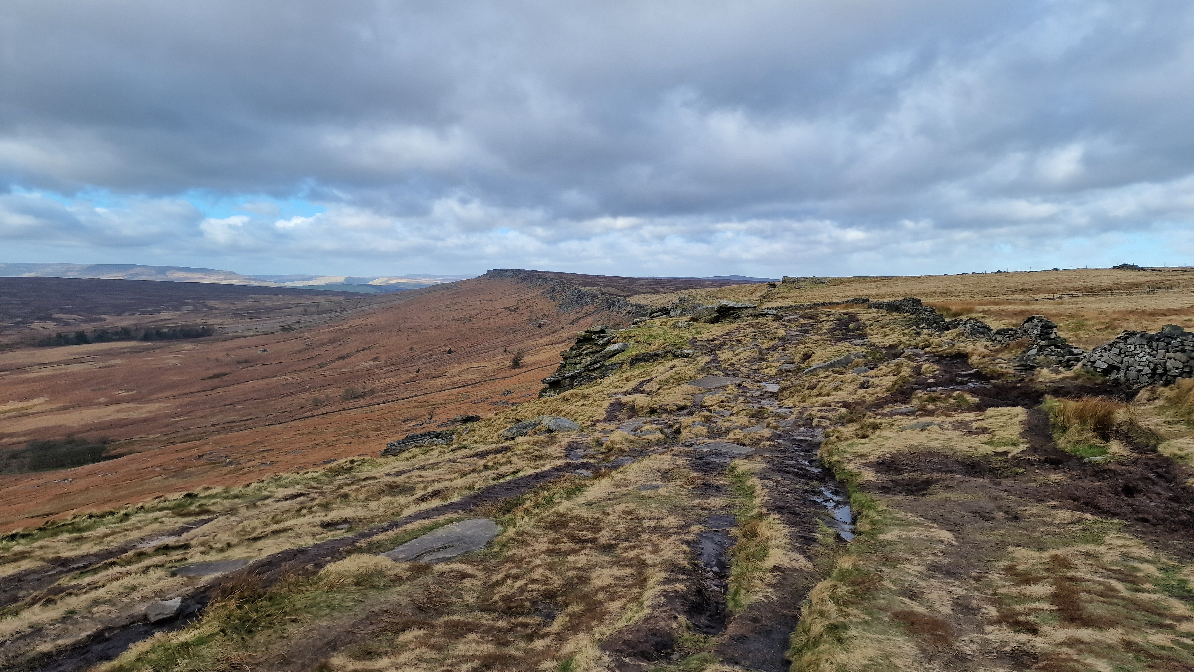
View of Stanage Edge from White Path Moss trig.
©gritstoneedge.co.uk
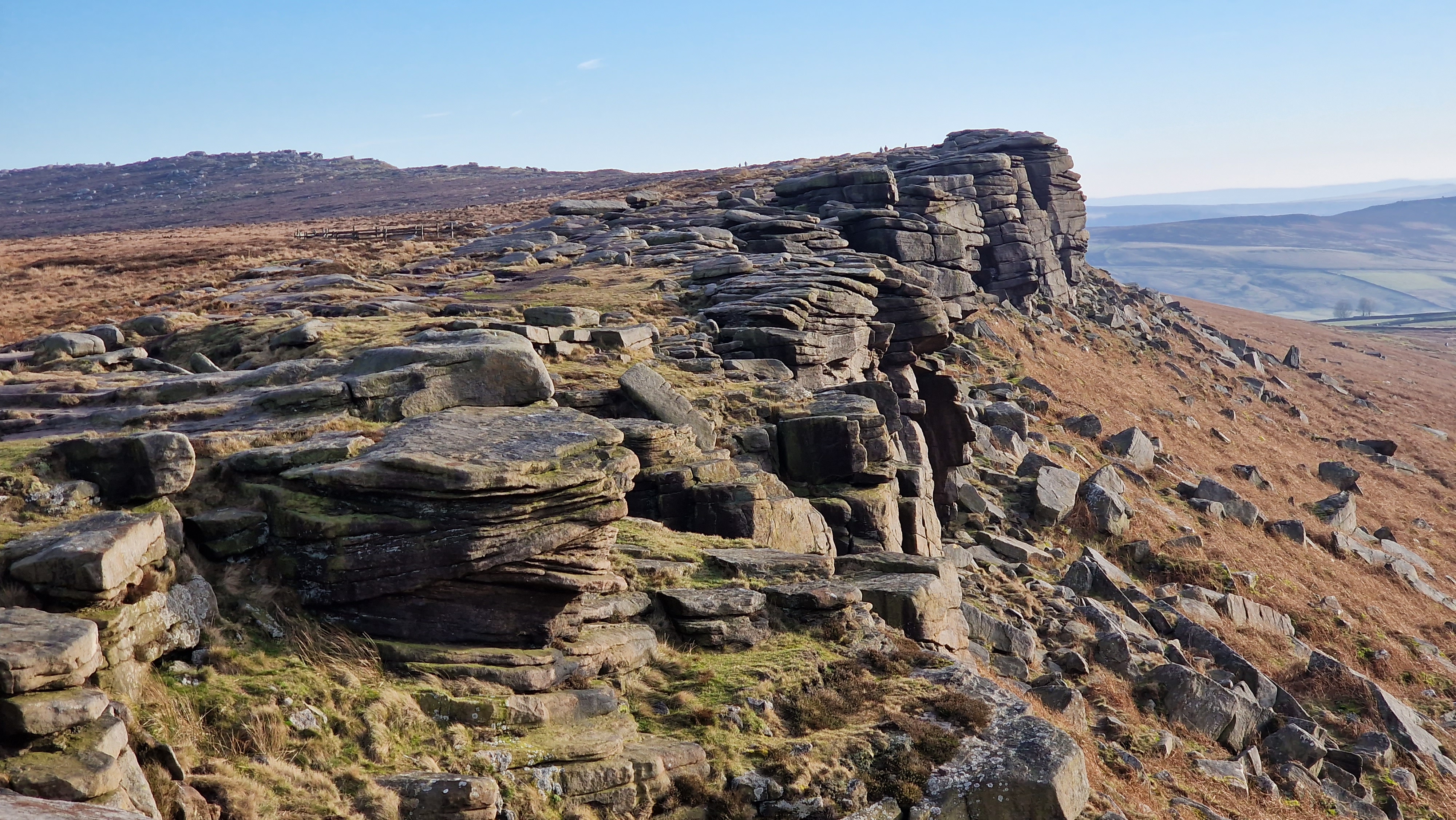
Looking south along Stanage Edge.
©gritstoneedge.co.uk
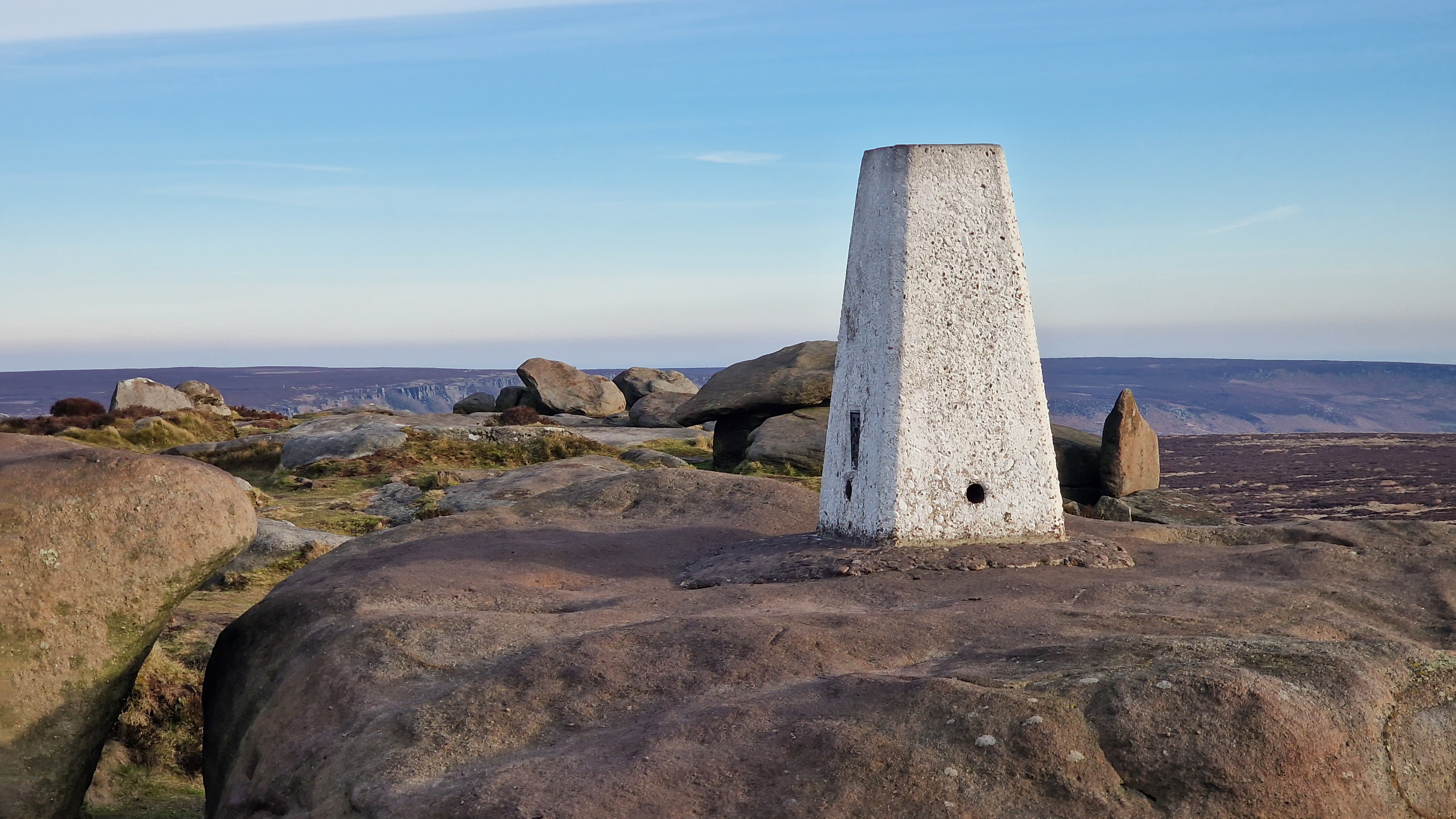
Stanage Edge White Path Moss trig set amongst rocks at 457m.
©gritstoneedge.co.uk
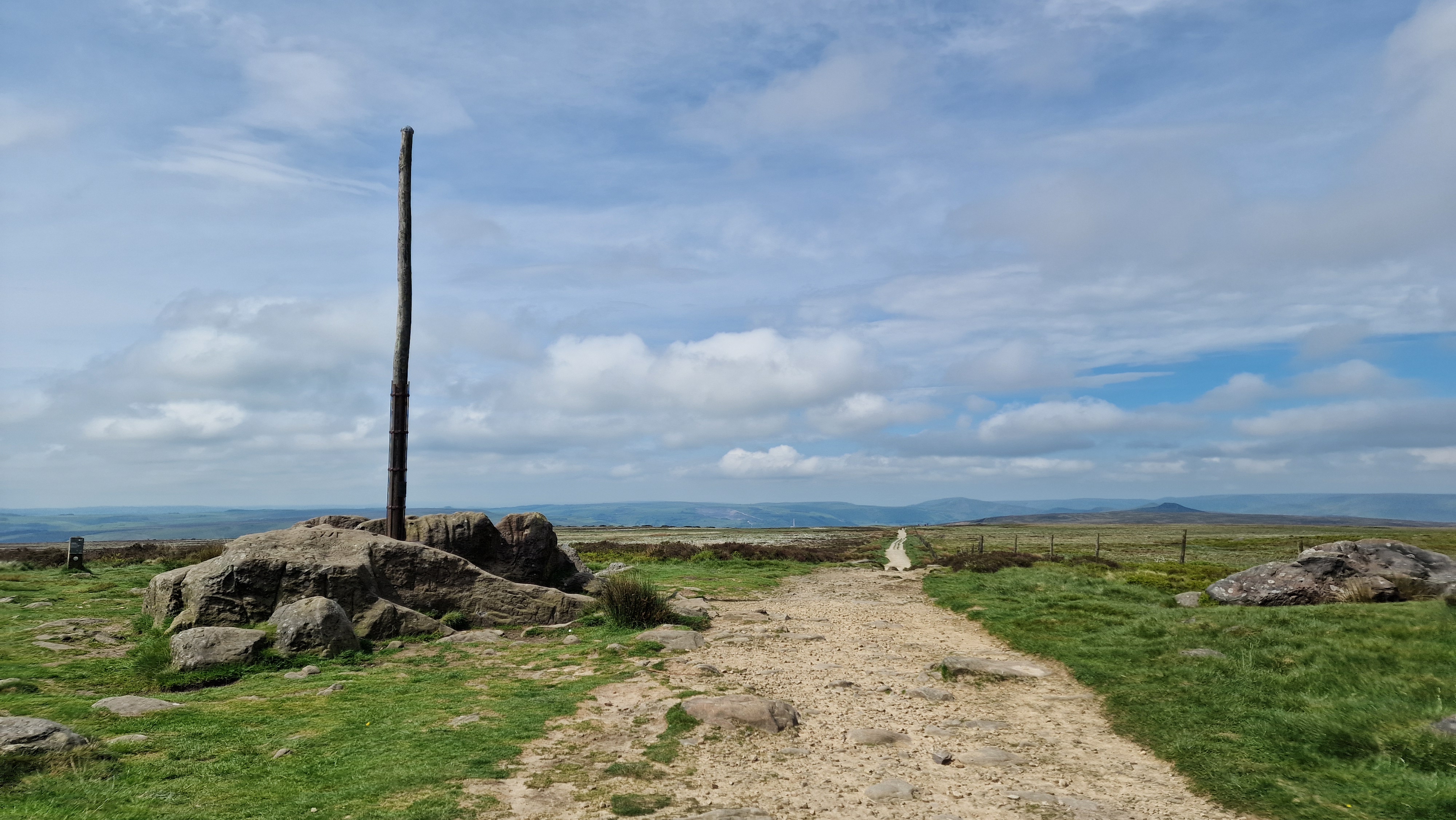
Stanage Pole which overlooks Sheffield.
©gritstoneedge.co.uk
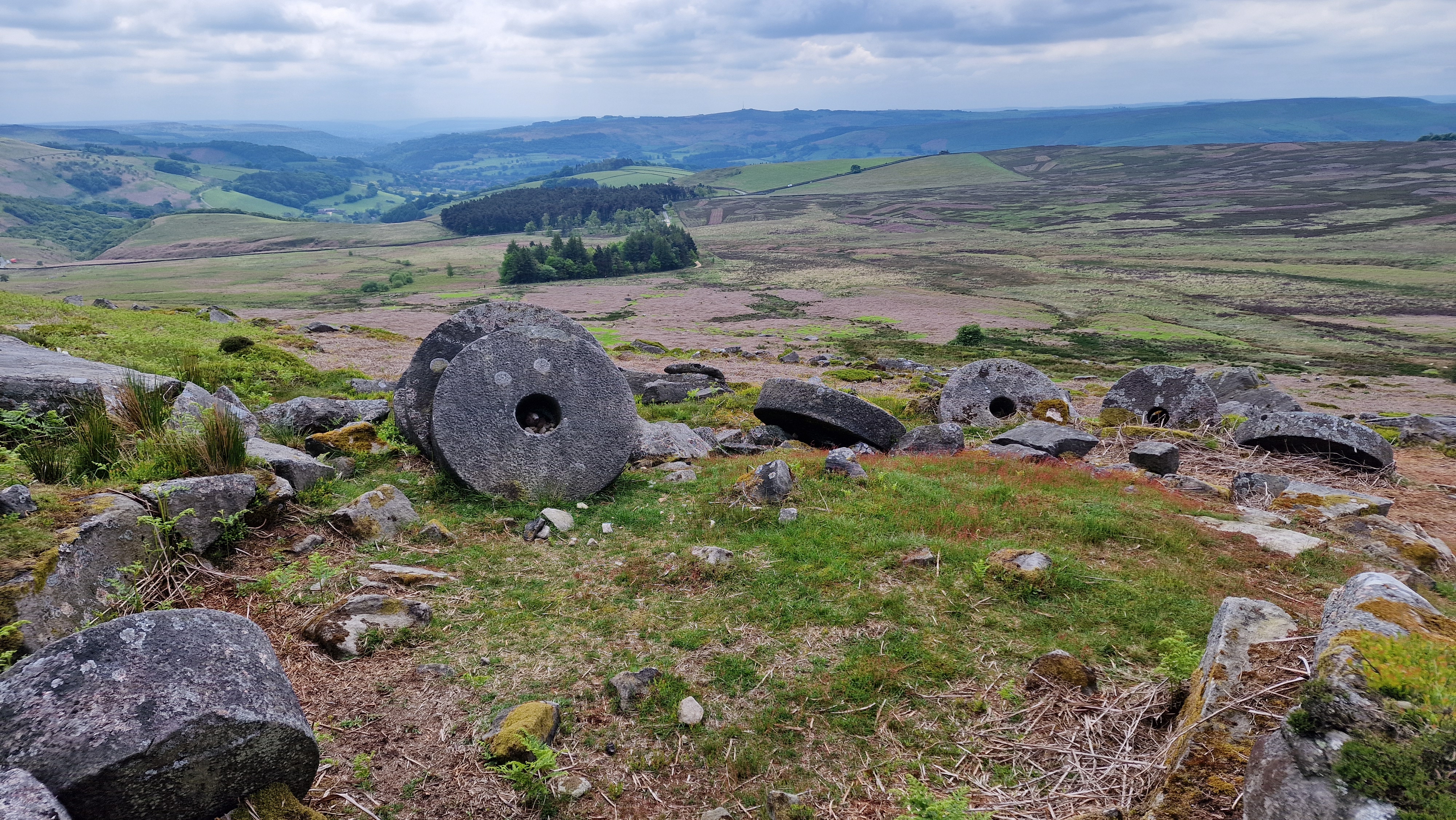
Millstones are a feature of this area of the Peak.
©gritstoneedge.co.uk
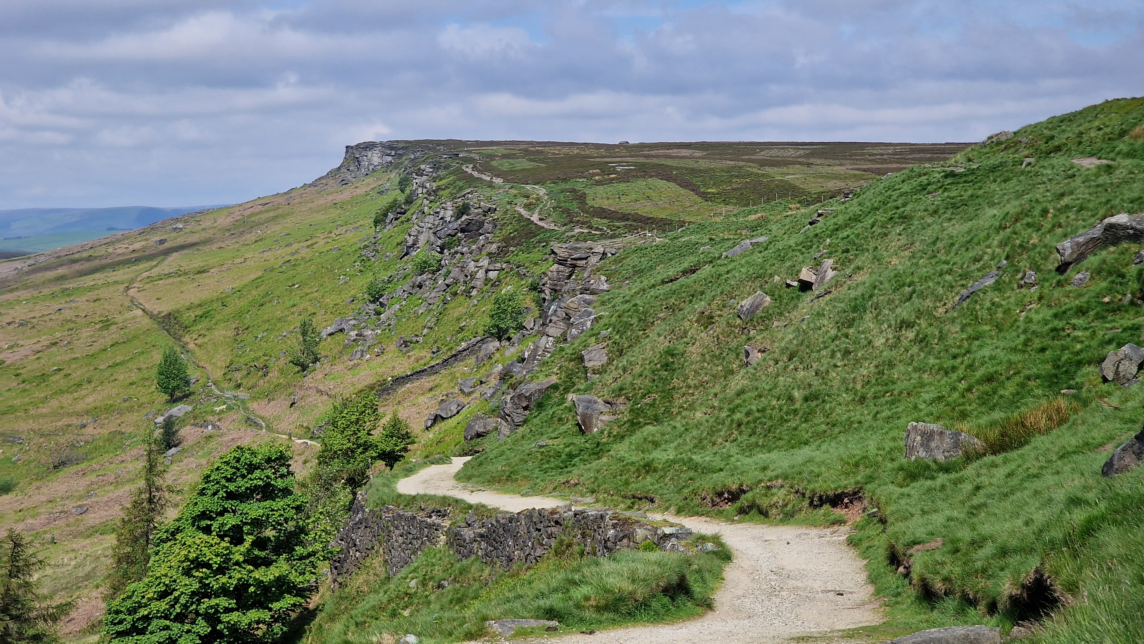
Looking north towards along the sweeping edge.
©gritstoneedge.co.uk
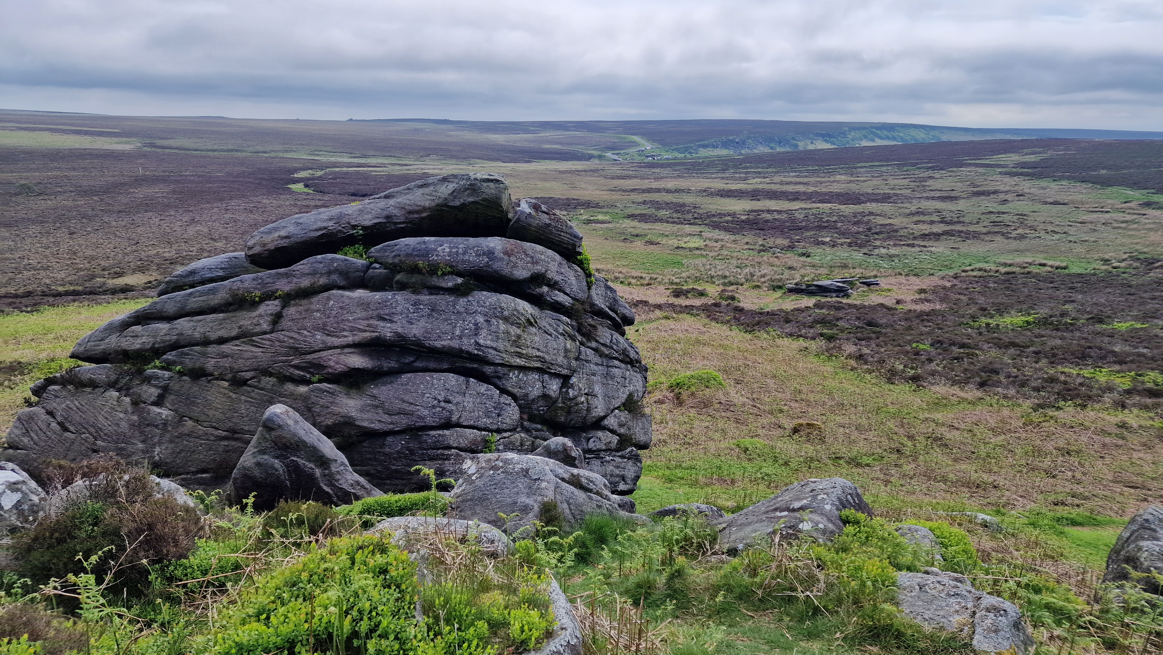
Cowper Stone - southern Stanage.
©gritstoneedge.co.uk
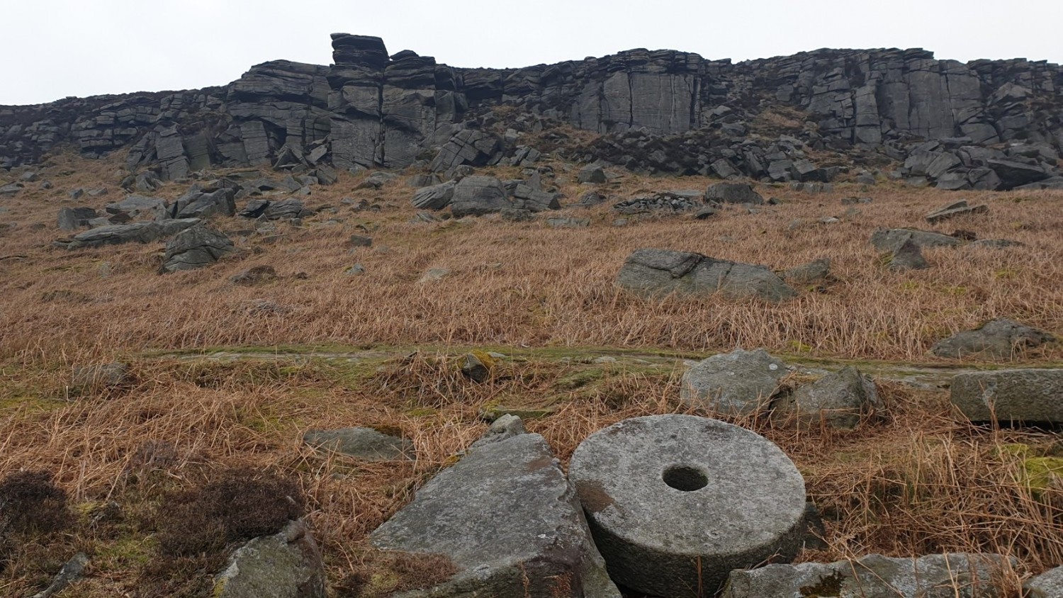
The view of Crow Chin from the path.
©gritstoneedge.co.uk
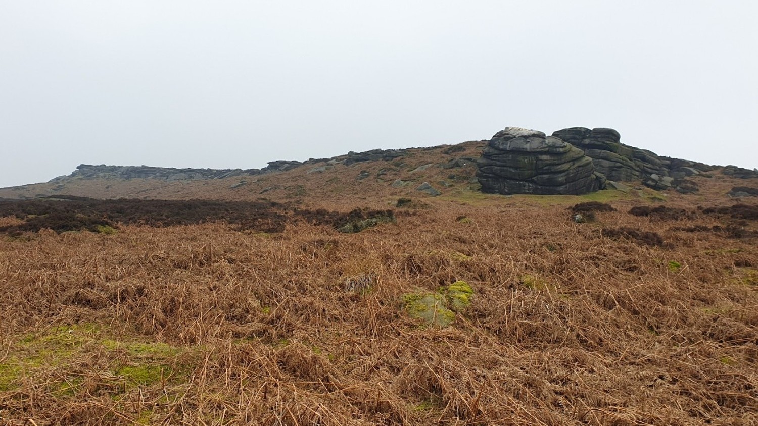
The far south end of Stanage from Burbage bridge.
©gritstoneedge.co.uk
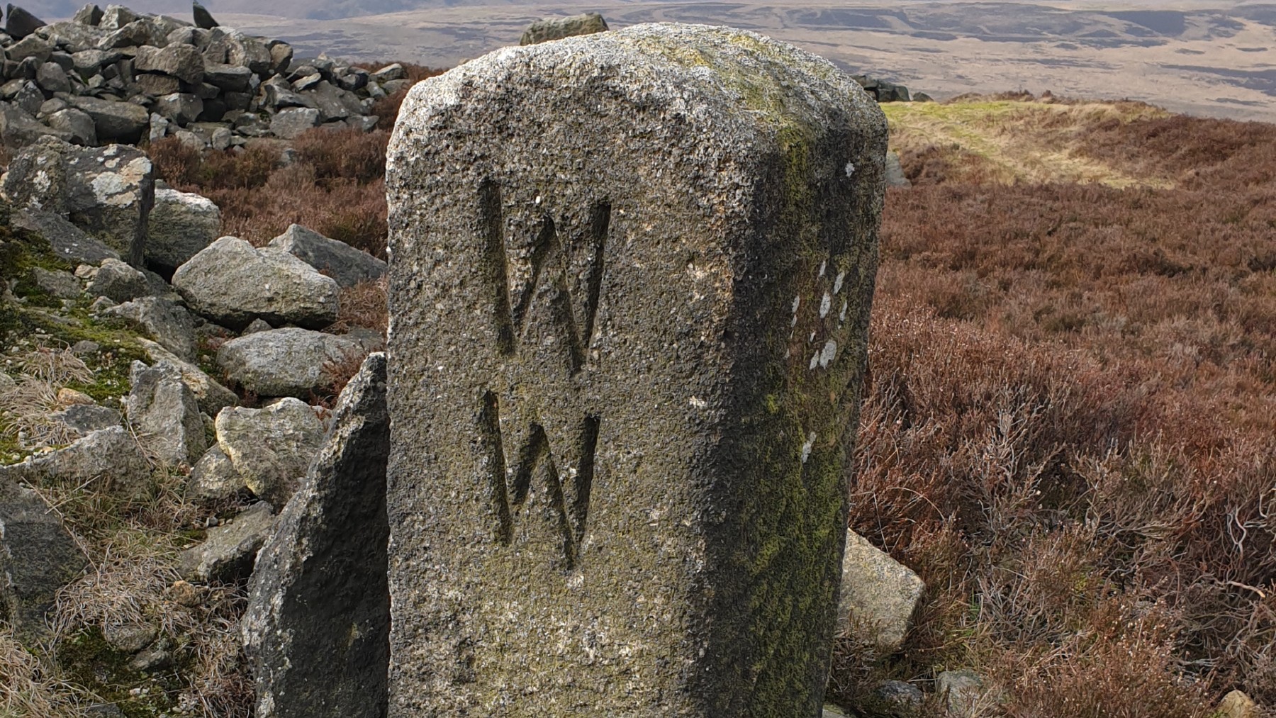
The WW marker stone at Stanage End.
©gritstoneedge.co.uk
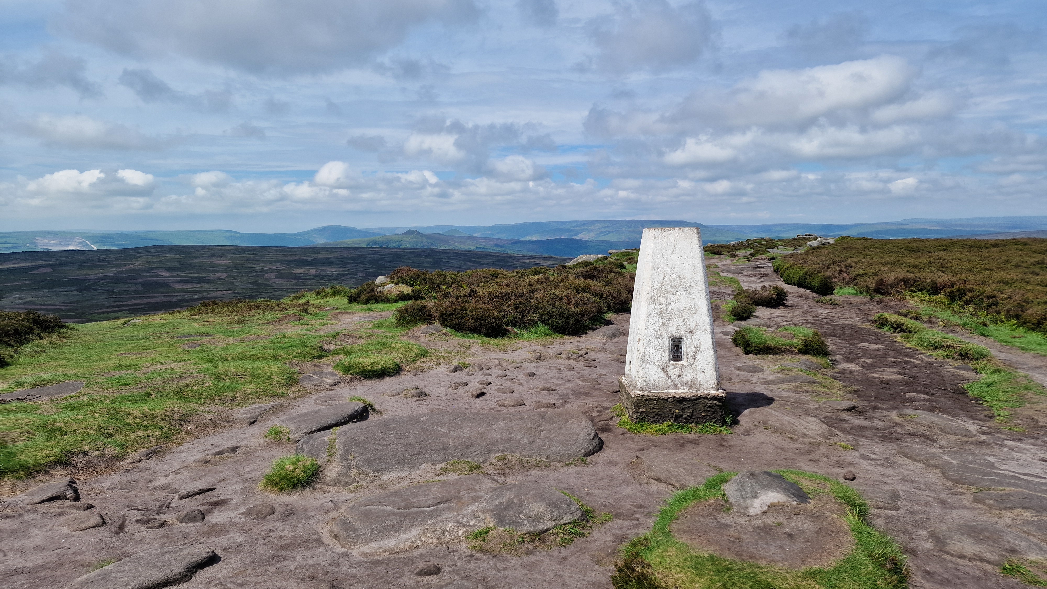
Trig point at High Neb at 458m.
©gritstoneedge.co.uk
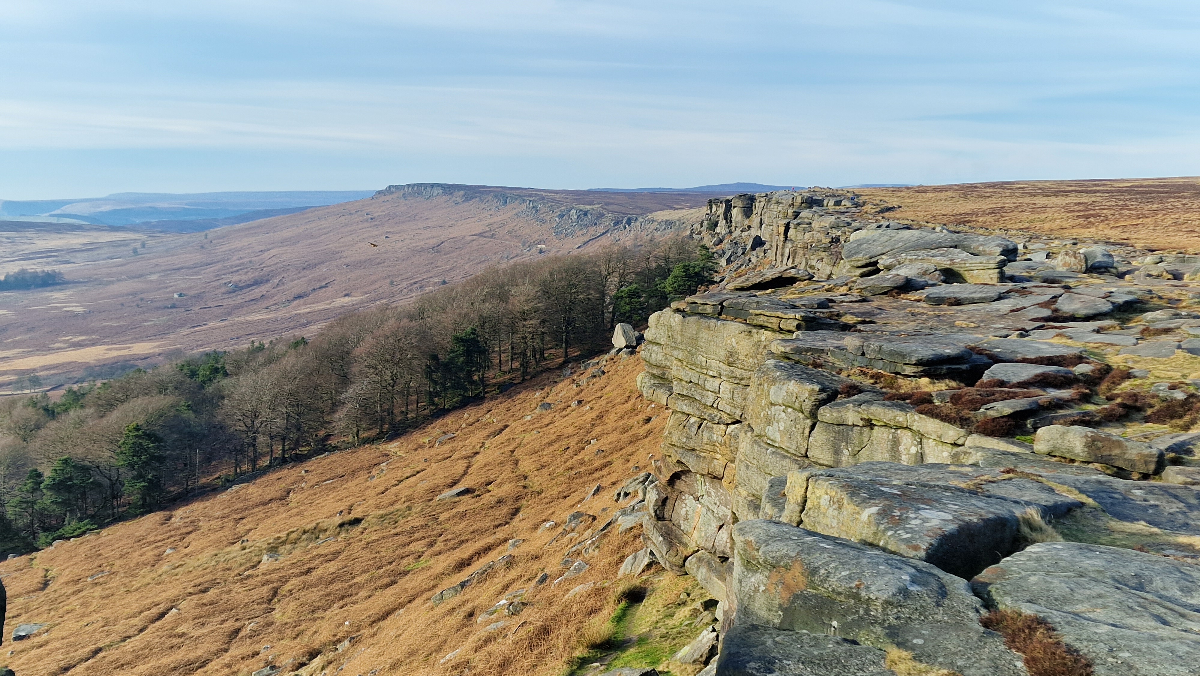
Stanage Edge looking north.
©gritstoneedge.co.uk
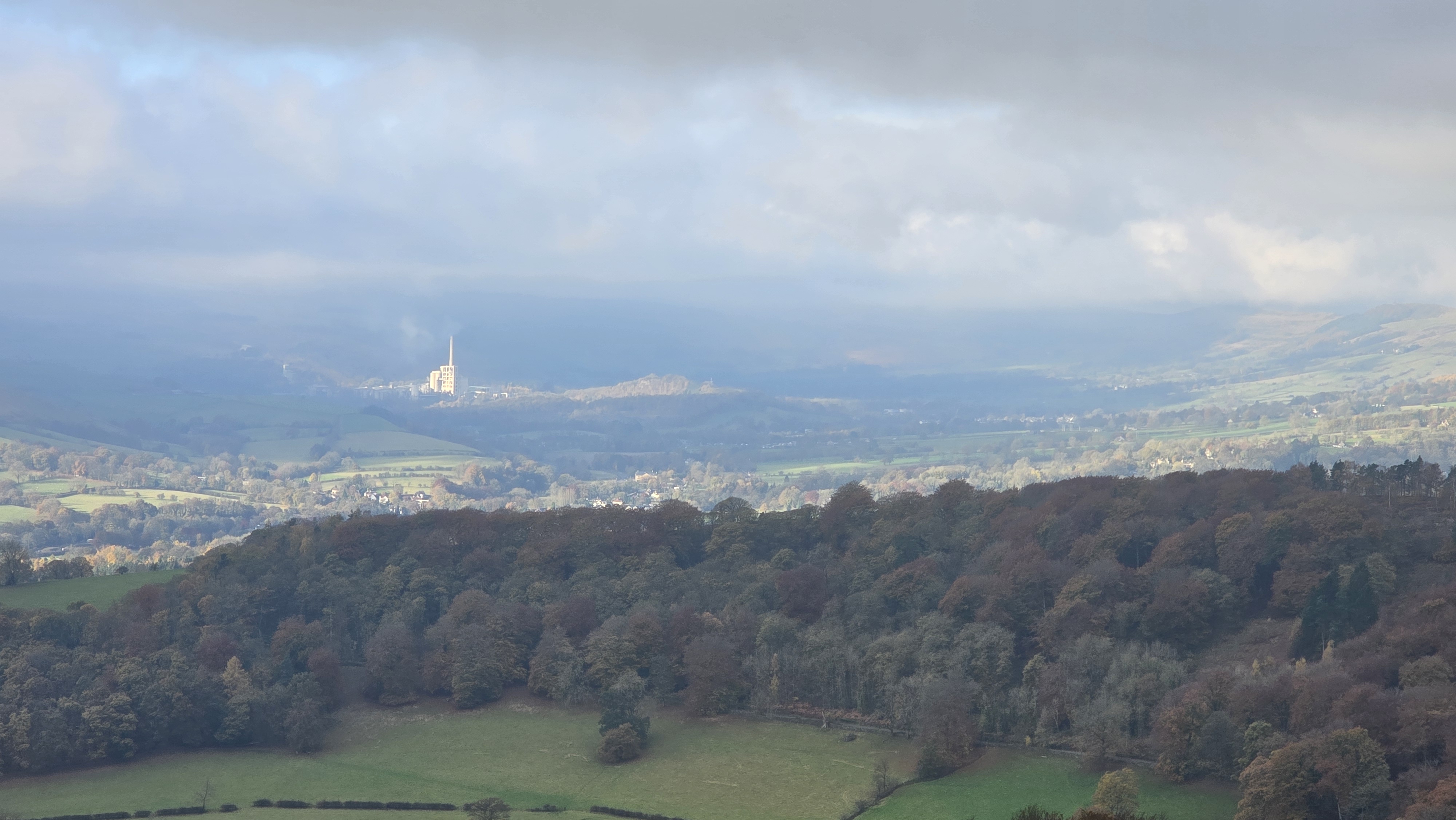
Hope Valley (and factory) from Stanage.
©gritstoneedge.co.uk
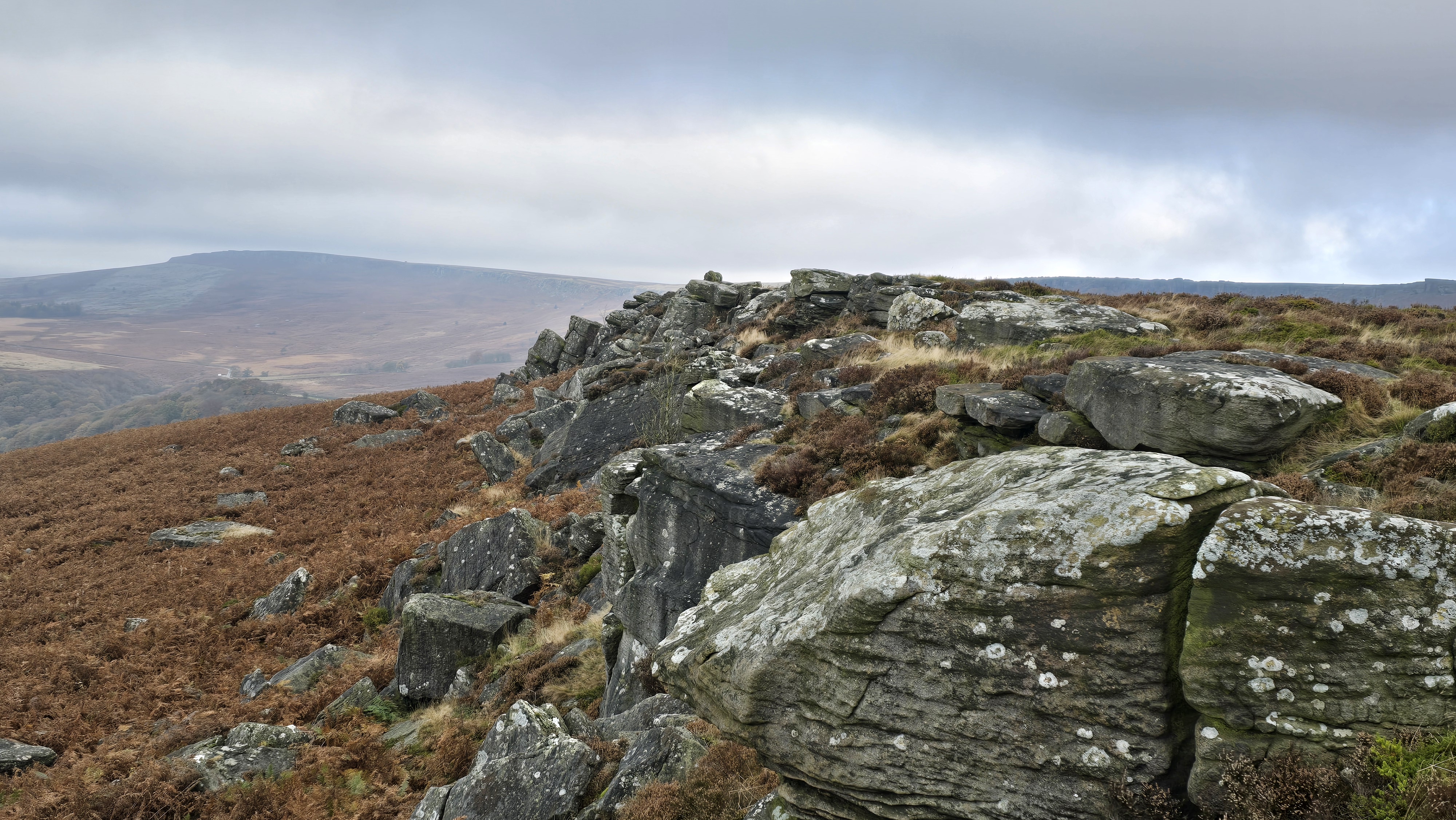
Carhead Rocks and Stanage beyond.
©gritstoneedge.co.uk
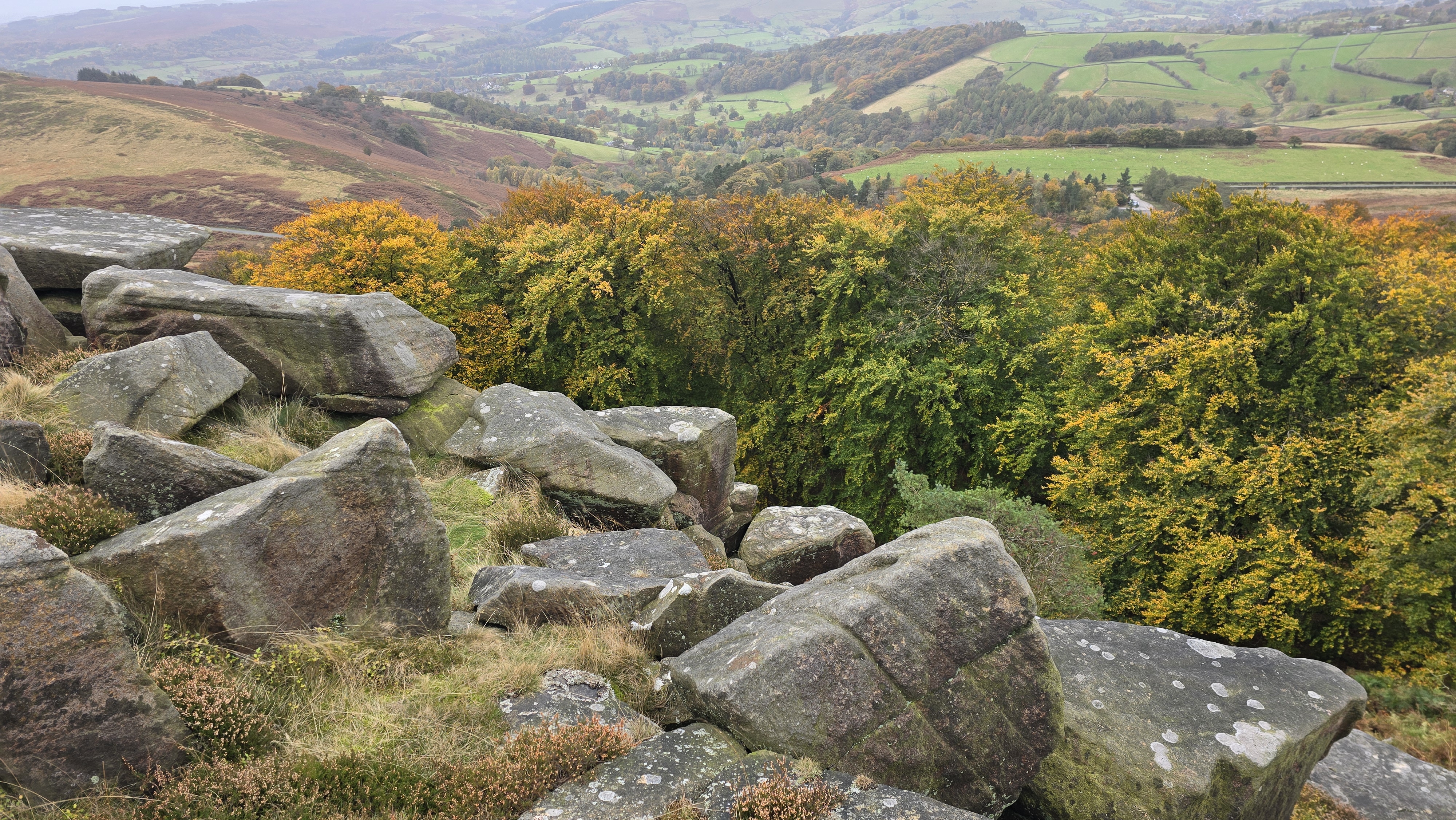
Autumn colours below Stanage.
©gritstoneedge.co.uk
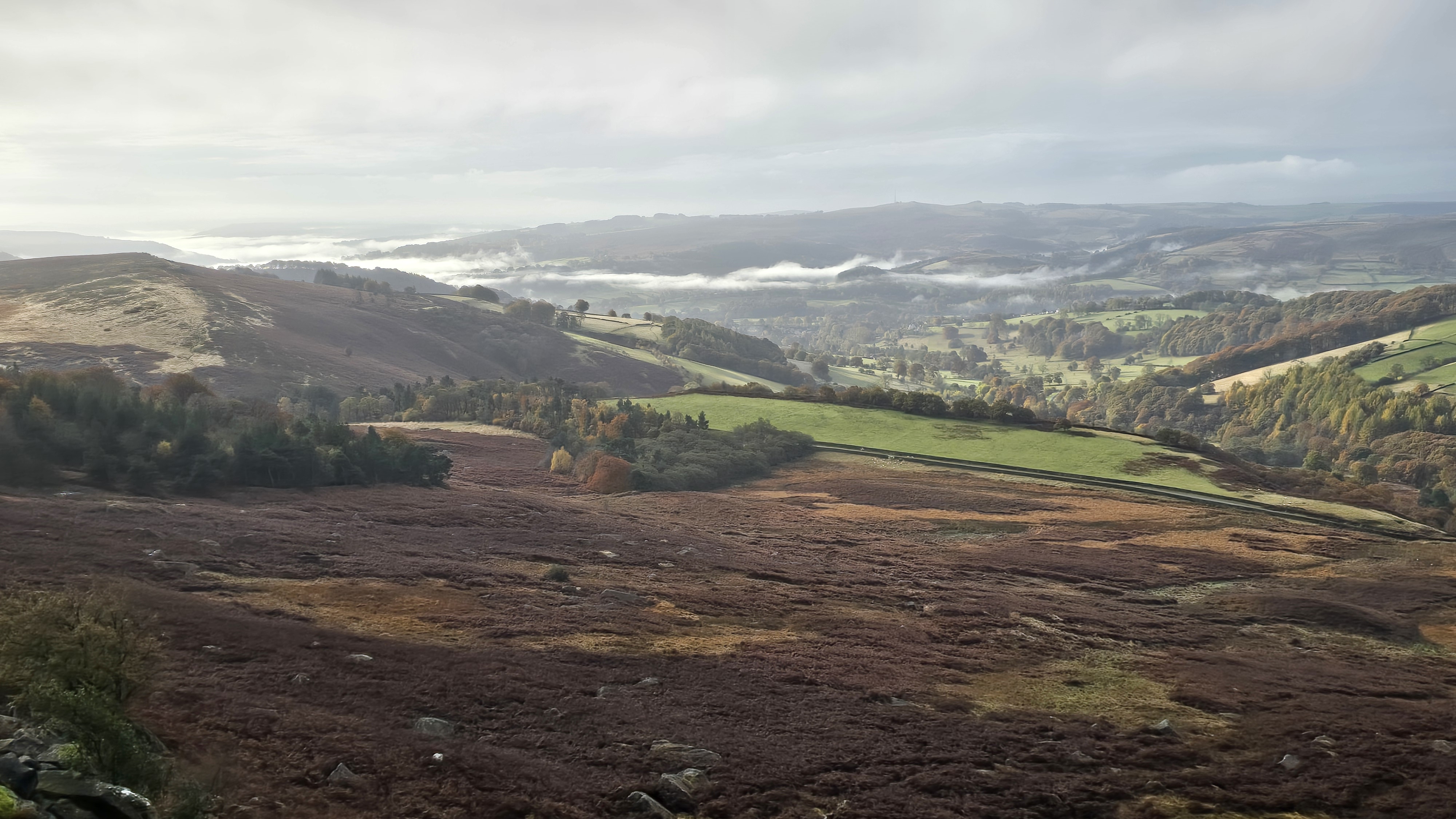
Autumn mist down the valley from Stanage.
©gritstoneedge.co.uk
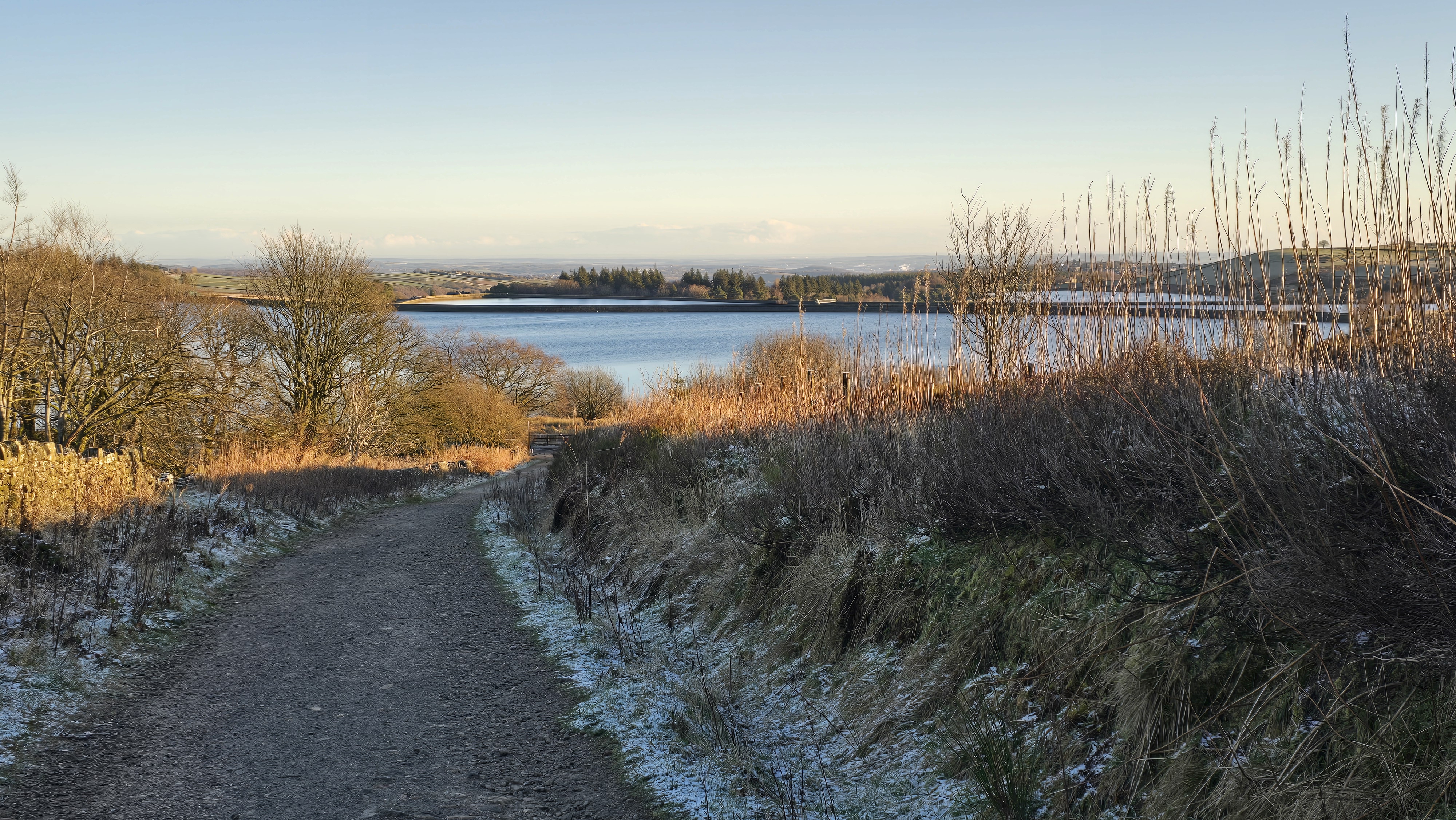
Looking back over Redmires to Sheffield.
©gritstoneedge.co.uk
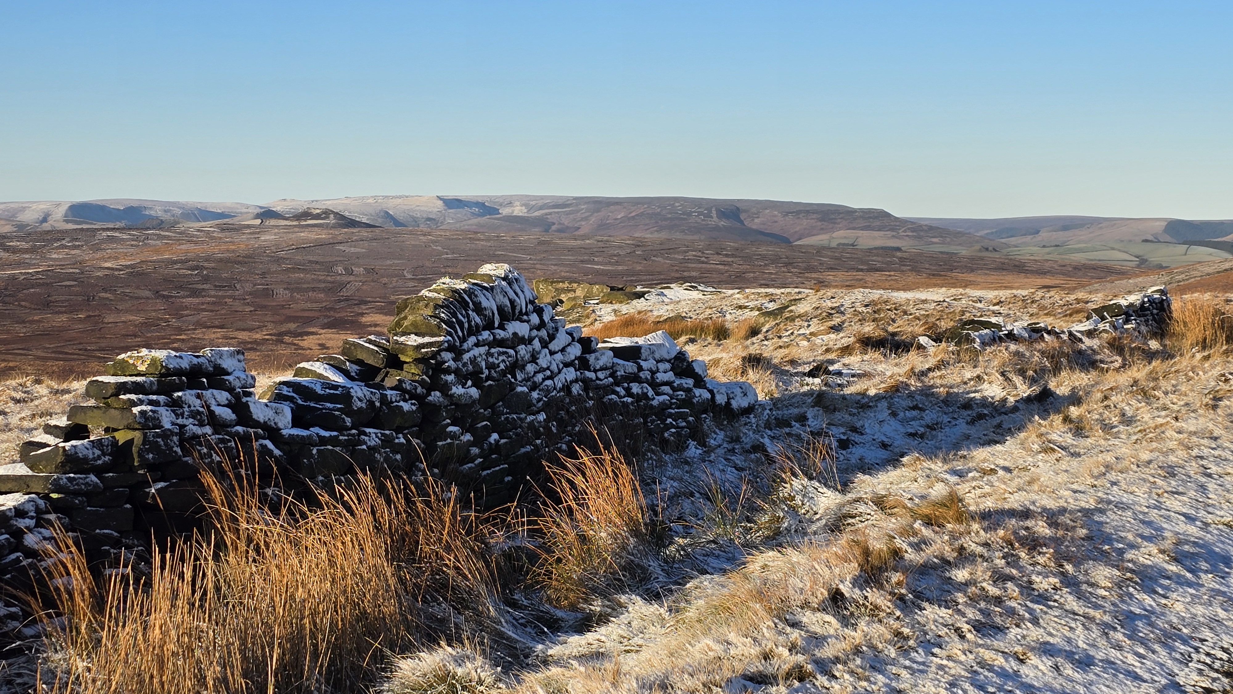
Over to Kinder with a light dusting of snow.
©gritstoneedge.co.uk
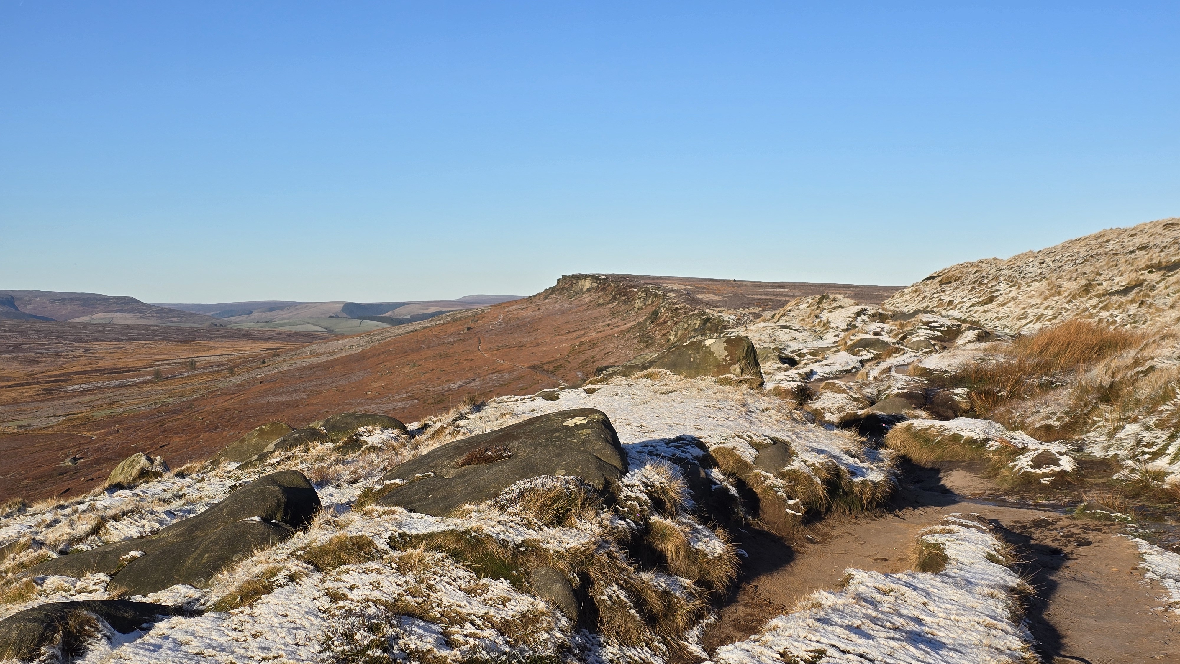
Kinder north with a light dusting of snow.
©gritstoneedge.co.uk
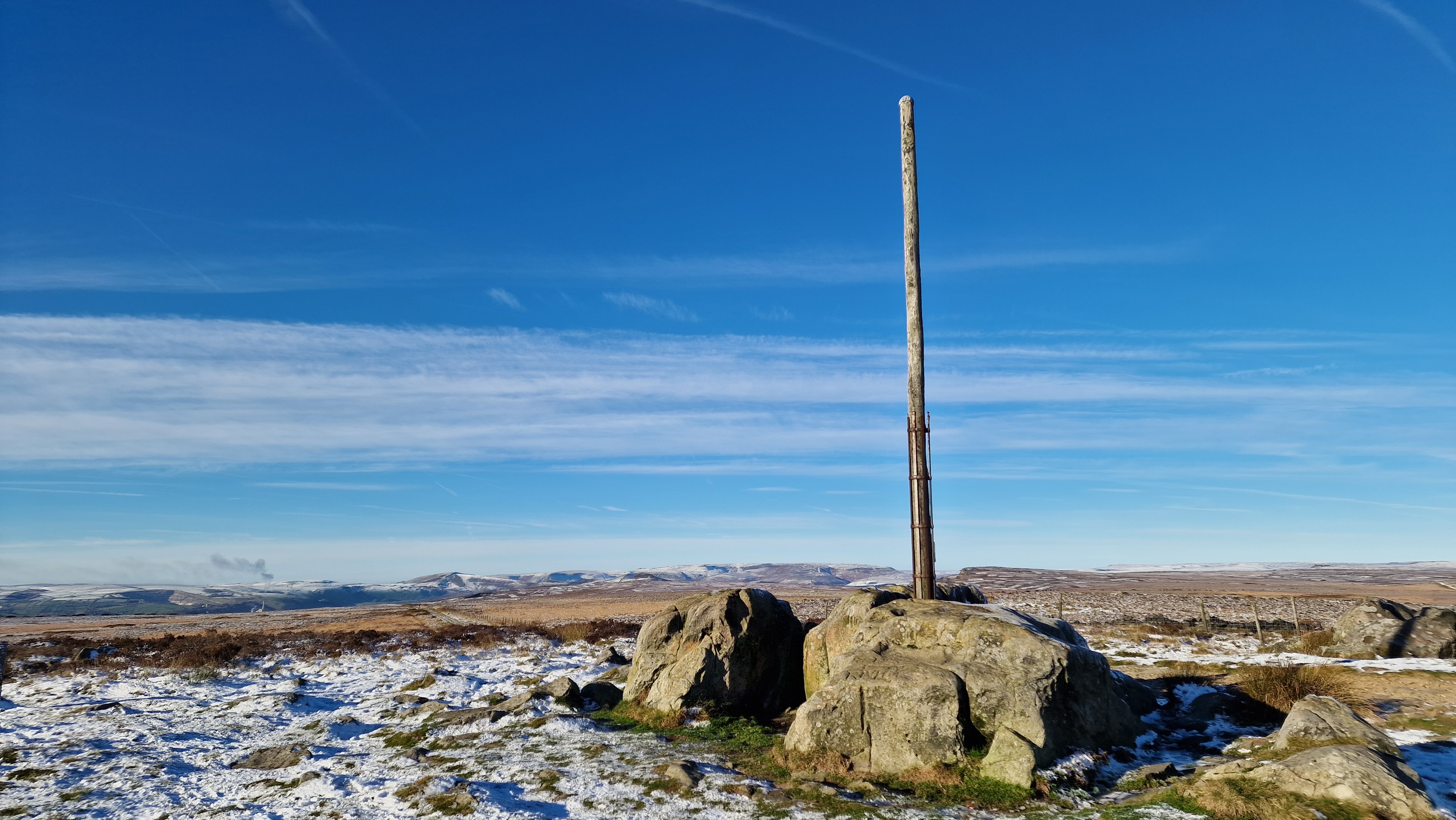
Stanage Pole with a dusting of snow.
©gritstoneedge.co.uk
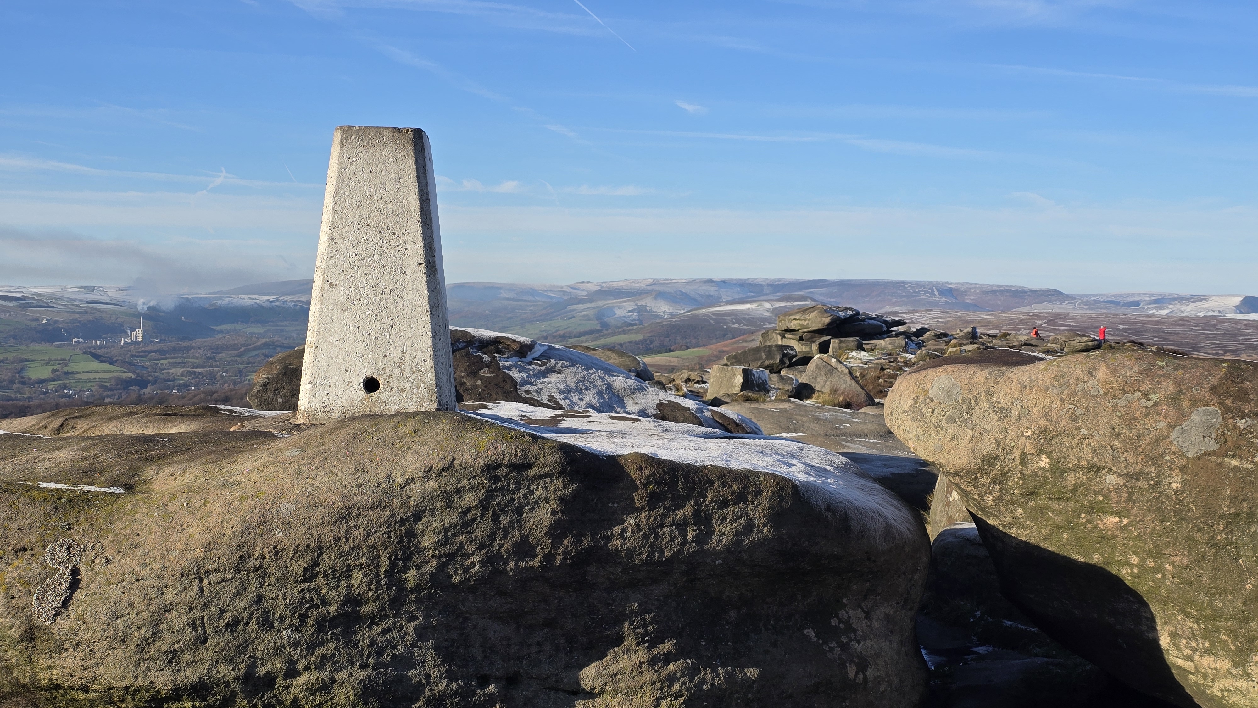
White Path Moss Trig Point with a disting of snow.
©gritstoneedge.co.uk
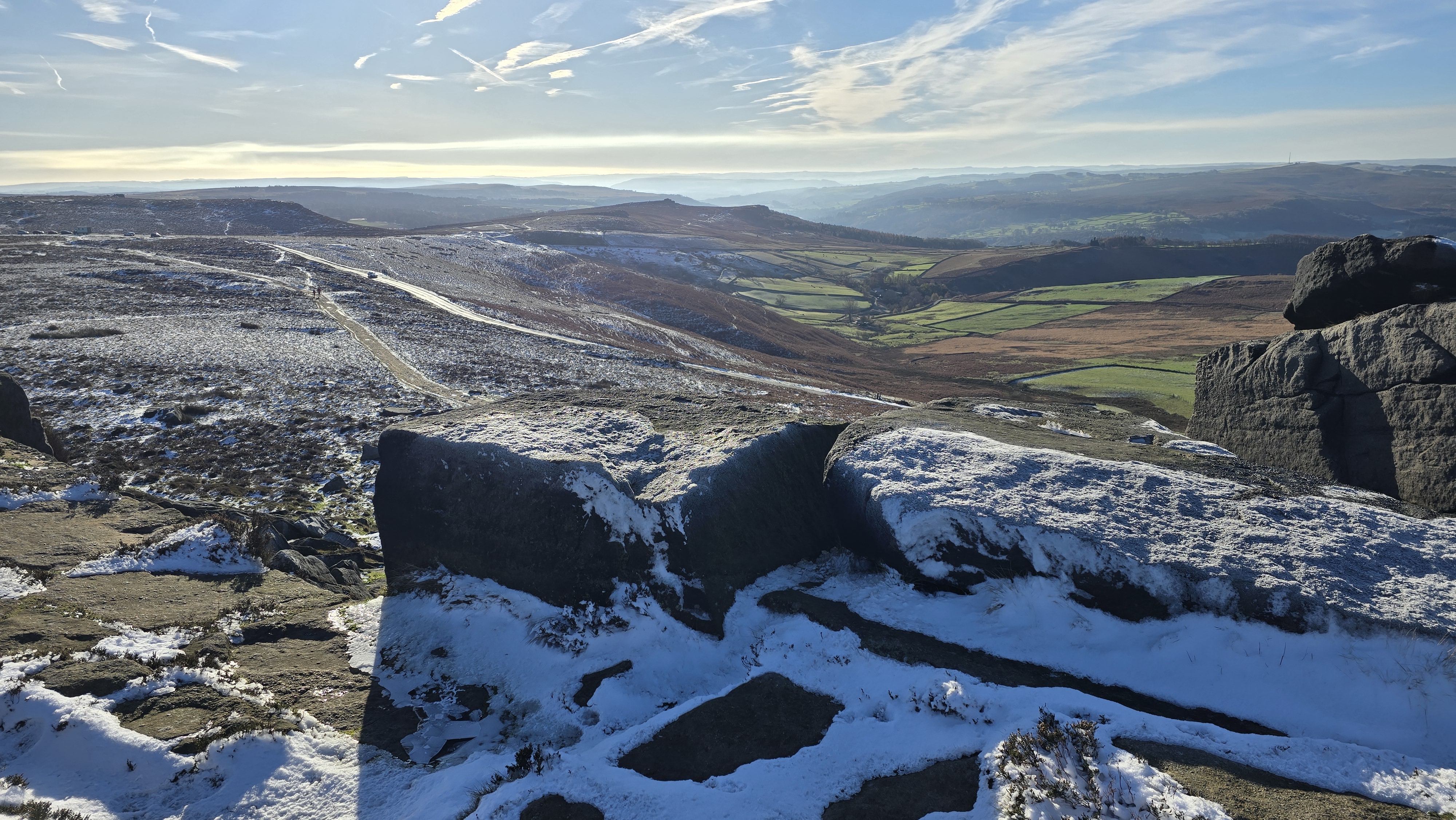
Looking into the sun and south down Stanage.
©gritstoneedge.co.uk
Hathersage
Current Weather
Last Updated today at : 14:13:02
| Overall : | broken clouds |
| Temperature : | 25degC. |
| Wind Speed : | 11km/hr. |
| Wind Direction : | SW |
| Clouds : | broken clouds |
| Precipitation : | none |
| Sunrise : | 05:52:01 |
| Sunset : | 18:06:52 |
| : | Times are GMT add 1 hour for BST |
Data from openweathermap.org
The gritstone edges running along the east of the Dark Peak are unique to the Peak District. Stanage is the grandest of all these gritstone edges, running some 6km in length. Best viewed from a distance. This route takes you along the full length, walking above and below the crags. Stanage Edge is a popular rock-climbing area, busy with climbers in all weathers. The edge can be accessed from various places including the A57 at the north, Redmires over to the east, Burbage Bridge at the south or one of the car parks on the west. This route starts at Hooks Car Parking just below White Path Moss trig point. Once up on the edge it follows the path above the crags for their full length to reach the northern point at Stanage End. The return is largely below the crags to get a different aspect to the magnificent Stange Edge.

