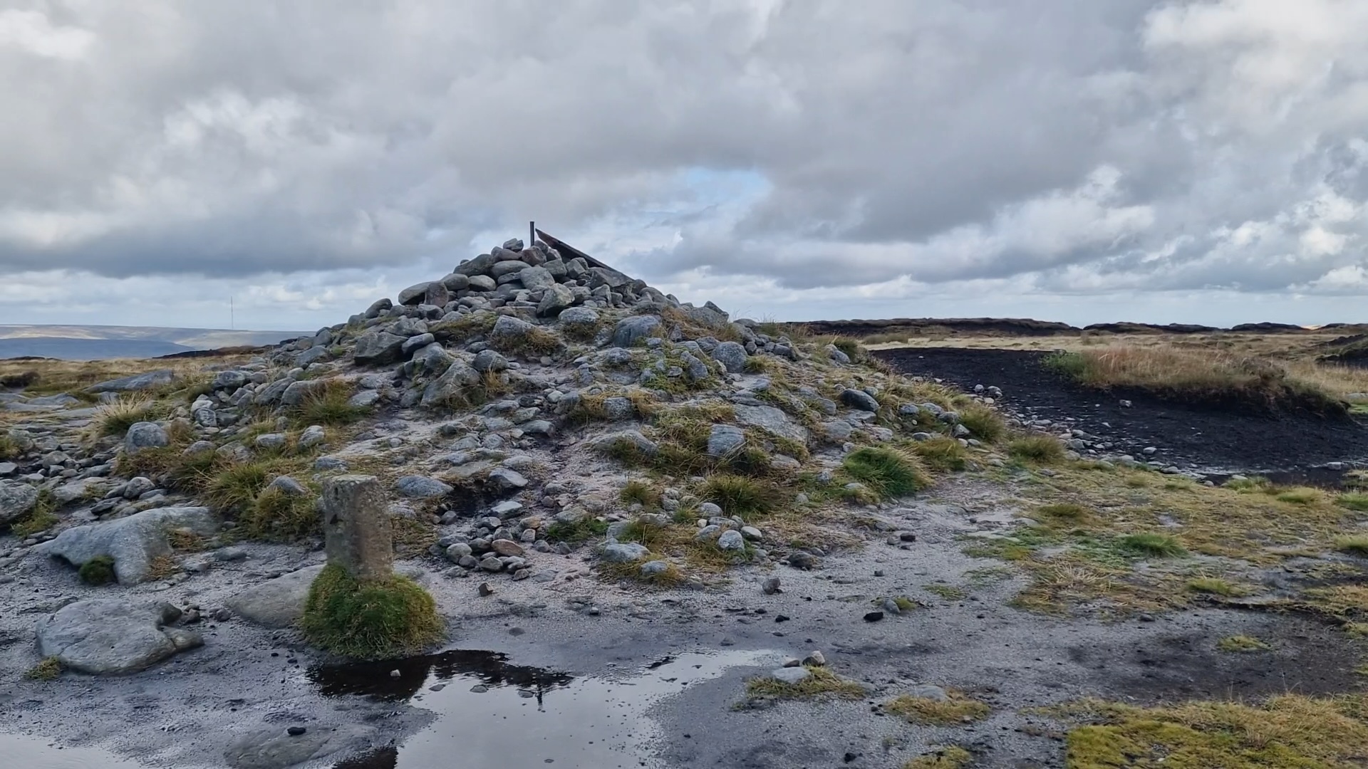
| Hill Summit : | Bleaklow Head[SK094960, 633m.] |
| Hill Summit : | Higher Shelf Stones[SK089947, 621m.] |
| Hill Summit : | Bleaklow Hill[SK105963, 630m.] |
| Hill Summit : | Bleaklow Stones[SK113963, 620m.] |
| Start : | Doctors Gate. Layby off the A57 east of Snake Summit.[SK096929 450m ] |
| Summary : | A57 (Doctors Gate) - Higher Shelf Stones - Hern Stones - Wain Stones - Bleaklow Head - Bleaklow Hill - Bleaklow Stones - Bleaklow Head - A57 (Doctors Gate) |
| distance : | 12.5km. |
| ascent : | 220m. |
| time : | 4hr. 10min. |
Bleaklow is a vast desolate moorland area between the A57 (Snake Pass) and the A628 (Woodhead Pass). The area around Bleaklow Head is the high point of this plateau, but is not much higher than the surrounding area. The Pennine Way cuts across Bleaklow and this route has the Pennine Way at the core. The route takes in Higher Shelf Stones, Bleaklow Head, Bleaklow Hill and Bleaklow Stones. In an attempt to improve Bleaklow much environmental work has been carried out. Gone are the vast swathes of dark exposed and eroding peat - now much of the area has good quality green grass. This has hidden many paths making this an area to explore again.
Glossop
Current Weather
Last Updated today at : 22:55:26
| Overall : | clear sky |
| Temperature : | 10degC. |
| Wind Speed : | 17km/hr. |
| Wind Direction : | ESE |
| Clouds : | clear sky |
| Precipitation : | none |
| Sunrise : | 06:03:38 |
| Sunset : | 17:53:19 |
| : | Times are GMT add 1 hour for BST |
Data from openweathermap.org
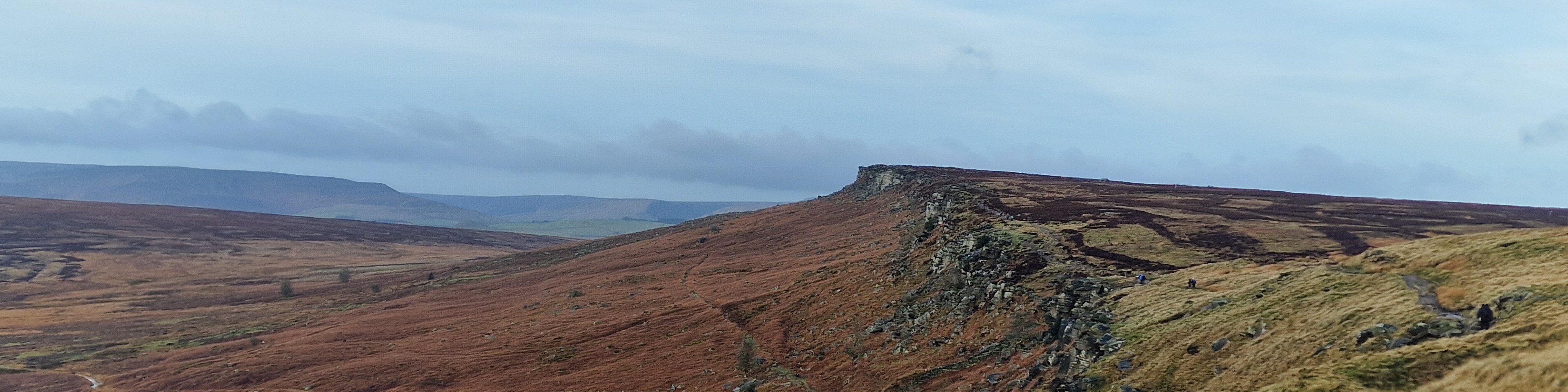
Bleaklow Head
©gritstoneedge.co.uk
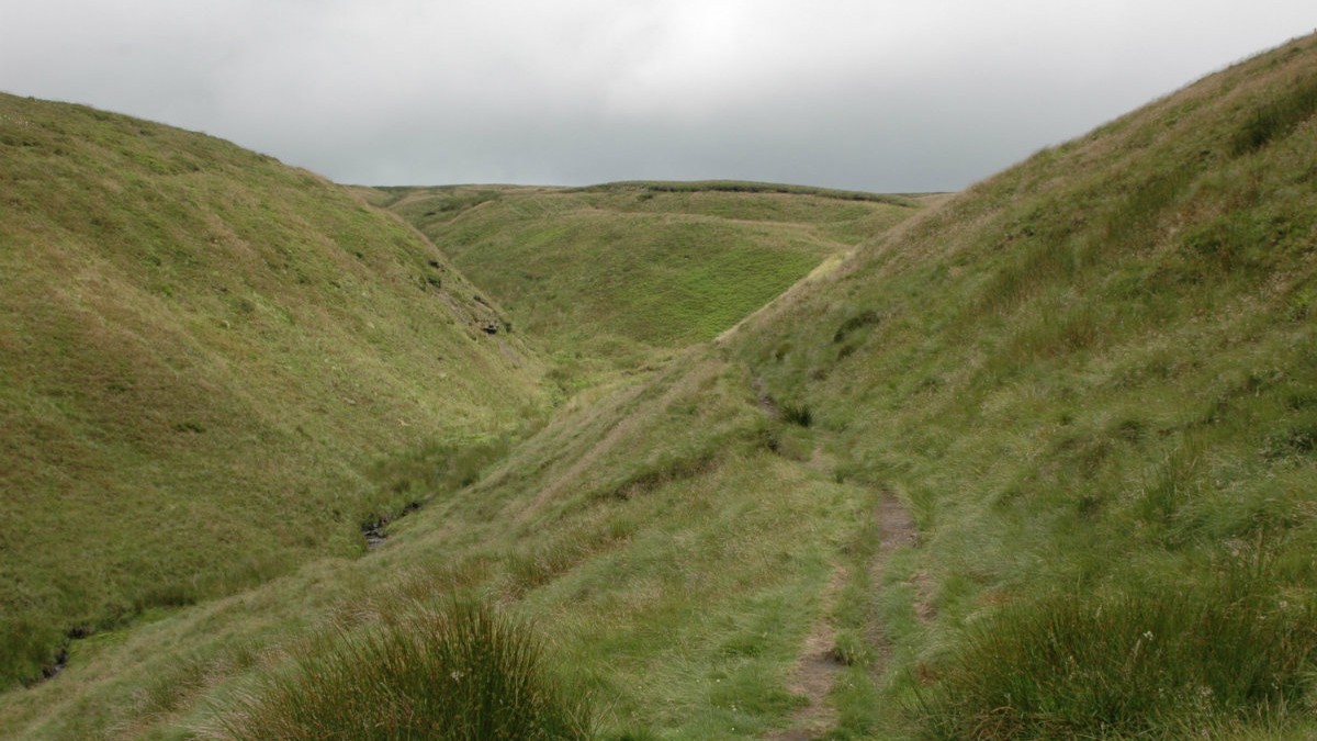
Route up Doctors Gate
©gritstoneedge.co.uk
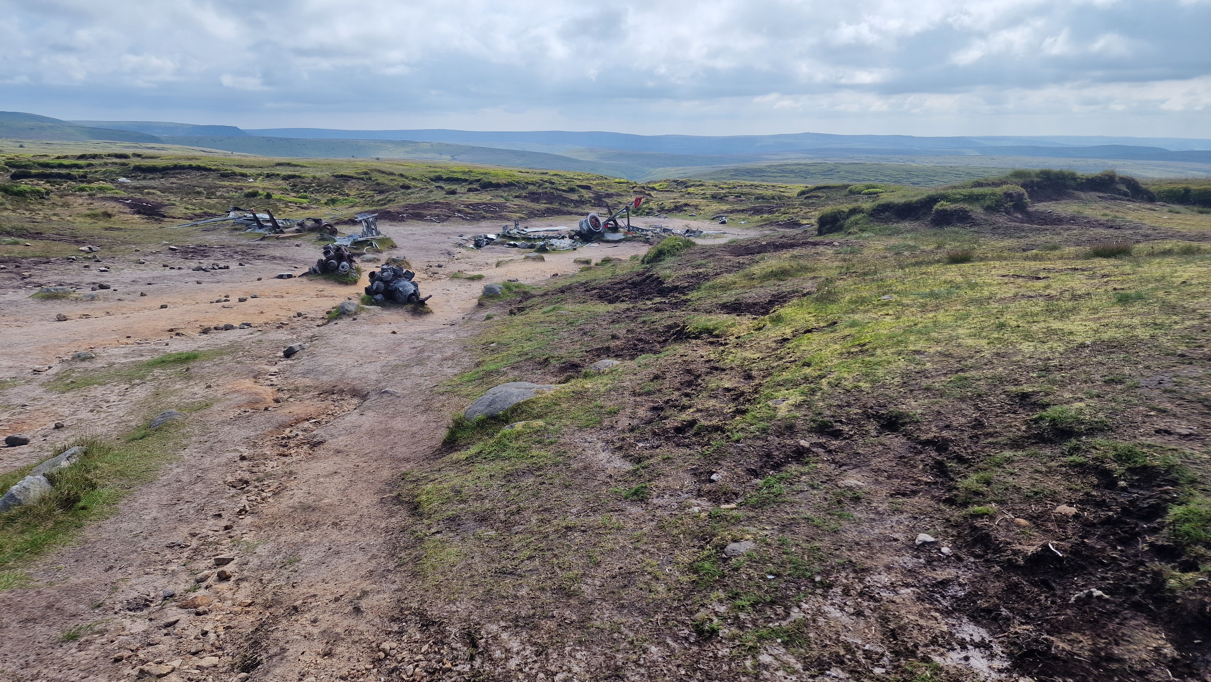
Aircraft wreck on Higher Shelf Stones
©gritstoneedge.co.uk
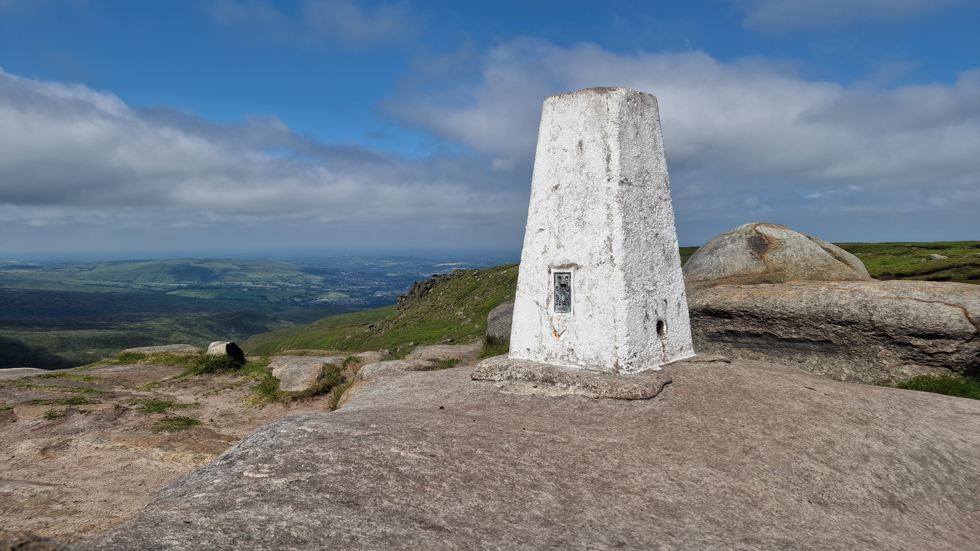
Higher Shelf Stones Trig Point.
©gritstoneedge.co.uk
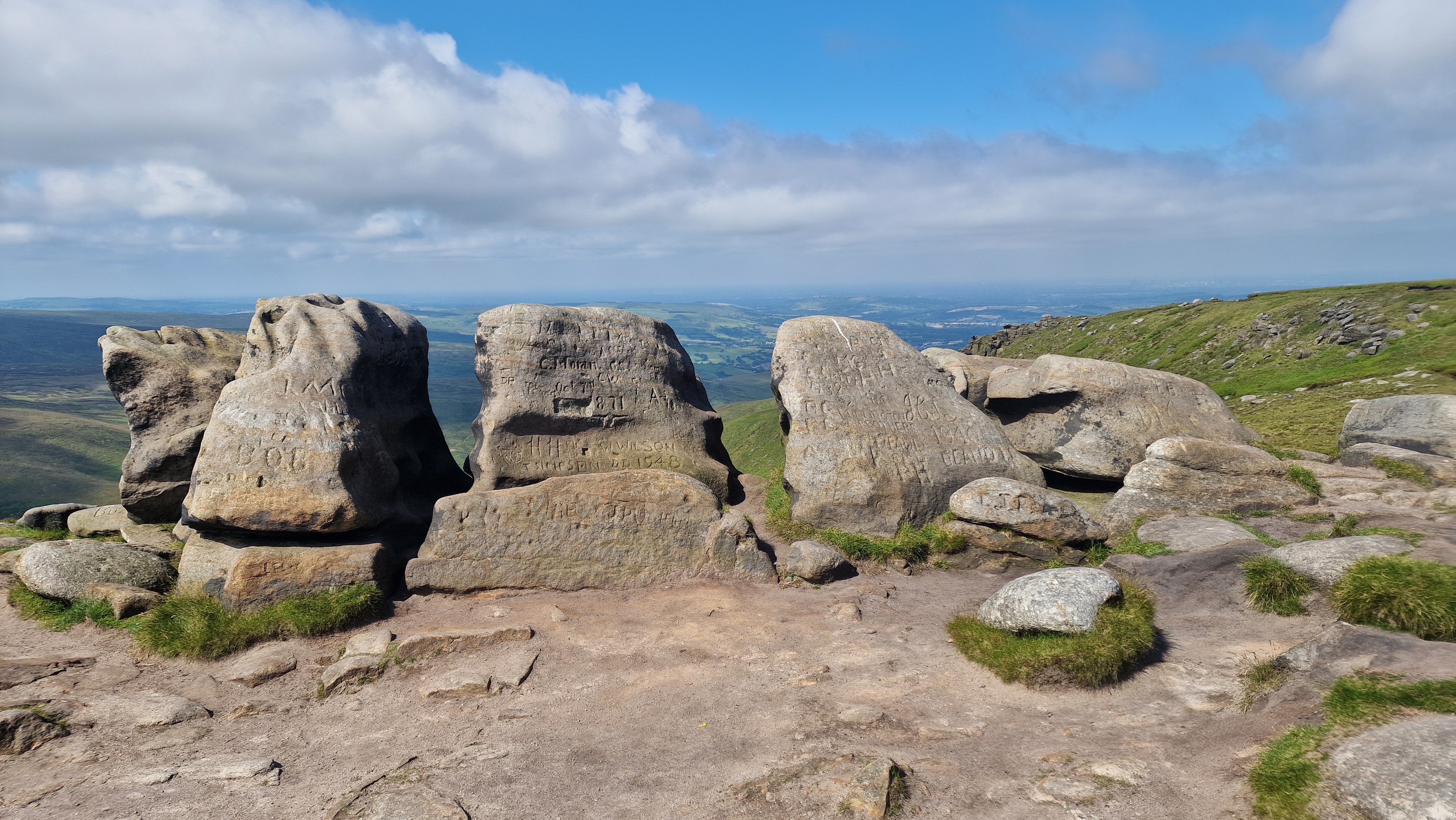
Rocks at Higher Shelf Stones.
©gritstoneedge.co.uk
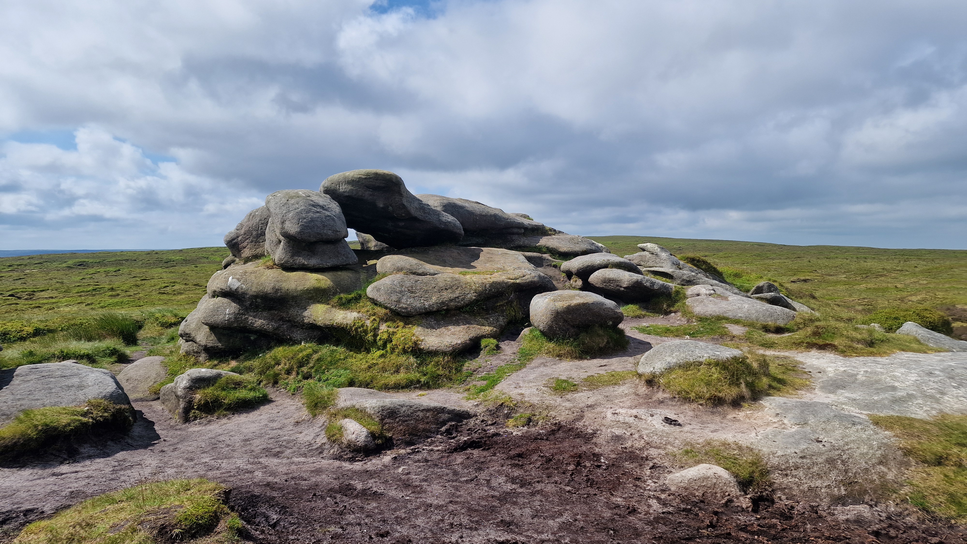
Hern Stones.
©gritstoneedge.co.uk
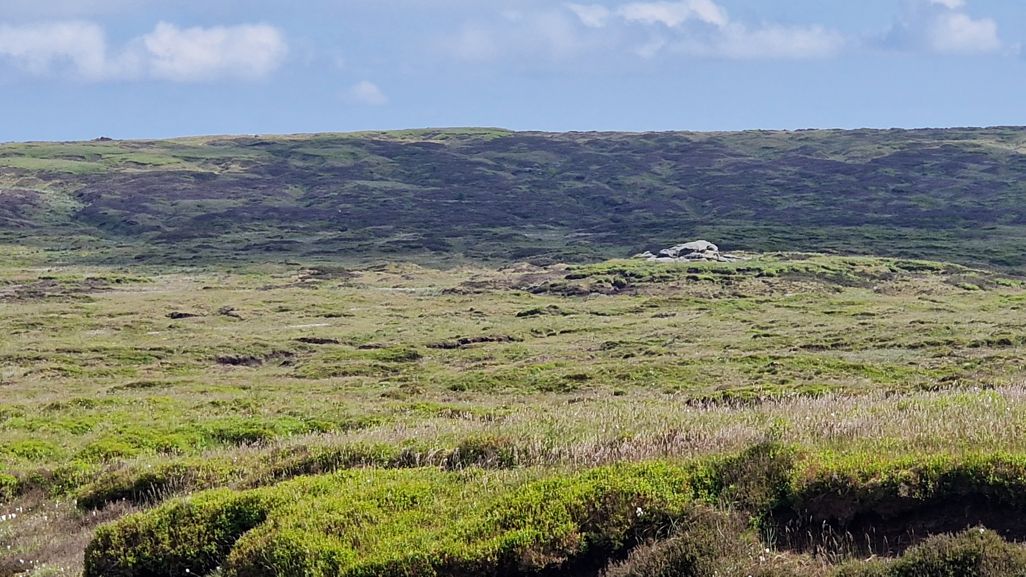
Hern Stones over to Bleaklow Head.
©gritstoneedge.co.uk
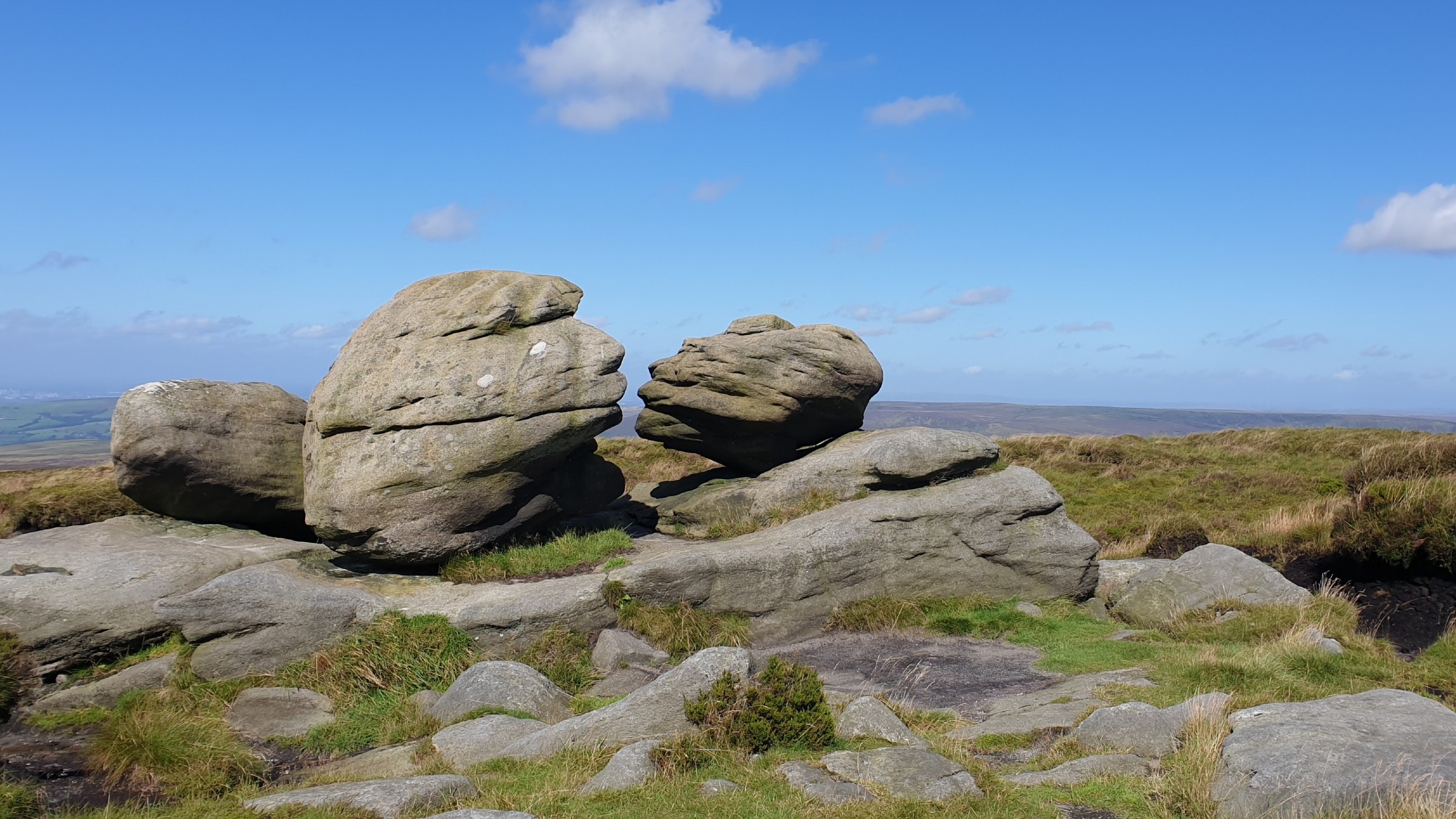
Wain Stones
©gritstoneedge.co.uk
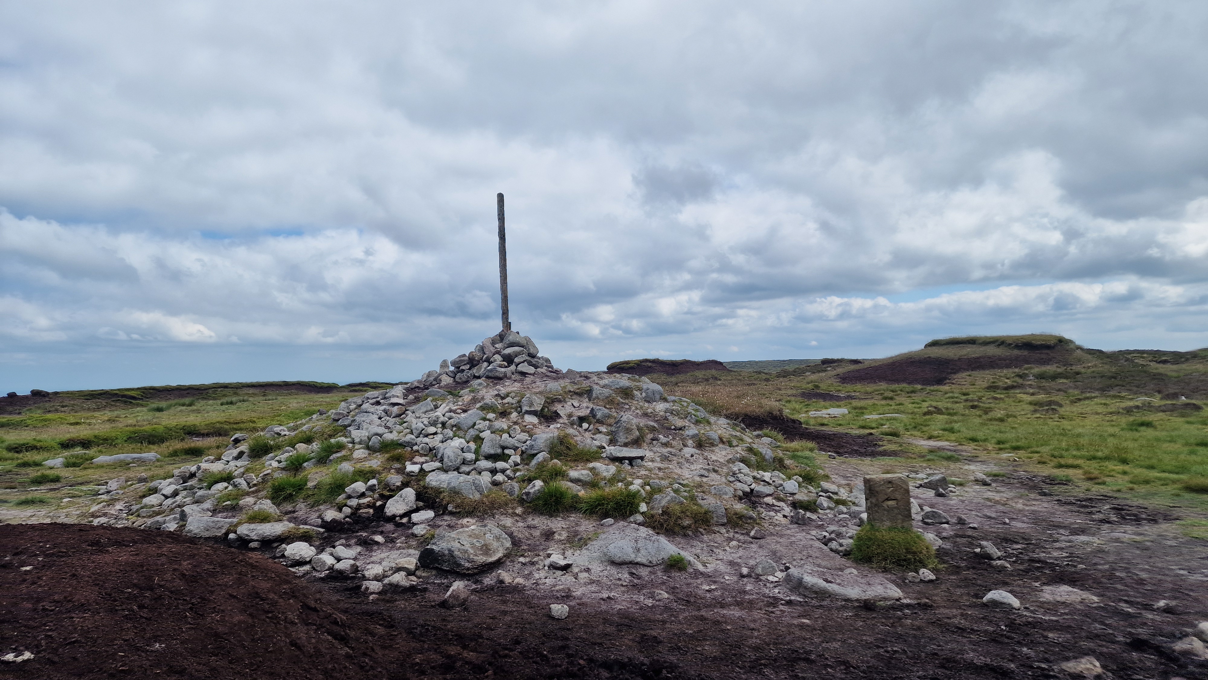
Bleaklow Stones
©gritstoneedge.co.uk
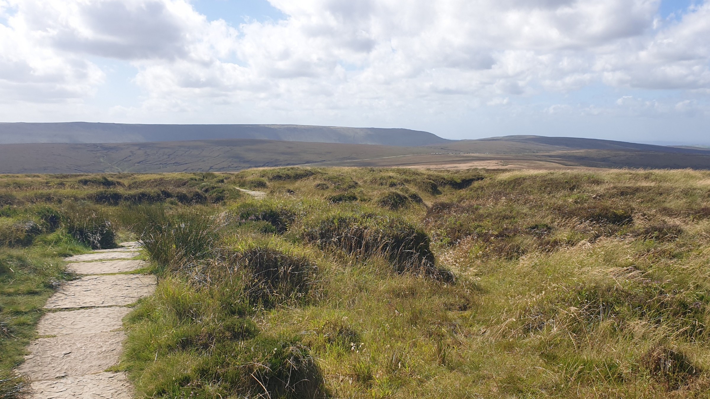
View over to Kinder
©gritstoneedge.co.uk
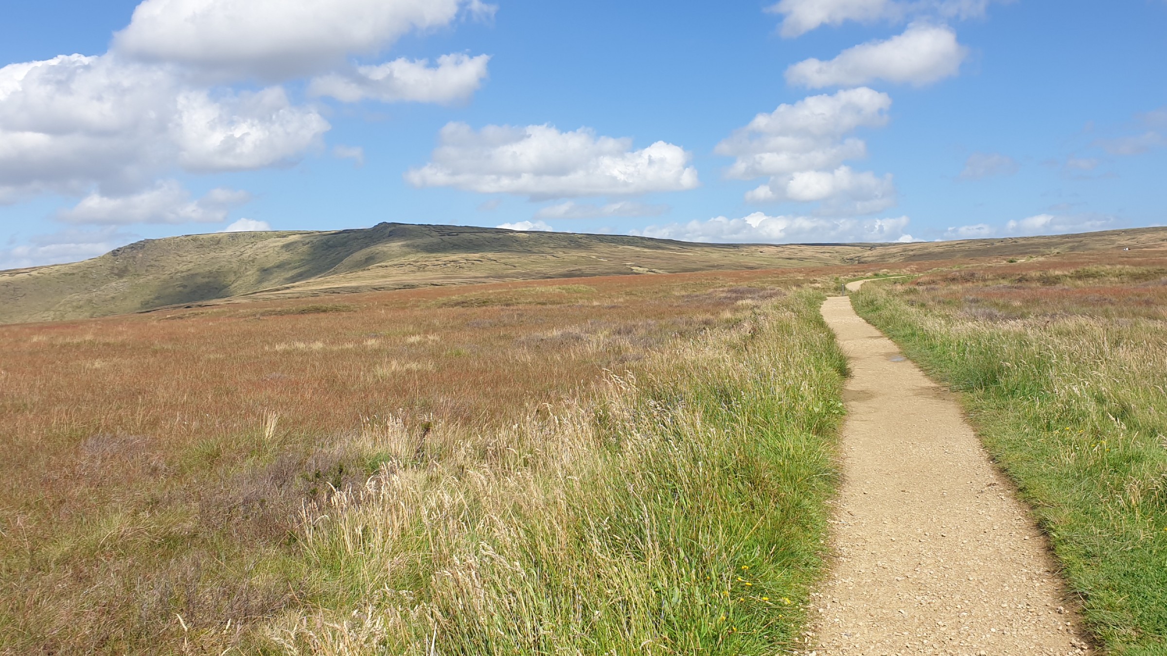
Looking up to Higher Shelf Stones.
©gritstoneedge.co.uk
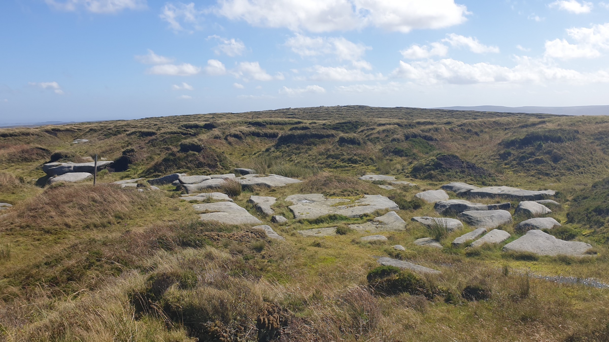
On the way to Bleaklow Hill.
©gritstoneedge.co.uk
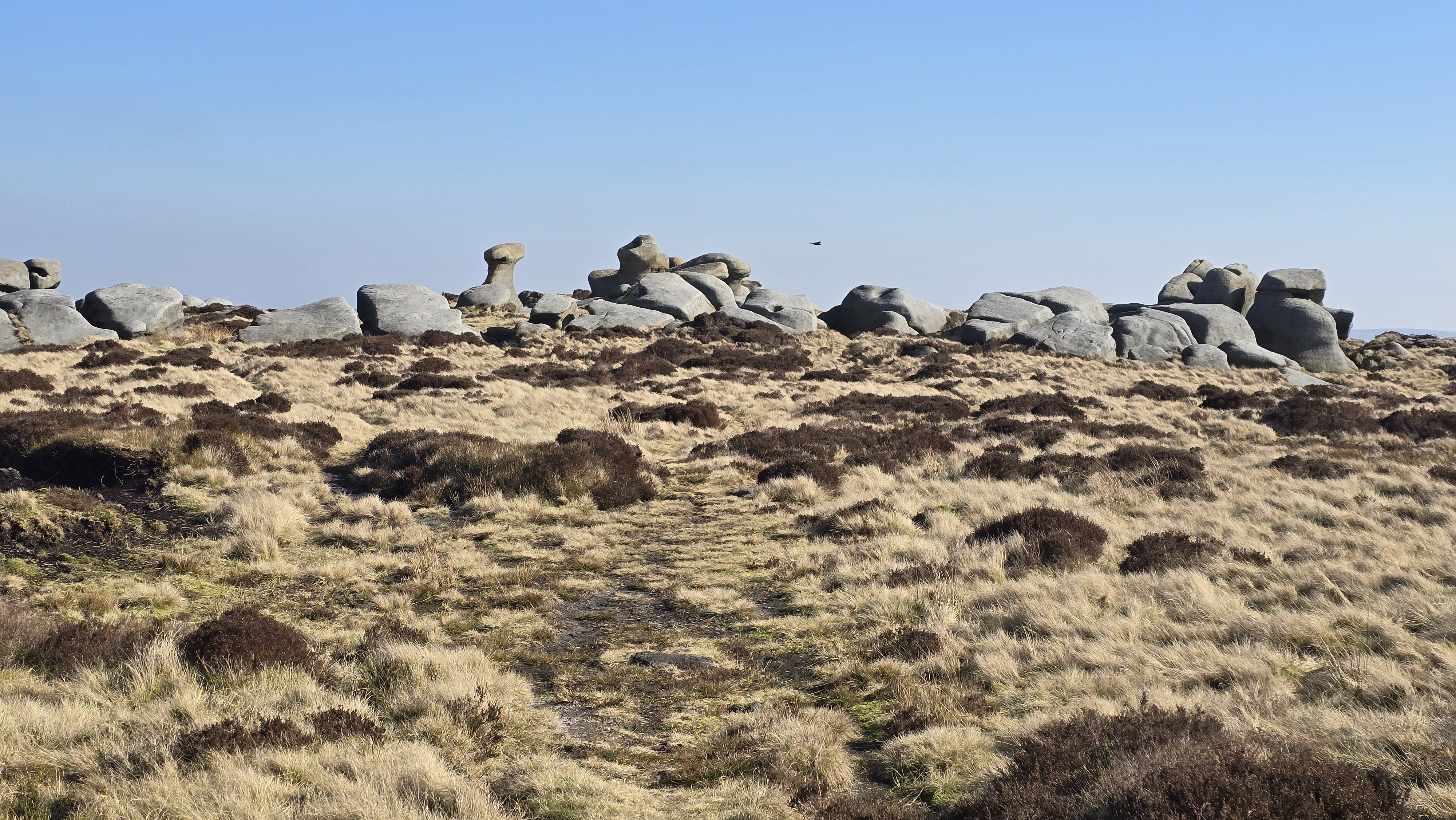
Looking north from around Bleaklow Stones.
©gritstoneedge.co.uk
From the layby at Doctor's gate just on the east of Snake summit, go through the gate and follow the valley, up onto the moor. The path to the Penine Way has been much improved but can have wet and boggy patches. Turn right upon reaching the Pennine Way. This path is excellent with a smooth hard core of sandstone or sandstone slabs. The route goes up Devils Dyke, an obvious cut through the moor. On turning around at the top of Devils Dyke, at Alport Low, there is a great view south over to Kinder. Continue along the path to cross Hern Clough. From here there is a smaller path straight ahead that goes over the moors towards Higher Shelf Stones. Follow this path over the moors. Towards Higher Shelf Stones, this reaches the crash site of a Super Fortress which crashed into the hilside in 1948. There are many people that park at the Snake Summit just to walk to this crash site and consequently this is a very busy area of Bleaklow. Walk solomnly up through the aircraft wreckage and then onto reach the trig point of Higher Shelf Stones.(3.0kms. 140m. 1hrs. 10min.)
The best way to Hern Stones is to walk on a bearing, but taking the paths when they appear. This area can be quite confusing, and remote, but there are paths on the ground if not on the map. Once at Hern Stones, follow the path due north to get to Wain Stones. This path runs parallel to the Pennine Way and is a good path. Given the correct angle, the Wain Stones look like they are kissing, the kissing stones. It is then a simple walk along the good path to reach Bleaklow Head with the large cairn and stake. The actual true summit of Bleaklow is on top of a peat hagg some 50m east of the large cairn at 633m. There are good views to the north over to Black Hill from here.(1.5kms. 40m. 0hrs. 40min.)
There is a path from Bleaklow Head over to Bleaklow Hill and Bleaklow Stones but it is indistinct in many places. Starting at Bleaklow Head, follow the path east, keeping to the stakes. These stakes, both short and tall, help the navigation to Bleaklow Hill and keep the walker on the right track. Bleaklow Hill is not marked with any cairn so you may wish to guess which lump is the highest. There is a stake below the true top with some large flat stones. Continue along the same line of stakes to reach an area just south of Bleaklow Stones. Again there is no path and the route is along the series of stakes, some visible some not. In less than perfect visibility a map and compass is needed. Once at Bleaklow Stones, look around, there are many interesting stones in and around the area. From here the views north draw the eye over to Black Hill and Emily Moor Mast; the views south are down the Westend.(2.0kms. 20m. 0hrs. 40min.)
The return is via the uphill route back to Bleaklow Head and then down the Pennine Way. Once finished exploring Bleaklow Stones, return to the line of stakes. Then follow this line, west, making to Bleaklow Hill and then onto Bleaklow Head. Navigation can be difficult here and the rough ground can be exhausting. Use of a GPS device or mobile phone can help in following the correct path. Trending down the hillside to the north or south is to be avoided. In perfect visibility Bleaklow Head stands out, easing the navigation. Once at Bleaklow Head follow the Pennine Way south back towards the Snake Pass. There are often many cars parked along the A57 at the snake summit. For change walk over to Snake Pass. At the road walk downhill, there is a complete path on the right (south) side of the road. The start point is by the bridge at the steep bend.(6.0kms. 20m. 1hrs. 50min.)
About gritsoneedge.co.uk:
This site includes many walking routes over the Peak District including the Eastern Edges, Kinder and Bleaklow. There are some great days to be had when walking in this area in all seasons. Safe to say we have experienced some really terific conditions as well as some wild days. Each provides an experience not to be missed.
The aim of this site is to provide a "modern" guidebook, a mobile phone friendly online guide. View this site on your mobile phone. Take this with you when walking and you will be able to follow the routes. However do not rely on this; mobile phone reception is not ubiquitous throughout the Peaks. Make sure you take a map and compass and the ability to us them as well.





Disclaimer :This site has links to many adventures in the outdoors, walking or cycling in hills and moors, within the UK. These can be dangerous activities. Conditions can change rapidly in the outdoors. The information and links provided on this site is given in good faith. gritstoneedge.co.uk cannot be held responsible for any loss or injury caused by encouraging you into the outdoors of by the accuracy of the information provided on this site.
© gritstoneedge.co.uk all rights reserved 2015-2026