
| Start : | Hooks Car Park - Roadside Parking. Roadside parking is at the junction of the two minor roads. There is ample parking but it can get busy with climbers. Payment is now required. [SK244829 360m ] |
| Summary : | Hooks Car Parking - White Path Moss trig point - Cowper Stone - White Path Moss trig point - Stanage Pole - Long Causeway - High Neb - Stanage End - Long Causeway - Hooks Car Parking |
| distance : | 14.0km. |
| ascent : | 230m. |
| time : | 4hr. 30min. |
The gritstone edges running along the east of the Dark Peak are unique to the Peak District. Stanage is the grandest of all these gritstone edges, running some 6km in length. Best viewed from a distance. This route takes you along the full length, walking above and below the crags. Stanage Edge is a popular rock-climbing area, busy with climbers in all weathers. The edge can be accessed from various places including the A57 at the north, Redmires over to the east, Burbage Bridge at the south or one of the car parks on the west. This route starts at Hooks Car Parking just below White Path Moss trig point. Once up on the edge it follows the path above the crags for their full length to reach the northern point at Stanage End. The return is largely below the crags to get a different aspect to the magnificent Stange Edge.
Hathersage
Current Weather
Last Updated today at : 22:51:02
| Overall : | scattered clouds |
| Temperature : | 10degC. |
| Wind Speed : | 10km/hr. |
| Wind Direction : | E |
| Clouds : | scattered clouds |
| Precipitation : | none |
| Sunrise : | 06:02:25 |
| Sunset : | 17:52:10 |
| : | Times are GMT add 1 hour for BST |
Data from openweathermap.org
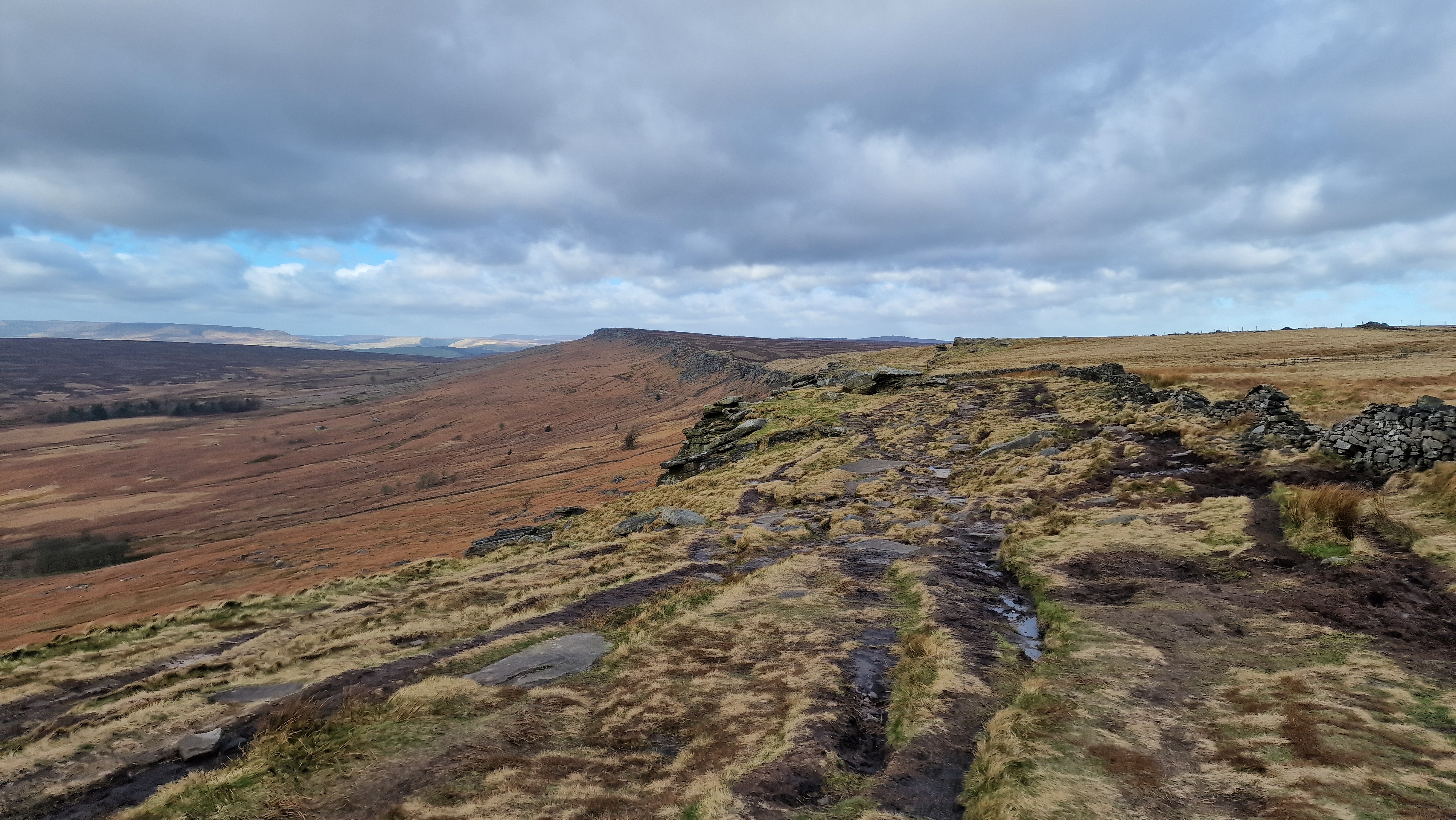
View of Stanage Edge from White Path Moss trig.
©gritstoneedge.co.uk
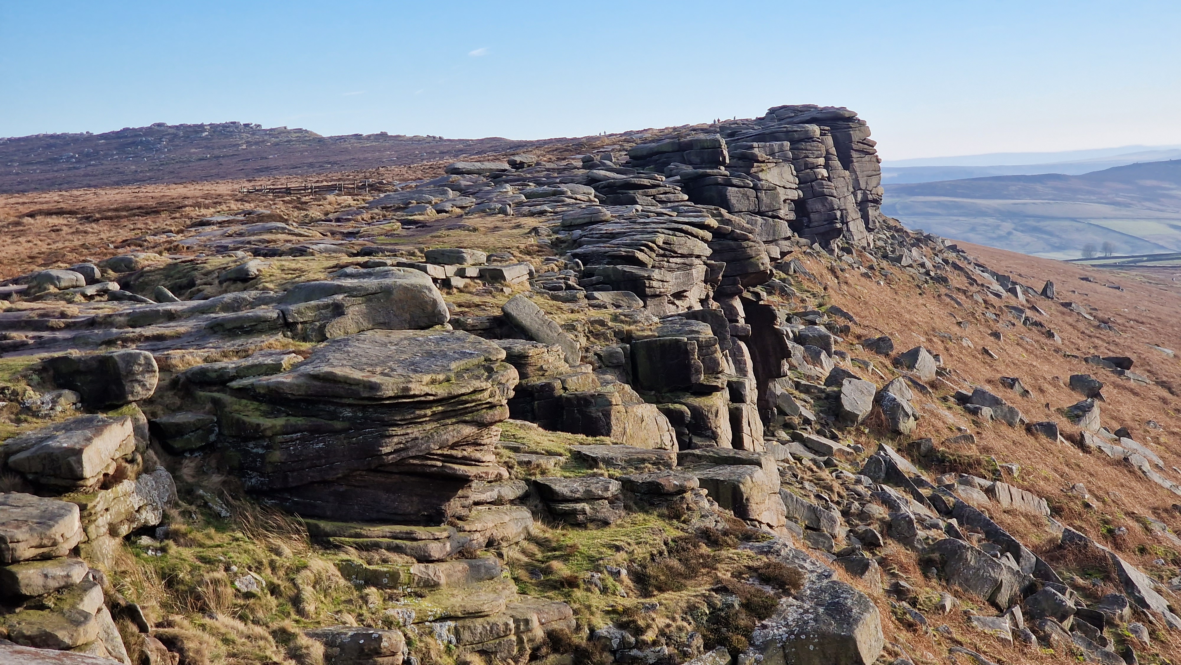
Looking south along Stanage Edge.
©gritstoneedge.co.uk
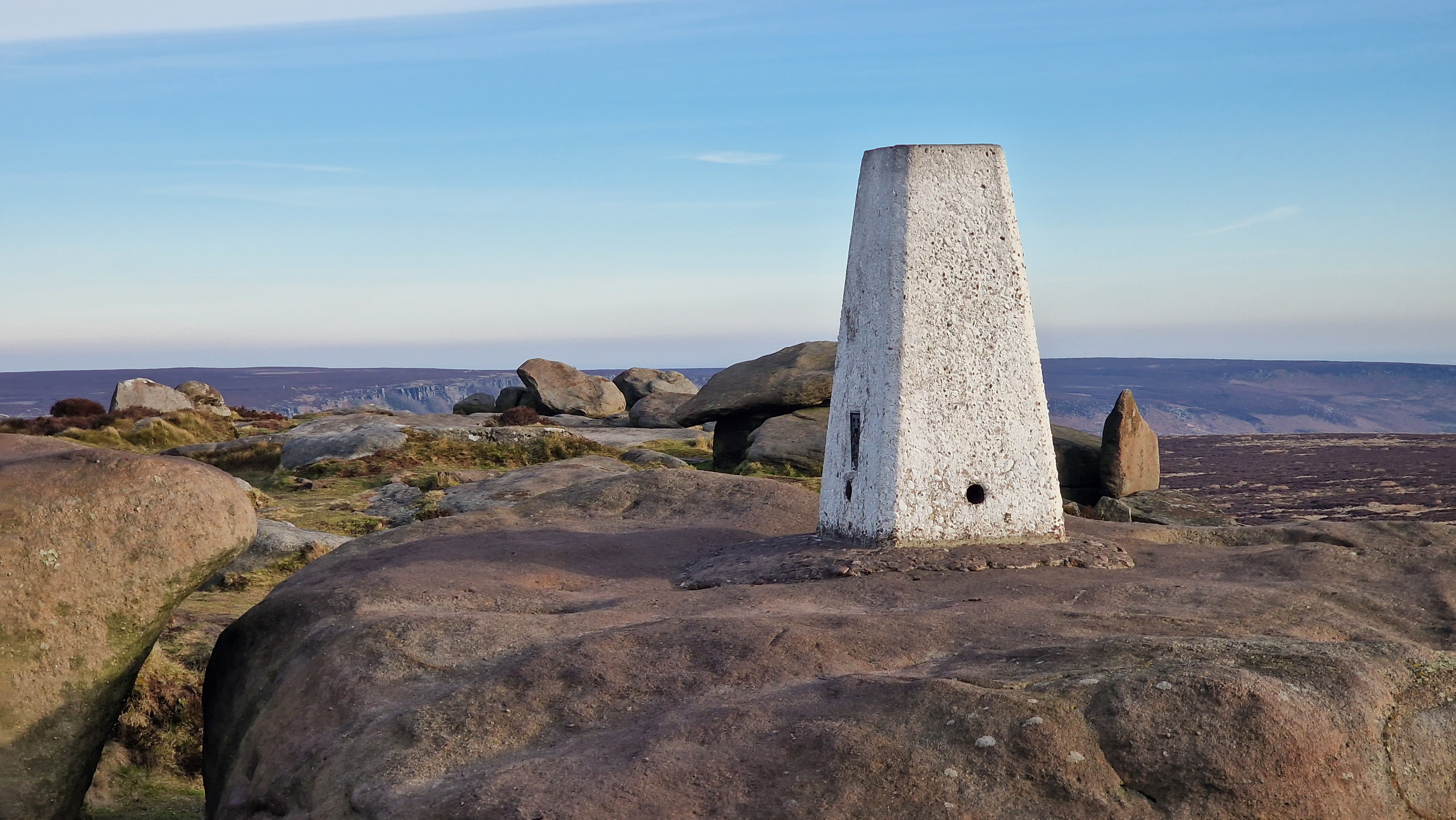
Stanage Edge White Path Moss trig set amongst rocks at 457m.
©gritstoneedge.co.uk
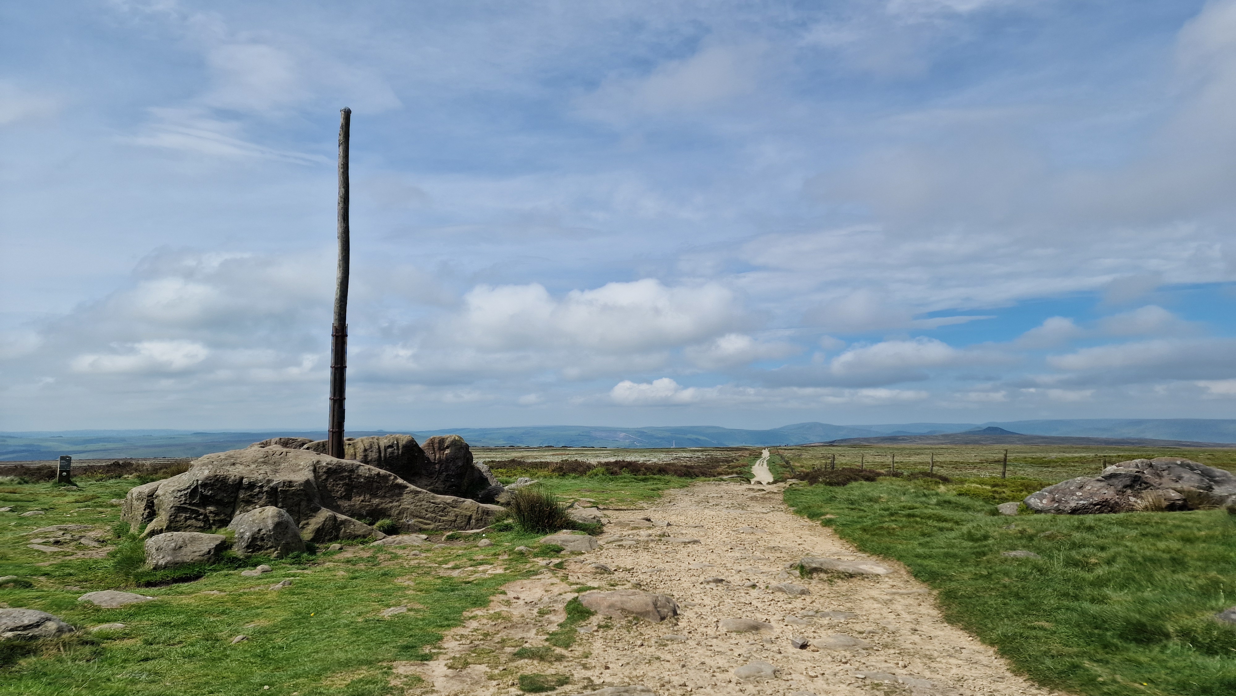
Stanage Pole which overlooks Sheffield.
©gritstoneedge.co.uk
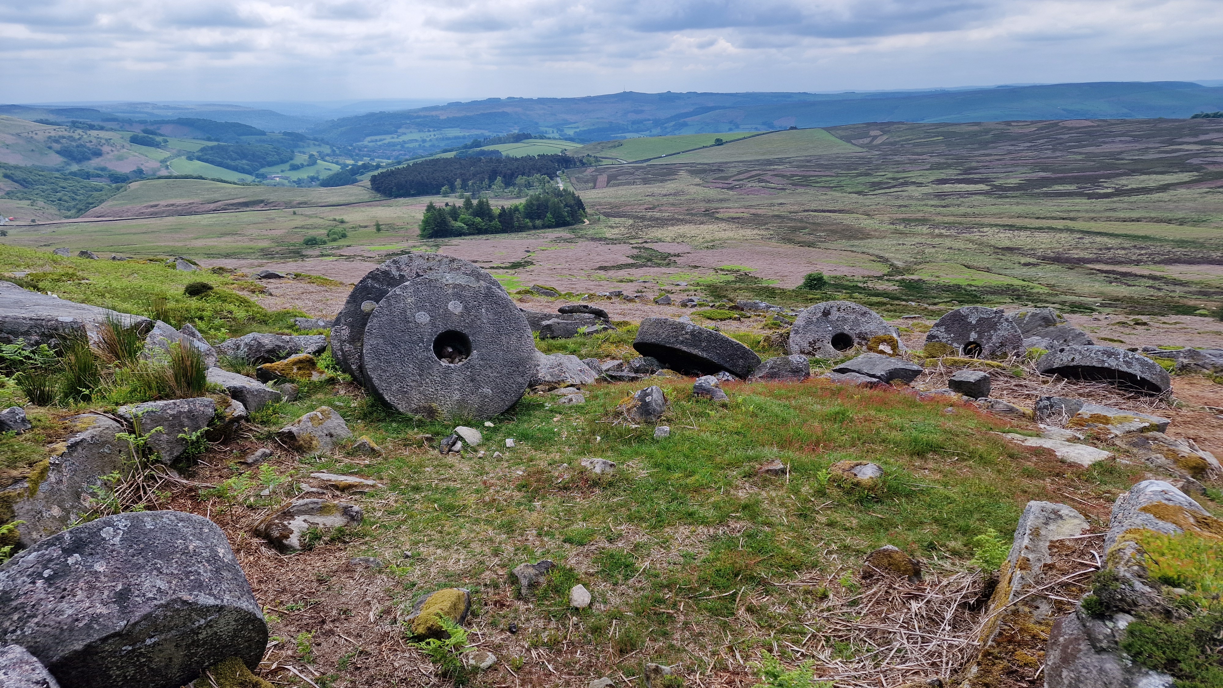
Millstones are a feature of this area of the Peak.
©gritstoneedge.co.uk
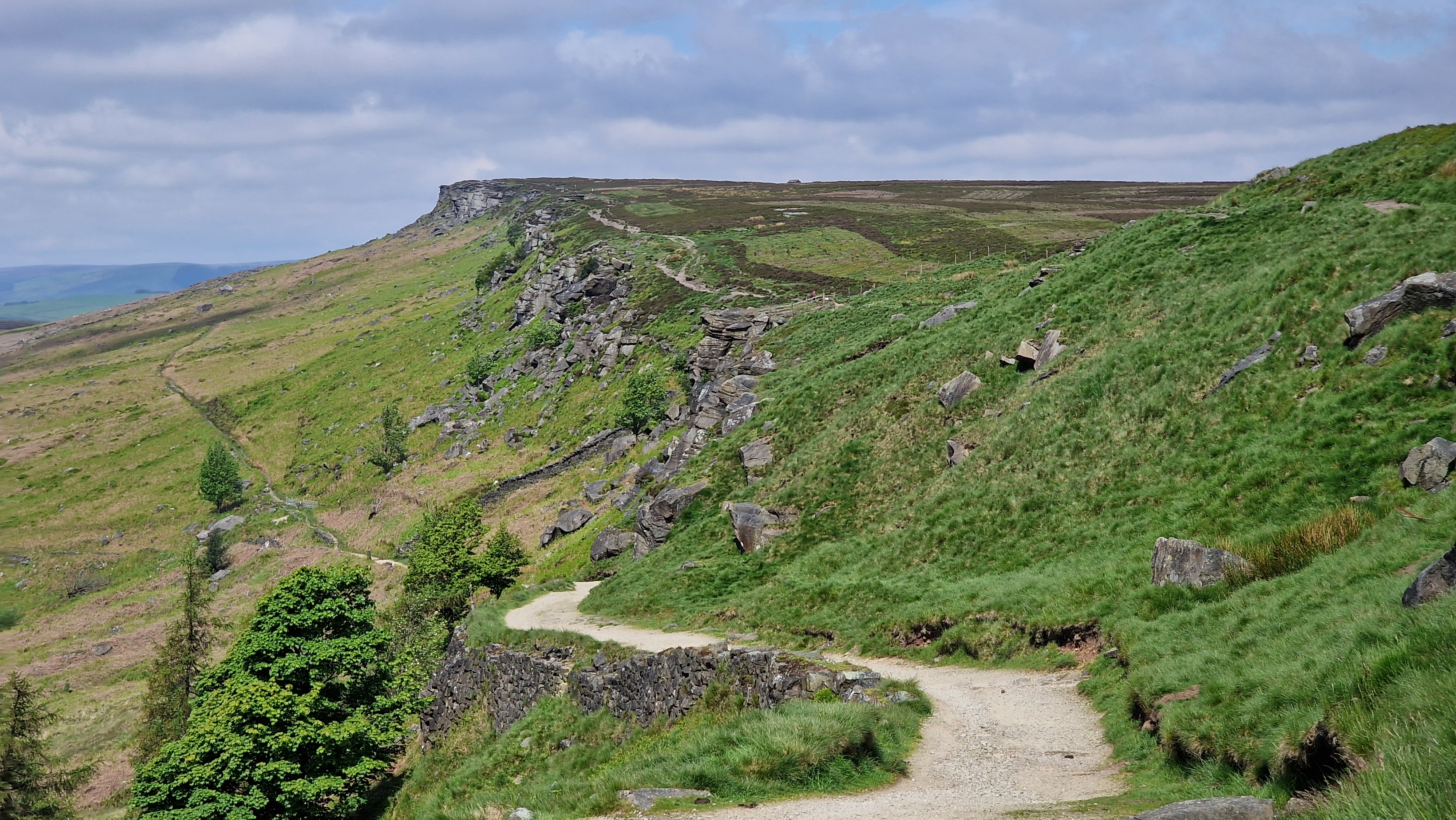
Looking north towards along the sweeping edge.
©gritstoneedge.co.uk
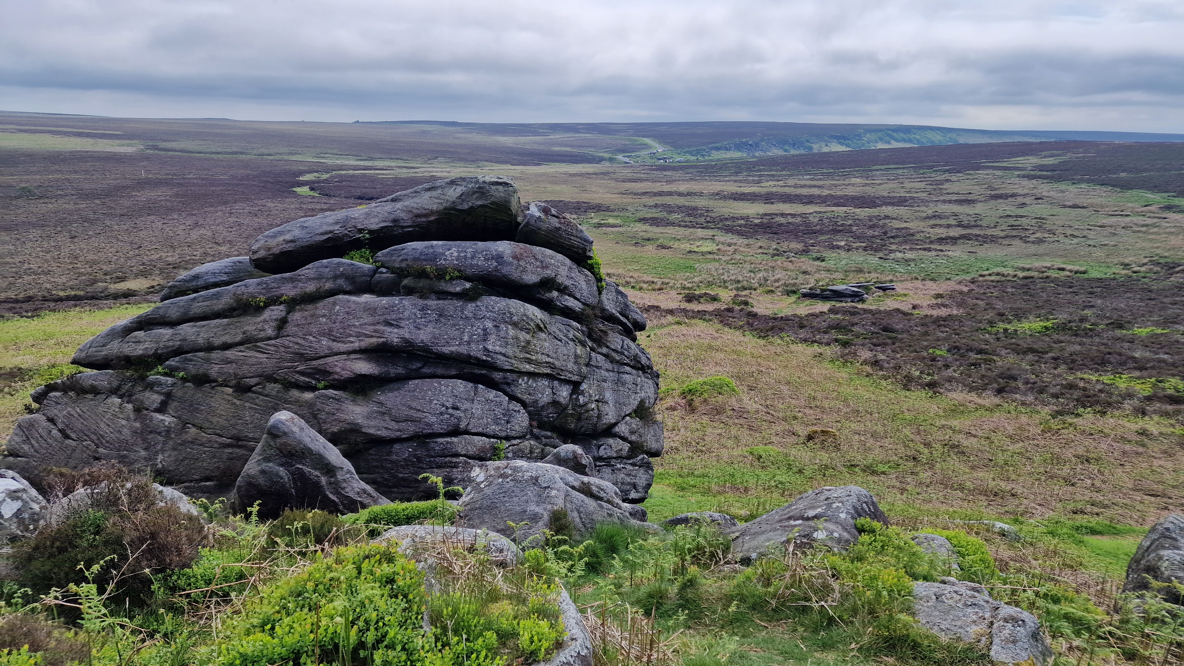
Cowper Stone - southern Stanage.
©gritstoneedge.co.uk
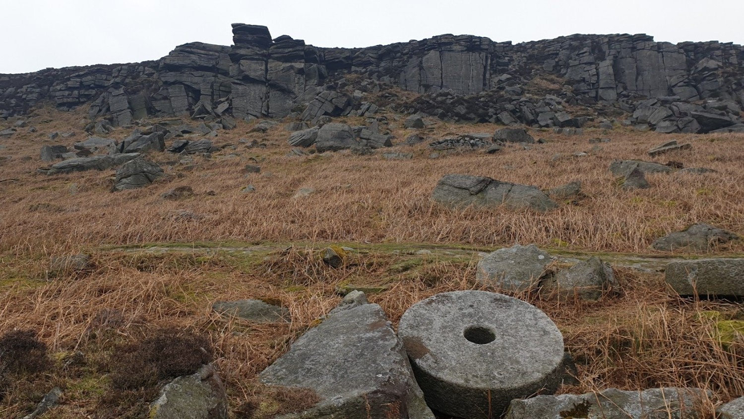
The view of Crow Chin from the path.
©gritstoneedge.co.uk
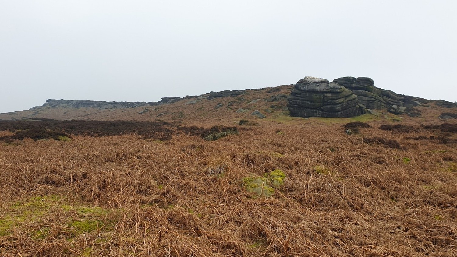
The far south end of Stanage from Burbage bridge.
©gritstoneedge.co.uk
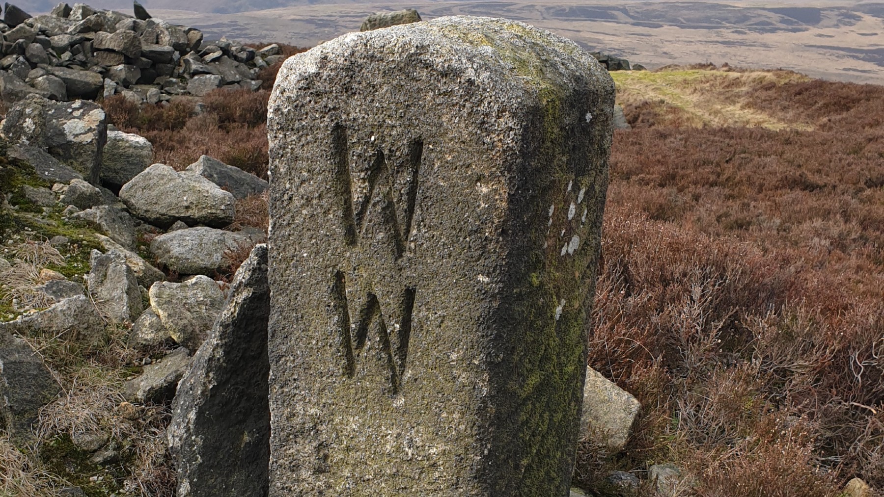
The WW marker stone at Stanage End.
©gritstoneedge.co.uk
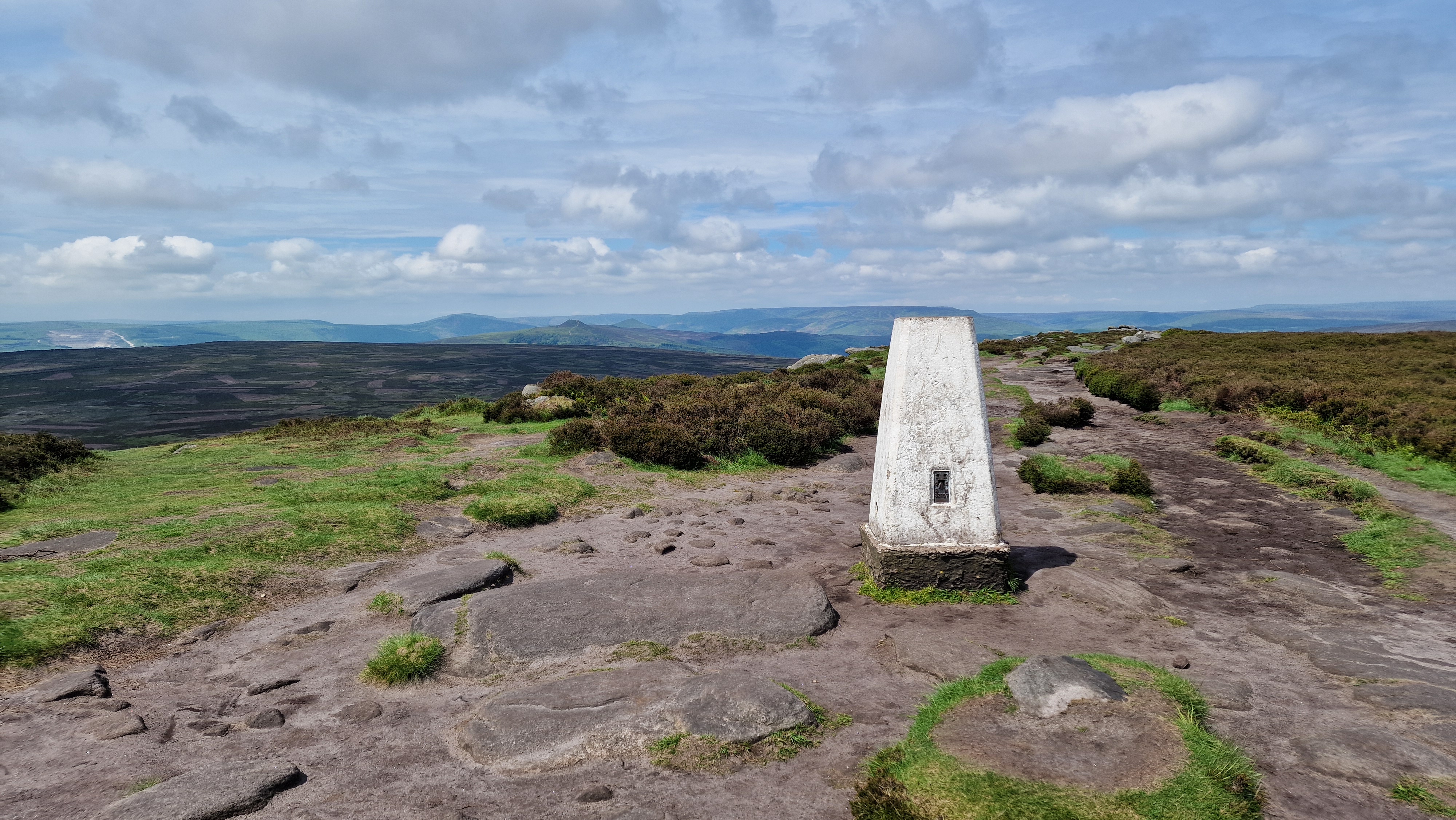
Trig point at High Neb at 458m.
©gritstoneedge.co.uk
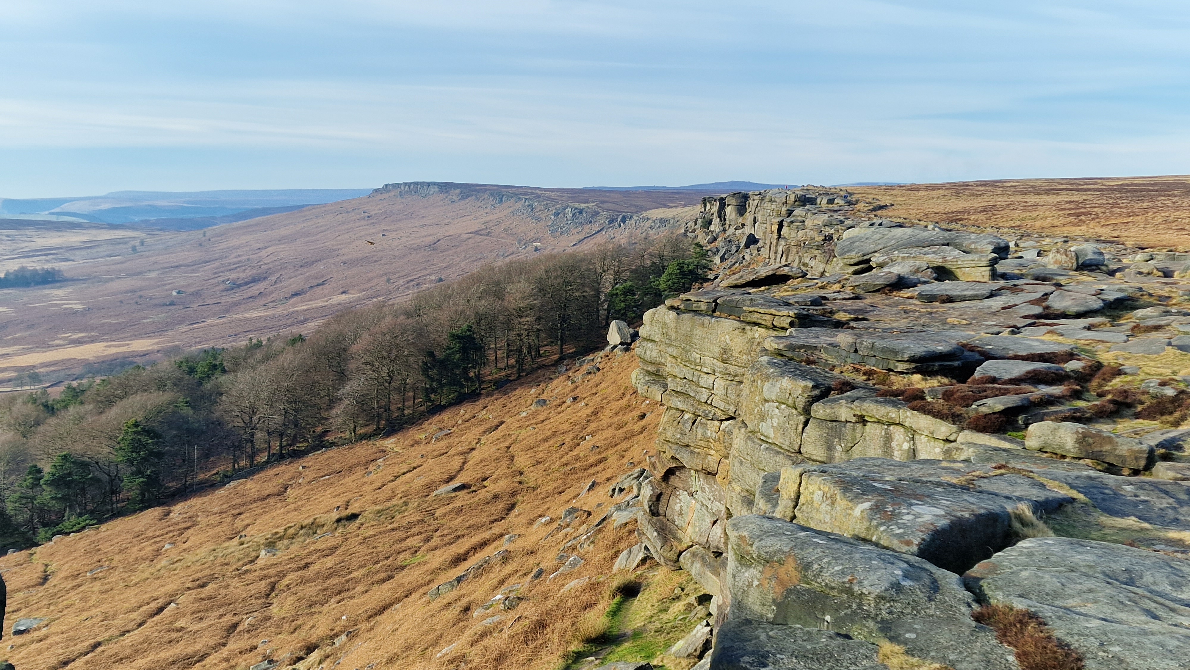
Stanage Edge looking north.
©gritstoneedge.co.uk
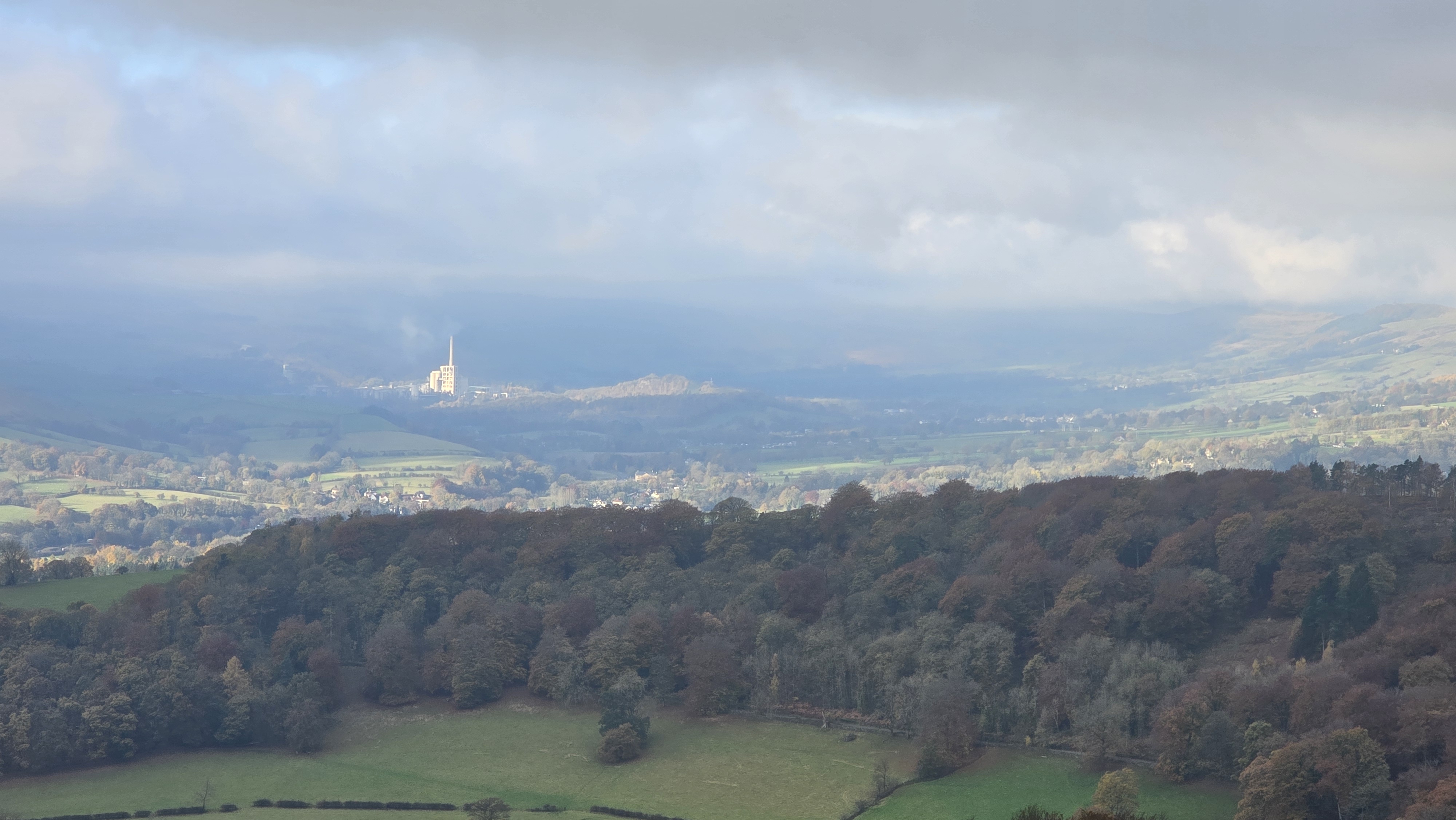
Hope Valley (and factory) from Stanage.
©gritstoneedge.co.uk
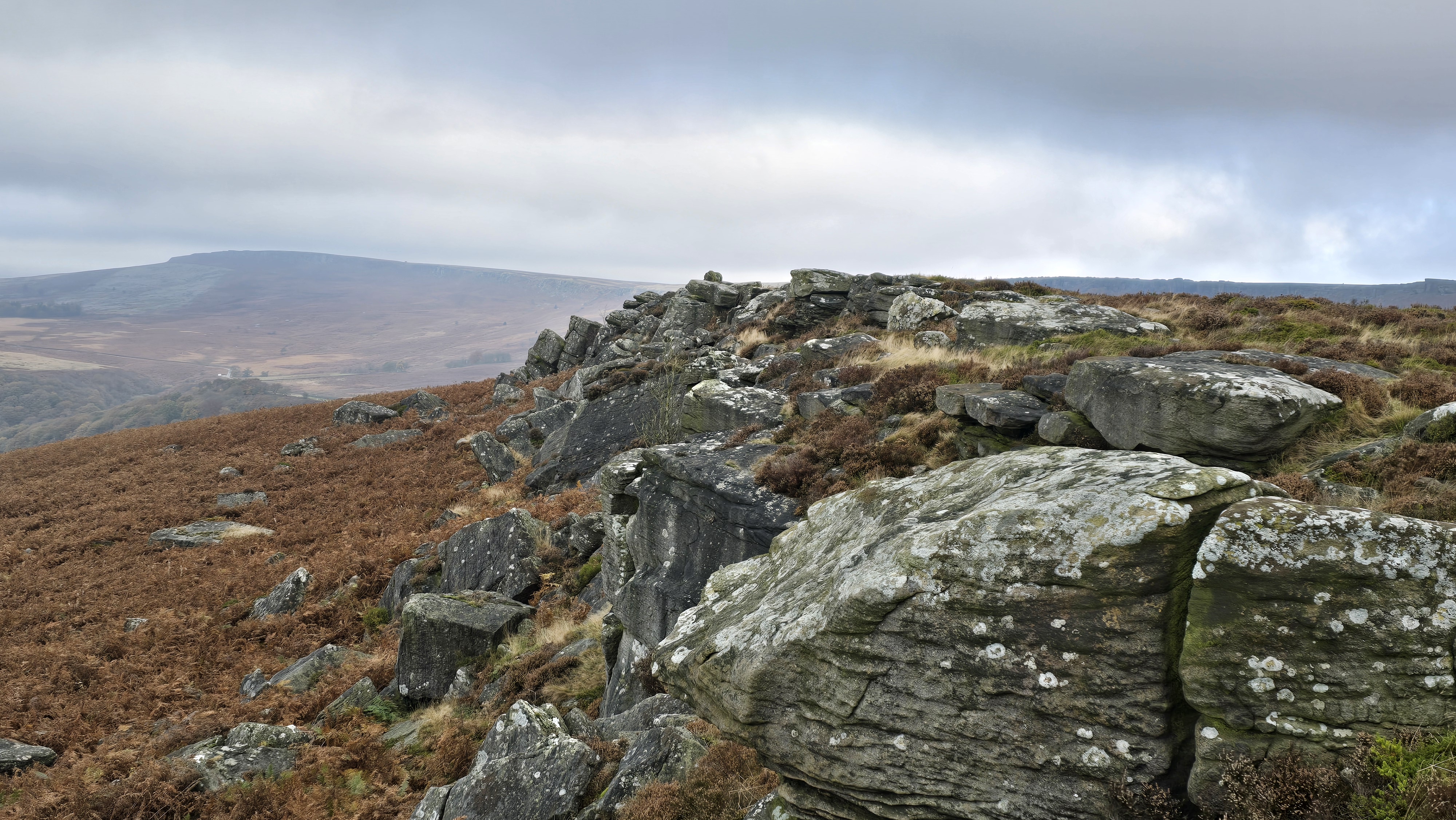
Carhead Rocks and Stanage beyond.
©gritstoneedge.co.uk
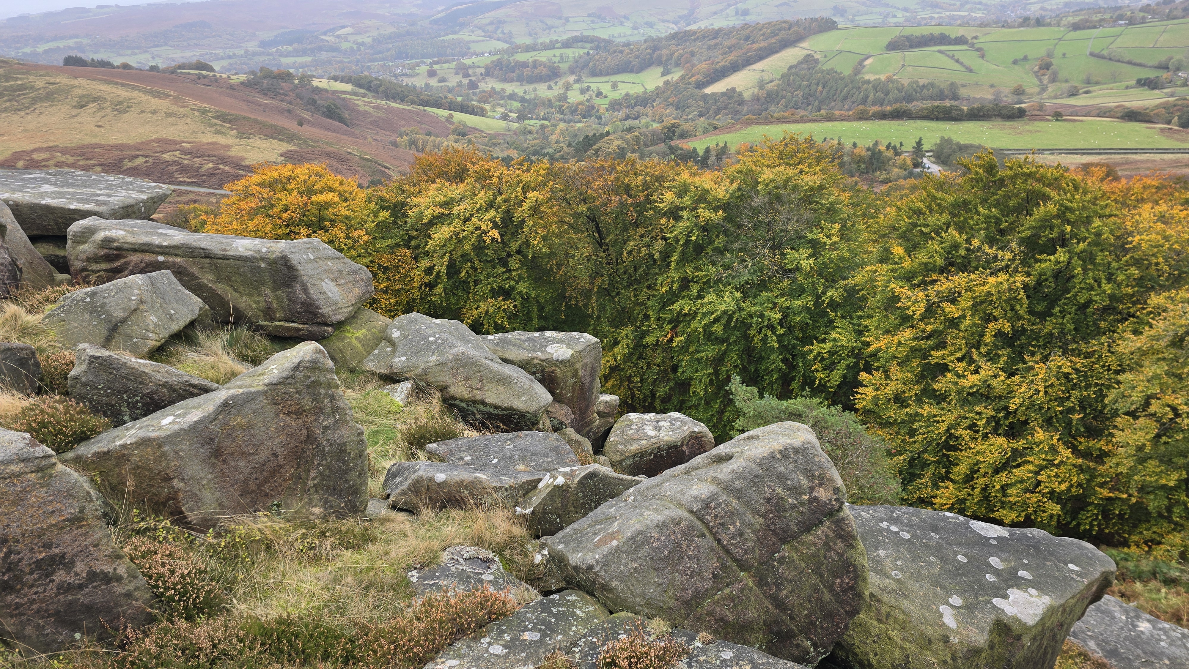
Autumn colours below Stanage.
©gritstoneedge.co.uk
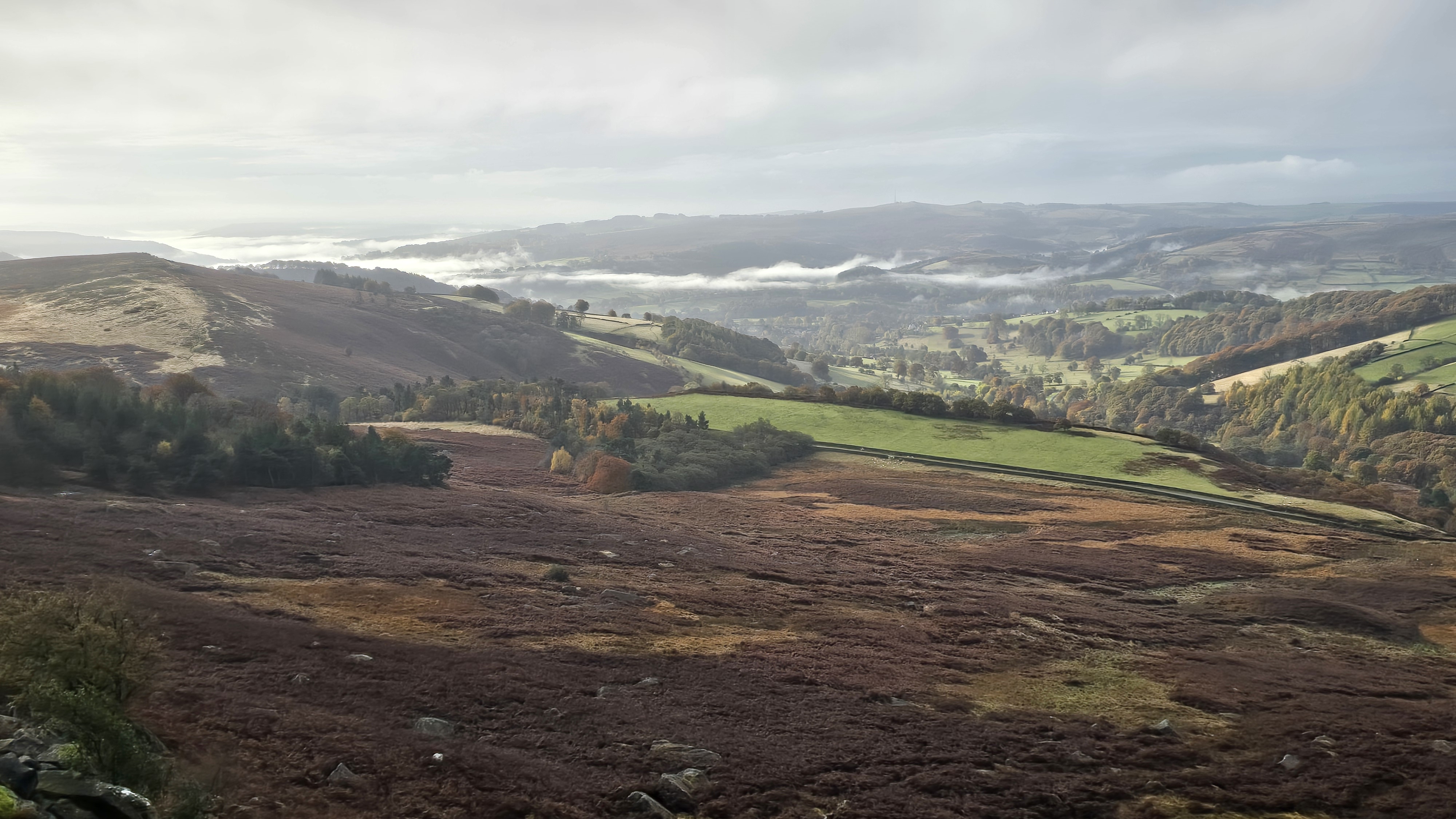
Autumn mist down the valley from Stanage.
©gritstoneedge.co.uk
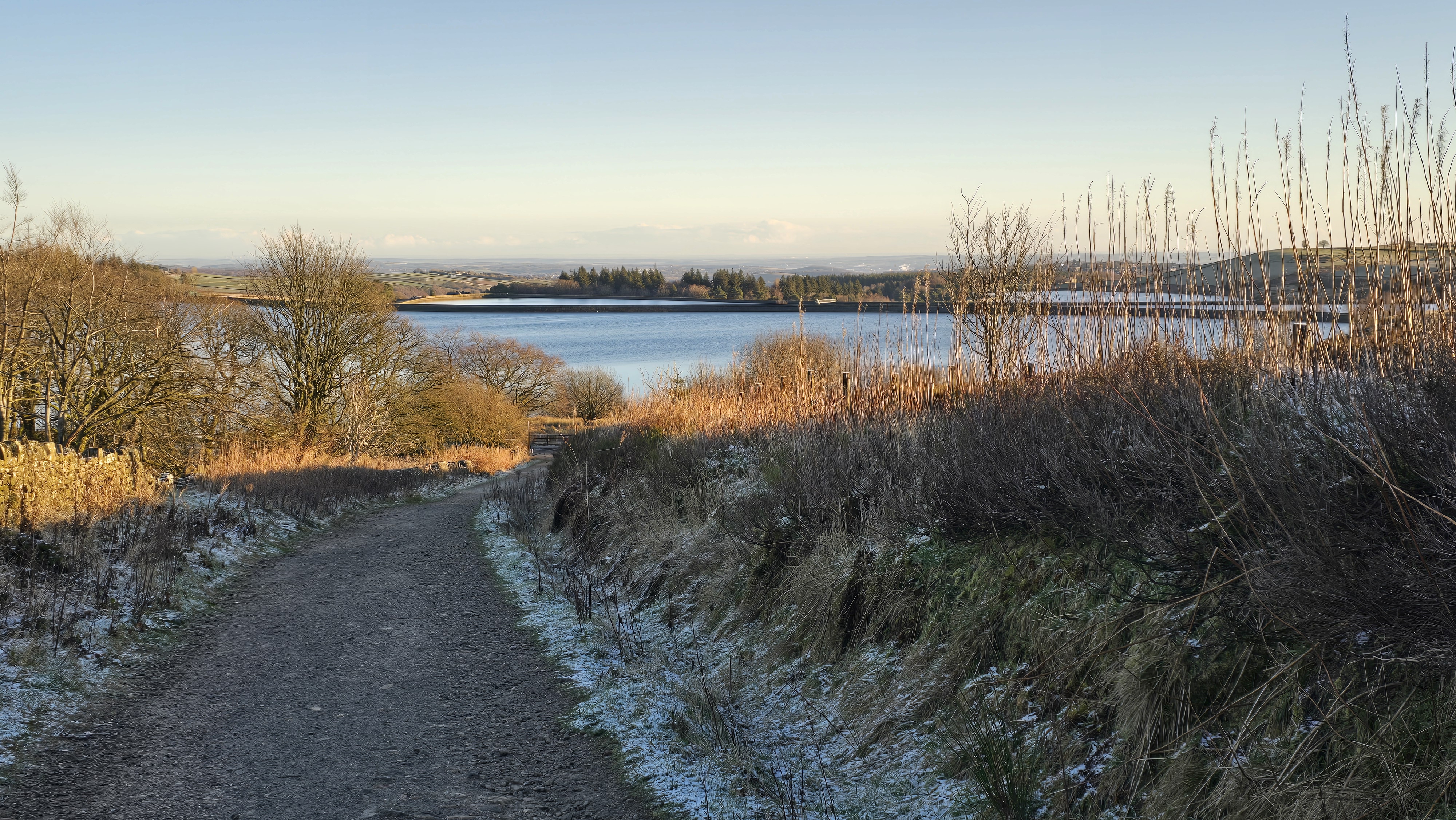
Looking back over Redmires to Sheffield.
©gritstoneedge.co.uk
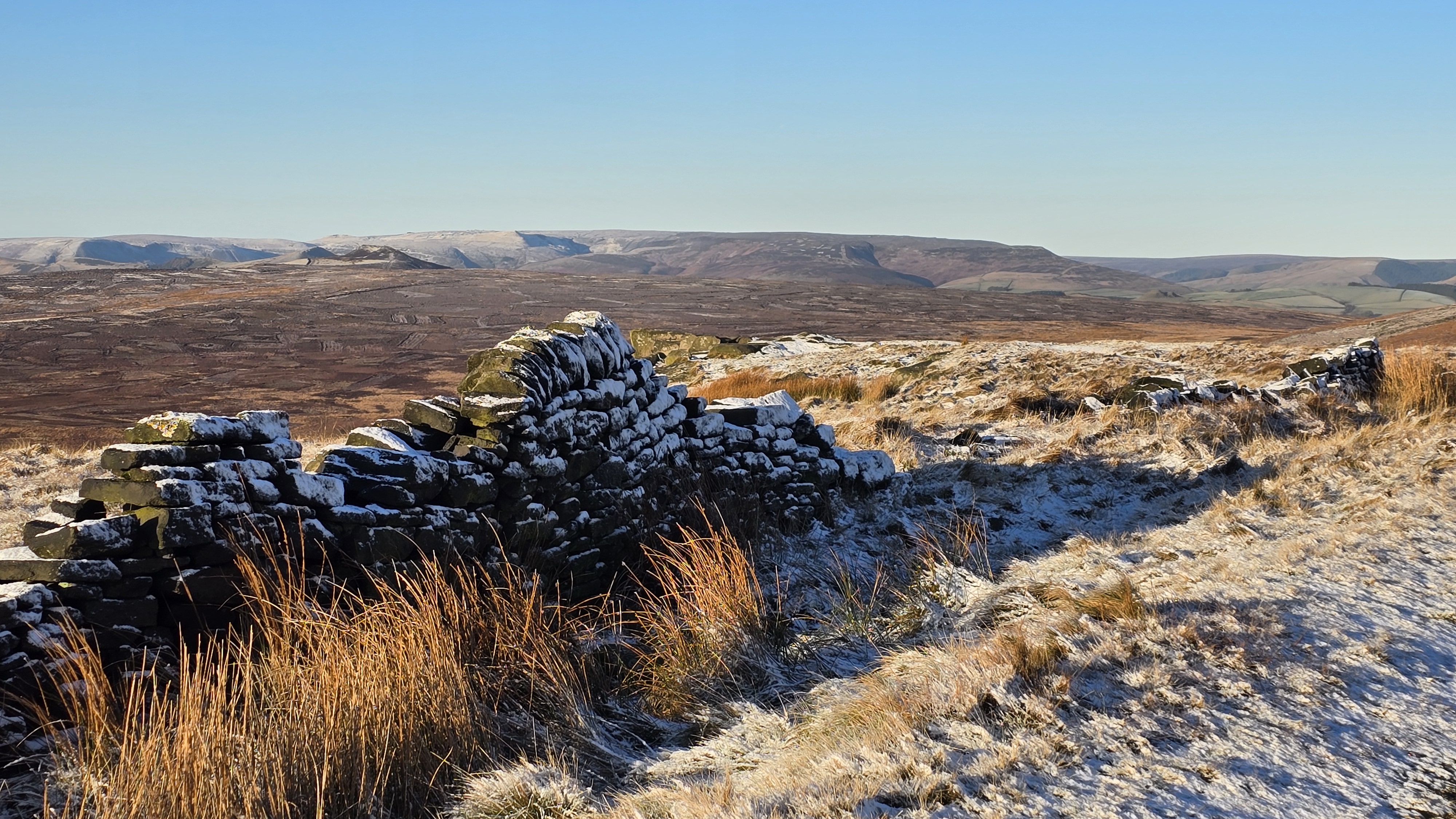
Over to Kinder with a light dusting of snow.
©gritstoneedge.co.uk
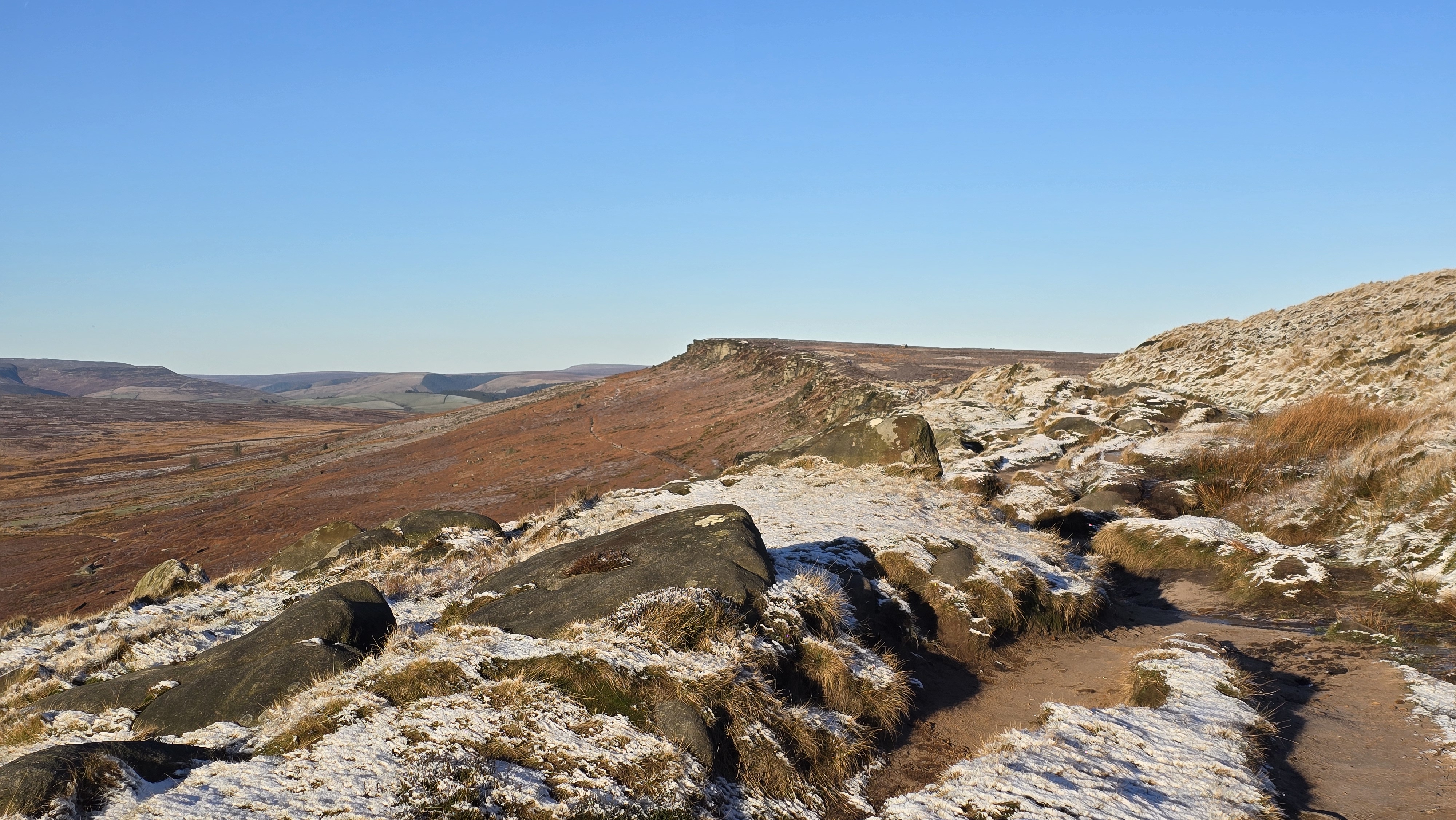
Kinder north with a light dusting of snow.
©gritstoneedge.co.uk
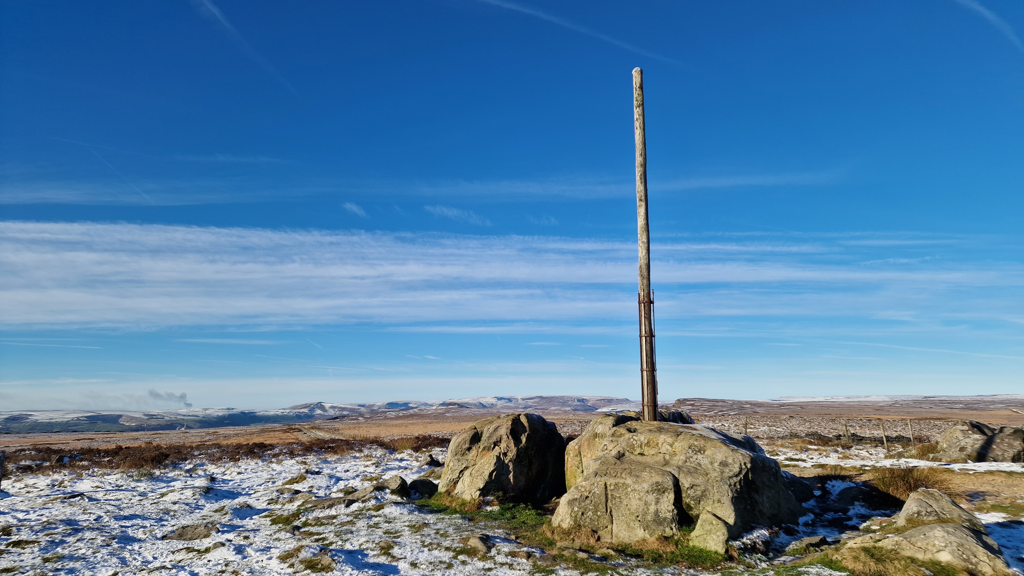
Stanage Pole with a dusting of snow.
©gritstoneedge.co.uk
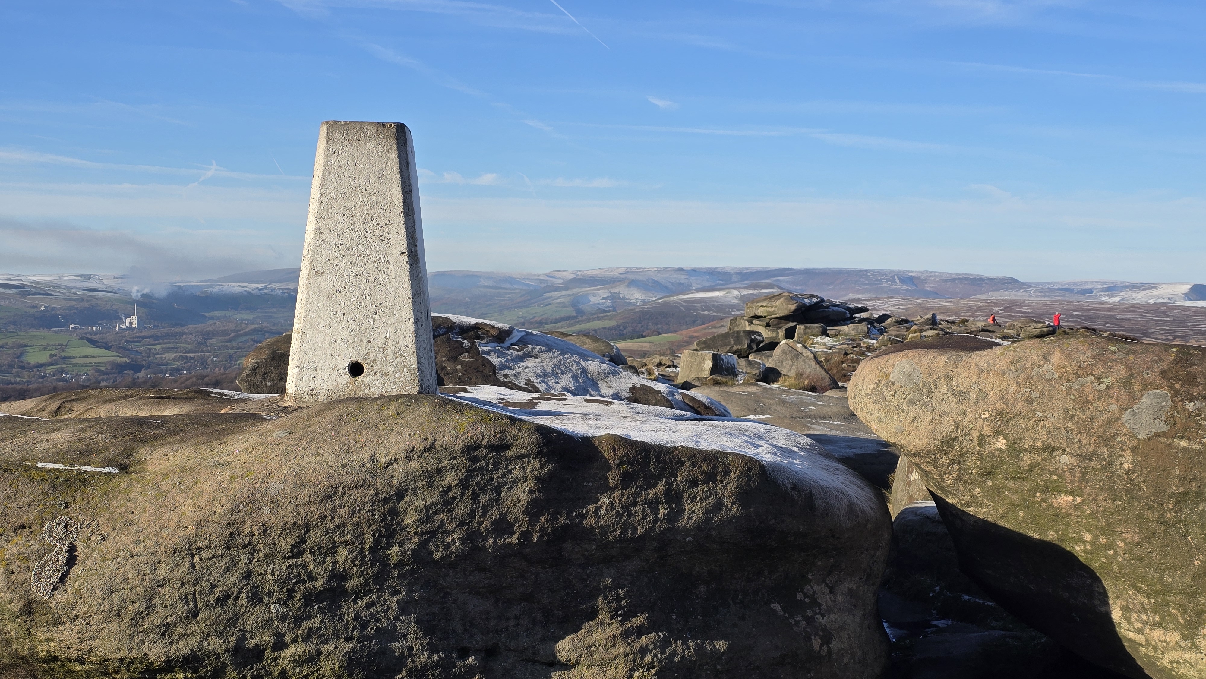
White Path Moss Trig Point with a disting of snow.
©gritstoneedge.co.uk
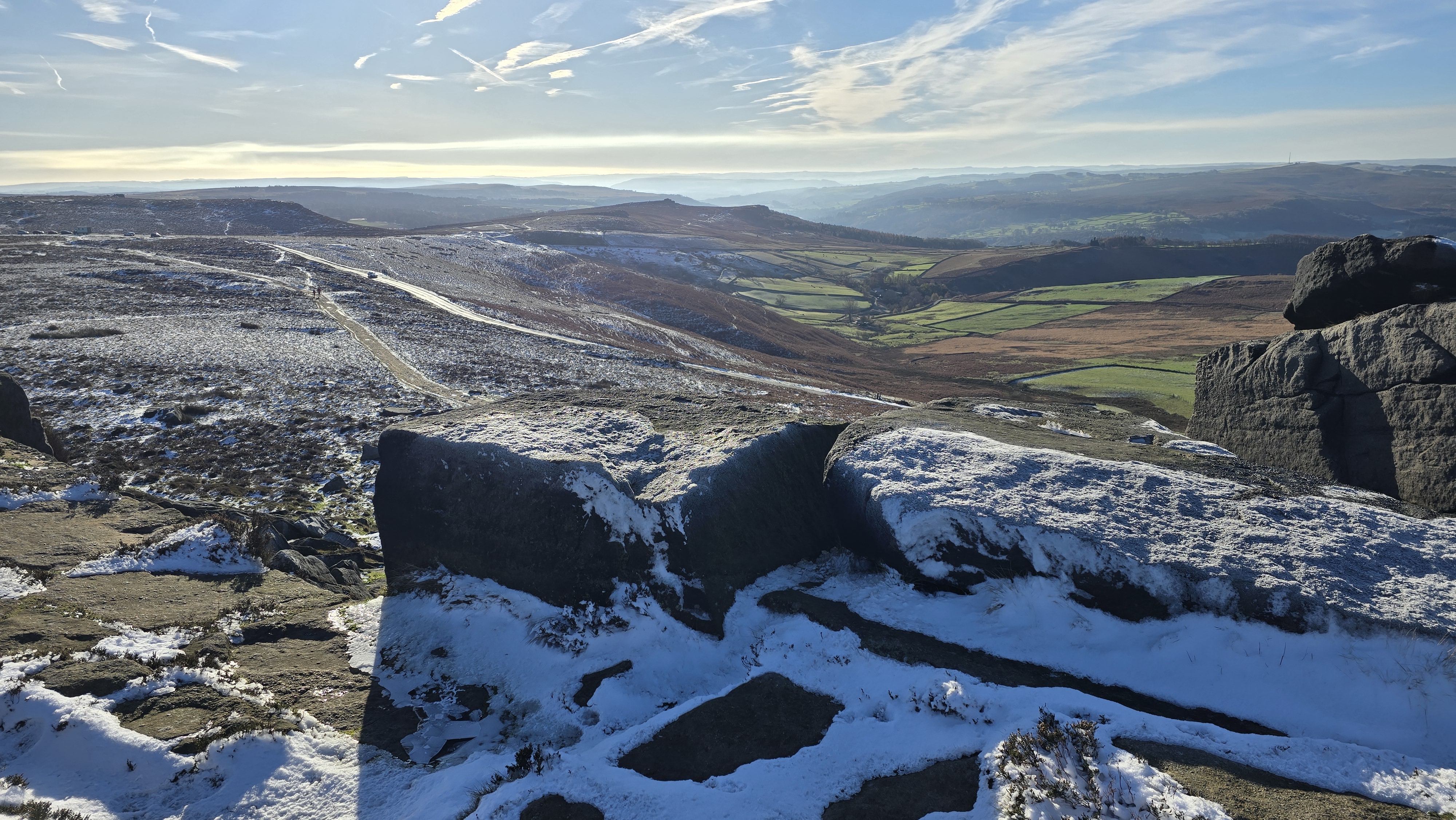
Looking into the sun and south down Stanage.
©gritstoneedge.co.uk
From the parking, follow the thin path that climbs over the lower slopes below the edge, to then reach the top of Stanage Edge. Turn right, south, and along the top of the edge by the good path to reach the south Stanage Trig Point, named White Path Moss trig point. The trig point is set on top of some significant gritstone boulders that require some clambering to get to the trig point. On a good day, there are excellent views north along the edge as well as over to the Hope Valley. For the full Stanage Experience, continue south and then east to reach Cowper Stone, which marks the southern end of Stanage Edge. The views here are down Burbage Valley and further down south towards Chatsworth. (1.5kms. 100m. 0hrs. 40min.)
Return the way you have come to get back to White Path Moss trig point. From here, look north and see the great wide vista that is Stanage Edge. This is where the route takes us, along the top of this magnificent edge. Leaving the trig point, follow the path north along the top of the edge. Keep an eye out for the magnificent views west along the Hope Valley, east over Broomhead Moor and indeed north along the edge. At SK242841, there is a promontory made famous from Pride and Prejudice, where Kiera Knightly looked out over the view, worth doing the same to get a good view down to HAthersage and the Hope Valley. At about 2km. the Long Causeway coming from Redmires Reservoirs is visible. The large pole, Stanage Pole is clearly visible over to the east. Go through the wall at the broken stile and fence, then immediately take the small path that leads to the Long Causeway. Then follow this track to reach Stanage Pole. The view east here is of Redmires Reservoirs, the western suburbs of Sheffield then over to Sheffield itself and much of South Yorkshire (and beyond). Return by the Long Causeway, and once this starts to descend, follow the surprisingly narrow path to climb up to the height of Stanage Edge. Follow the path on top of the cliffs to the high point of Stanage Edge at High Neb trig point. (4.5kms. 50m. 1hrs. 30min.)
The route now continues along the path on top of the edge. The edge is less popular in this area; there are fewer walkers and climbers on this northern section of the edge. Even on a busy day, the north end of Stanage is a quiet and tranquil place. Follow the top of the edge until the rock becomes less distinct over Stanage End. Eventually, a wall is reached where the top path meets the lower path. Here are the remnants of an old quarry. Look out for a distinct marker stone with WW and WM carved on it. This indicates the boundary between shooting estates. This is the time to turn around and maybe have a coffee, looking west over the northern moors of the Peak District. (2.5kms. 20m. 0hrs. 50min.)
The first phase of the return is along the paths at the bottom of the crags. Walk down a few meters to meet the path along the bottom of the crags. Turn left and follow the narrow and sometimes confusing path along the bottom of the edge. If the wind was in your face, it is now at your back; the sun is likely to be straight ahead, giving a different aspect to the edge. There are several paths along the bottom of the crags, and there are a few wet areas to negotiate. It matters not which you take. But towards the Long Causeway, there is one definite path to follow. Cross the final fence by the gate and walk up Long Causeway to the top of the edge. (3.5kms. 40m. 1hrs. 10min.)
From Long Causeway the return is by the outward route. From the top of the edge at Long Causeway, walk south on the path, then through the wall by the broken fence and stile. Follow the path along the top of the crags to reach the uphill path just before the White Path Moss trig point is reached. Now take this path back to the Hooks Car parking. (2.0kms. 20m. 0hrs. 40min.)


About gritsoneedge.co.uk:
This site includes many walking routes over the Peak District including the Eastern Edges, Kinder and Bleaklow. There are some great days to be had when walking in this area in all seasons. Safe to say we have experienced some really terific conditions as well as some wild days. Each provides an experience not to be missed.
The aim of this site is to provide a "modern" guidebook, a mobile phone friendly online guide. View this site on your mobile phone. Take this with you when walking and you will be able to follow the routes. However do not rely on this; mobile phone reception is not ubiquitous throughout the Peaks. Make sure you take a map and compass and the ability to us them as well.





Disclaimer :This site has links to many adventures in the outdoors, walking or cycling in hills and moors, within the UK. These can be dangerous activities. Conditions can change rapidly in the outdoors. The information and links provided on this site is given in good faith. gritstoneedge.co.uk cannot be held responsible for any loss or injury caused by encouraging you into the outdoors of by the accuracy of the information provided on this site.
© gritstoneedge.co.uk all rights reserved 2015-2026