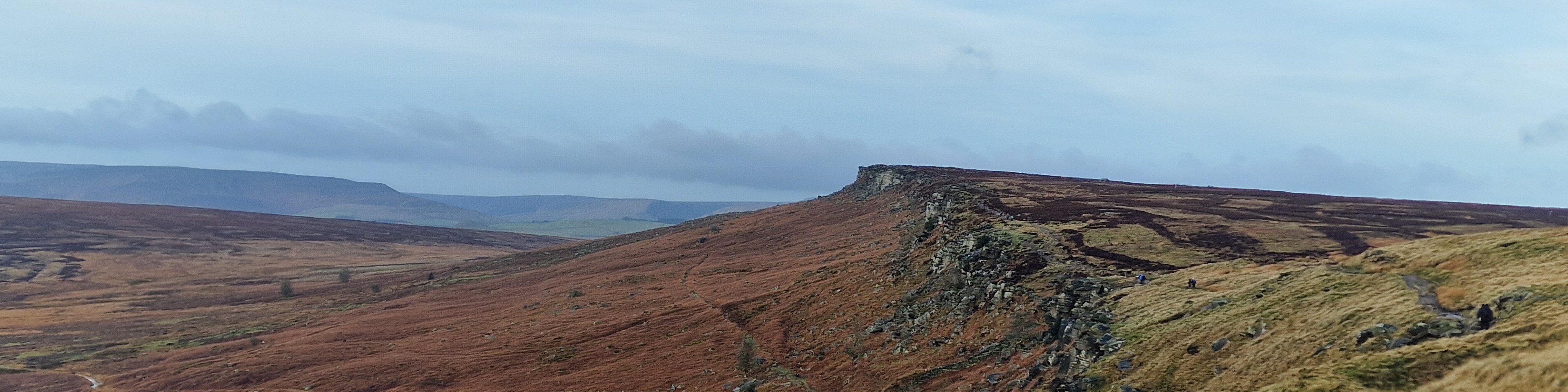
| Hill Summit : | Mam Tor[SK127836, 517m.] |
| Hill Summit : | Lose Hill[SK153853, 476m.] |
| Start : | Castleton Car Park The main car park in Castleton.[SK149830 200m ] |
| Summary : | Mam Tor - Losehill Farm - Lose Hill - Back Tor - Mam Tor - Cave Dale - Castleton |
| distance : | 11.5km. |
| ascent : | 400m. |
| time : | 4hr. 10min. |
The Great Ridge, which encompasses Lose Hill, Back Tor, and Mam Tor, forms a prominent landmark overlooking the western portion of the Hope Valley. This route ascends the ridge along its eastern boundary, navigating the Castleton skyline toward Mam Tor. From there, the route descends into limestone countryside, continuing through open fields and down Cave Dale before returning to Castleton.
Edale
Current Weather
Last Updated today at : 22:50:57
| Overall : | clear sky |
| Temperature : | 9degC. |
| Wind Speed : | 16km/hr. |
| Wind Direction : | E |
| Clouds : | clear sky |
| Precipitation : | none |
| Sunrise : | 06:03:05 |
| Sunset : | 17:52:48 |
| : | Times are GMT add 1 hour for BST |
Data from openweathermap.org
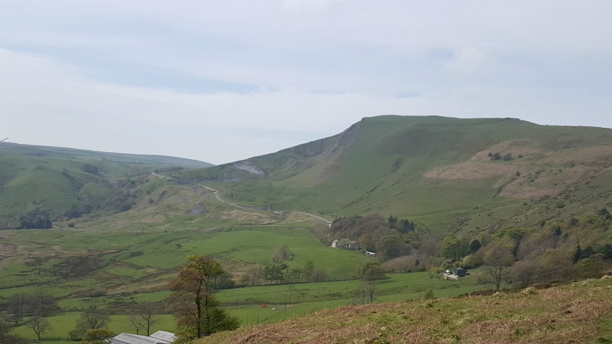
Mam Tor from Castleton Valley.
©gritstoneedge.co.uk
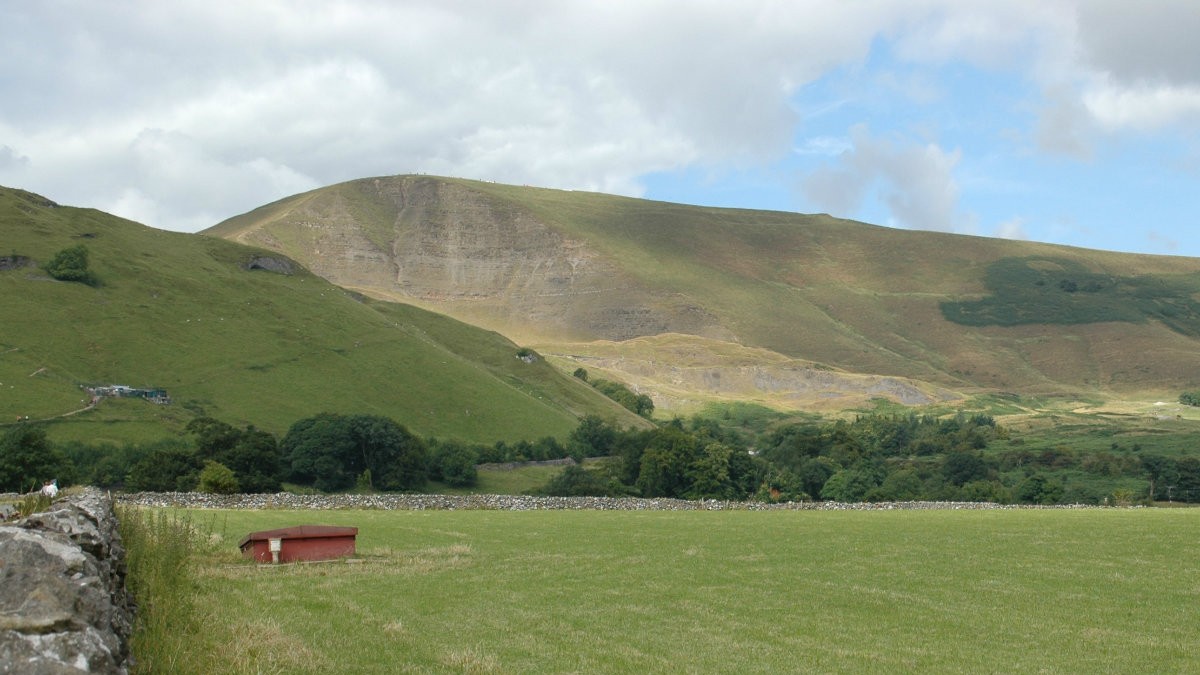
Mam Tor from Castleton Valley road.
©gritstoneedge.co.uk
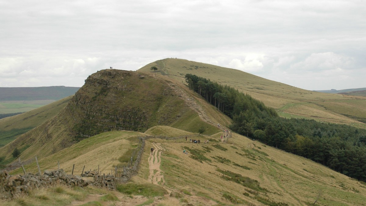
Looking back to Back Tor and Lose Hill.
©gritstoneedge.co.uk
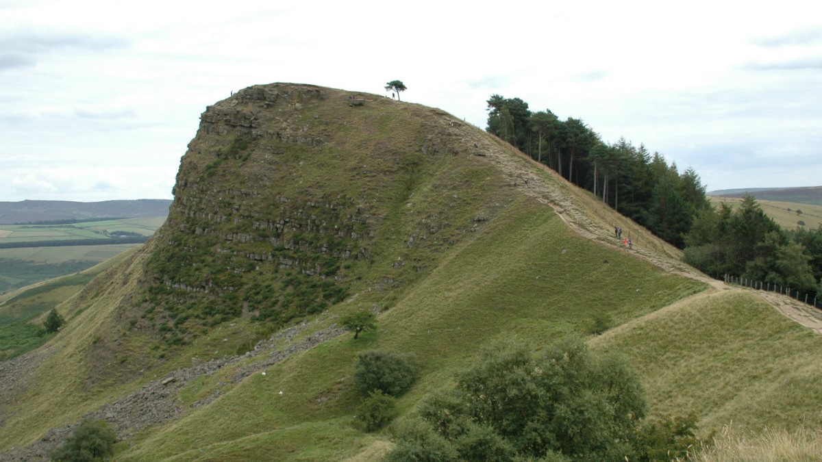
Back Tor.
©gritstoneedge.co.uk
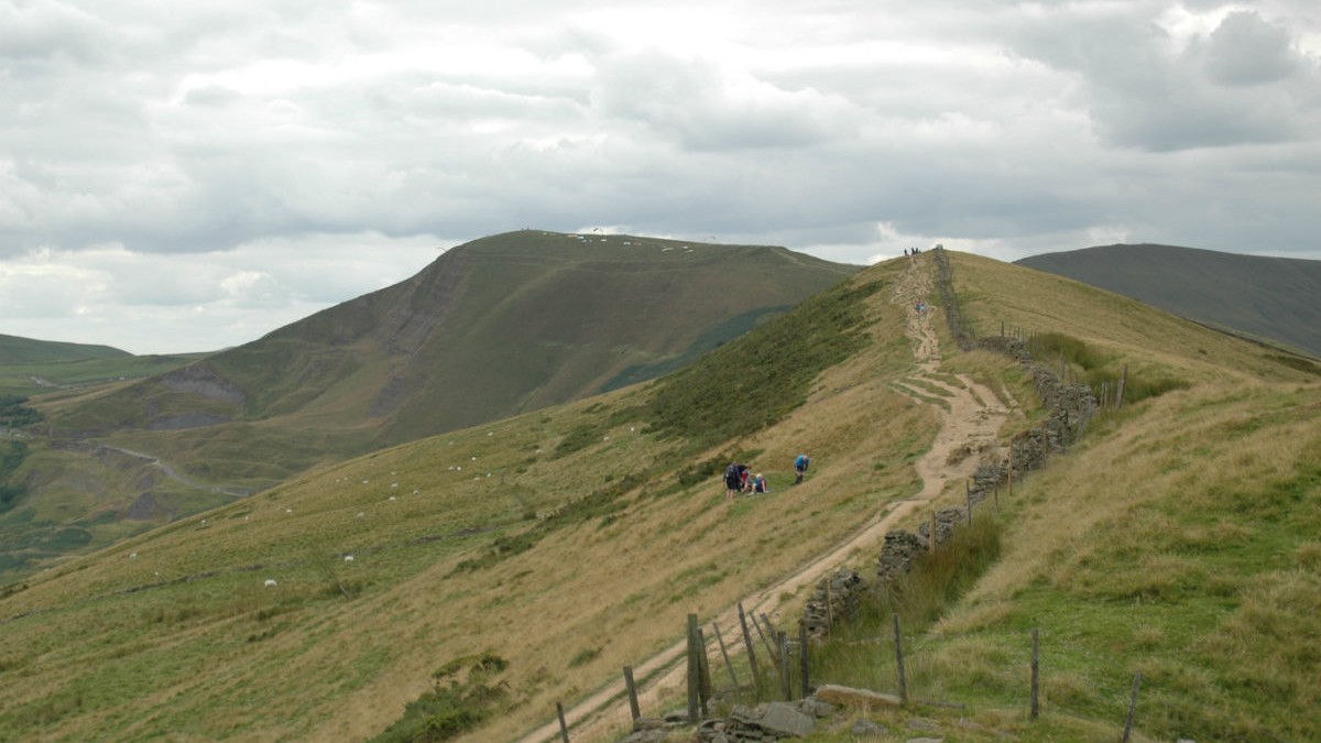
Towards Mam Tor.
©gritstoneedge.co.uk
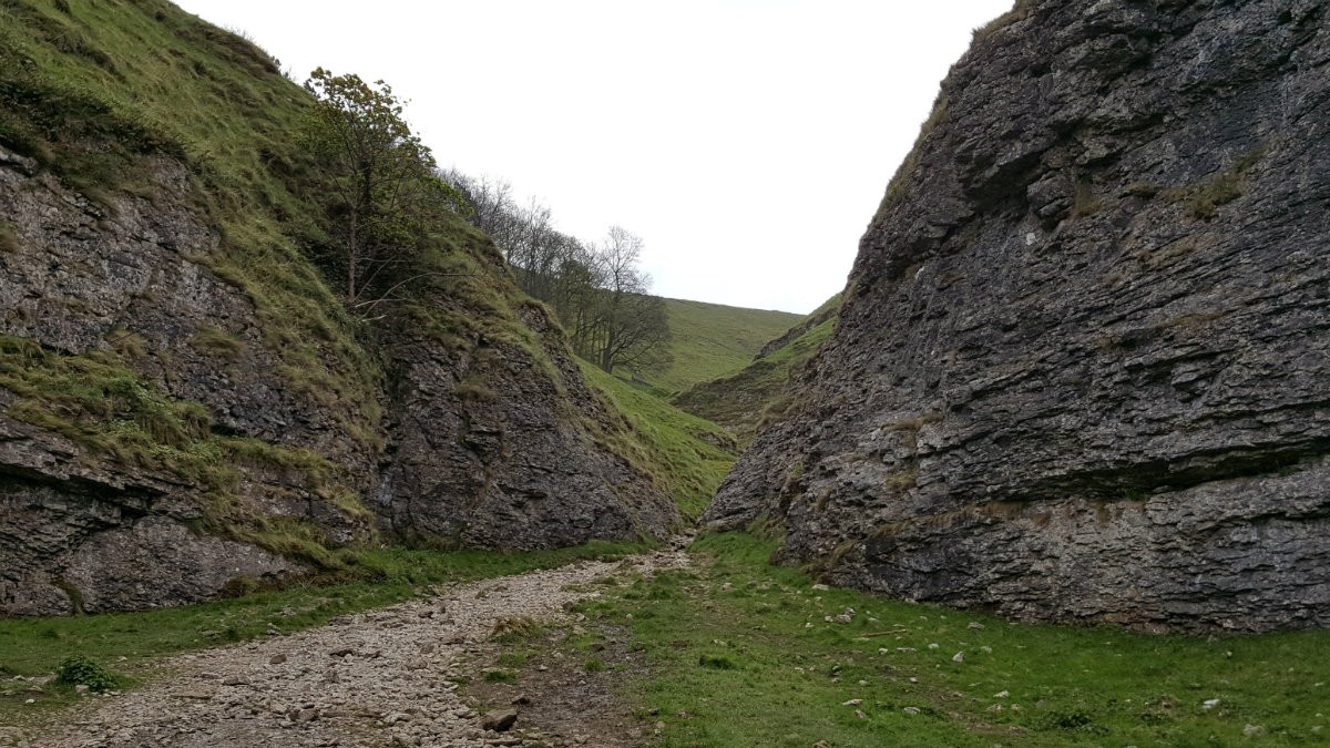
Looking up Cave Dale.
©gritstoneedge.co.uk
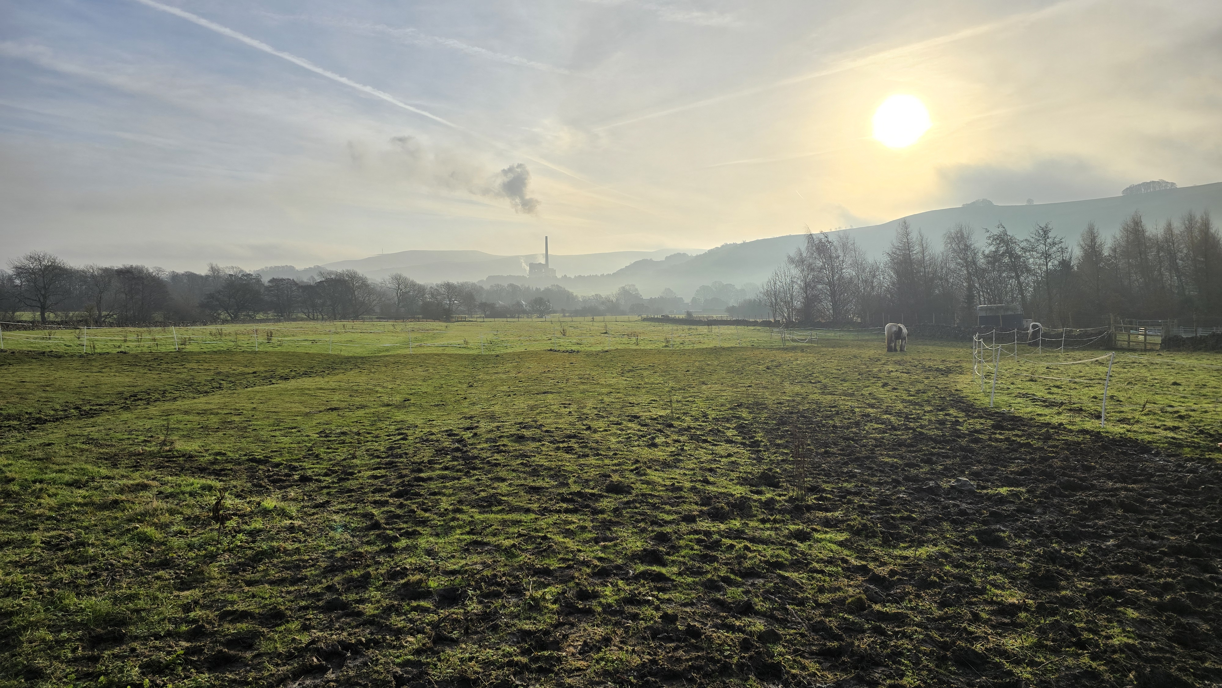
Misty morning in the valley.
©gritstoneedge.co.uk
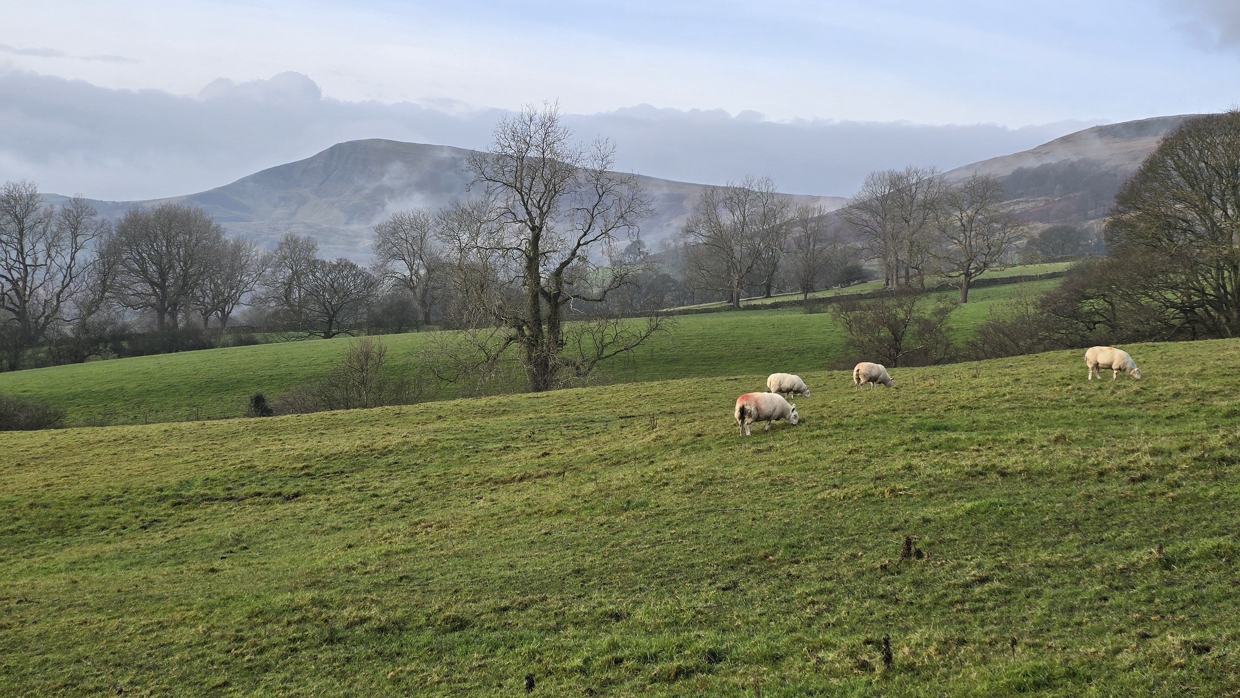
Cloud inversion around Mam Tor
©gritstoneedge.co.uk
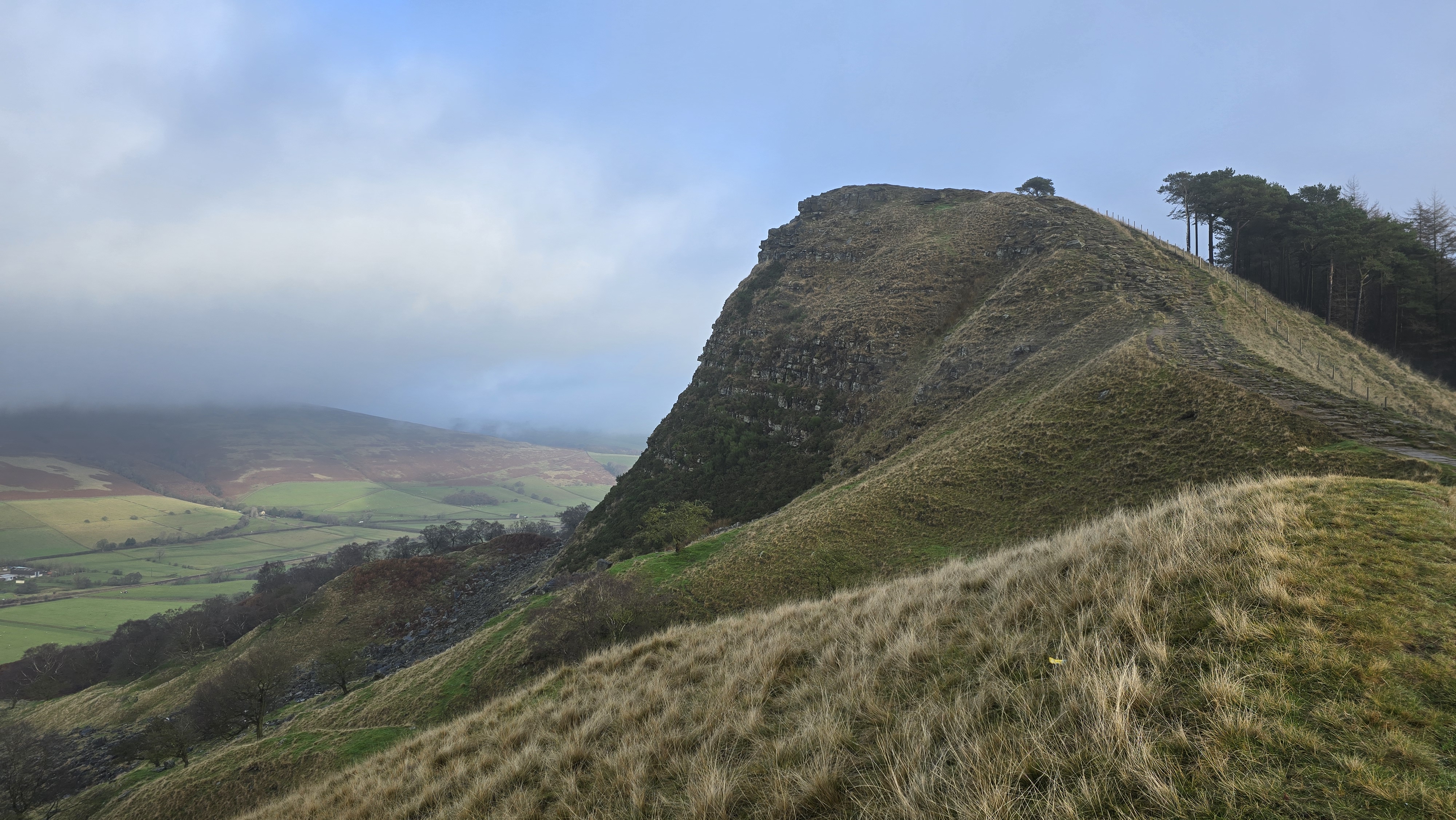
Back Tor
©gritstoneedge.co.uk
Mam Tor Trig - with a view
©gritstoneedge.co.uk
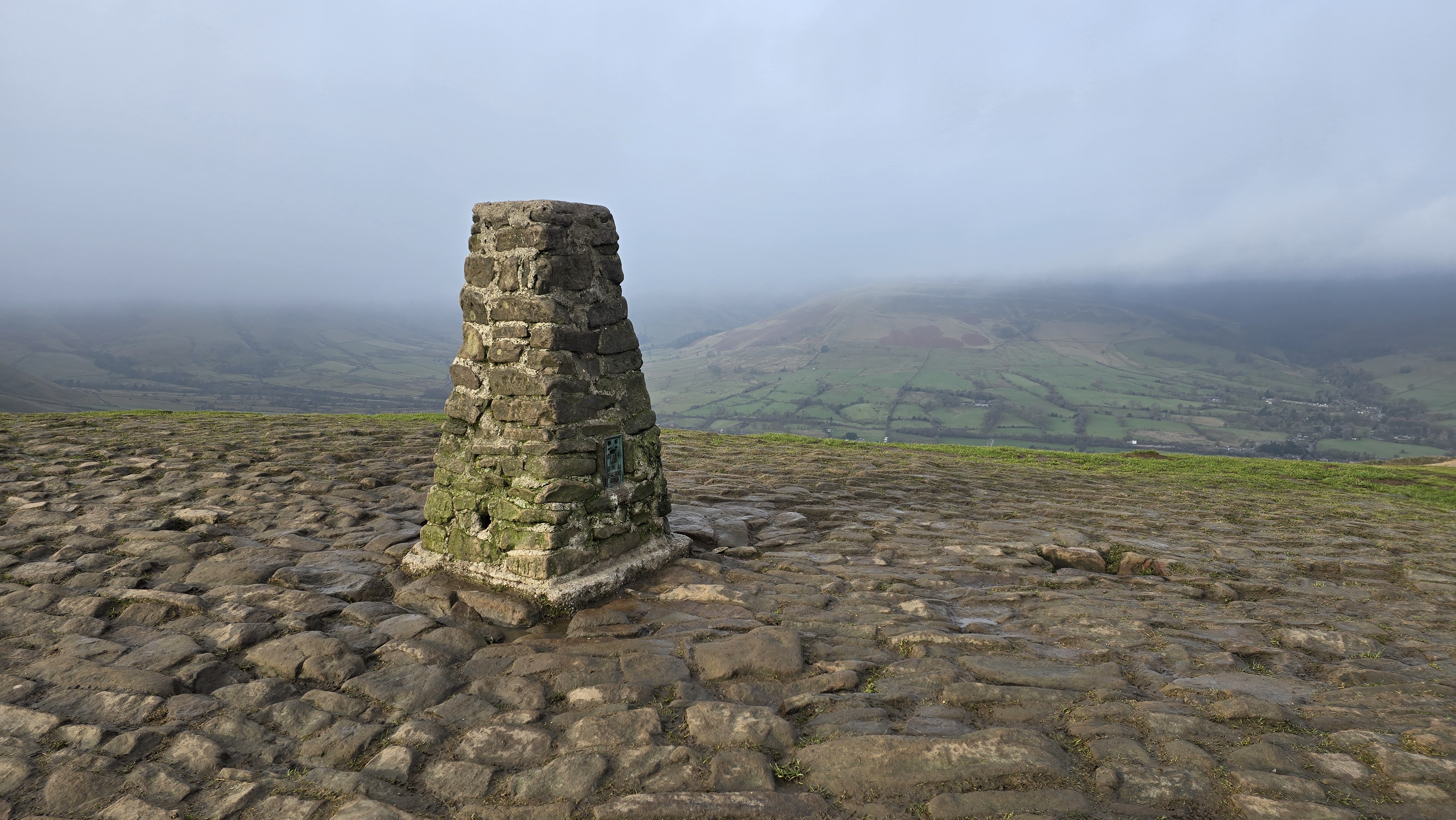
Mam Tor Trig - no people!
©gritstoneedge.co.uk
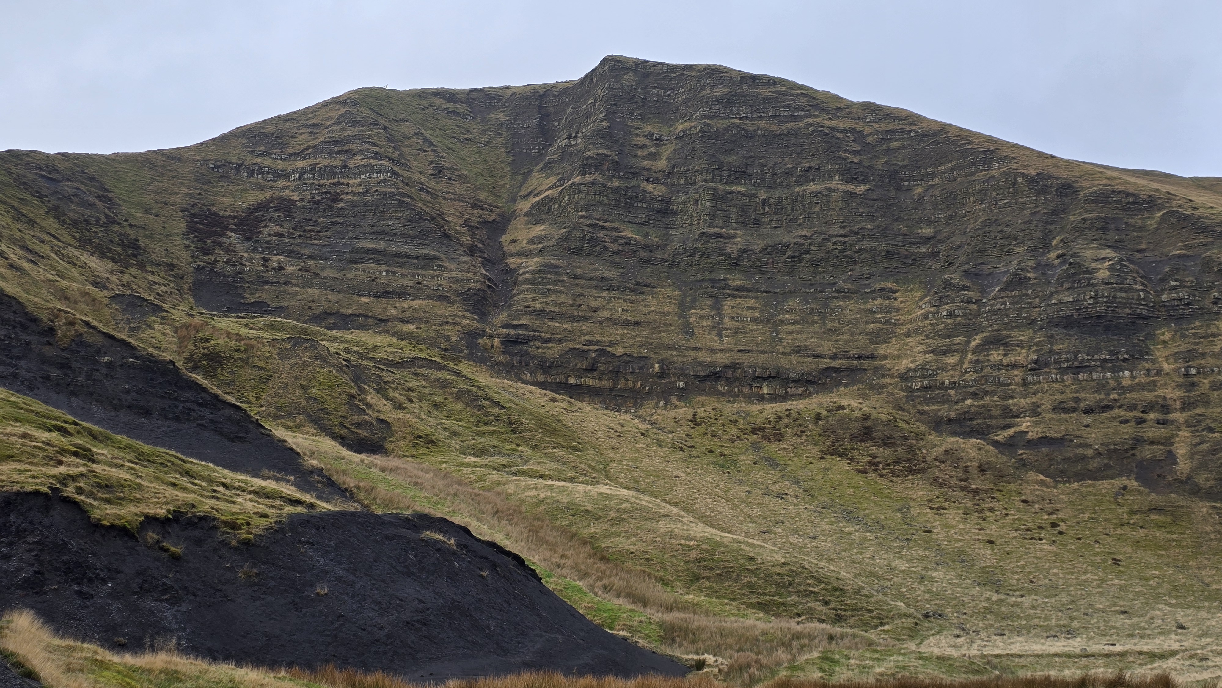
Mam Tor - the face
©gritstoneedge.co.uk
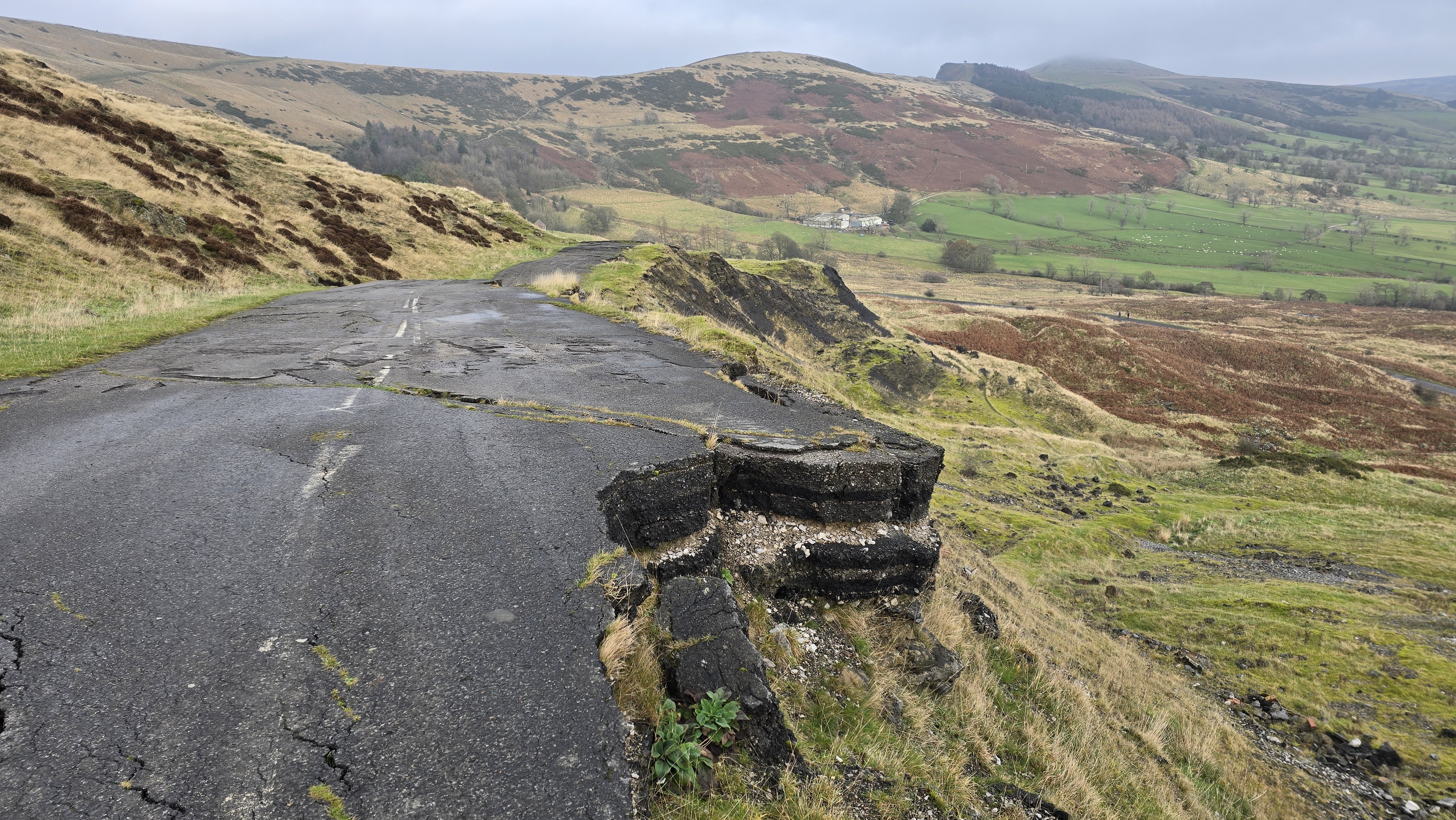
Broken Road on Mam Tors.
©gritstoneedge.co.uk
Begin at Castleton, following the path adjacent to the stream near the main car park. Proceed along the stream and past a small residential street until reaching the main road. Turn left onto Hollowford Road to exit the village, and continue until reaching the track on the right by the Training Centre. Follow this track past the Environmental Centre to the signposted footpath. Continue along the path, navigating through the gates and turns, until reaching the area just below Losehill Farm. Here, take the signposted path to the left that ascends the hill. After passing through the final gates, you will arrive at the summit of Lose Hill (Ward's Piece). (3kms. 300m. 1hrs. 30min.)
Traverse the full expanse of the Great Ridge, where the summit of Lose Hill offers panoramic views of the route ahead along a well-defined, wide footpath. Descend Lose Hill and ascend Back Tor, taking a moment upon reaching Hollins Cross to look back at Back Tor to appreciate its dramatic western face. Hollins Cross serves as the pass connecting Castleton and Edale, marked by a direction dial. Continue along the broad path as it ascends toward the summit of Mam Tor. Marked by its trig point. Mam Tor is one of the most prominent and frequently visited locations in the Peak District. (3.5kms. 100m. 1hrs. 20min.)
Proceed into the White Peak area by descending Mam Tor along the clearly defined path. Upon reaching the road, turn left, pass through the gate, and continue down through the field to meet the Winnats Pass road. Cross the road and go through the gate onto the track leading toward Rowter Farm. Follow this well-maintained track to the crossroads (Grid Ref: SK135813). Turn left (east) to join the Limestone Way heading toward Cave Dale. Follow the path across the fields before descending into Cave Dale, noting that the valley narrows significantly in several places and features notable limestone rock formations along its walls. Pass through the gate at the base of the dale to re-enter Castleton, then follow the village streets back to the car park. (5kms. 0m. 1hrs. 30min.)
Gemini [AI] has been used to improve the text in this description.
About gritsoneedge.co.uk:
This site includes many walking routes over the Peak District including the Eastern Edges, Kinder and Bleaklow. There are some great days to be had when walking in this area in all seasons. Safe to say we have experienced some really terific conditions as well as some wild days. Each provides an experience not to be missed.
The aim of this site is to provide a "modern" guidebook, a mobile phone friendly online guide. View this site on your mobile phone. Take this with you when walking and you will be able to follow the routes. However do not rely on this; mobile phone reception is not ubiquitous throughout the Peaks. Make sure you take a map and compass and the ability to us them as well.





Disclaimer :This site has links to many adventures in the outdoors, walking or cycling in hills and moors, within the UK. These can be dangerous activities. Conditions can change rapidly in the outdoors. The information and links provided on this site is given in good faith. gritstoneedge.co.uk cannot be held responsible for any loss or injury caused by encouraging you into the outdoors of by the accuracy of the information provided on this site.
© gritstoneedge.co.uk all rights reserved 2015-2026