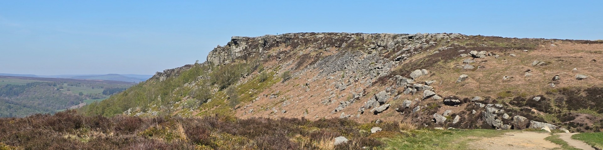
| Start : | Fairholms Fairholms Parking (Paid).[SK173894 210m ] |
| Summary : | Fairholms - Lockerbrook Farm - Lockerbrook Heights - Rowlee Pasture - Birchen Hat (Overlooking Alport Castles) - Ditch Clough - Howden Reservoir (@westend) - Fairholms |
| distance : | 12.5km. |
| ascent : | 300m. |
| time : | 4hr. 20min. |
Alport Castles are interesting and prominent rock structures. The rock is standard gritstone but has an unstable look, not dissimilar to Mam Tor. The castles look like they are a consequence of a large land slide many millions of years ago. The best approach is from the top rather than ascending from the valley. This route comes from the Derwent Valley to view Alport Castles from the top keeping well away from the A57.
Bamford
Current Weather
Last Updated today at : 22:51:39
| Overall : | scattered clouds |
| Temperature : | 10degC. |
| Wind Speed : | 11km/hr. |
| Wind Direction : | E |
| Clouds : | scattered clouds |
| Precipitation : | none |
| Sunrise : | 06:02:34 |
| Sunset : | 17:52:18 |
| : | Times are GMT add 1 hour for BST |
Data from openweathermap.org
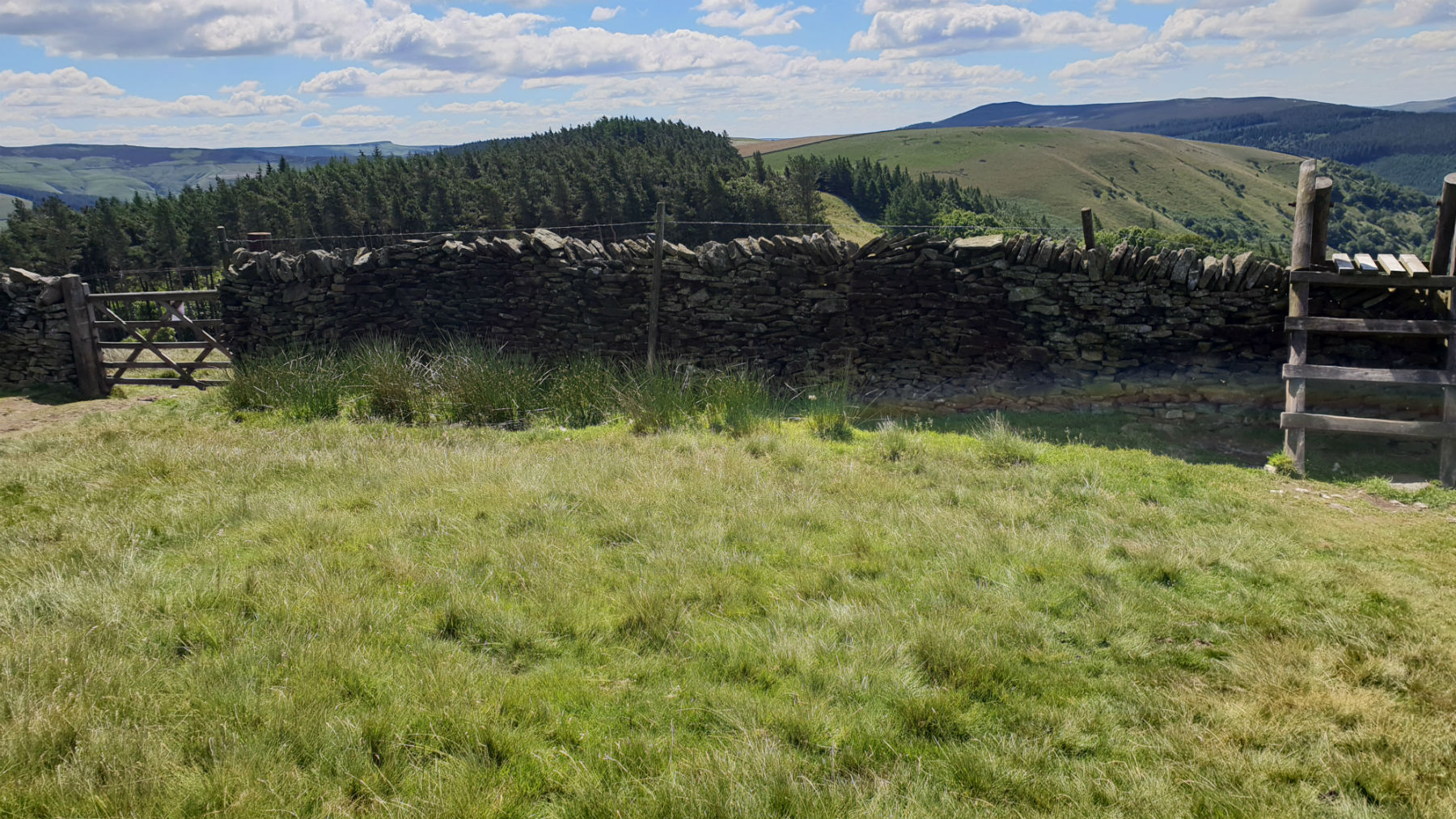
On the way up to the ridge.
©gritstoneedge.co.uk
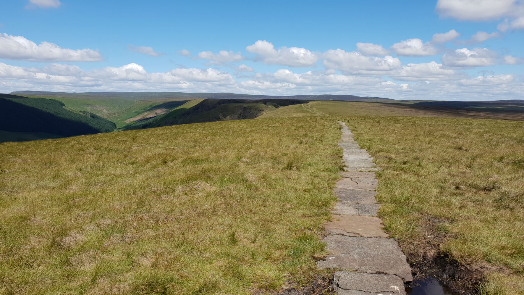
Path to Alport Castles.
©gritstoneedge.co.uk
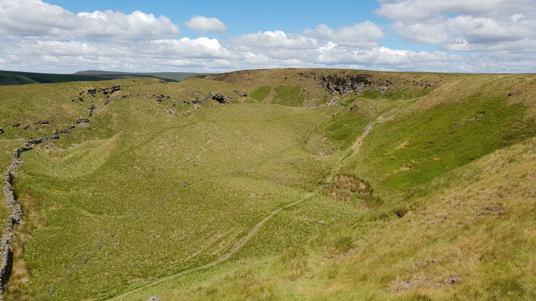
Alport Castles.
©gritstoneedge.co.uk
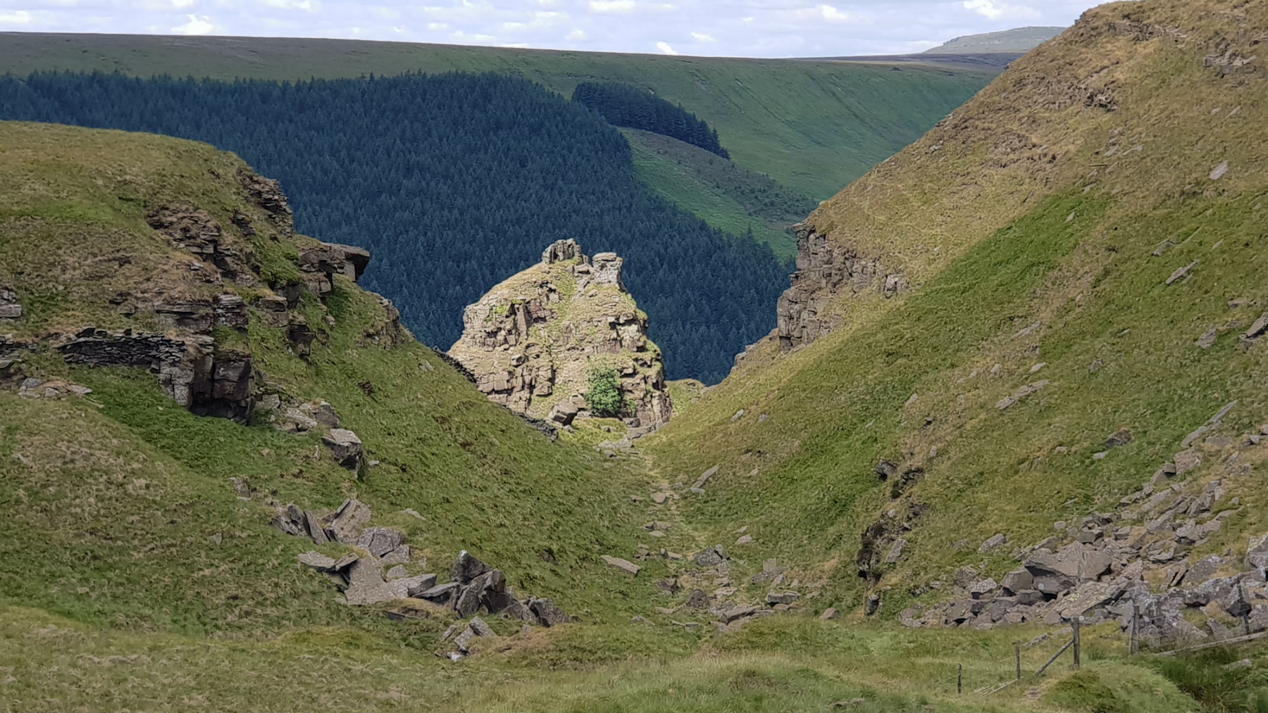
Alport Castles.
©gritstoneedge.co.uk
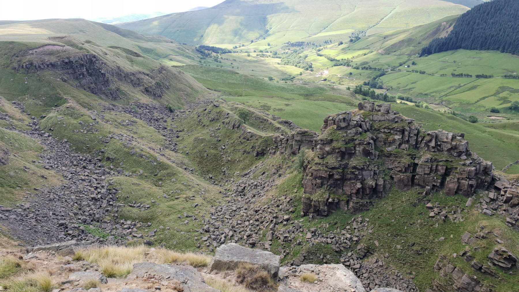
Alport Castles.
©gritstoneedge.co.uk
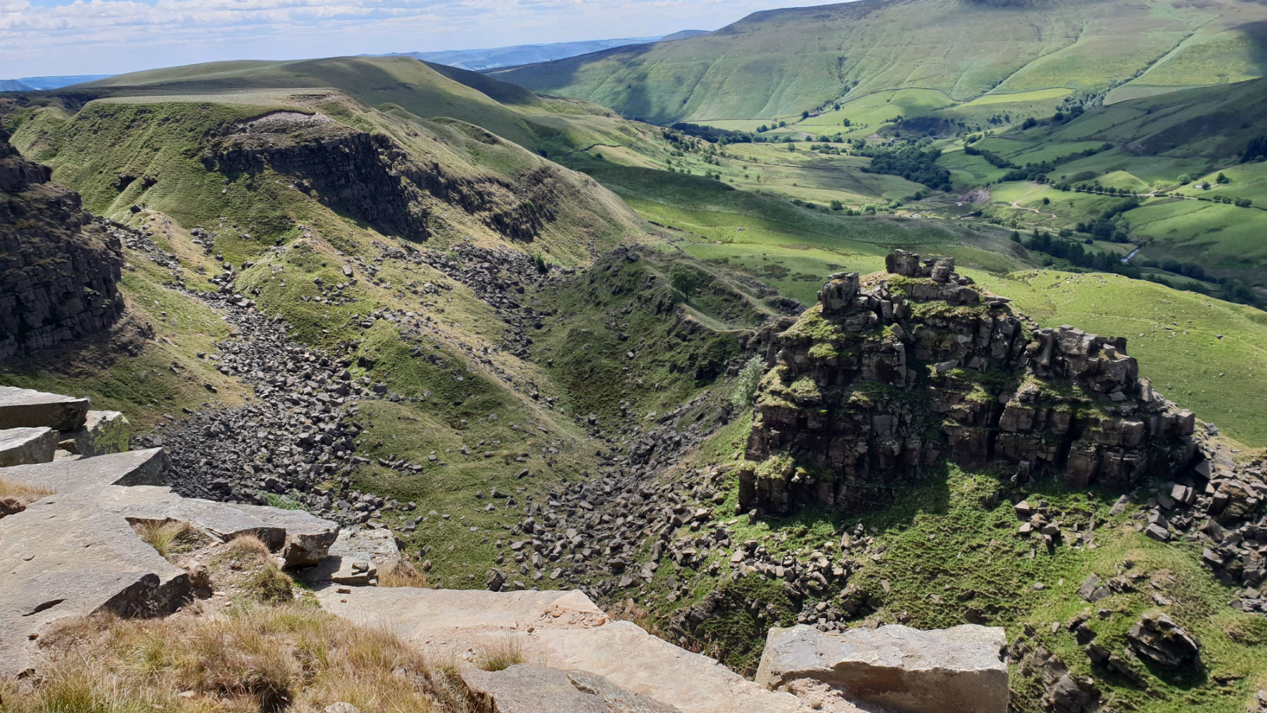
Alport Castles.
©gritstoneedge.co.uk
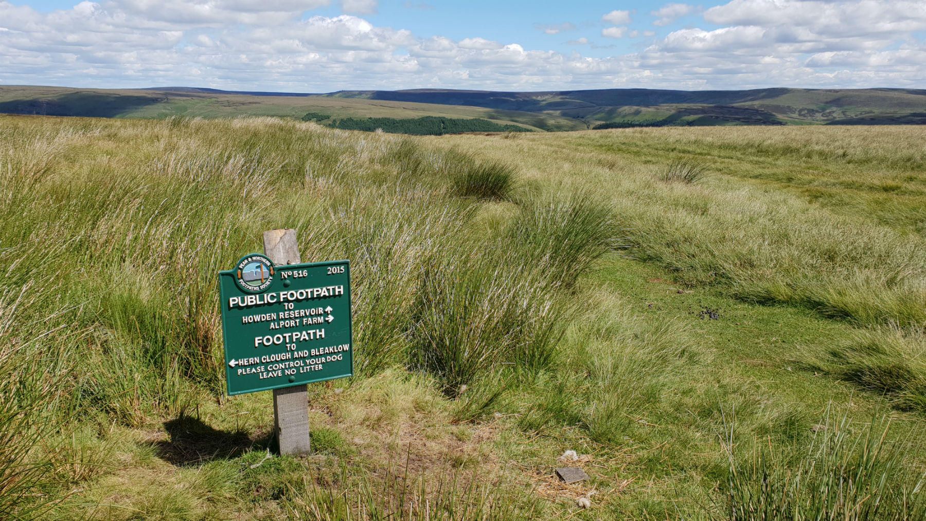
On the way down - top of Ditch Clough.
©gritstoneedge.co.uk
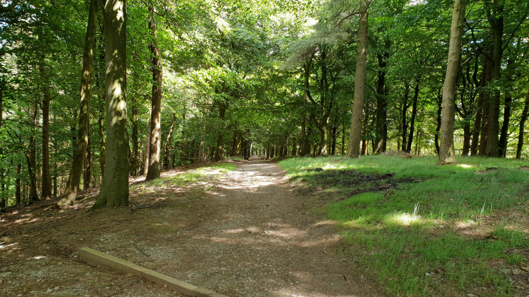
Through the forest.
©gritstoneedge.co.uk
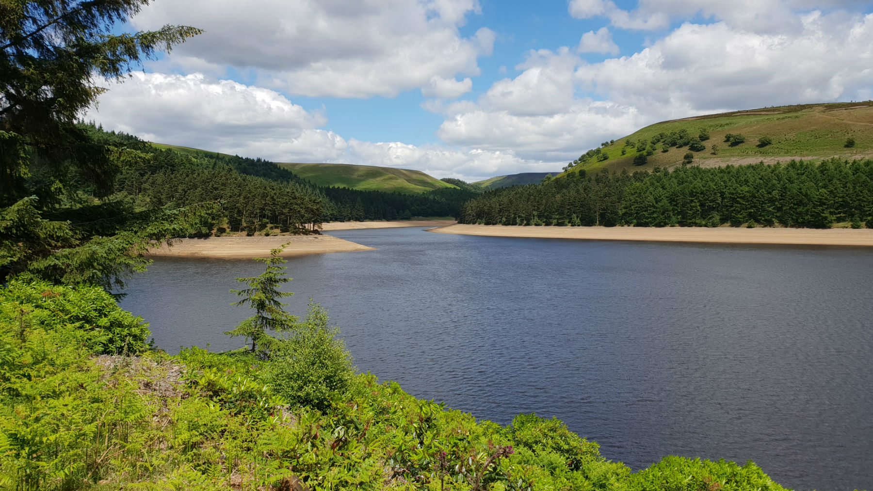
Back at the resrvoir.
©gritstoneedge.co.uk
From Fairholms walk up to the road and just opposite the exit, on the opposite side of the road there is signpost of a walking route to Lockerbrook. Follow this path, and track, as it winds through the forest. At the end of the forest walk through the field to reach the track to Lockerbrook Farm. Turn left to reach Lockerbrook Farm. The track becomes tarmaced at the farm. Follow along this track for a further 400m past the farm. This track rises slowly to its high point giving increasing good views over the Peak District. On the right there is a path that climbs steeply to Lockerbrook Heights. Here there are some great views here over to Win Hill and Kinder. (1.0kms. 140m. 0hrs. 40min.)
From the road walk to the stile. Climb the stile but stand on top for a great view over to Kinder and much of the Peak District. Climb down the stile and walk along the excellent path through Rowlee Pastures towards Alport Castles. The path is much improved here. Follow the path to the wall marked on the OS map which is dilapidated. Follow the line of the wall onto Alport Castles. Time to stop here. Perhaps descend to the bottom via the path and explore the area. But, do return to the top path. Continue along this top path to the northern end of the Castles, at Birchin Hat. It is worth sitting a while here looking over the rock features and the views over to Kinder and Bleaklow. (3.5kms. 140m. 1hrs. 20min.)
From here (Birchen Hat) follow the path and track down by Ditch Clough to the valley floor. Again this is an excellent path that reaches a forest and then descends to the road on the west of Howden Reservoir. There is currently (May 2026) forestry work and you cannot reach the road from the bottom of Ditch Clough. There is a path around the forestry works to the right. Once at the road follow the road around Howden Reservoir. Then it is onto Derwent Reservoir. As you pass Ouzelden you can clearly see the forestry operations and the restrictions to the path up to Lockerbrook. Continue around Derwent Reservoir, past the Dam and downhill back to Fairholms. Whilst this is walking along a, not busy, road, you can largely walk on a path alongside the road. (8.0kms. 20m. 2hrs. 20min.)
About gritsoneedge.co.uk:
This site includes many walking routes over the Peak District including the Eastern Edges, Kinder and Bleaklow. There are some great days to be had when walking in this area in all seasons. Safe to say we have experienced some really terific conditions as well as some wild days. Each provides an experience not to be missed.
The aim of this site is to provide a "modern" guidebook, a mobile phone friendly online guide. View this site on your mobile phone. Take this with you when walking and you will be able to follow the routes. However do not rely on this; mobile phone reception is not ubiquitous throughout the Peaks. Make sure you take a map and compass and the ability to us them as well.





Disclaimer :This site has links to many adventures in the outdoors, walking or cycling in hills and moors, within the UK. These can be dangerous activities. Conditions can change rapidly in the outdoors. The information and links provided on this site is given in good faith. gritstoneedge.co.uk cannot be held responsible for any loss or injury caused by encouraging you into the outdoors of by the accuracy of the information provided on this site.
© gritstoneedge.co.uk all rights reserved 2015-2026