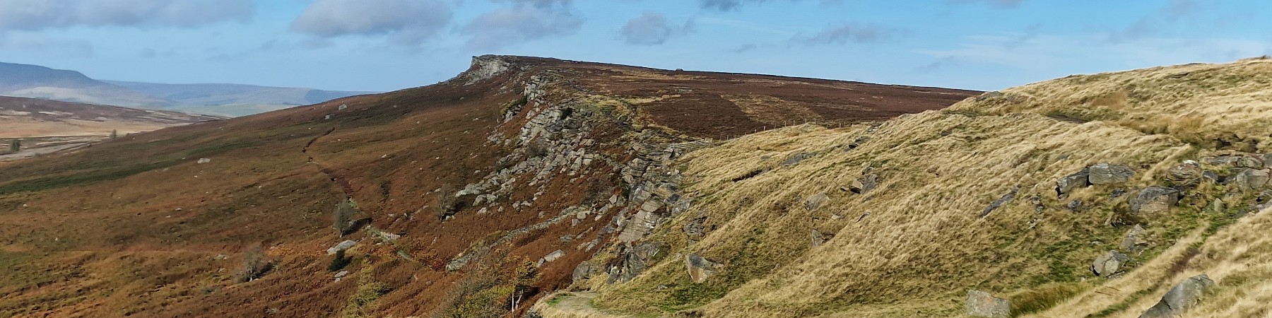
| Hill Summit : | Back Tor[SK197909, 538m.] |
| Start : | Fairholms Car Park Fairholms is a large and busy car park at the north end of the Ladybower Reservoir. Payment is required. [SK172893 212m ] |
| Summary : | Fairholms Car Park - Ladybower Reservoir - Wheel Stones - Dovestone Tor - Back Tor - Lost Lad - Ladybower Reservoir - Fairholms. |
| distance : | 13.5km. |
| ascent : | 440m. |
| time : | 4hr. 50min. |
Derwent Edge is the northerly of the Eastern edges; east from the Bleaklow plateau. Not large vertical cliffs as Stanage but interesting rock formations on the top of the predominantly grassy ridge. This walk, as with the others on the Eastern edges, are significant hillwalking expeditions. This is the heart of the wild Peak District where the conditions can be severe in wintery or windy conditions. This walk can start at various places but the description starts at the busy Fairholms Car Park.
Bamford
Current Weather
Last Updated today at : 22:51:39
| Overall : | scattered clouds |
| Temperature : | 10degC. |
| Wind Speed : | 11km/hr. |
| Wind Direction : | E |
| Clouds : | scattered clouds |
| Precipitation : | none |
| Sunrise : | 06:02:34 |
| Sunset : | 17:52:18 |
| : | Times are GMT add 1 hour for BST |
Data from openweathermap.org
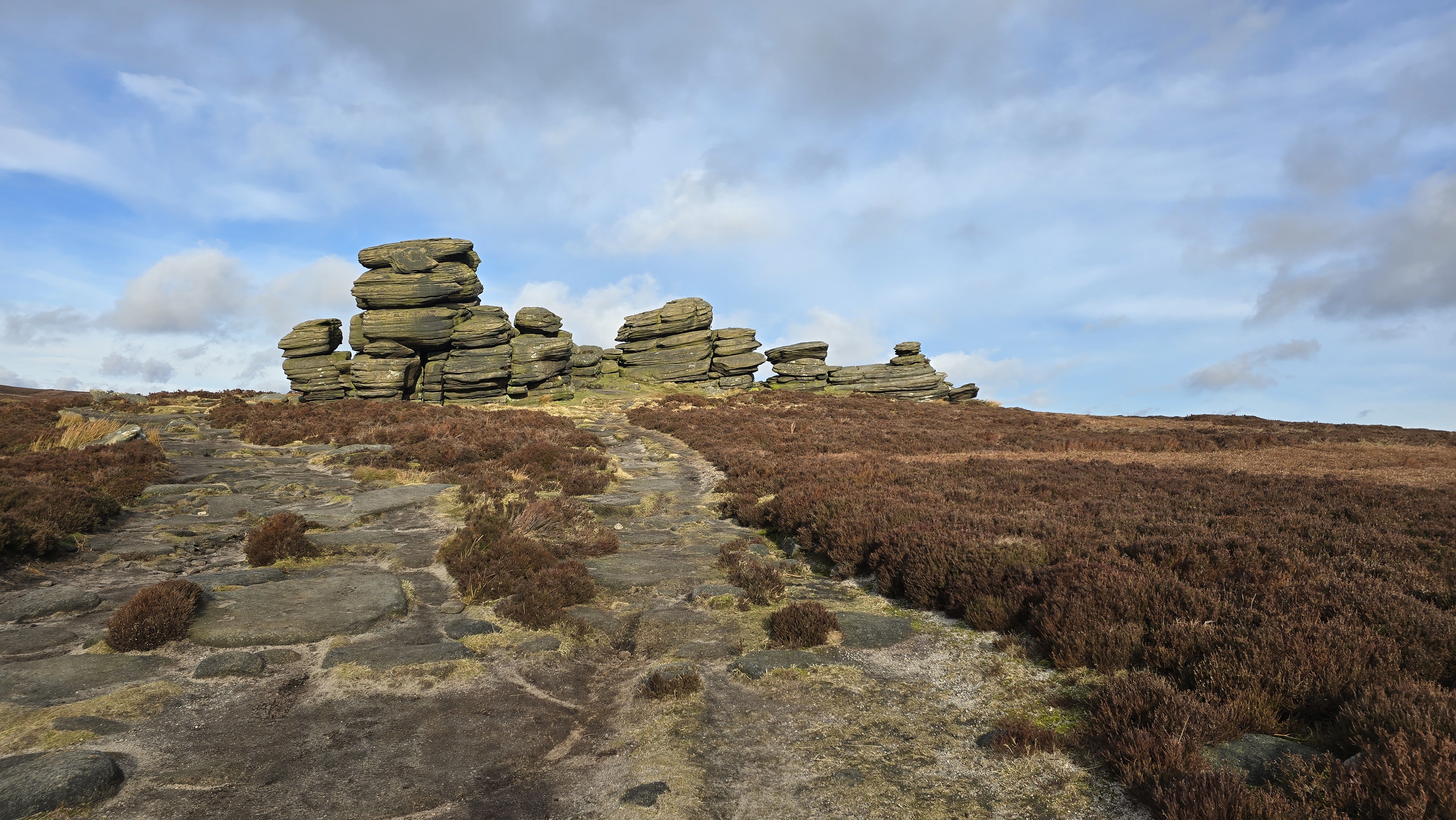
Coach and Horses Rocks.
©gritstoneedge.co.uk
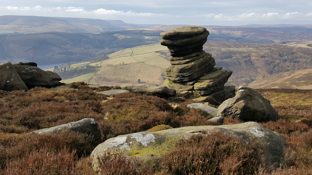
Salt Cellar - an interesting rock just below the edge.
©gritstoneedge.co.uk
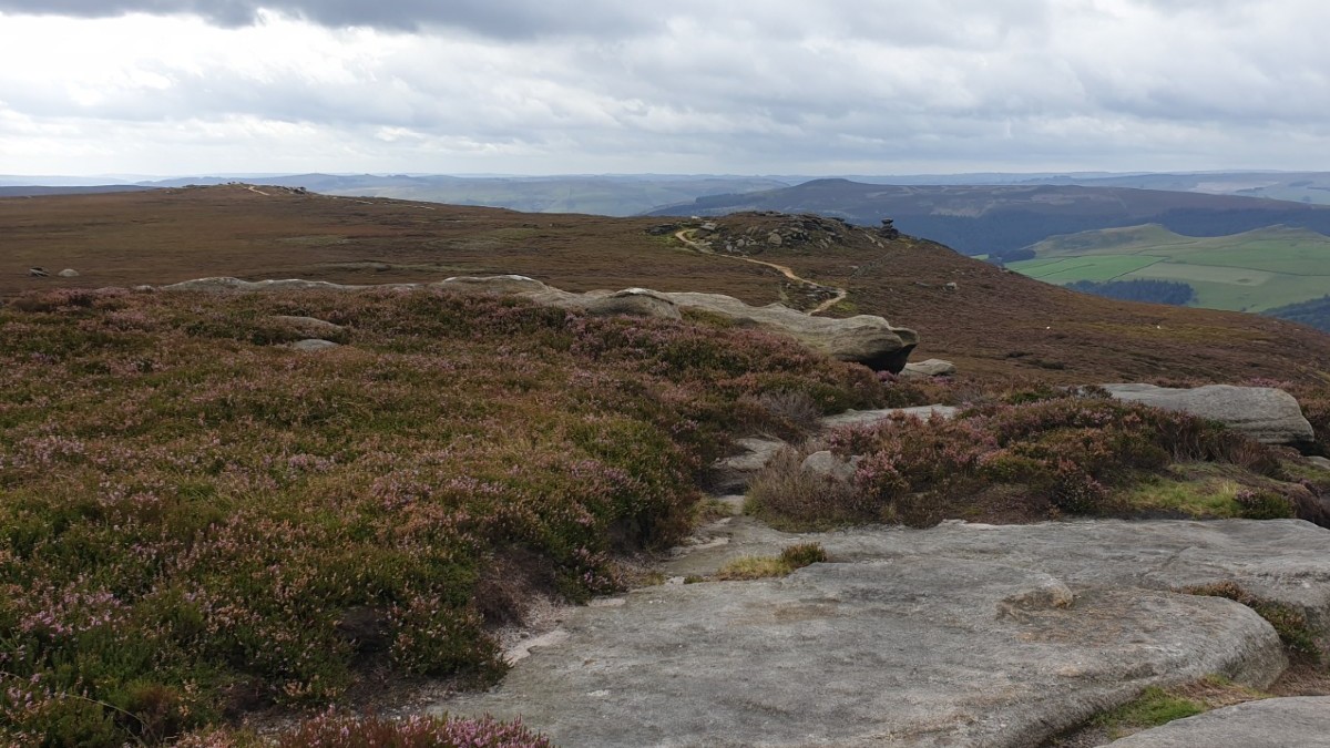
South down Derwent Edge.
©gritstoneedge.co.uk
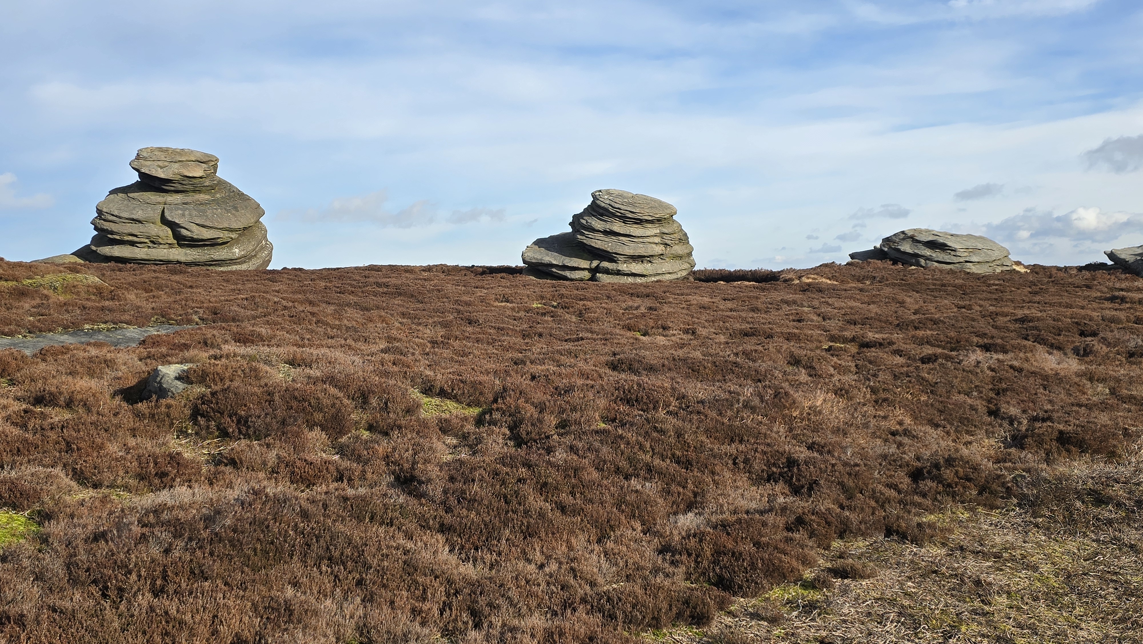
Cakes of Bread rock formation.
©gritstoneedge.co.uk
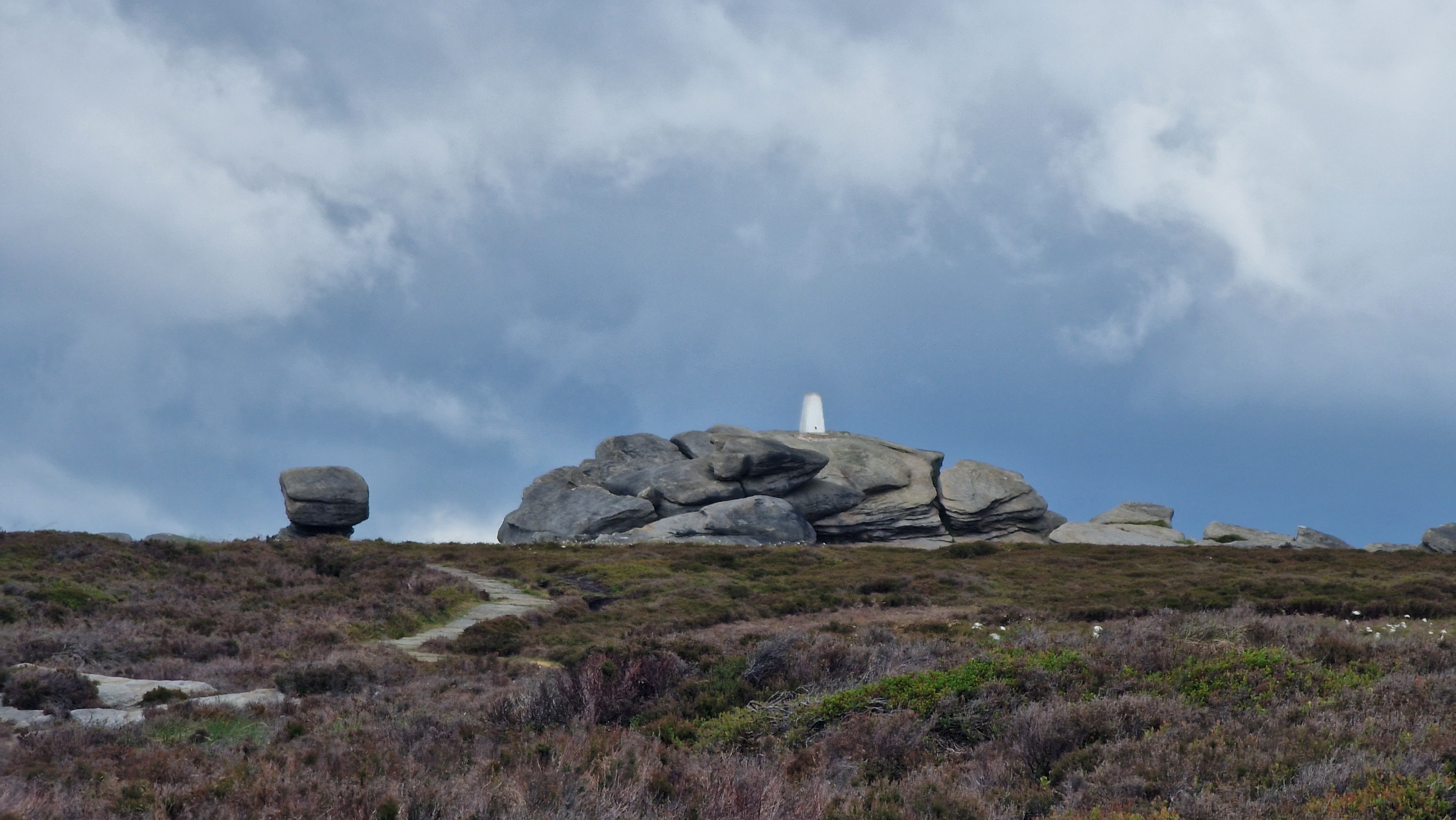
Back Tor with Trig Point.
©gritstoneedge.co.uk
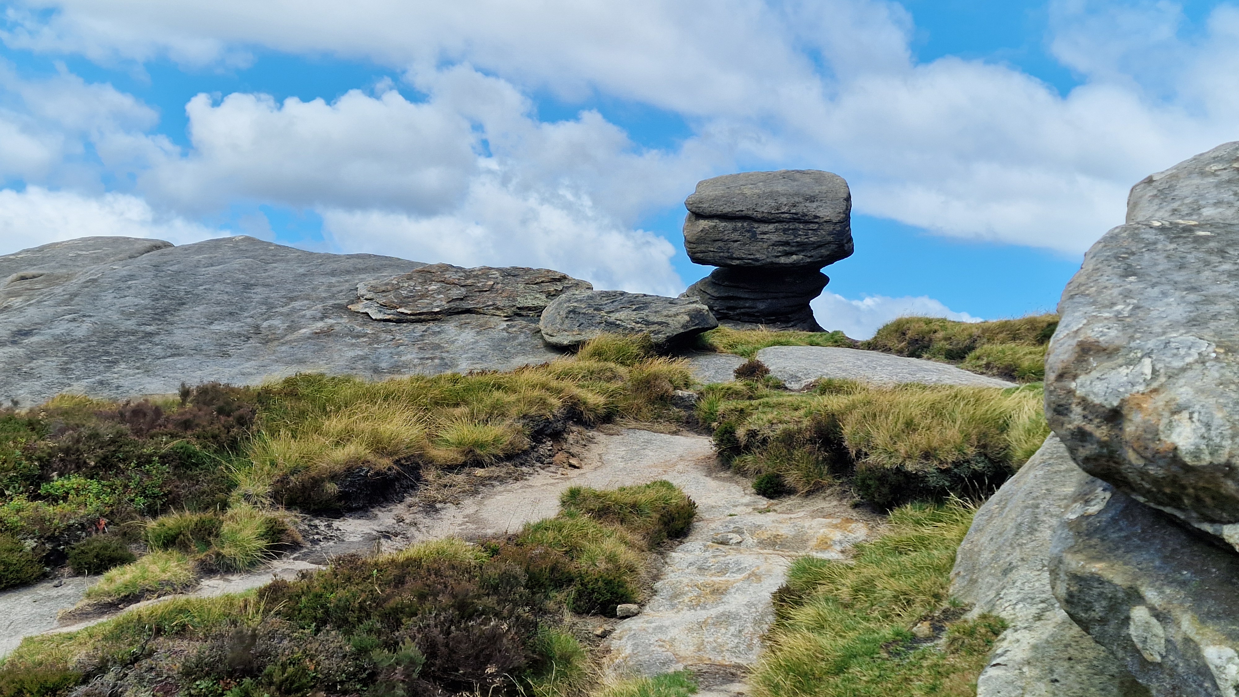
peper Pot by Back Tor.
©gritstoneedge.co.uk
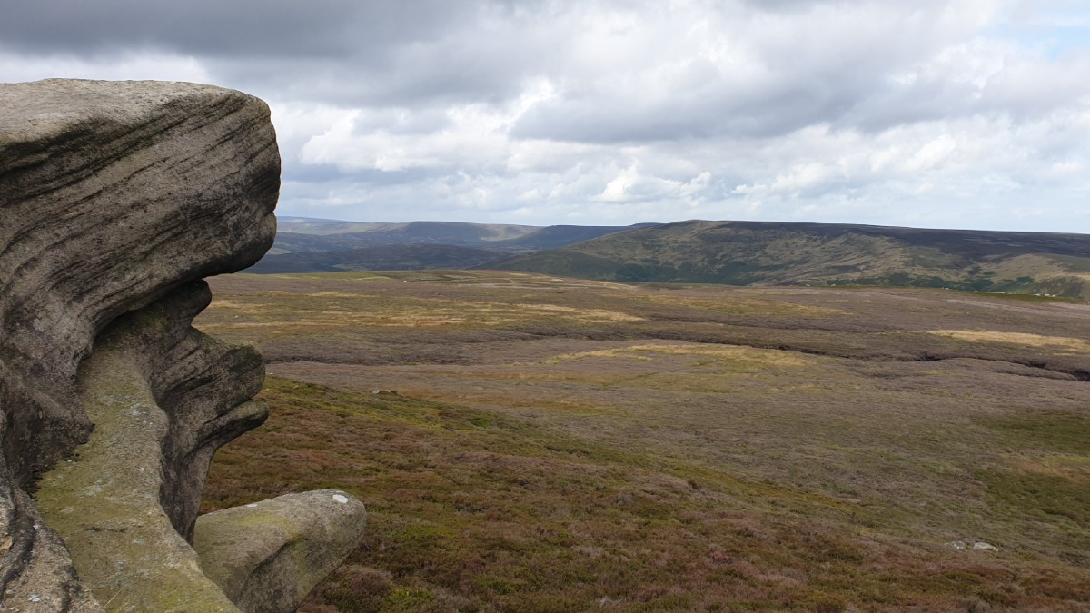
Looking up towards the top of Derwent Valley.
©gritstoneedge.co.uk
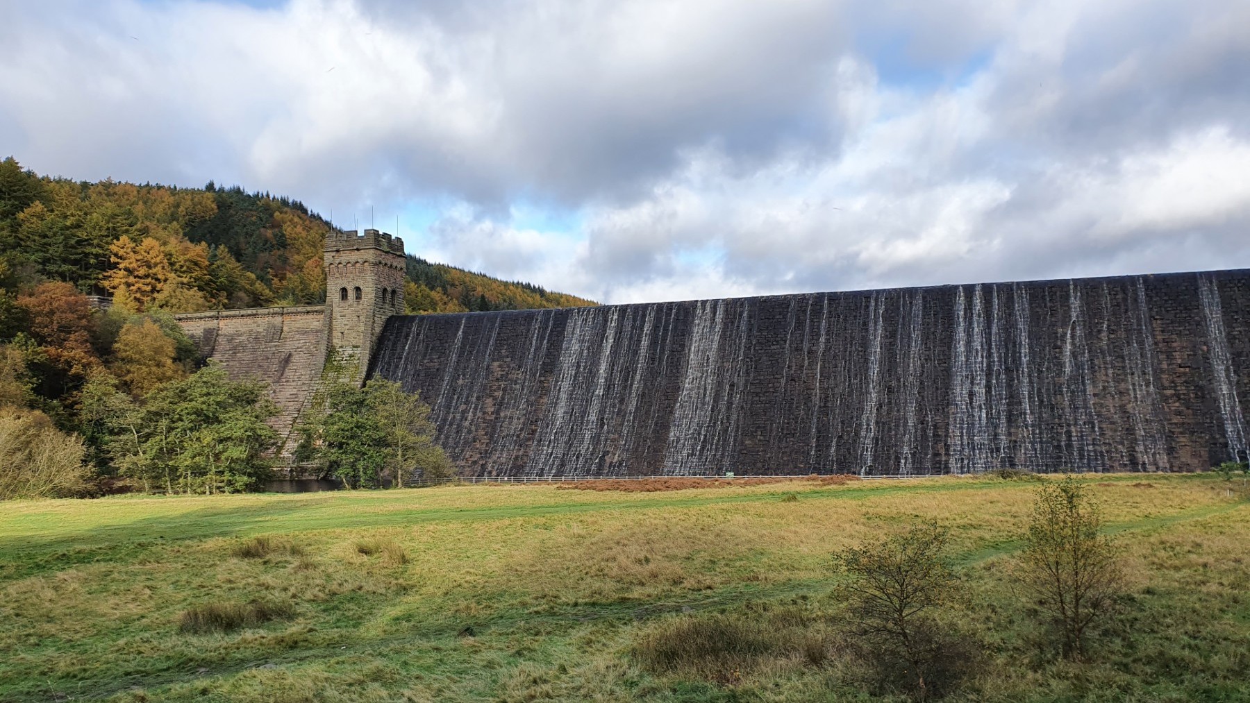
Derwent dam in Autumn.
©gritstoneedge.co.uk
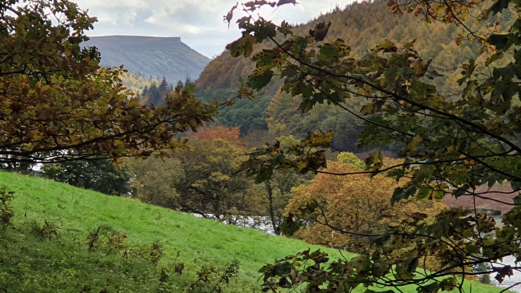
Bamford Edge peeking out.
©gritstoneedge.co.uk
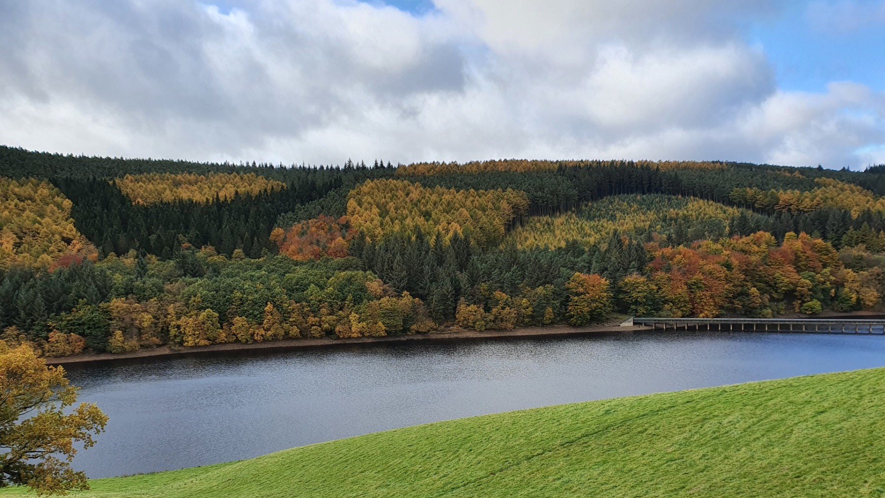
Ladybower and autumn trees.
©gritstoneedge.co.uk
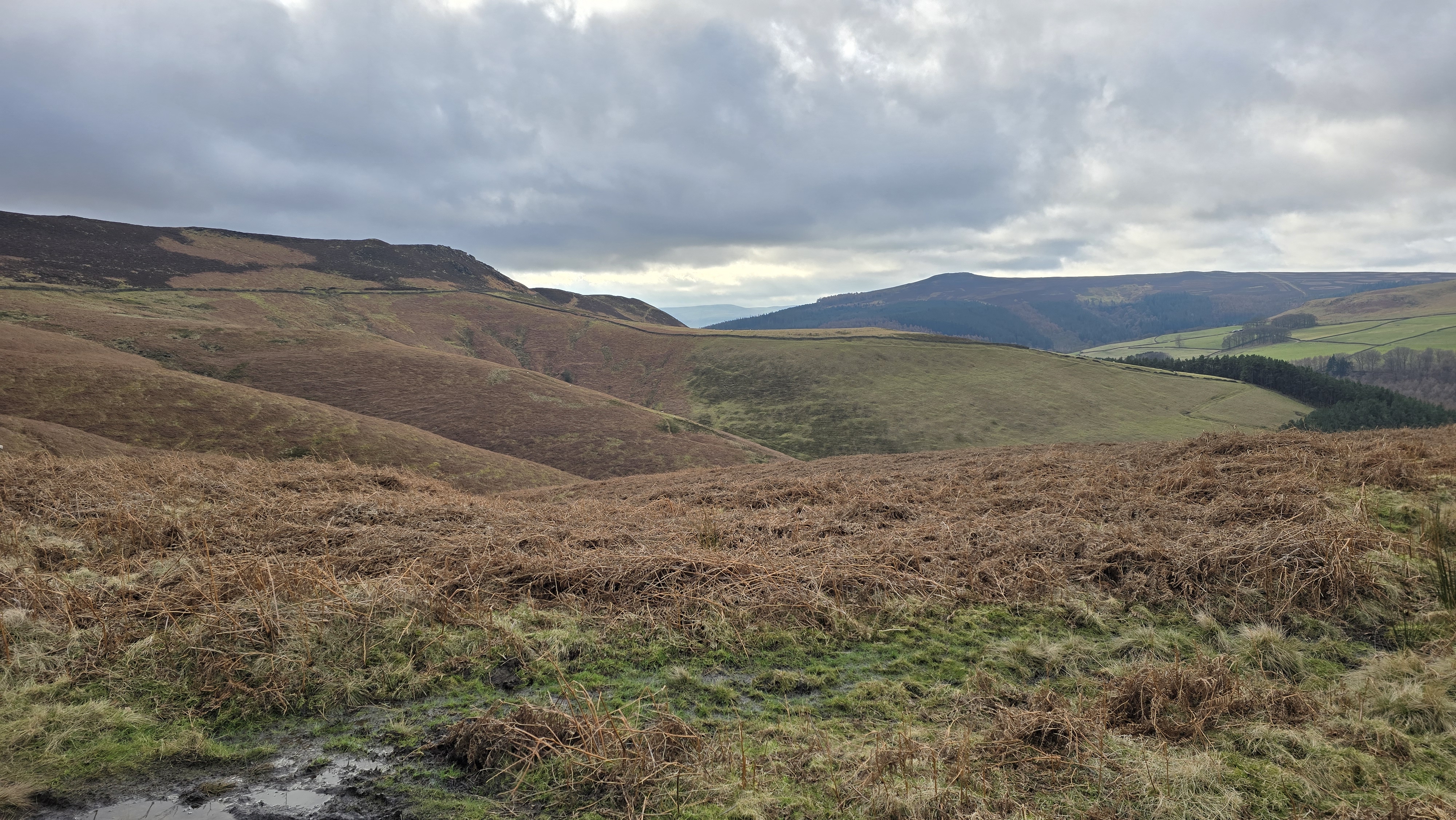
Towards the Edge.
©gritstoneedge.co.uk
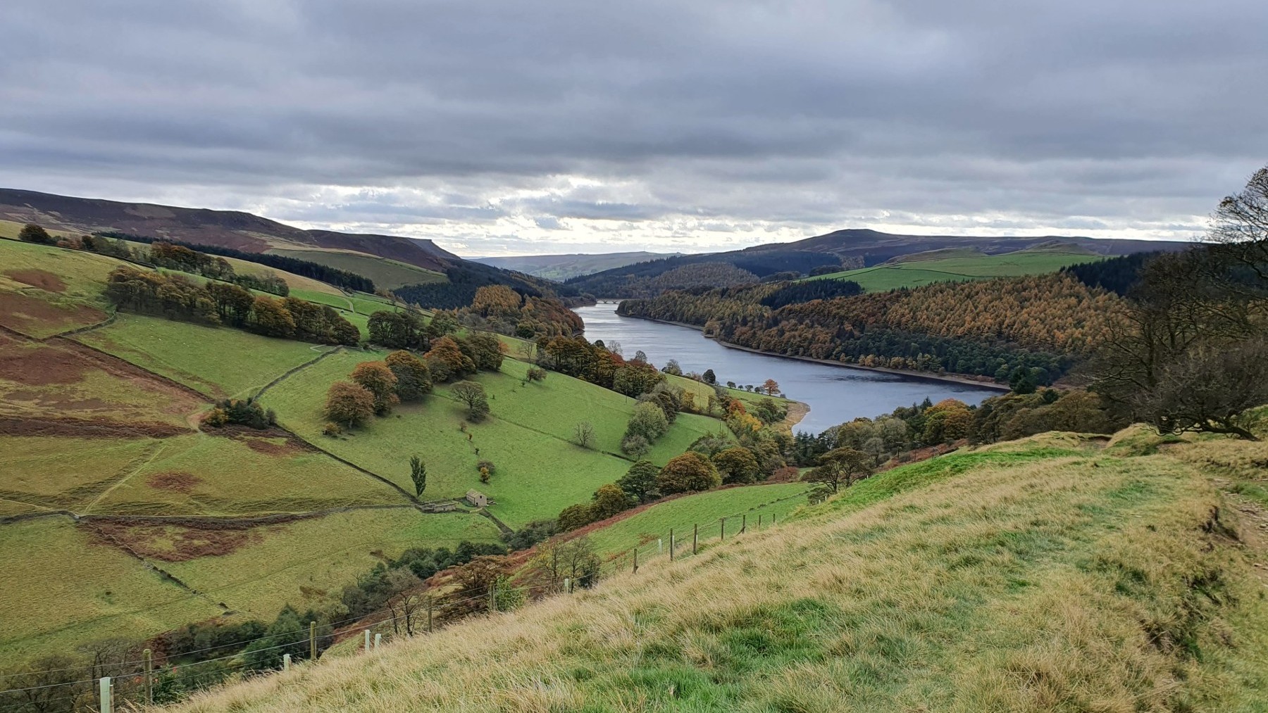
Down Ladybower Reservior.
©gritstoneedge.co.uk
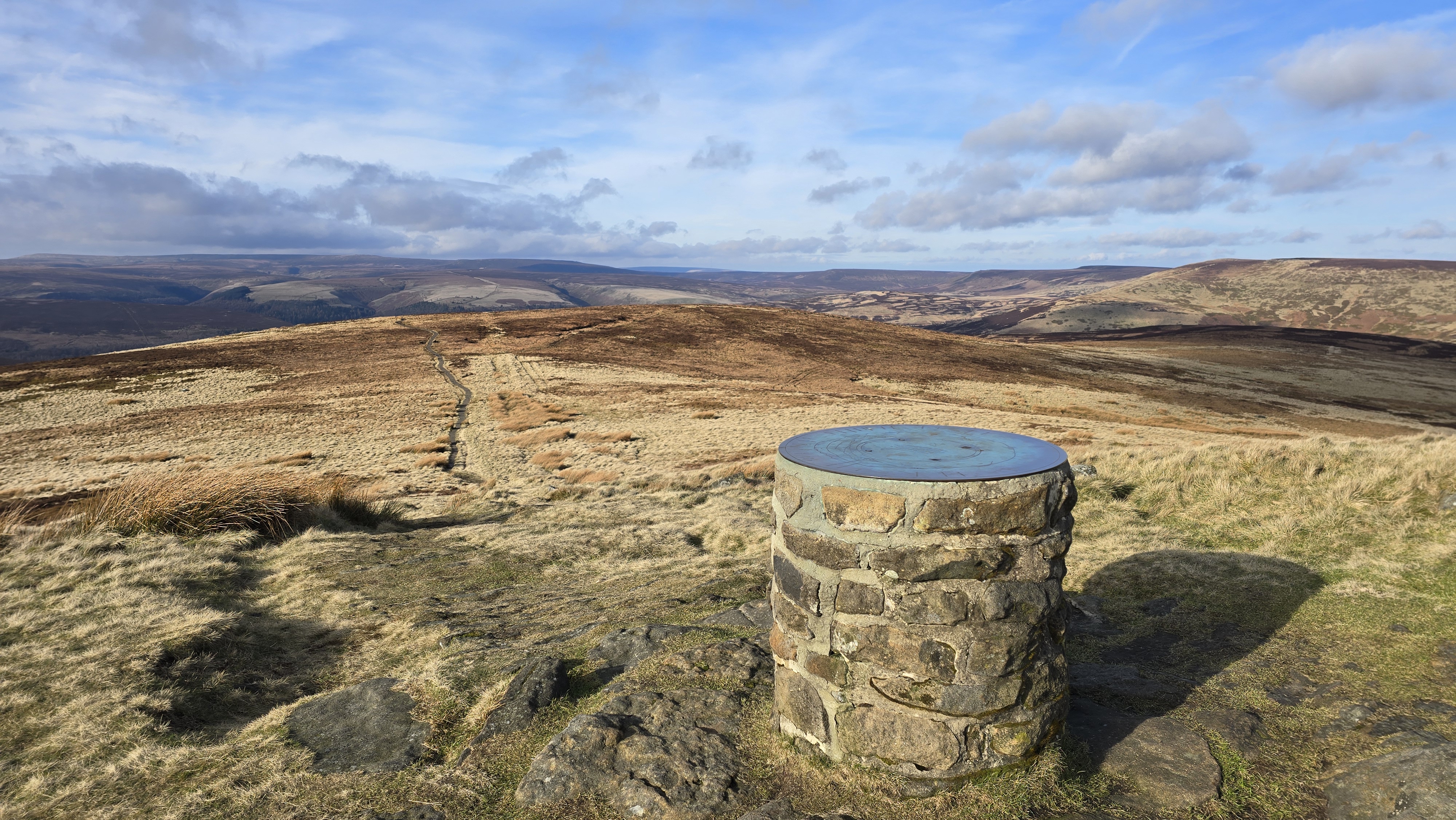
Lost Lad and beyond.
©gritstoneedge.co.uk
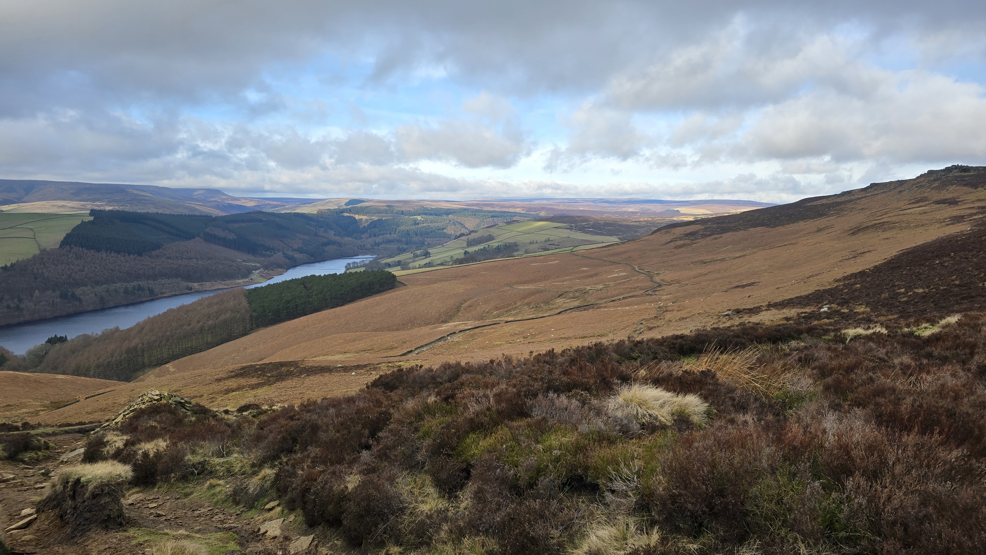
Derwent Reservoir and Upper Derwent Valley Beyond.
©gritstoneedge.co.uk
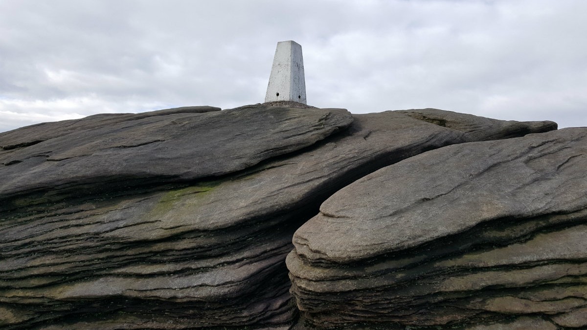
Back Tor trig point set on the rocks.
©gritstoneedge.co.uk
Leave the car park and walk towards the Derwent Dam. This can be spectacular if it is overflowing. Follow the road that turns south down the eastern edge of Ladybower reservoir. Follow this for around 2km. Just past Ashes Farm there is a footpath signed to Moscar. The path first goes up beside the farm to reach a shelter. From here follow the path that goes through the gate and to the wood. Follow the path up the side as the wood until it opens out. Climb up to the wall and follow a short distance to another signpost. Again follow the direction of Moscar. There is a path that climbs to a large pile of stones and a large signpost. There are good views all the way up towards Ladybower Reservoir, and over to Kinder and Bleaklow. (4.0kms. 240m. 1hrs. 40min.)
From the pass, follow the ridge to Back Tor passing the various rock features along the edge. First climb uphill to get to Wheel Stones, also called Coach and Horses. Then it is onto White Tor and Dovestone Tor. Just before reaching Dovestone Tor check out the Salt Cellar which is lower down than the other rock features but argueably one of the more famous. Doverstone Tor is a significant rock feature with some excellent views south down the Derwent Valley. Continue along the ridge past Cakes of Bread, on the right, to reach the high point at Back Tor with it's trig point. To reach the trig point itself involves some scrambling. The is as far as this route travels along the ridge on this walk, but the ridge continues further north. On a clear days there are clear views of the way north. (3.0kms. 160m. 1hrs. 20min.)
From Back Tor take the NW path to Lost Lad. There is a large direction table at the summit and worth taking time to see all the sights of this area. From Lost lad follow the paths, often muddy, around the top of Green Stiches. At the path junction, tend left to follow the path south eventually down to Ladybower Reservoir. First the path passes a small wood on its the left, then south to skirt around Pike Low. The path follows the line of a wall and once through two gates descends steeply along a narrow track to reach the road around the reservoir. Follow this rosd back to Derwent Dam and then Fairholms car park. (6.5kms. 40m. 2hrs. 0min.)
About gritsoneedge.co.uk:
This site includes many walking routes over the Peak District including the Eastern Edges, Kinder and Bleaklow. There are some great days to be had when walking in this area in all seasons. Safe to say we have experienced some really terific conditions as well as some wild days. Each provides an experience not to be missed.
The aim of this site is to provide a "modern" guidebook, a mobile phone friendly online guide. View this site on your mobile phone. Take this with you when walking and you will be able to follow the routes. However do not rely on this; mobile phone reception is not ubiquitous throughout the Peaks. Make sure you take a map and compass and the ability to us them as well.





Disclaimer :This site has links to many adventures in the outdoors, walking or cycling in hills and moors, within the UK. These can be dangerous activities. Conditions can change rapidly in the outdoors. The information and links provided on this site is given in good faith. gritstoneedge.co.uk cannot be held responsible for any loss or injury caused by encouraging you into the outdoors of by the accuracy of the information provided on this site.
© gritstoneedge.co.uk all rights reserved 2015-2026