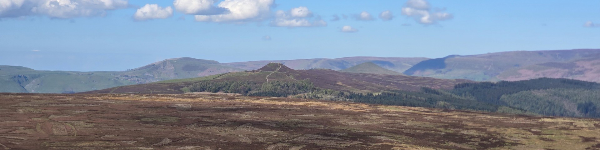
| Start : | Wyming Brook Car Park. The free car park at the top of Wyming Brook.[SK269859 293m ] |
| Summary : | Wyming Brook - Redicar Clough - Head Stone - Oaken Clough Reservoir - Redmires Reservoir - Wyming Brook |
| distance : | 9.0km. |
| ascent : | 170m. |
| time : | 3hr. 0min. |
Driving down the A57 east towards Sheffield there is an obvious "Stone" set in the moors on the south of the road. This is the Head Stone. The Head Stone is reached by walking down through the forest around Wyming Brook and then over the moors to the stone. The return is via Redmires reservoirs. This walk is on the edge of Sheffield and as such parts can be popular but the moors over by the Head Stone are often devoid of walkers.
Sheffield
Current Weather
Last Updated today at : 22:51:02
| Overall : | few clouds |
| Temperature : | 10degC. |
| Wind Speed : | 7km/hr. |
| Wind Direction : | ESE |
| Clouds : | few clouds |
| Precipitation : | none |
| Sunrise : | 06:01:41 |
| Sunset : | 17:51:24 |
| : | Times are GMT add 1 hour for BST |
Data from openweathermap.org
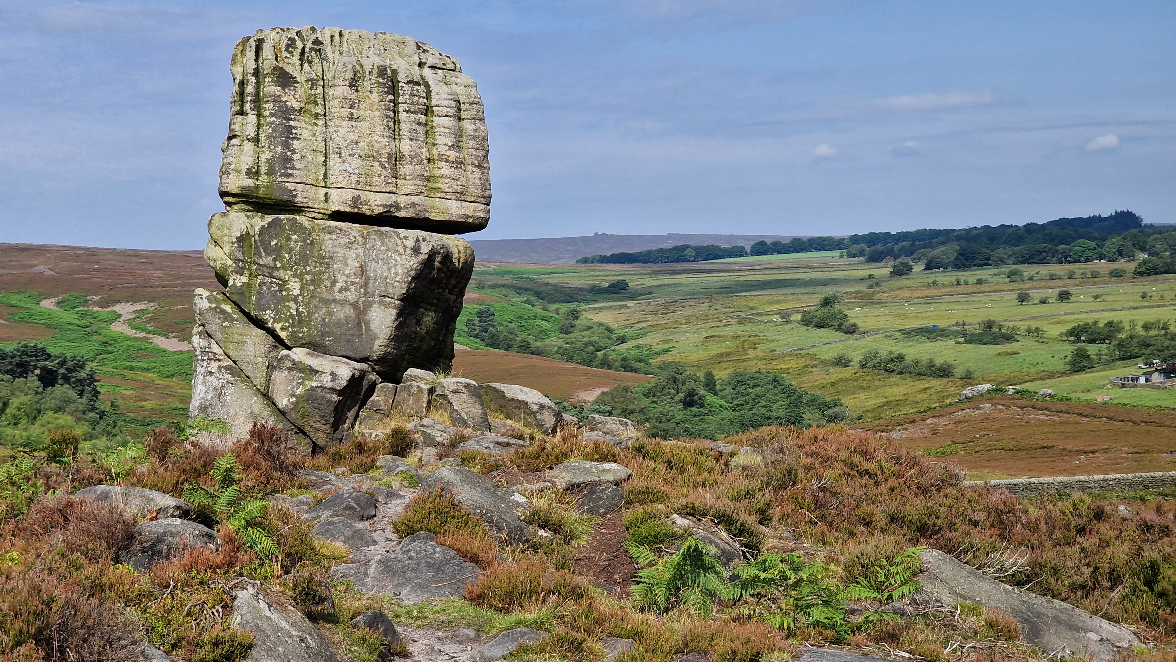
Head Stone
©gritstoneedge.co.uk
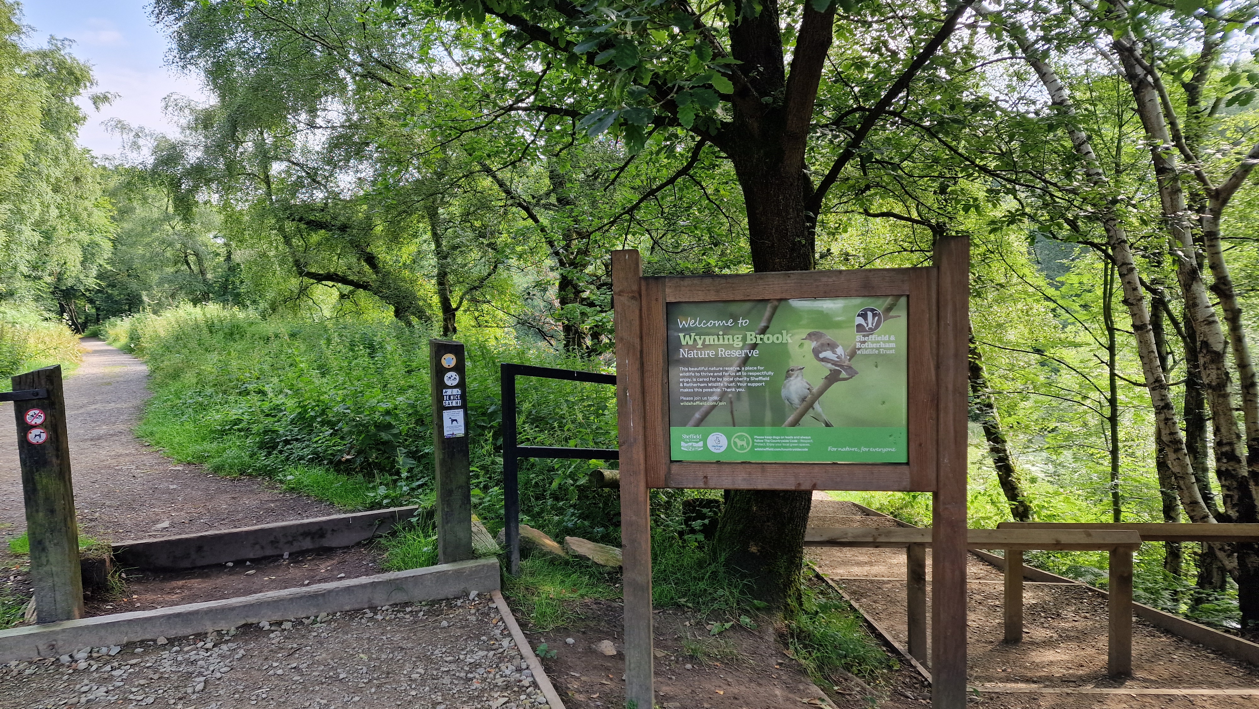
Starting at Wyming Brook.
©gritstoneedge.co.uk
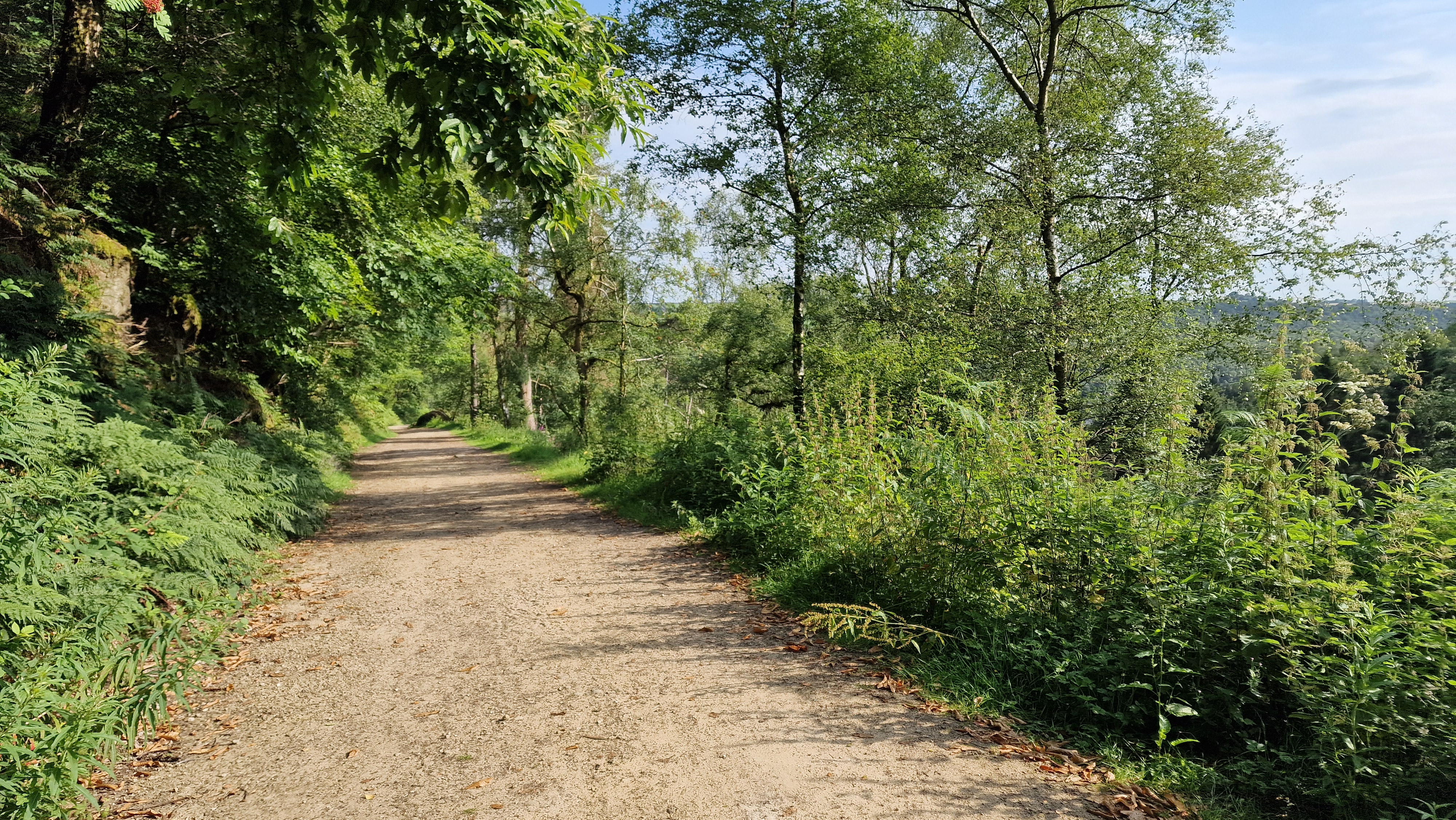
Walking down Wyming Brook.
©gritstoneedge.co.uk
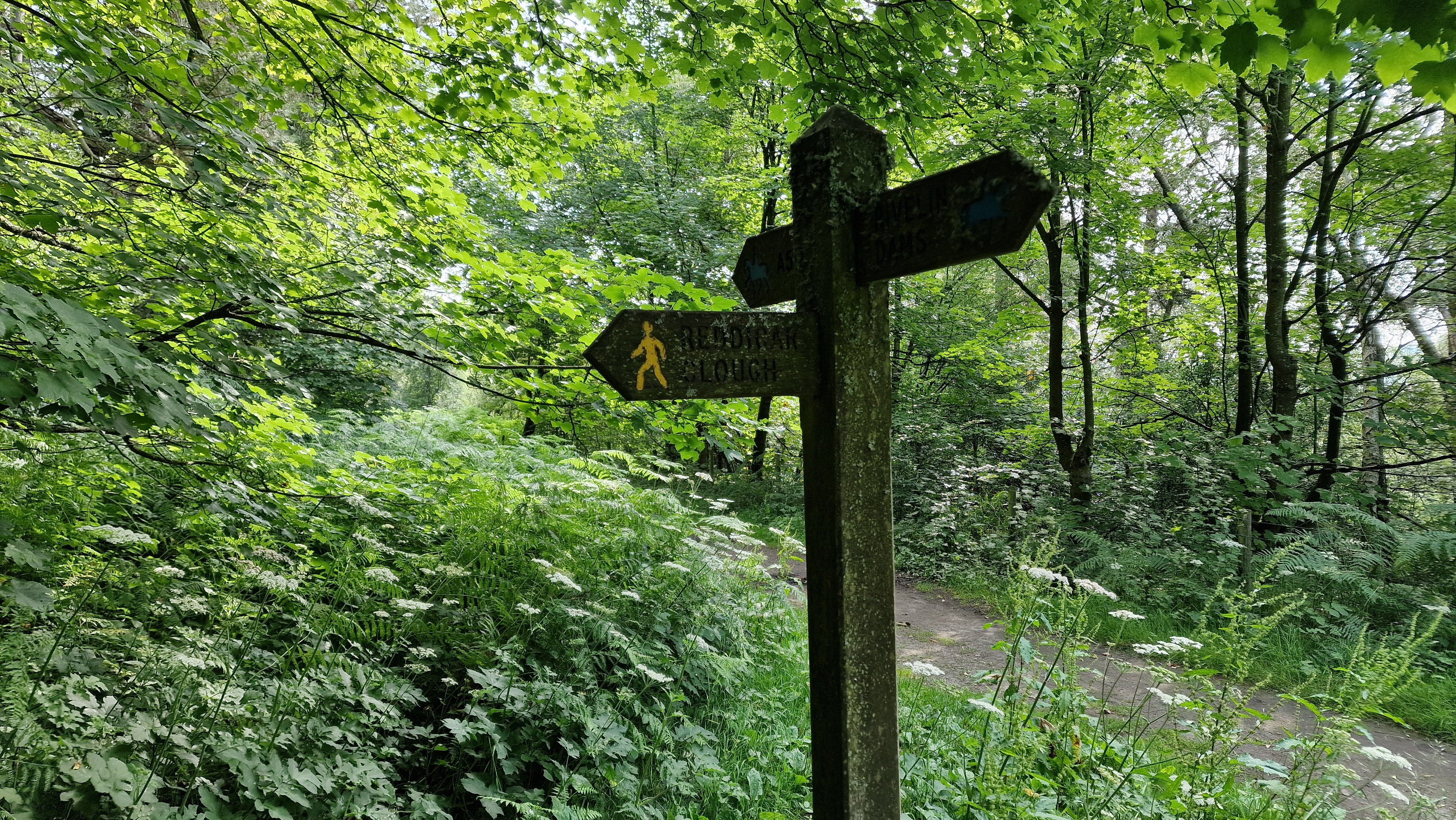
Path to Redicar Clough.
©gritstoneedge.co.uk
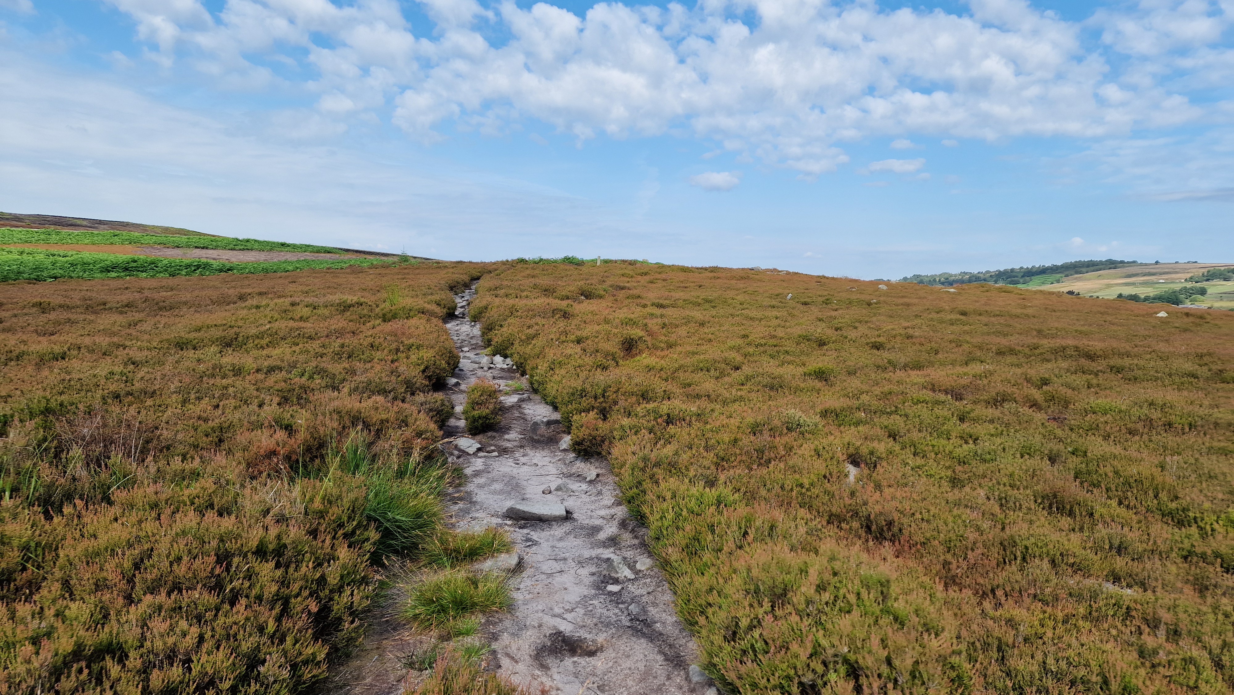
Walking over the moors towards the Head Stone.
©gritstoneedge.co.uk

Towards the Head Stone
©gritstoneedge.co.uk
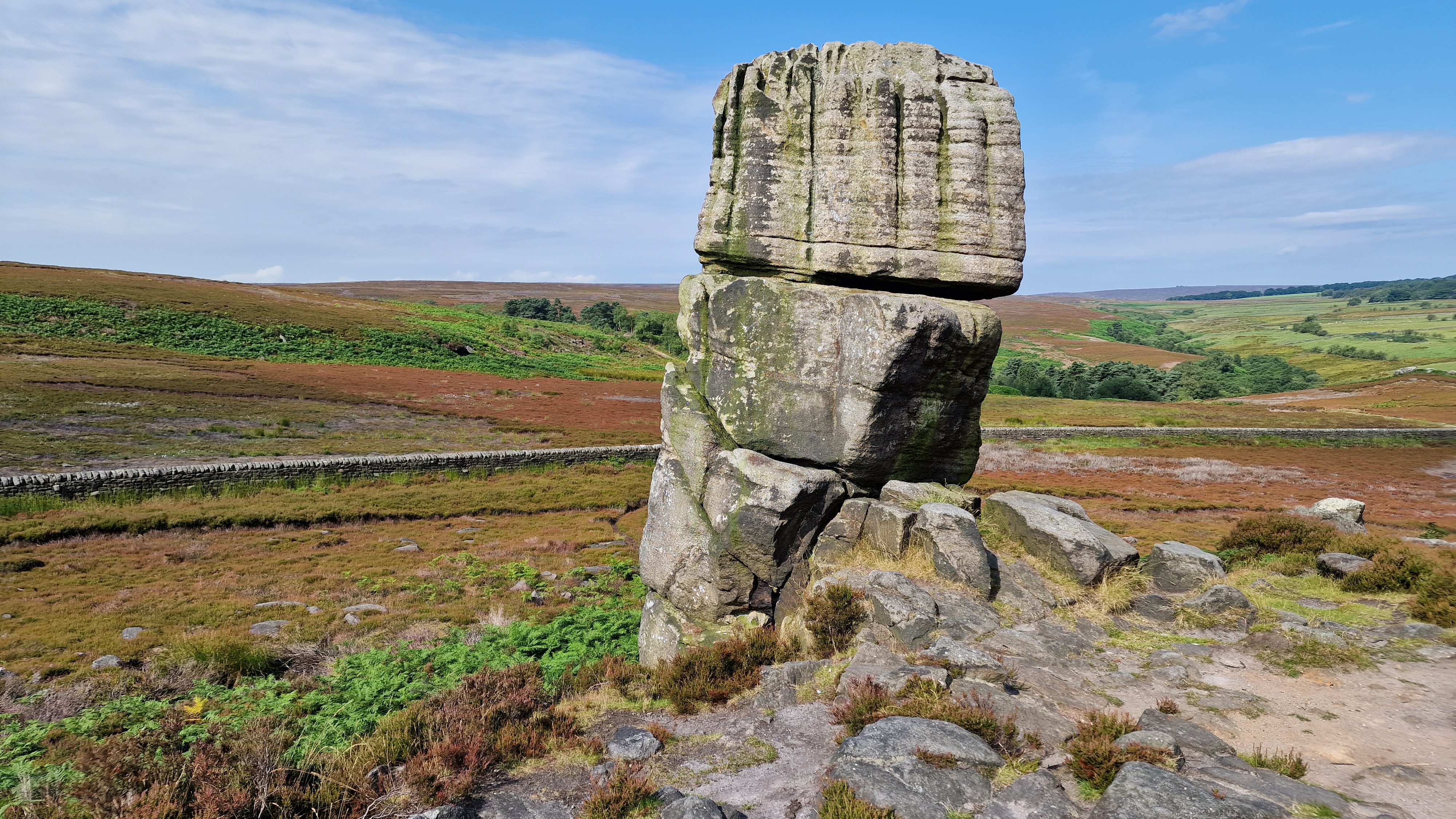
The Head Stone and over to Hallam Moors.
©gritstoneedge.co.uk
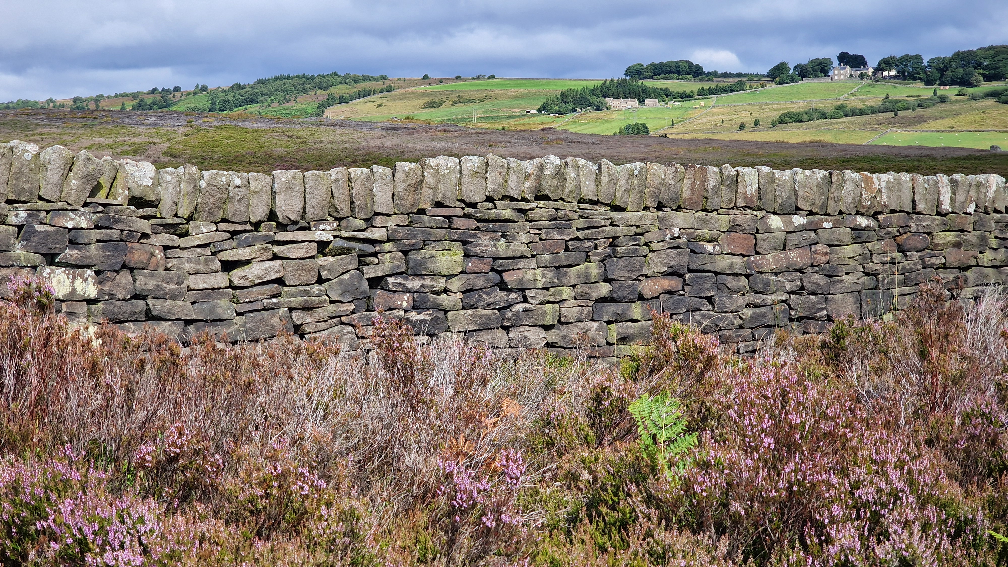
View over the Rivelin Valley.
©gritstoneedge.co.uk
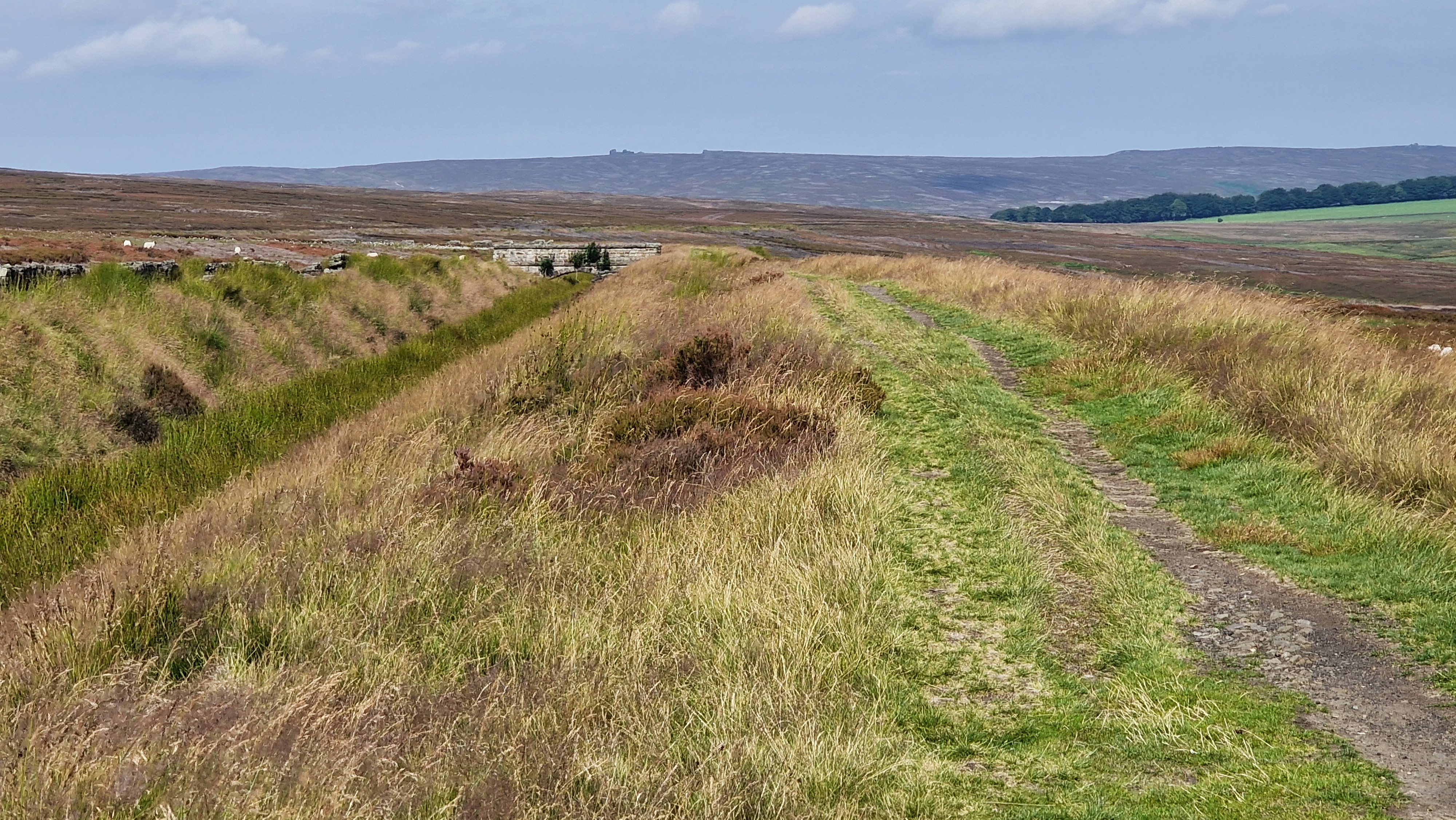
Along the conduit.
©gritstoneedge.co.uk
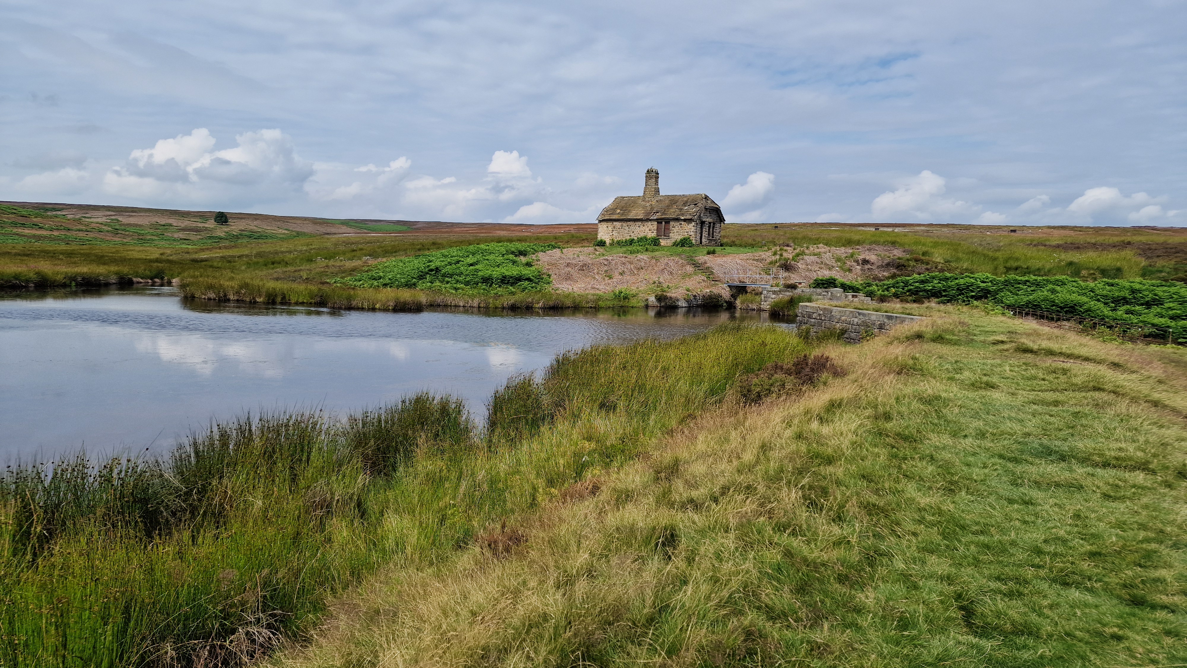
Ruined house by the small reservoir.
©gritstoneedge.co.uk
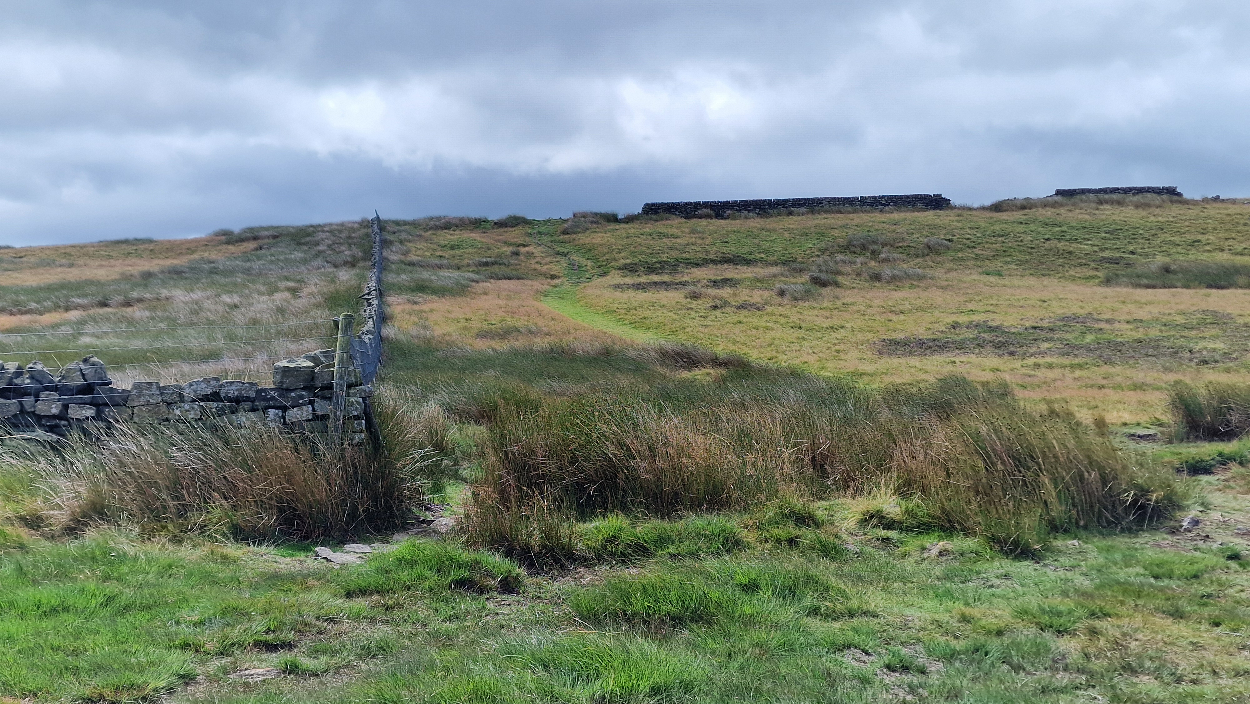
Walking over to Redmires.
©gritstoneedge.co.uk
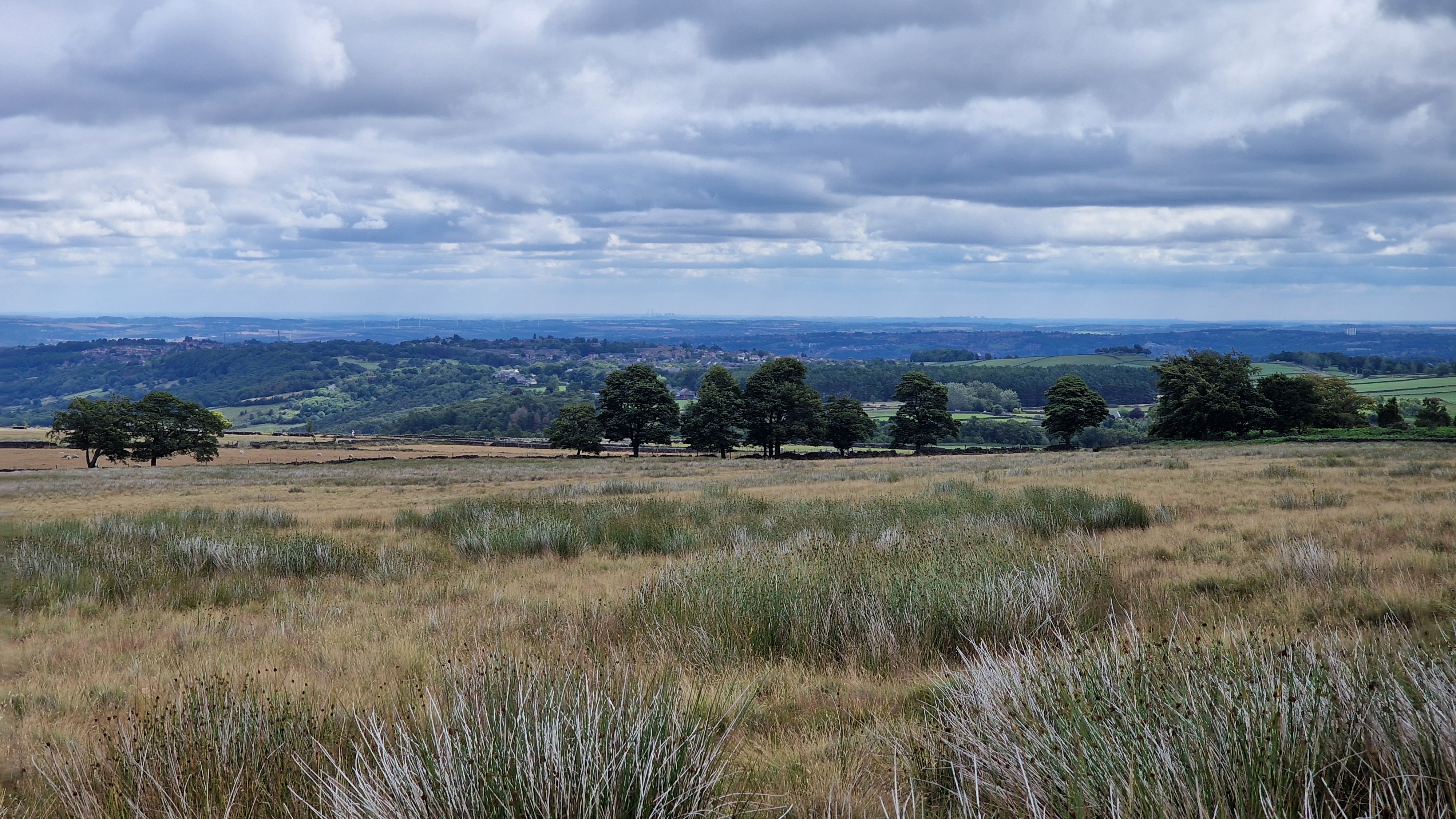
This is Sheffield.
©gritstoneedge.co.uk
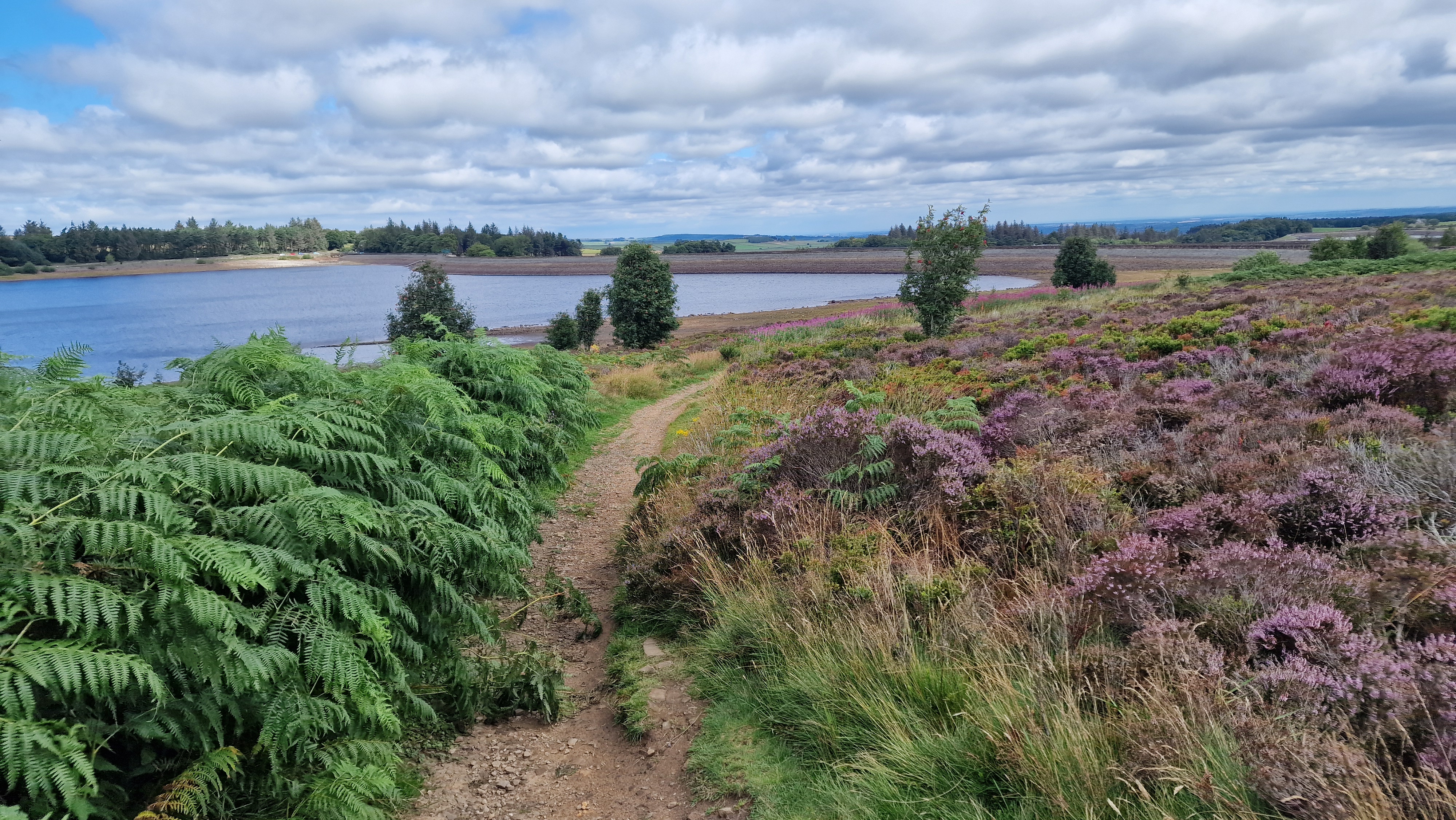
Redmires Reservoir.
©gritstoneedge.co.uk
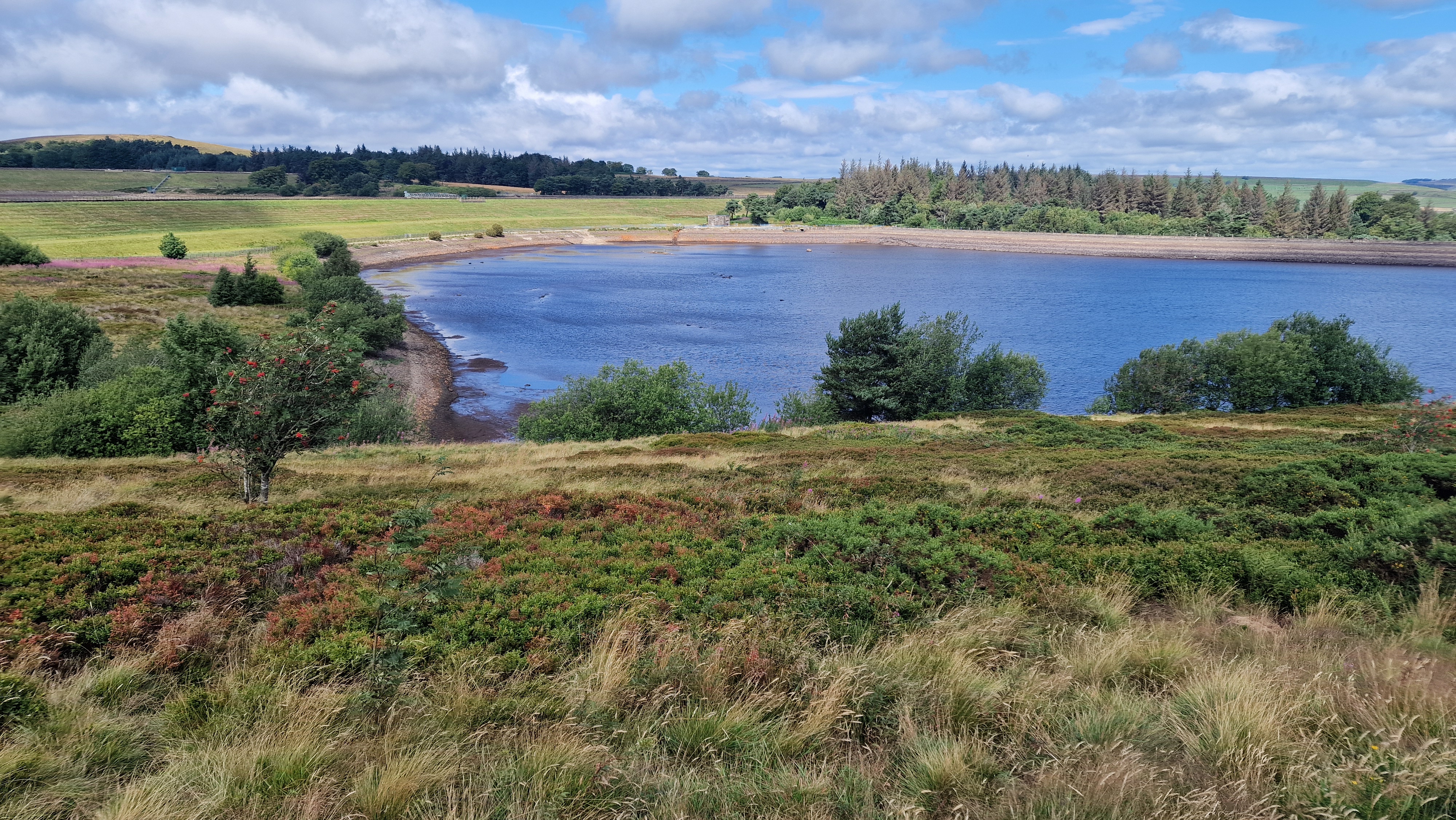
Redmires Reservoir.
©gritstoneedge.co.uk
From the car park at the top of Wyming Brook, the route first follows the track downhill along the line of the brook itself. Then the track turns more to the west. After another track comes in on the right from Rivelin, there is a signpost to New Hagg. From here continue on across the bridge and onto the start of Redicar Clough that is signposted. The thin path up Redicar Clough is followed through the wood. Once out of the wood the path leads to a gate. Once through the gate the path climbs to the height of the ridge with views over Sheffield behind. From here follow the thin path over the moor to reach the Head Stone. There are some good views here especially west to Hallam Moors and over to Derwent Edge. The city of Sheffield is clearly see in the opposite direction. (3.0kms. 100m. 1hrs. 10min.)
From the Head Stone retrace your steps to reach the path junction 100m away. Turn right here and follow this path, along the line of the wall to reach the conduit by the double gates. Now turn right along the conduit to walk to the small reservoir and the "ruined" house. This was once a shelter for those working on the reservoir and the associated water works here. It is worth sitting a while at this reservoir and if lucky will see a variety of birdlife on and around it. (2.0kms. 30m. 0hrs. 40min.)
From this reservoir return back along the conduit to get back to the double gates. From here turn right onto the small path that climbs the hillside, over a stream and onto the height overlooking Redmires Reservoir. Just before the wood, on the right is a small mound. Climb to the top to see the "monument" with a soldier outlined in metal. There are also good views over the reservoirs and of Sheffield. Return to the wood that you left, and descend the path to reach the road beside Upper Redmires Reservoir at the car park. Follow the road west around the upper reservoir until the road runs out. There is a footpath that follows around the southern shores of the 3 reservoirs, often wet following rain but easy to follow. A pleasant walk around the water's edge. Follow this path around the 3 reservoirs to reach a track that goes to the corner of the minor road, often busy with cars. Descend this road back to the road junction. Cross the road and follow the path through the gate, down to the stream and over the new stepping stones. Ascend the path back to the car park. (4.0kms. 40m. 1hrs. 20min.)
About gritsoneedge.co.uk:
This site includes many walking routes over the Peak District including the Eastern Edges, Kinder and Bleaklow. There are some great days to be had when walking in this area in all seasons. Safe to say we have experienced some really terific conditions as well as some wild days. Each provides an experience not to be missed.
The aim of this site is to provide a "modern" guidebook, a mobile phone friendly online guide. View this site on your mobile phone. Take this with you when walking and you will be able to follow the routes. However do not rely on this; mobile phone reception is not ubiquitous throughout the Peaks. Make sure you take a map and compass and the ability to us them as well.





Disclaimer :This site has links to many adventures in the outdoors, walking or cycling in hills and moors, within the UK. These can be dangerous activities. Conditions can change rapidly in the outdoors. The information and links provided on this site is given in good faith. gritstoneedge.co.uk cannot be held responsible for any loss or injury caused by encouraging you into the outdoors of by the accuracy of the information provided on this site.
© gritstoneedge.co.uk all rights reserved 2015-2026