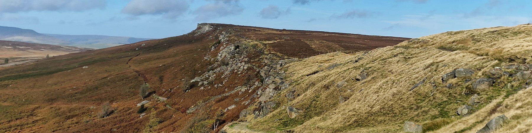
| Hill Summit : | High Stones[SK188943, 548m.] |
| Hill Summit : | Margery Hill[SK189957, 545m.] |
| Start : | Kings Tree The end of the road on the side of Howden reservoir.[SK167939 271m ] |
| Summary : | Kings Tree - Slippery Stones - Nether Hey - High Stones - Margery Hill - Cut Gate - Slippery Stones - Kings Tree |
| distance : | 12.5km. |
| ascent : | 330m. |
| time : | 4hr. 20min. |
High Stones is the high point of Sheffield and South Yorkshire. It lies within Howden Moors along Howden Edge. This is a remote moor well away from the crowds and the walker is likely to be on their own here. Howden Moor in general has a reputation as being wet and boggy but the area between High Stones and Margery Hill has an excellent path; as are the access paths up and down on this walk. This hill gives great views over Bleaklow, Kinder and east over most of South Yorkshire and beyond.
Sheffield
Current Weather
Last Updated today at : 22:51:02
| Overall : | few clouds |
| Temperature : | 10degC. |
| Wind Speed : | 7km/hr. |
| Wind Direction : | ESE |
| Clouds : | few clouds |
| Precipitation : | none |
| Sunrise : | 06:01:41 |
| Sunset : | 17:51:24 |
| : | Times are GMT add 1 hour for BST |
Data from openweathermap.org
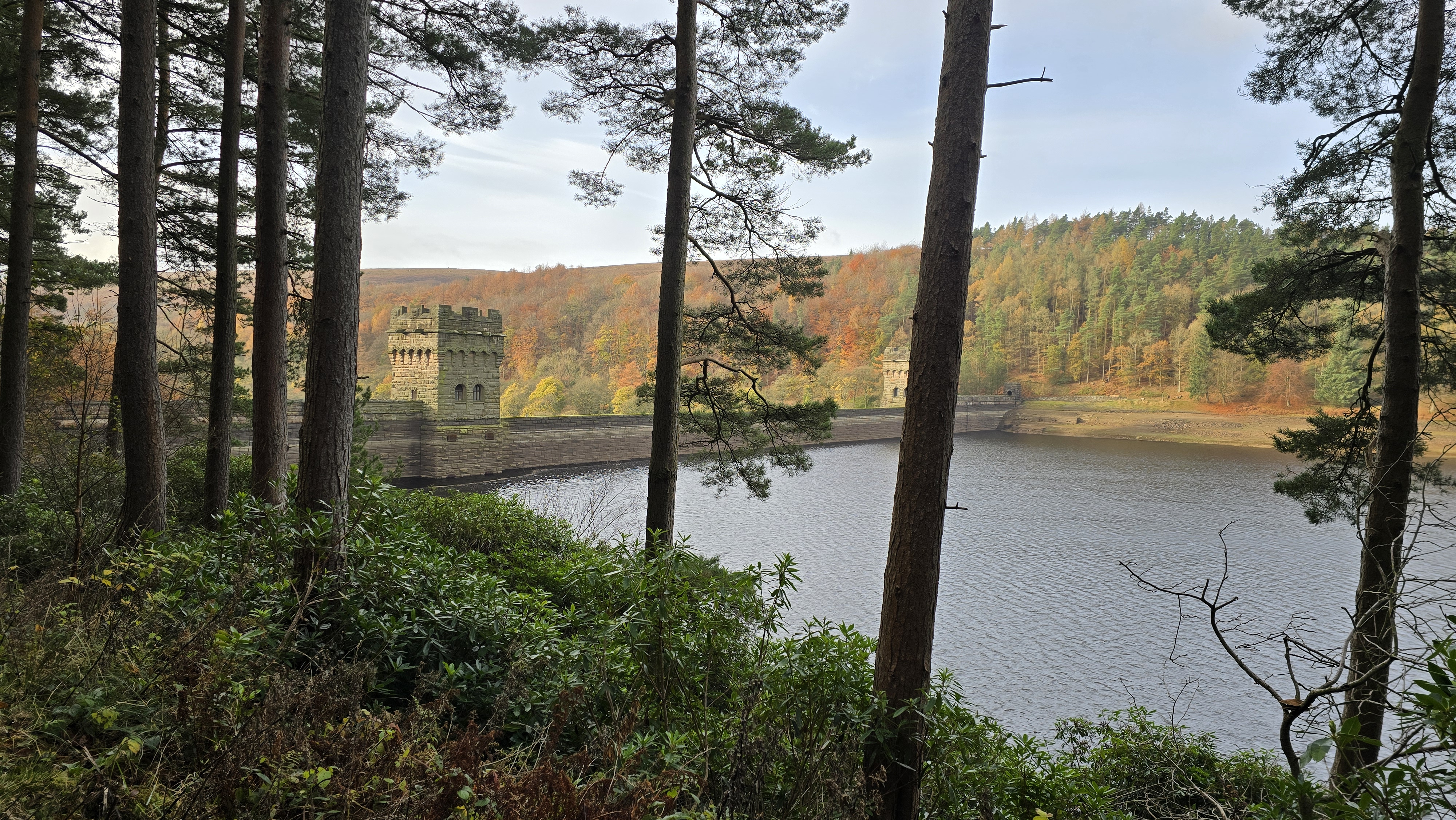
Howden Dam before the climbing.
©gritstoneedge.co.uk
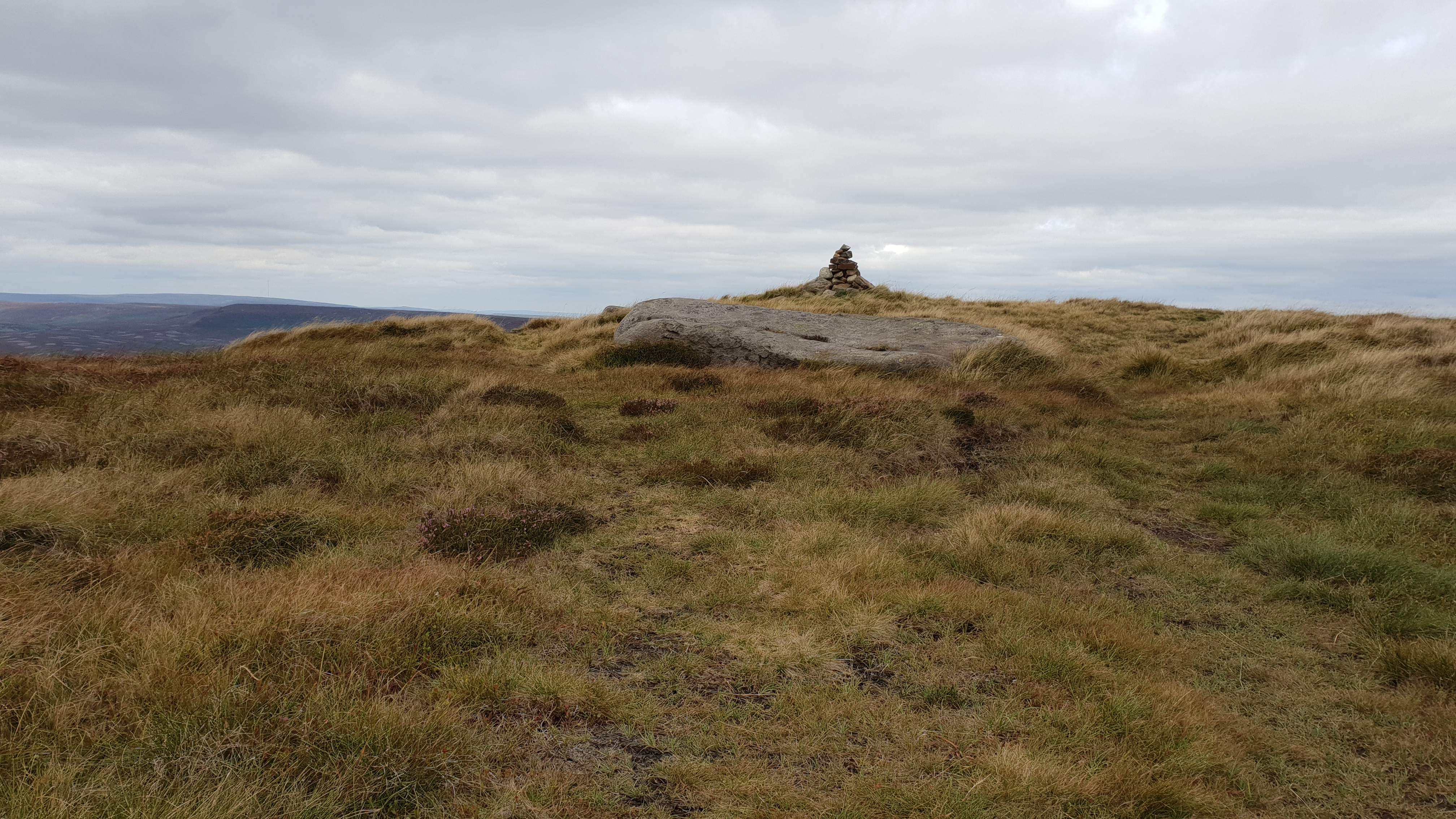
High Stones cairn pre 2024
©gritstoneedge.co.uk
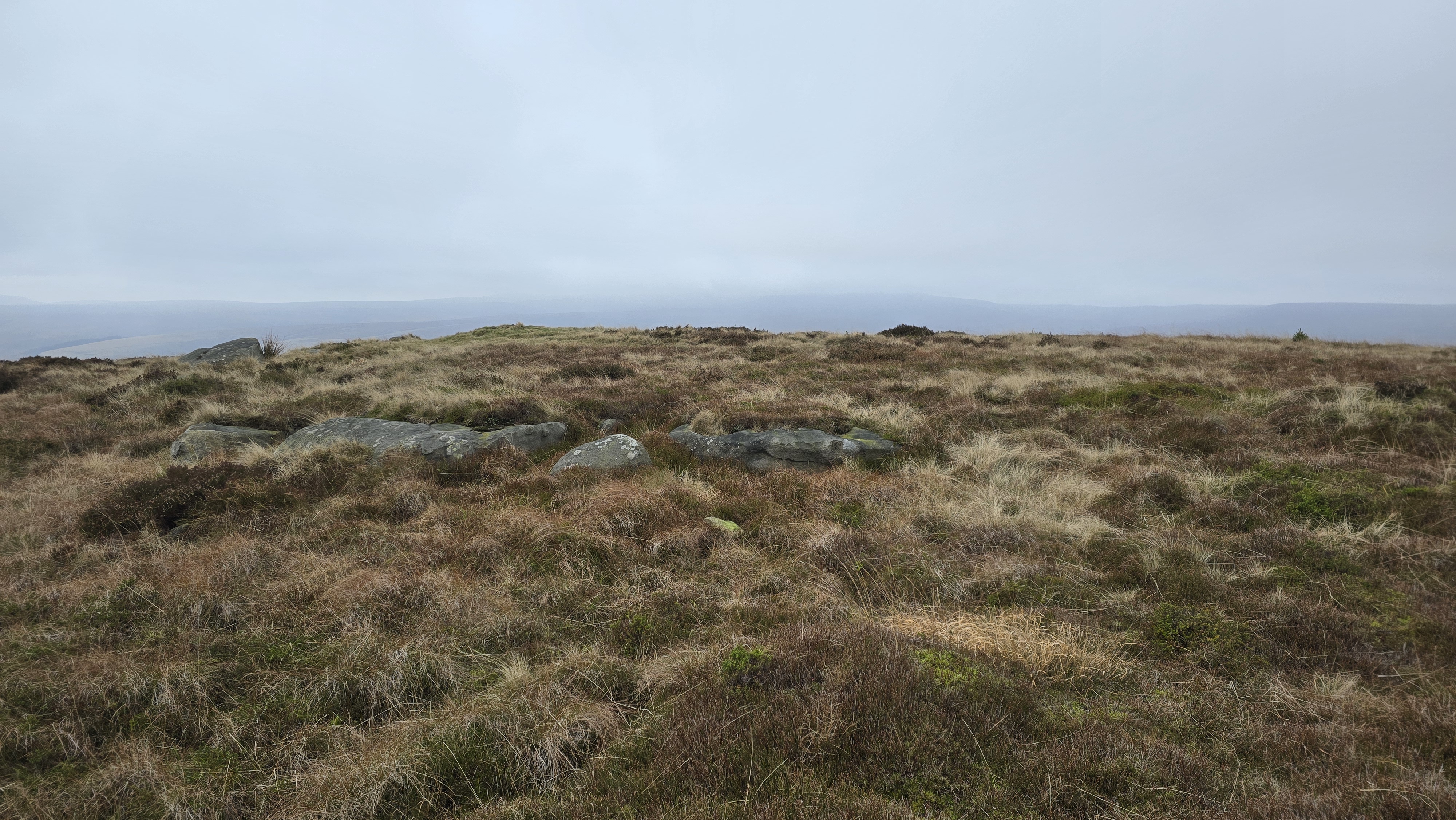
High Stones cairn post 2024
©gritstoneedge.co.uk
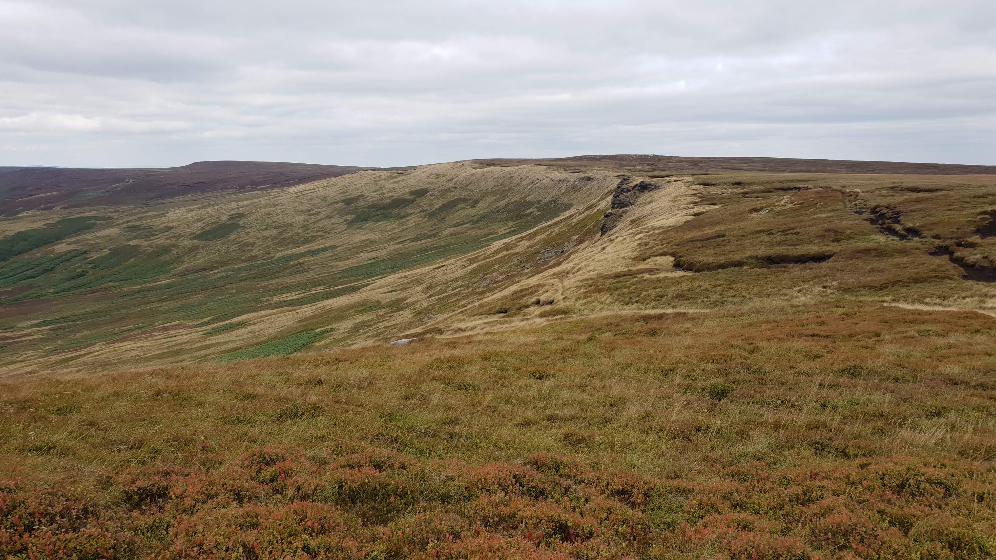
Looking north to Margery Hill
©gritstoneedge.co.uk
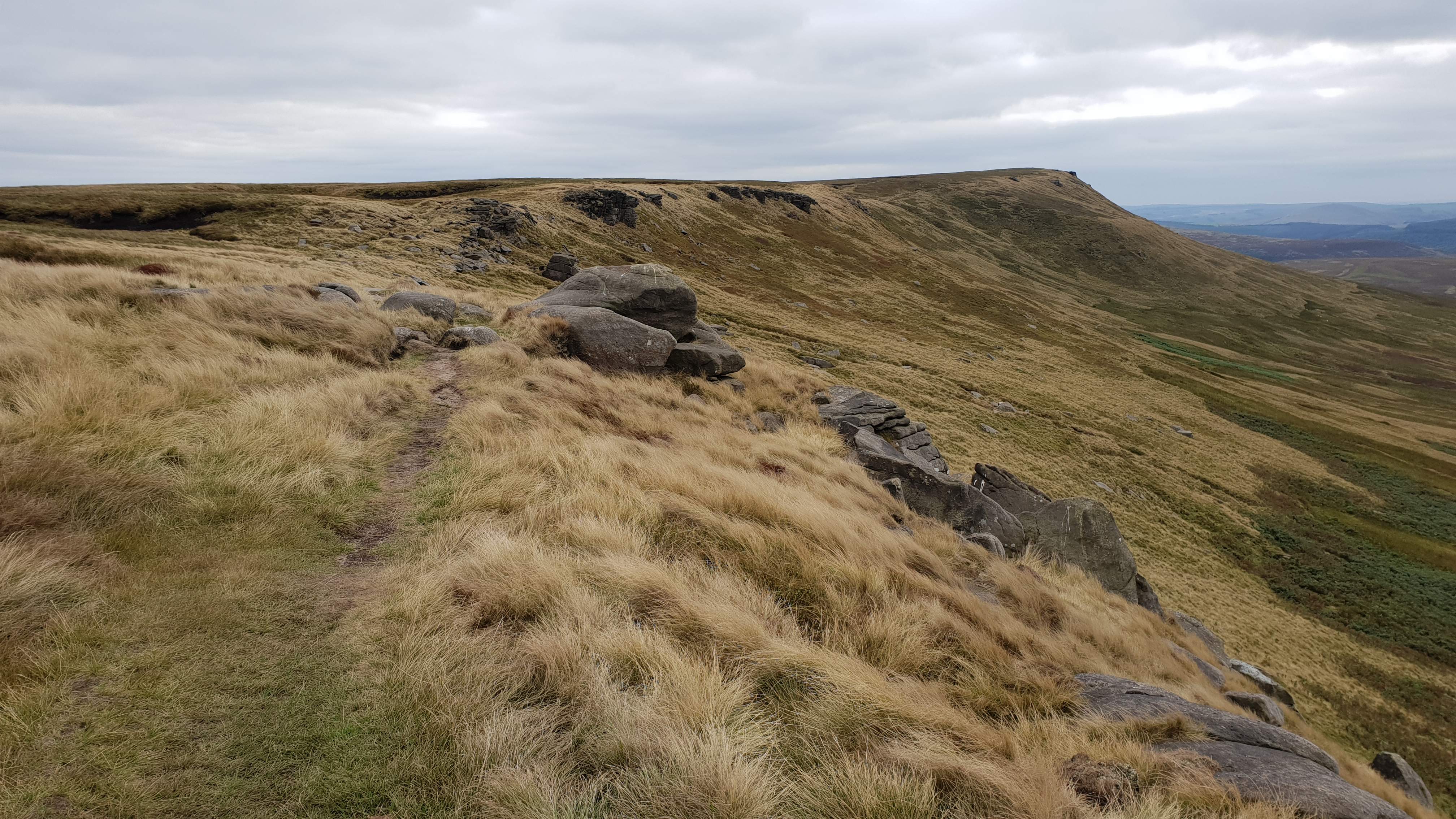
Looking back from Margery Hill
©gritstoneedge.co.uk
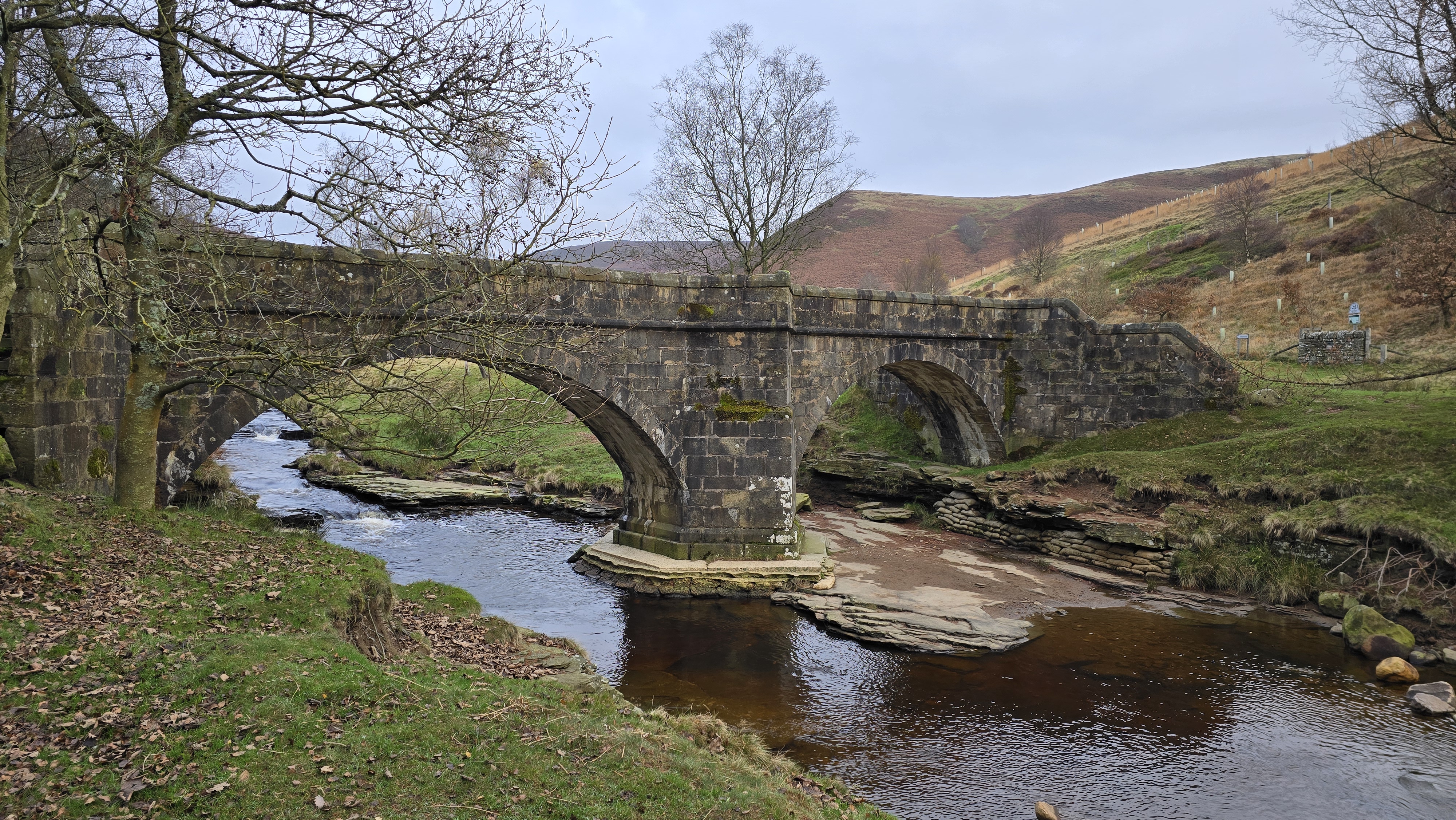
Pack Horse Bridge at Slippery Stones.
©gritstoneedge.co.uk
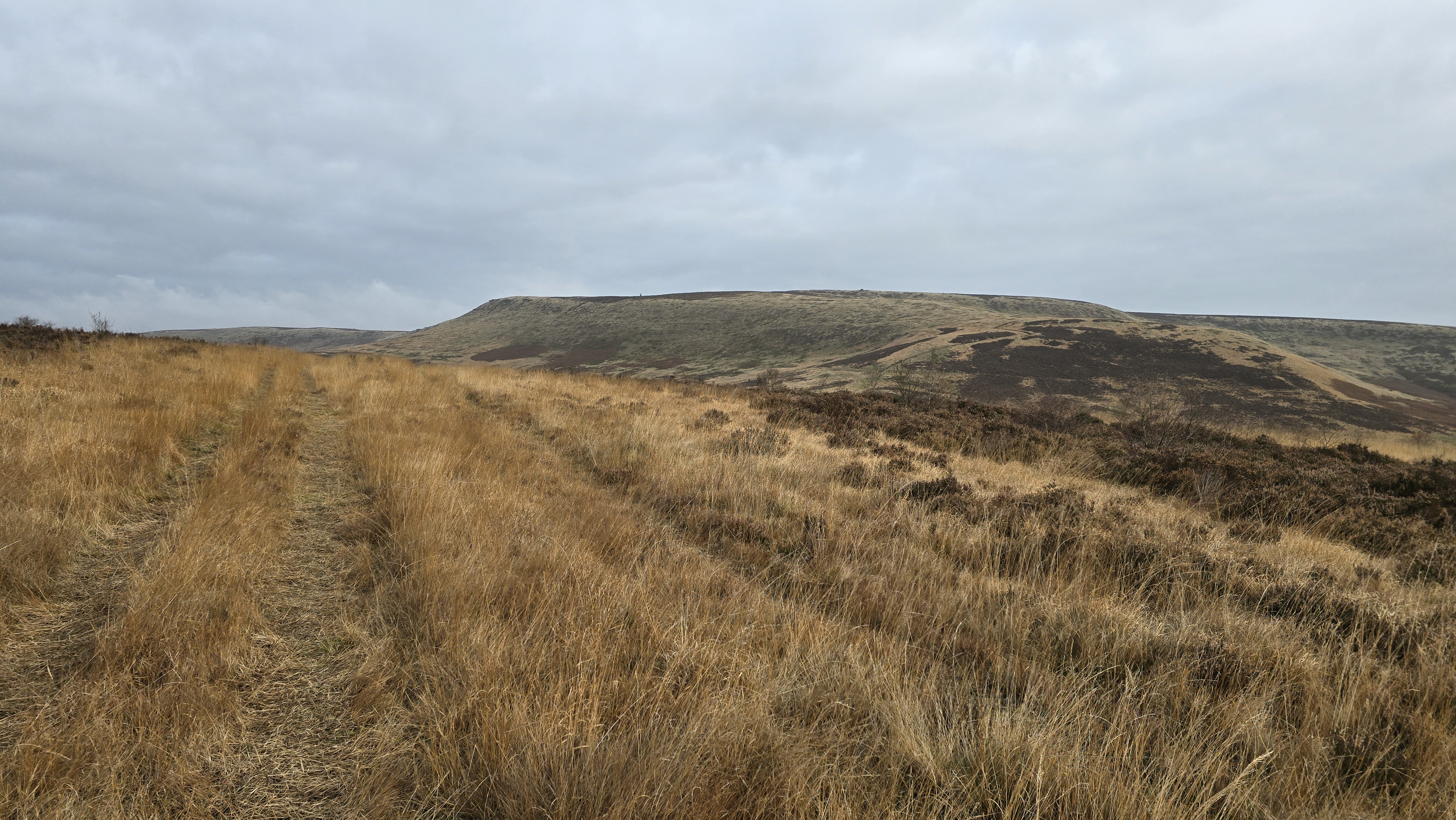
Towards High Stones on way up.
©gritstoneedge.co.uk
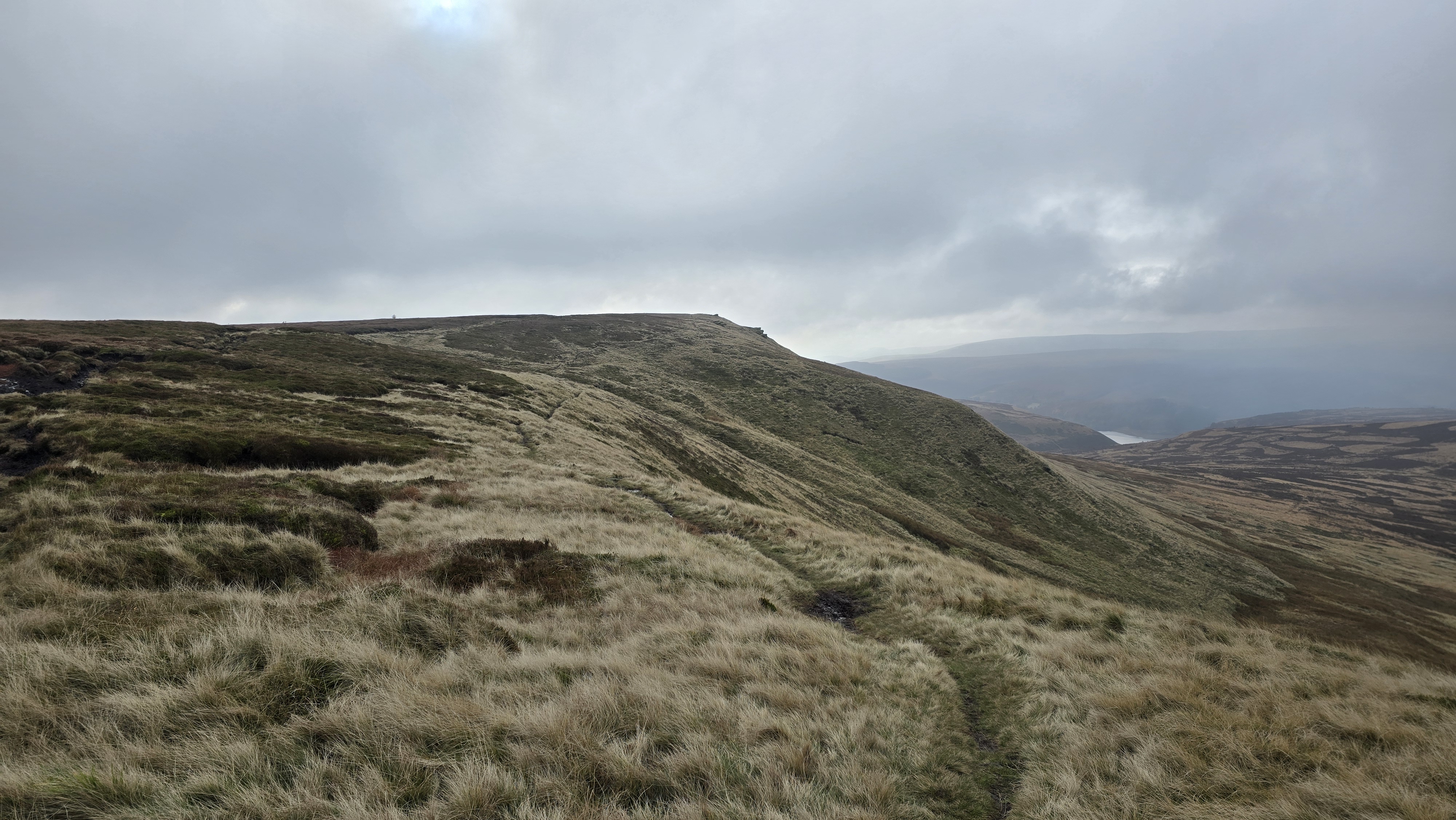
Looking back to High Stones
©gritstoneedge.co.uk
Kings Tree is the name given to the tree at the small roundabout at the end of the road. From here, walk through the gate and then 2km up the track to reach the bridge over the river at Slippery Stones. Cross this bridge and continue another 100m to reach the path that doubles back on the east side of the reservoir. Follow this track around Howden reservoir to the dam. Just past the dam and before the entrance to Abbey Clough, there is a track heading north east and uphill. Follow this grassy track up through the trees and onto the open moor. The track skirts around the summit of Nether Hey before descending slightly. High Stones is hidden from the walker for most of this route. The stones that are visible here on the ascent are Wet Stones, Follow the track north uphill and along the ridge to reach the high point that is High Stones. The summit was marked by a pile of stones but as of 12th November 2024, these have been removed (kicked over?) and there is nothing marking the true summit. From the summit there are good views of Kinder around to Bleaklow and over much of South Yorkshire. (7.5kms. 280m. 2hrs. 50min.)
From the summit there is a path around the edge, variously called Howden Edge and Wilfrey Edge. Nearing Margery Hill and after a short descent a fence is reached. Turn right, east, and follow the fence line to the trig marking the summit of Margery Hill. There is a distinct but maybe wet path north from Margery Hill to the Cut Gate path. Follow this path as best you can. The Cut Gate path is well define, and rocky. Follow the Cut Gate Path west to descend to the Upper Derwent Valley. Once at the main Upper Derwent track turn left, south to cross the river again at Slippery stones and then retrace your steps along the track to Kings Tree, (5.0kms. 50m. 1hrs. 40min.)
About gritsoneedge.co.uk:
This site includes many walking routes over the Peak District including the Eastern Edges, Kinder and Bleaklow. There are some great days to be had when walking in this area in all seasons. Safe to say we have experienced some really terific conditions as well as some wild days. Each provides an experience not to be missed.
The aim of this site is to provide a "modern" guidebook, a mobile phone friendly online guide. View this site on your mobile phone. Take this with you when walking and you will be able to follow the routes. However do not rely on this; mobile phone reception is not ubiquitous throughout the Peaks. Make sure you take a map and compass and the ability to us them as well.





Disclaimer :This site has links to many adventures in the outdoors, walking or cycling in hills and moors, within the UK. These can be dangerous activities. Conditions can change rapidly in the outdoors. The information and links provided on this site is given in good faith. gritstoneedge.co.uk cannot be held responsible for any loss or injury caused by encouraging you into the outdoors of by the accuracy of the information provided on this site.
© gritstoneedge.co.uk all rights reserved 2015-2026