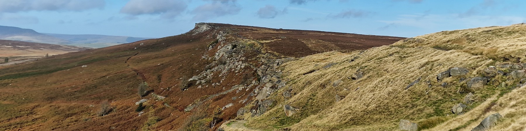
Stanage Edge From Redmires
Stanage Edge From Redmires
| OS Map : | 110 |
| Start : | Redmires Car Park |
| SK257851 | |
| 351 | |
| Take redmires road up to Lodge Moor and then beyond to Redmires Reservoir. There is a car park on the north side the the upper Redmires Reservoir. Muddy but free. | |
| Summary : | Redmires Reservoir Car Park - Oaking Clough - Reservoir - Stanage Edge - High Neb - Roman Road - Redmires Reservoir - Car Park |
| distance : | 10.0km. |
| ascent : | 150m. |
| time : | 3hr. 10min. |
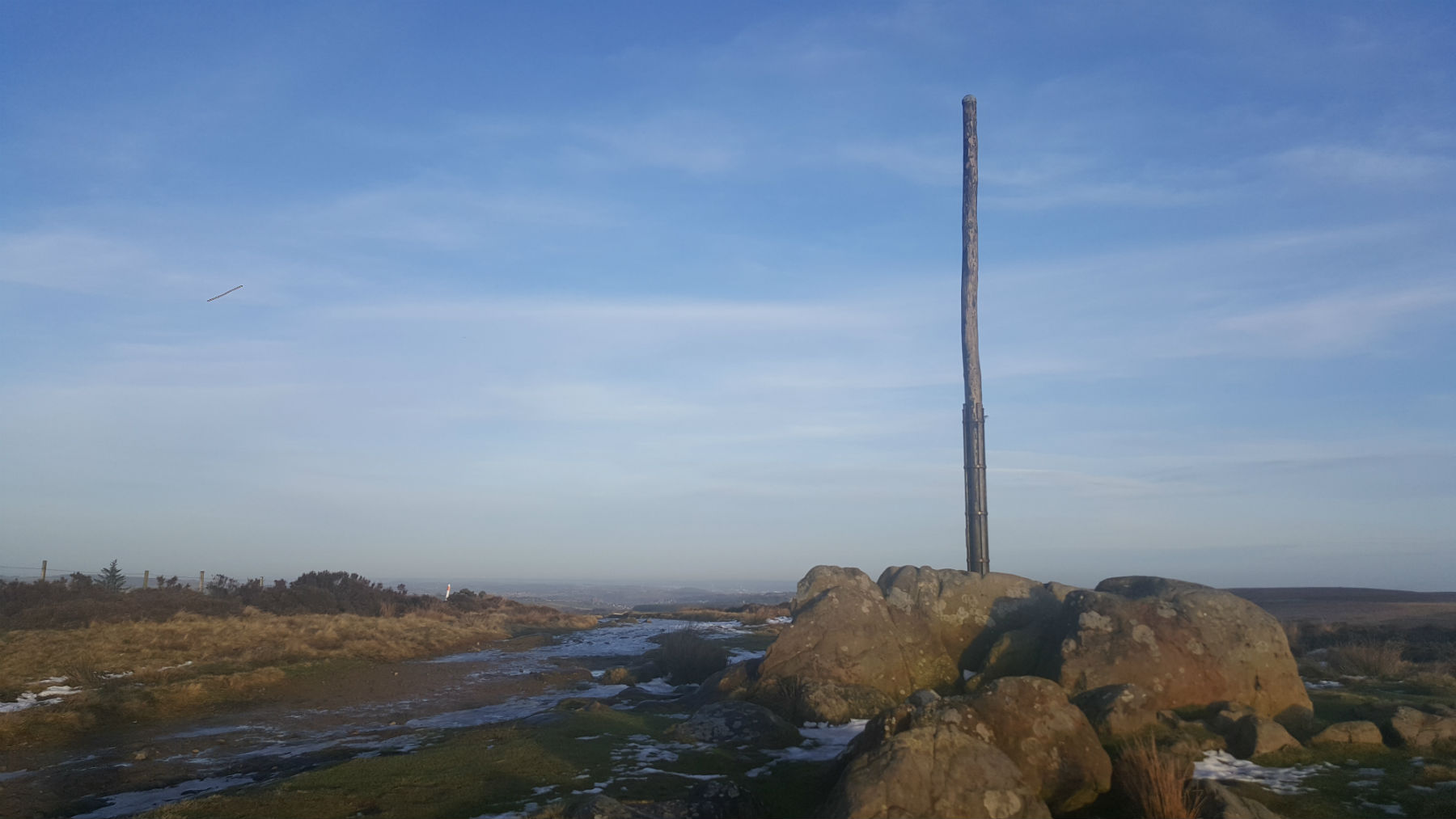
Stanage Pole and Sheffield
©gritstoneedge.co.uk
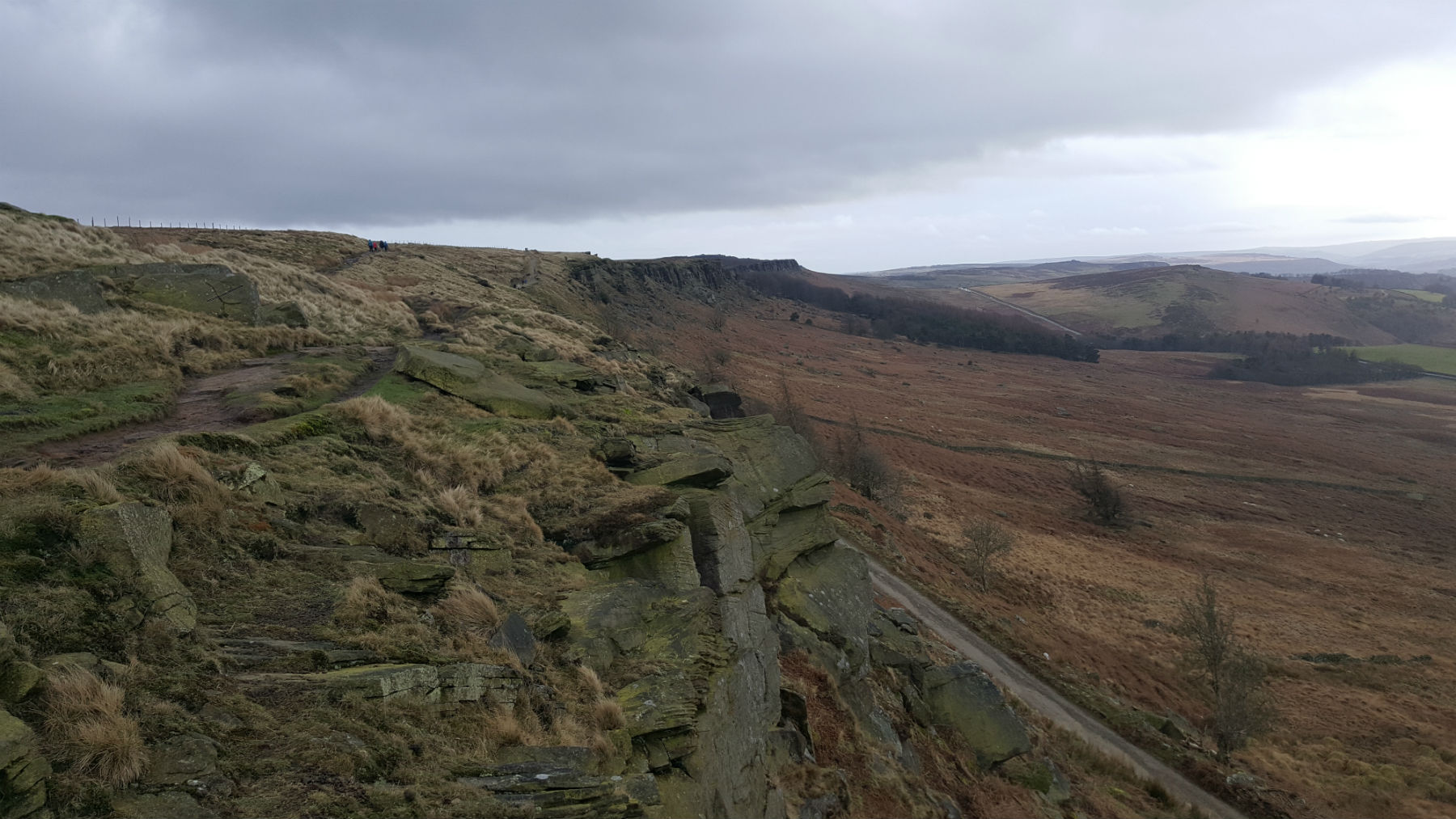
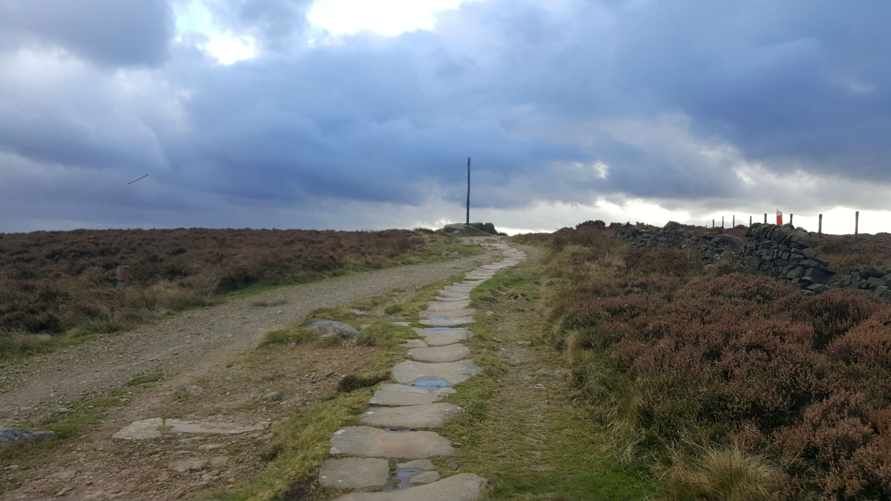
South along Stanage with Roman Road.
©gritstoneedge.co.uk
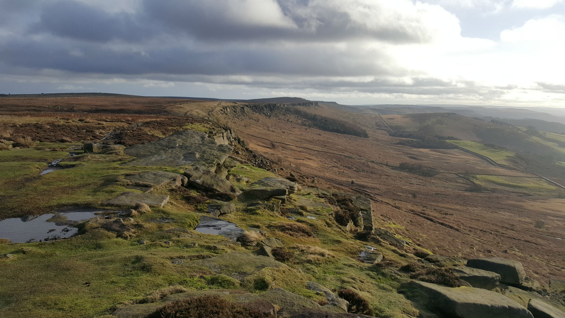
StanageView South
©gritstoneedge.co.uk
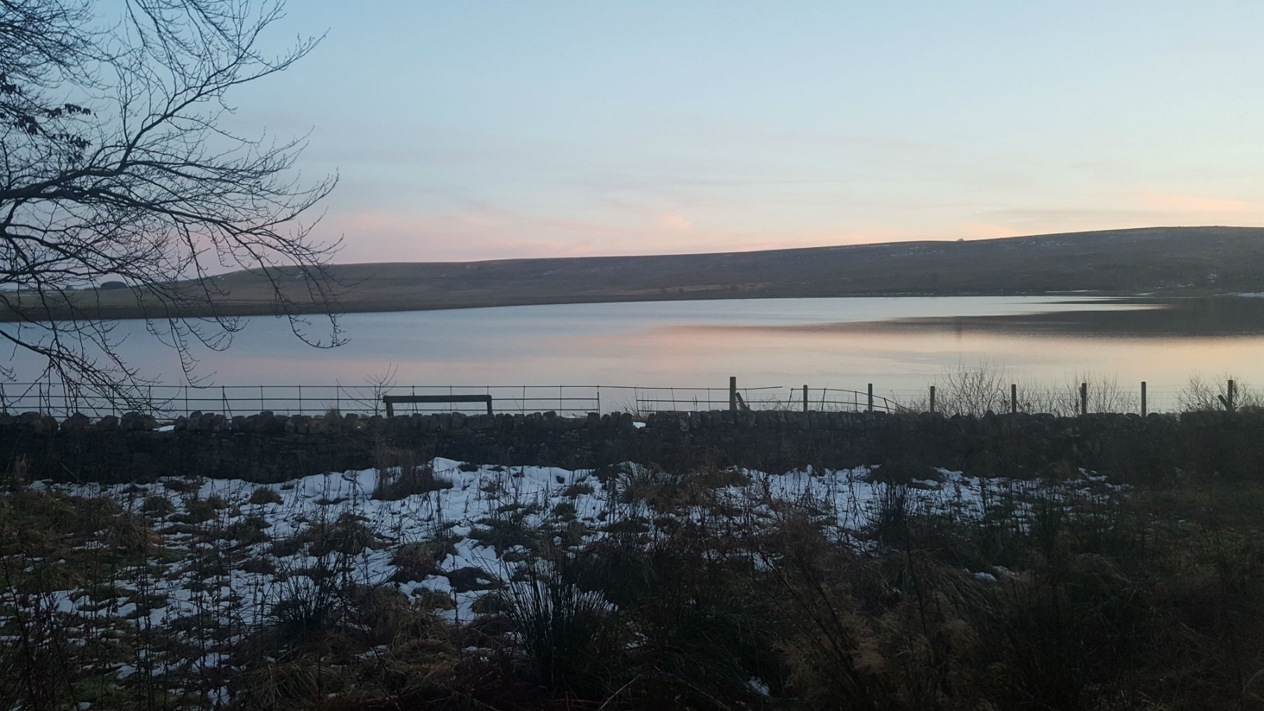
Redmires Reservoir
©gritstoneedge.co.uk
Road back to Redmires
©gritstoneedge.co.uk
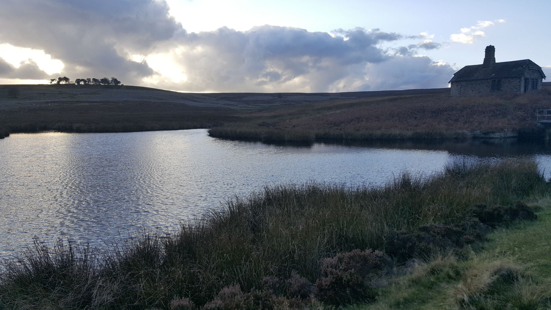
Small reservoir by Rivelin Brook
©gritstoneedge.co.uk
Sheffield
Current Weather
Last Updated today at : 04:02:36
| Overall : | scattered clouds |
| Temperature : | 17degC. |
| Wind Speed : | 10km/hr. |
| Wind Direction : | SSW |
| Clouds : | scattered clouds |
| Precipitation : | none |
| Sunrise : | 03:39:22 |
| Sunset : | 20:38:11 |
| : | Times are GMT add 1 hour for BST |
Data from openweathermap.org
The proximity to Sheffield is a great draw for this route. Rather than use the car it is possible to get the 51 bus to the terminus; but it does make the route longer. Hallam Moor does not have any paths marked on the maps but there is the odd sheep track. The moor is very boggy so this route only makes sense in dry condition (or frozen!). Once over Hallam Moor there is a surprise view down the hope Valley and along Stanage Edge.