Margery Hill from Langsett
| OS Map : | 110 |
| Start : | Langsett Barn |
| SE211004 | |
| 270 | |
| The Peak Park centre has a large car park close to the Yorkshire Water reservoir. | |
| Summary : | Langsett Barn - Crookland Wood - Cut Gate - Howden Edge - Margery Hill - Outer Edge - Cat Cloughs Head - Near Cat Clough - Hordron - Langsett Barn |
| distance : | 15.0km. |
| ascent : | 370m. |
| time : | 5hr. 10min. |
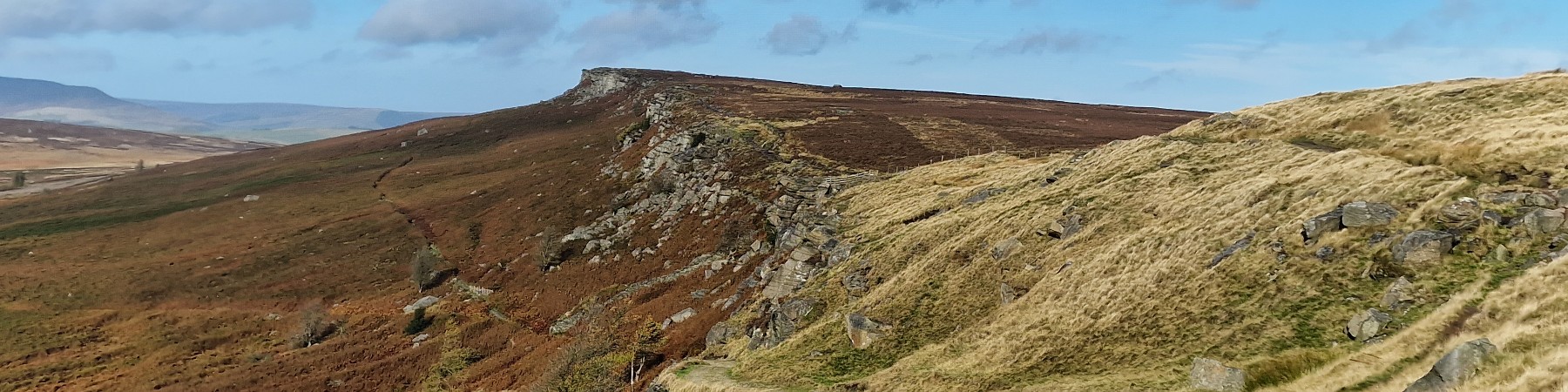
Over the moors to Margery Hill
©gritstoneedge.co.uk
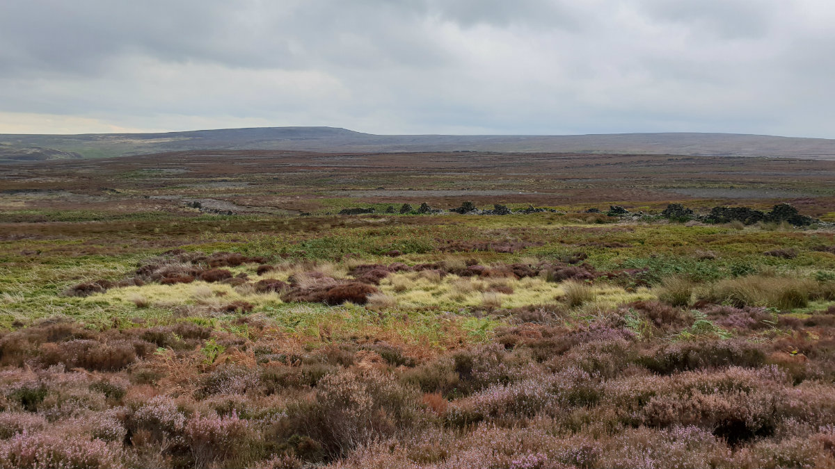
View over South Yorkshire
©gritstoneedge.co.uk
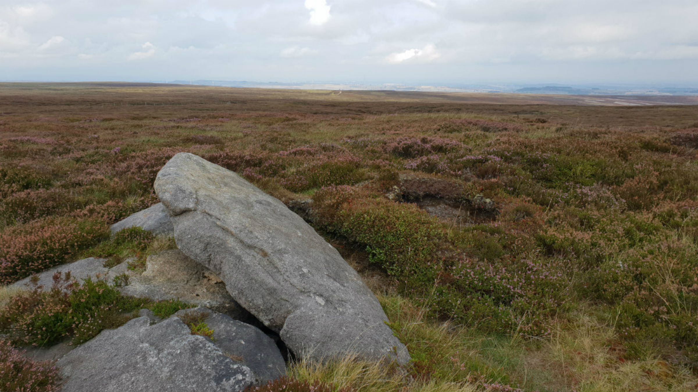
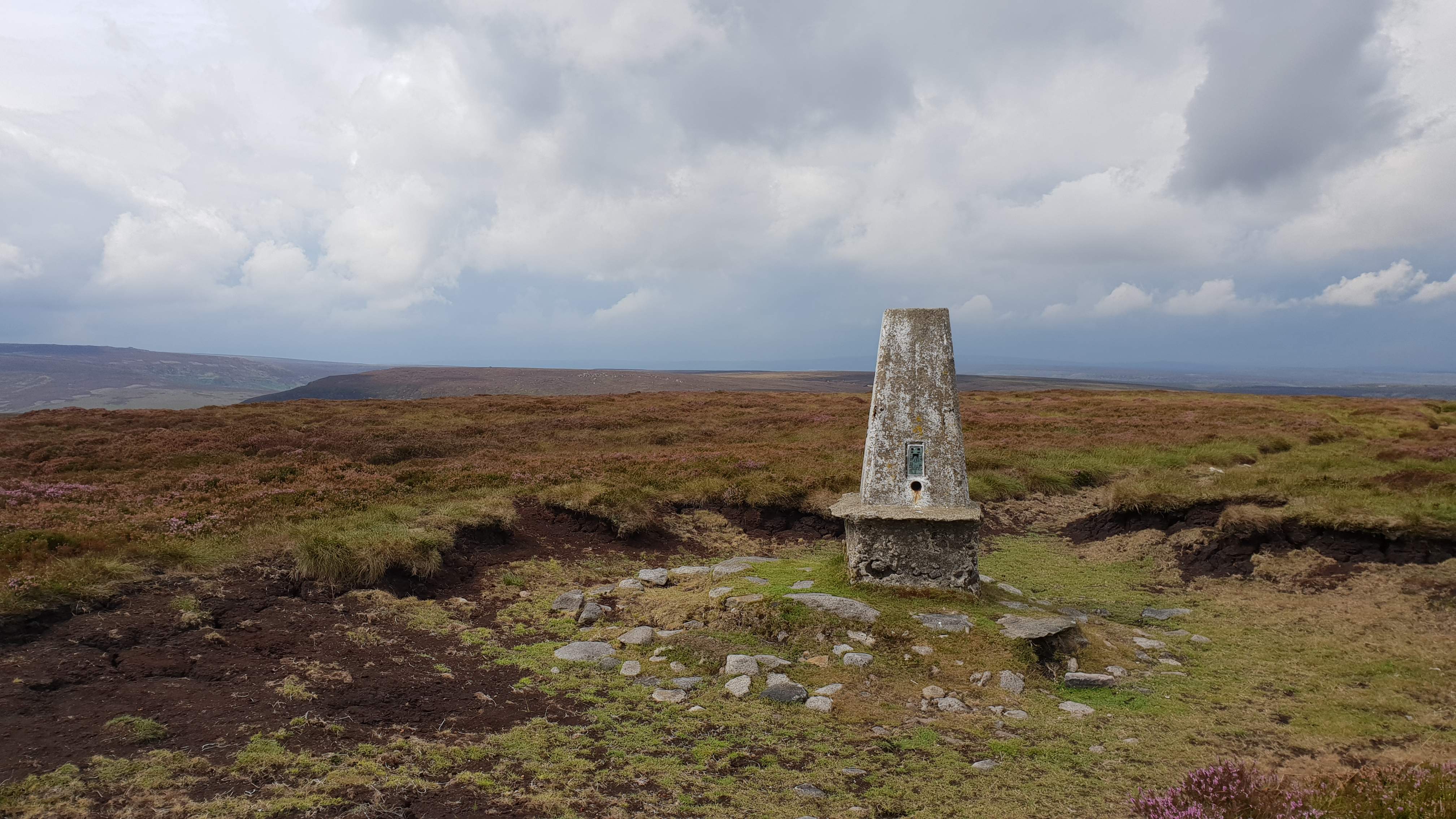
Margery Hill Summit
©gritstoneedge.co.uk
North from Margery Hill
©gritstoneedge.co.uk
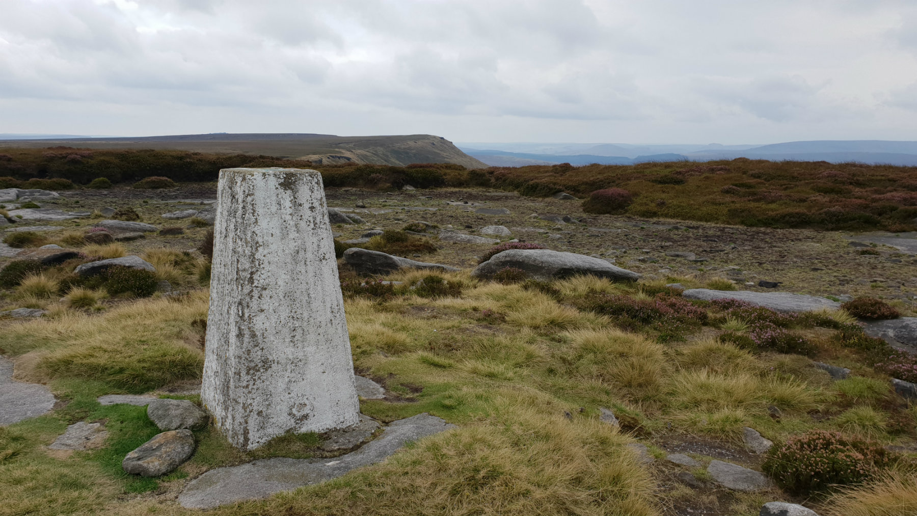
Outer edge Trig Point
©gritstoneedge.co.uk
View up Laund Clough
©gritstoneedge.co.uk
edale
Current Weather
Last Updated today at : 04:04:12
| Overall : | broken clouds |
| Temperature : | 15degC. |
| Wind Speed : | 10km/hr. |
| Wind Direction : | SSW |
| Clouds : | broken clouds |
| Precipitation : | none |
| Sunrise : | 03:40:52 |
| Sunset : | 20:39:30 |
| : | Times are GMT add 1 hour for BST |
Data from openweathermap.org
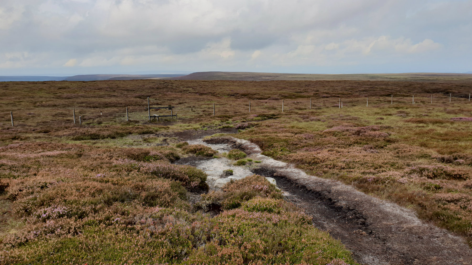
There is a sense of remoteness in this area of the Peak District. Away from the paths the moors can be challenging with the areas of heather, bracken and in particular peat. But the challenge is worth it with a great day out in the moors. The Woodhead pass is to the north and it seems perculiar to see the lorries pass over the distant moor on their way from Yorkshire to Manchester. Cut gate is an old track climbing high over hills originaly used for travelling from South Yorkshire to Derbyshire. This route starts of up Cut Gate climbing to the top of the moors.
From the car park follow the marked paths around the north of the reservoir. A bridge crosses the river leading to Cut Gate. The route goes 100m east then back west before openning out to a wide track climbin out of the valley in a southerly direction. The path is followed through the many truns to the summit at Howden Edge. There is a wide vista from Cut Gate north and over to the east over to Barnsley and South Yorkshire. There is a small path left (SE) which is followed to Margery Hill. The summit itself is contained in a fenced enclosure. Cross the fence by the stile to reach the trig point and the view down the Derwent Valley and over Bleaklow. (7.0kms. 300m. 2hrs. 40min.)
From the summit of Margery hill retrace the path back to Cut Gate. Continue in this general direction to Outer Edge. There is a path here which is more noticeable in drier weather. In wet weather there is likely to be many deviations away from peat groughs. There is a trig point at Outer Edge with views of the moors that we have visited and are about to visit. weather. (2.0kms. 20m. 0hrs. 40min.)
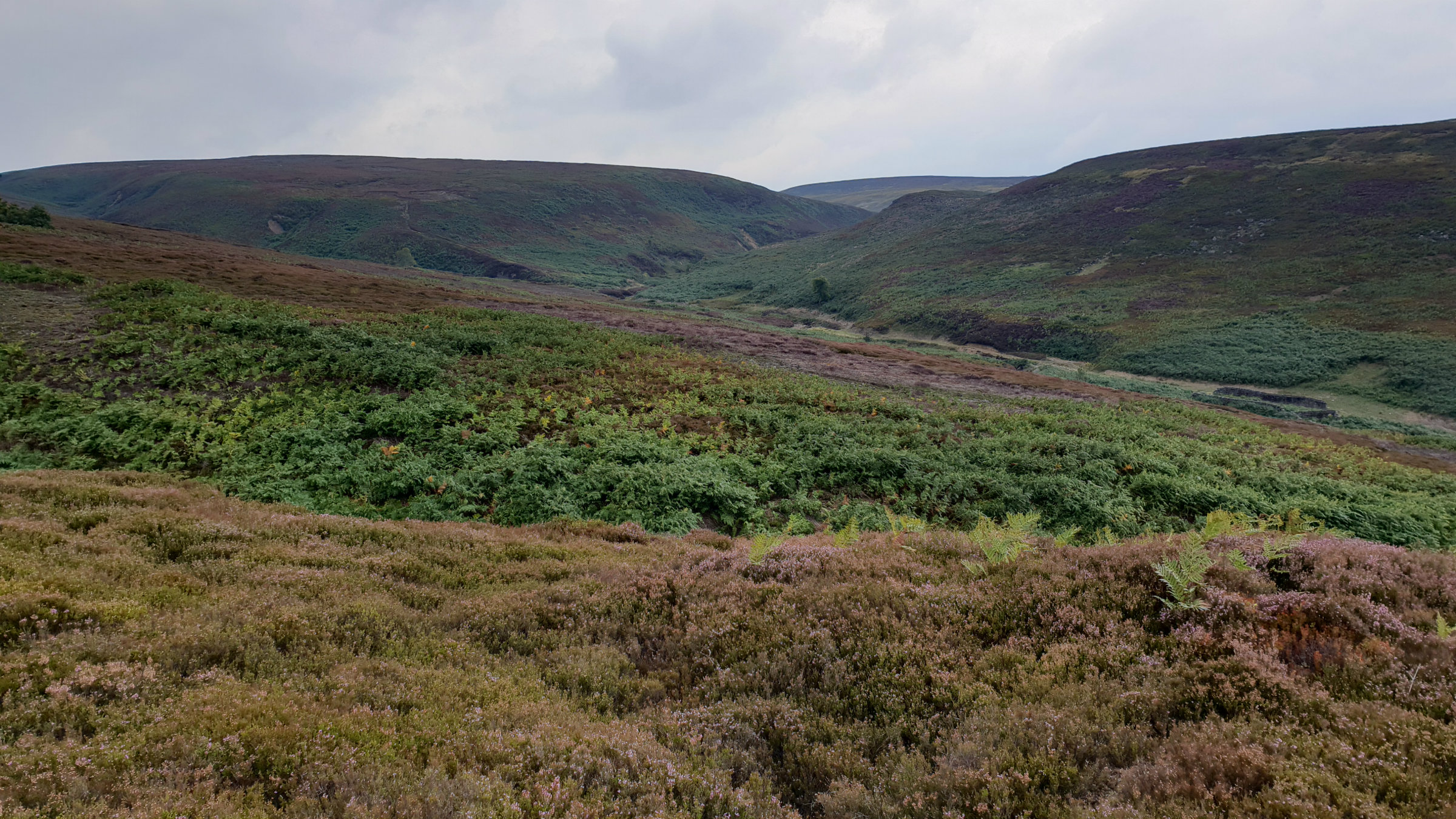
Continue in the same general direction on the path to Cat Clough Head. At the top of Near Cat Clough ,SK973908, there is a thin path down the clough itself. This path descends the east side of the clough down the line of the shooting biutts, to reach the bridge over the stream. Follow the track up to Upper Hordron and then onto Hordron. Follow the path along the direction of the Porter river and then through the trees to reach Crooklands Wood. Either follow the upper or lower path through the trees to reach the car park. (6.0kms. 50m. 1hrs. 50min.)
 My Blog
© gritstoneedge.co.uk all rights reserved 2015-2026