Hallam and Burbage Moor.
Hallam and Burbage Moor.
| OS Map : | 110 |
| Start : | Car Park - Redmires Car Park |
| SK257851 | |
| 350 | |
| Take Redmires Road up to Lodge Moor and then beyond to Redmires Reservoir. There is a car park on the north side the the upper Redmires Reservoir. Muddy but free. | |
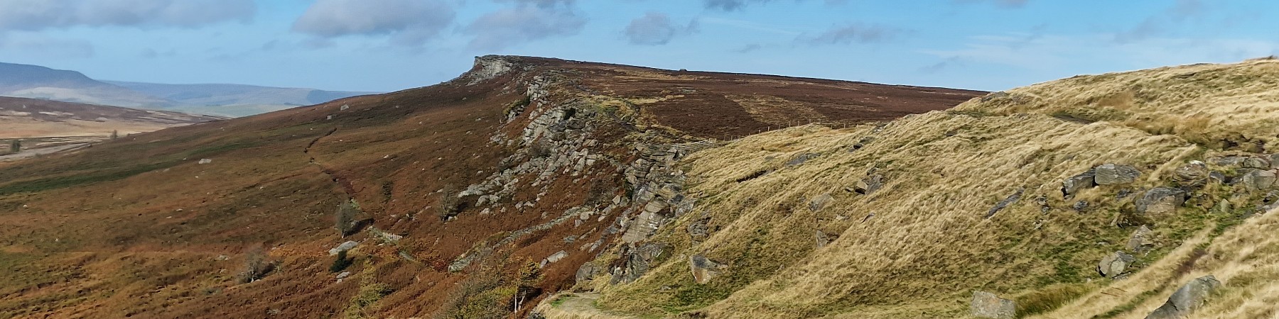
| Summary : | Redmires Reservoir - Stanage Pole - Stanage Edge - Burbage Bridge - Houndkirk Moor - Lady Canning Plantation - Rud Hill - Redmires Reservoir |
| distance : | 12.0km. |
| ascent : | 150m. |
| time : | 3hr. 50min. |
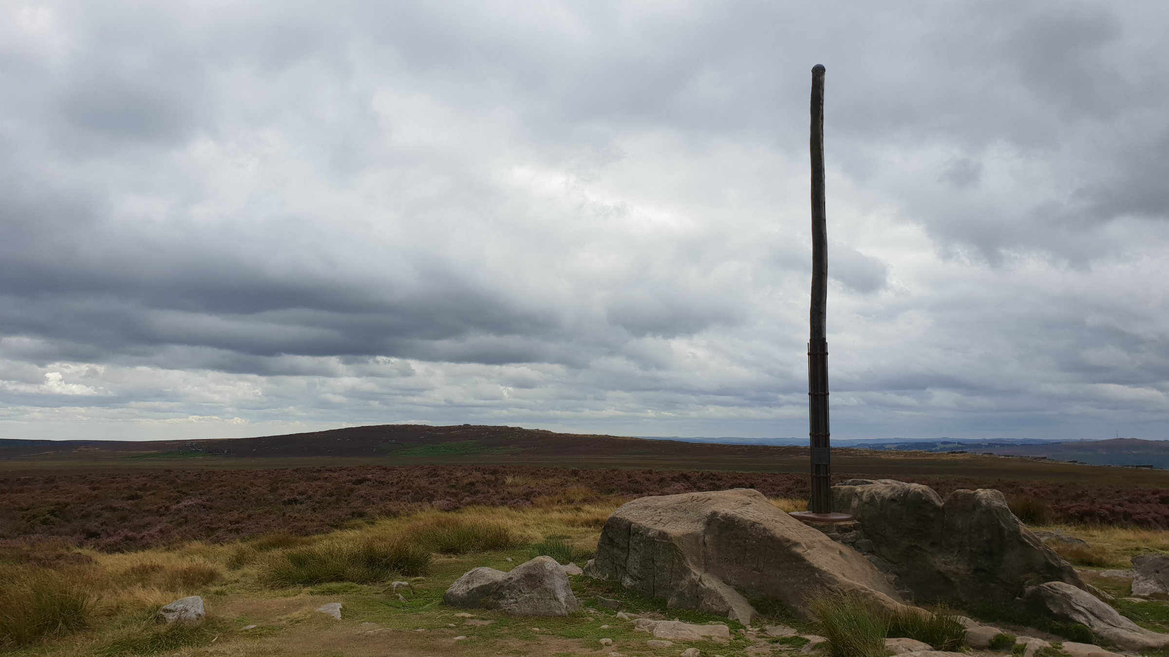
Stanage Pole
©gritstoneedge.co.uk
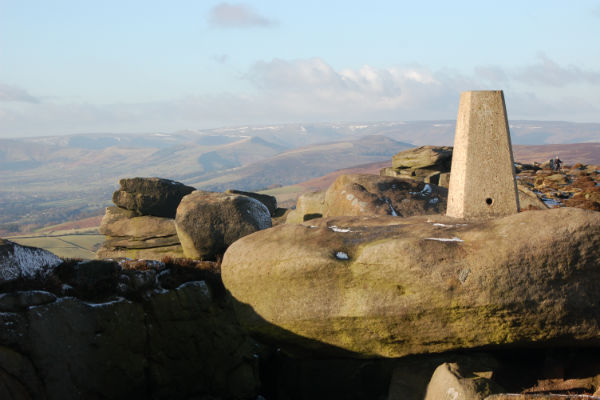
Summit trig .457
©gritstoneedge.co.uk
Burbage Bridge.
©gritstoneedge.co.uk
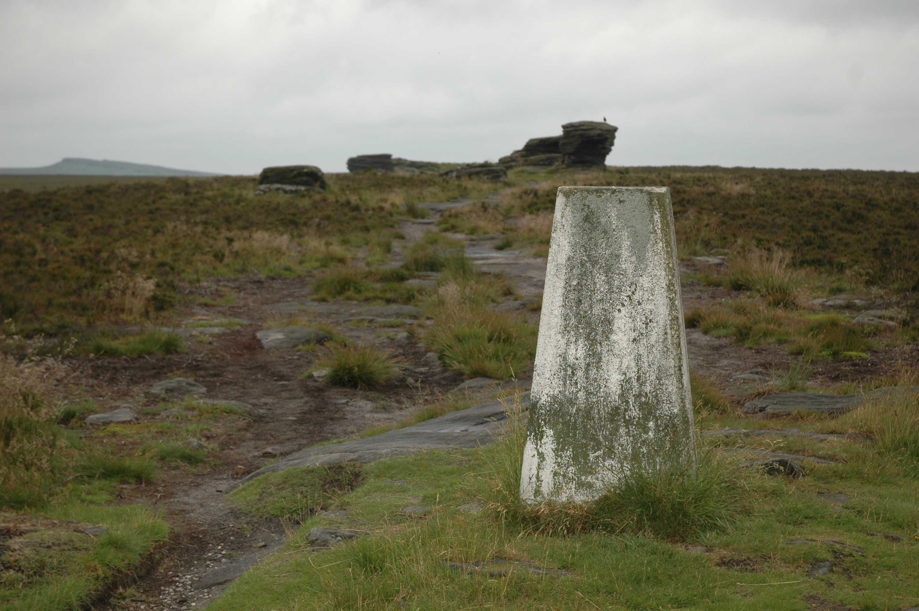
Ox Stones trig
©gritstoneedge.co.uk
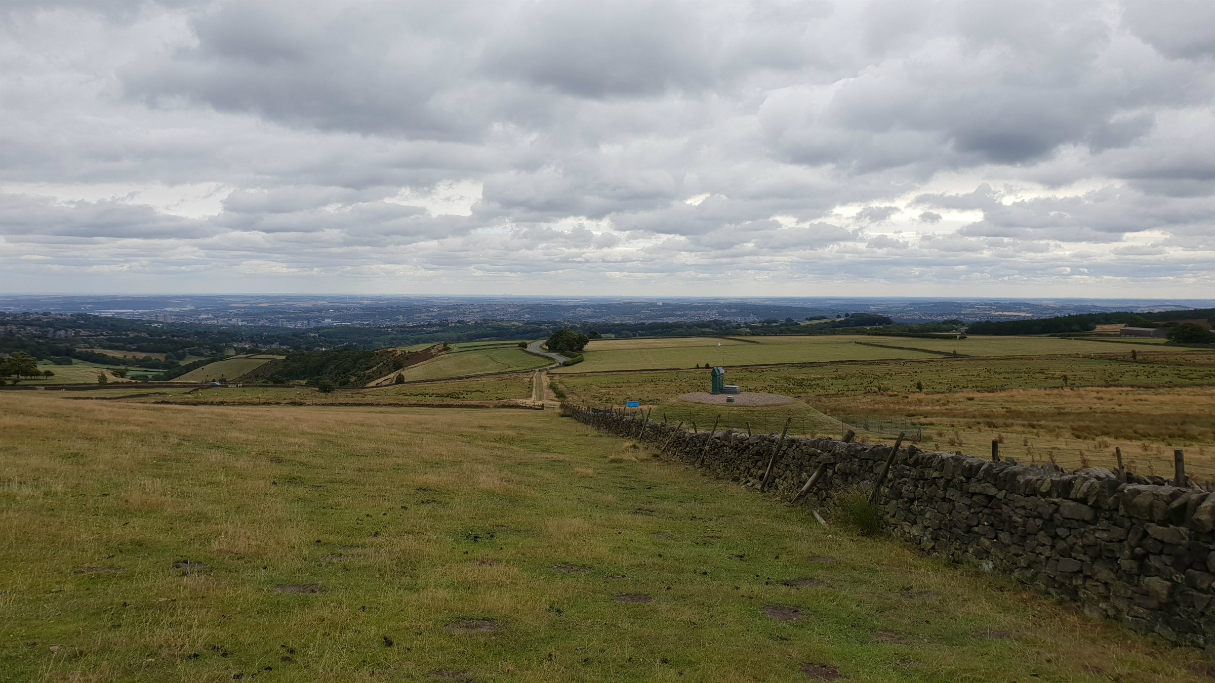
Look back from Rud Hill.
©gritstoneedge.co.uk
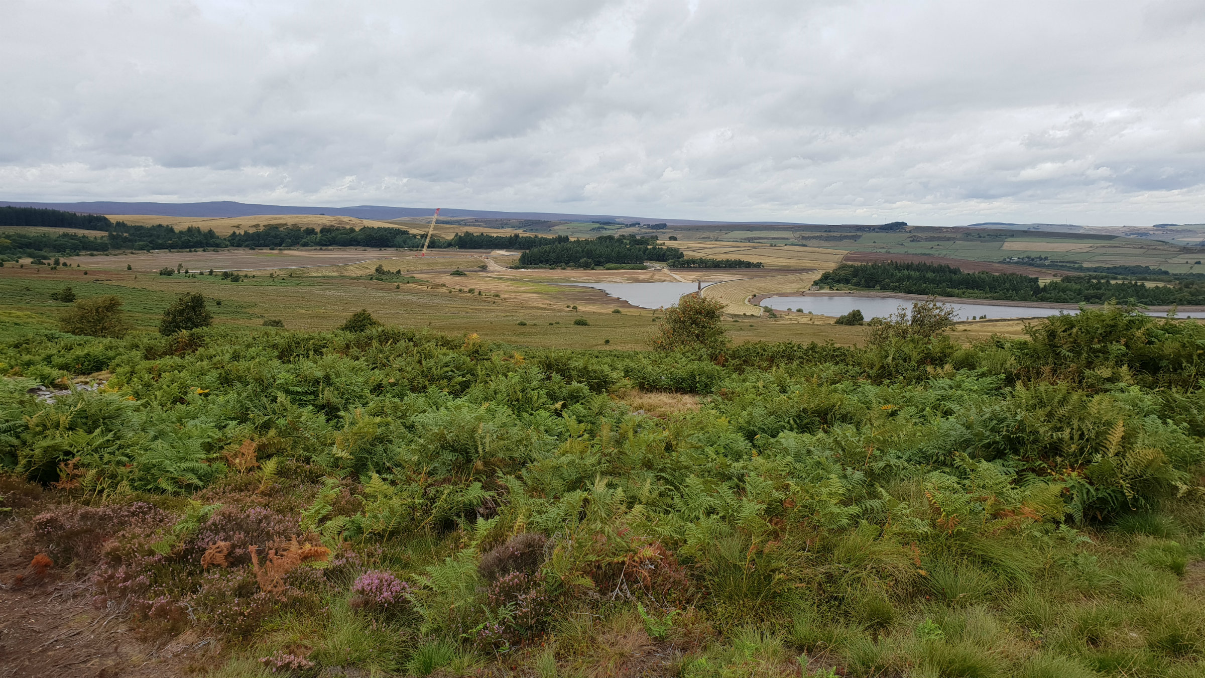
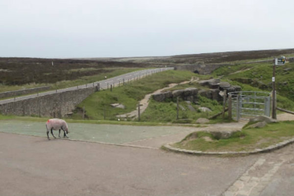
Redmires under repair
©gritstoneedge.co.uk
Sheffield
Current Weather
Last Updated today at : 04:02:36
| Overall : | scattered clouds |
| Temperature : | 17degC. |
| Wind Speed : | 10km/hr. |
| Wind Direction : | SSW |
| Clouds : | scattered clouds |
| Precipitation : | none |
| Sunrise : | 03:39:22 |
| Sunset : | 20:38:11 |
| : | Times are GMT add 1 hour for BST |
Data from openweathermap.org
Hallam and Burbage Moors are large tracts of typical Peak District moorland. The edges of the moor make for a good walk including, as it does, Stanage and Burbage edges. The views on the east of this walk are predominantly over to Sheffield; indicating the nearness of this city to open hillside. There are many variations on this walk not least there are a variety of starting places. It is possible to start at Lady Canning plantation, Burbage Bridge or Redmires as described here.