Podcasts Series 3 - Around Kinder
Kinder Scout is central in many ways to the walking in the Peak District. It does not matter where you start it is steep up then fantastic walking along the top of Kinder, with the many interesting places on the plateau. In addition there are walks to the lesser summits around the edge.
There are 8 episodes in series 3
- Win Hill
- Mam Tor
- Mill Hill
- Kinder East./li>
- Kinder South.
- Kinder Summits
- Kinder North
- Brown Knoll and Rushop.
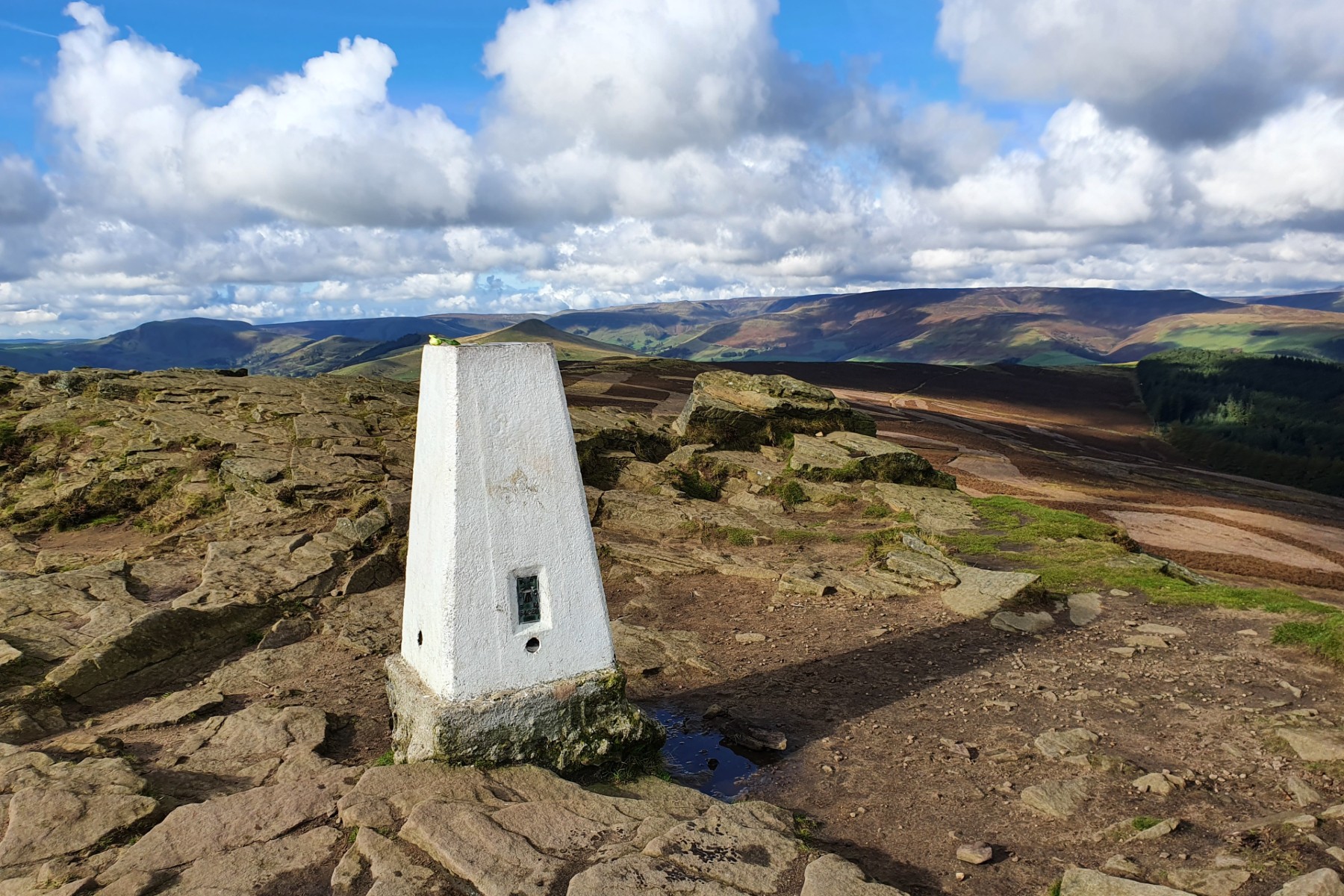
Trig Point and Kinder beyond.
Win Hill dominates the central Hope Valley above Bamford. It is noticeable from Stanage Edge, from Kinder and from the Hope Valley itself. There is a short steep climb up to the summit from Yorkshire Bridge before a pleasant walk along the ridge, Hope Brink, before descending to Ladybower Reservoir. It is then a good walk along the track around the reservoir back to the starting point.
Goto main Route Description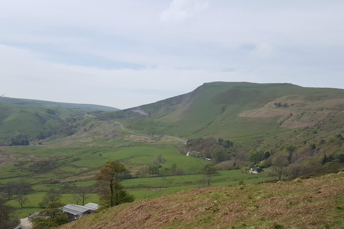
MamTor from Castleton Valley.
"The Great Ridge" is a name given to the Lose Hill, Back Tor, Mam Tor ridge that dominates the westerly part of the Hope Valley. This route climbs the ridge at the eastern edge and follows around the Castleton skyline going initially to Mam Tor and then down into Limestone country, through the fields, and finally down Cave Dale back to Castleton itself.
Goto main Route Description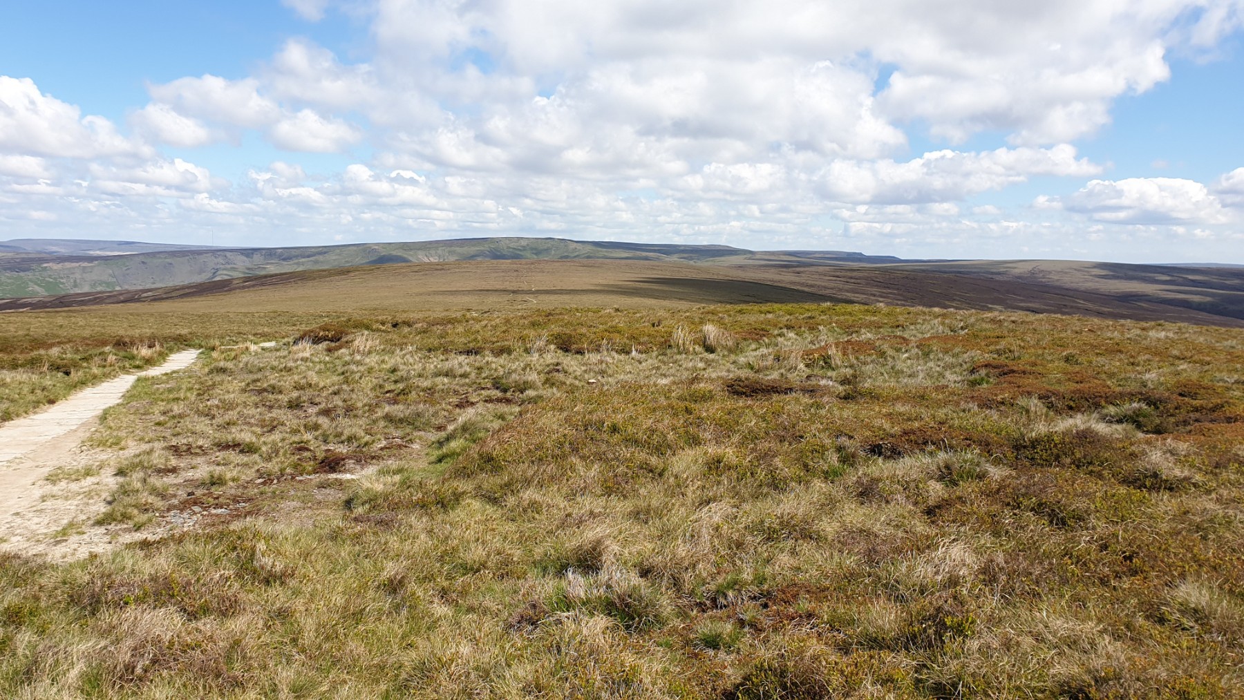
View back to Snake summit and Bleaklow beyond.
Mill Hill and Featherbed Moss are the high points of the rounded moors south of the A57 at Snake summit. These are paired with some interesting valley walking to give a route within the moors north of Kinder.
Goto main Route Description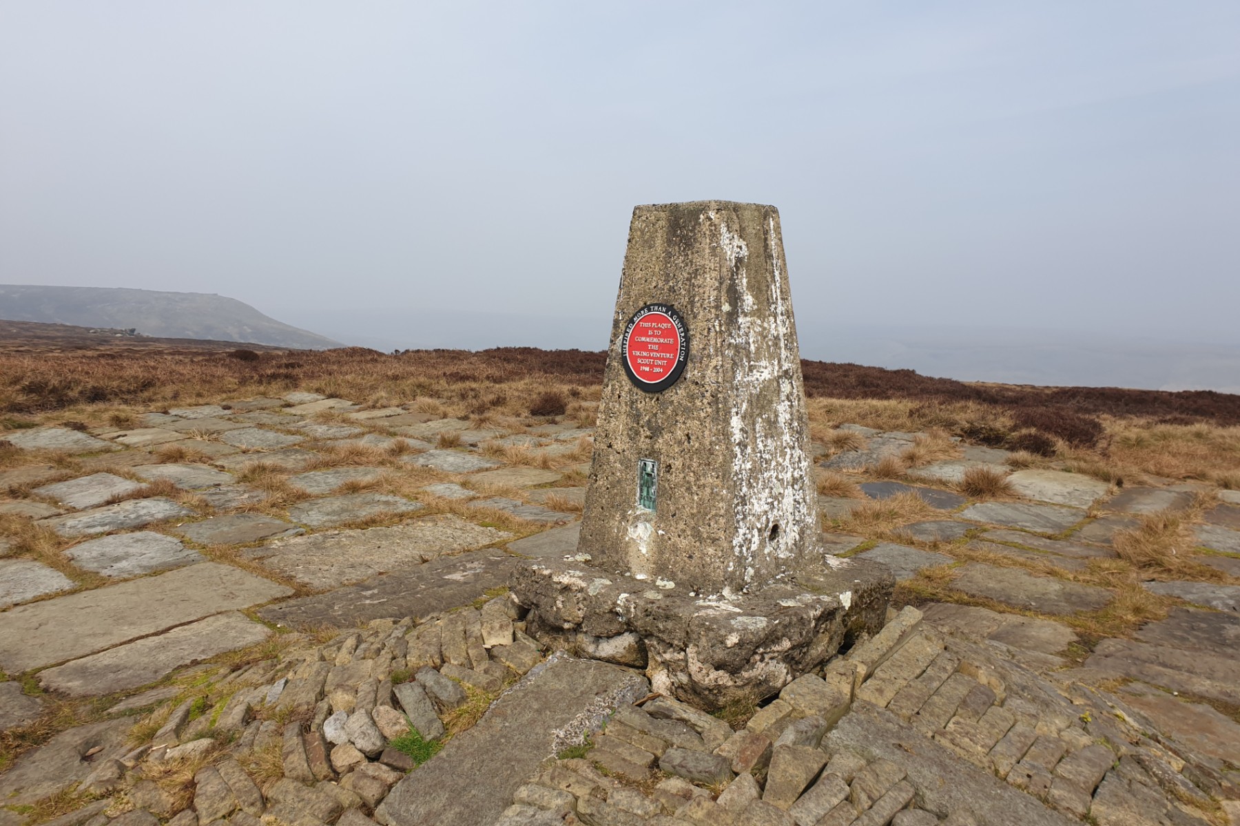
trig point at .590
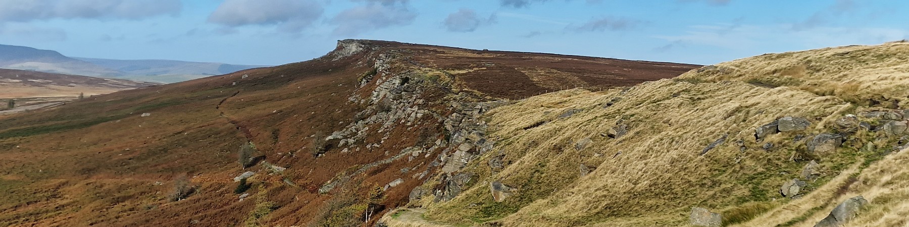
Kinder is a large and relatively flat plateau that dominates the northern part of the Peak District. It is justifiably popular. However this eastern aspect of the area is less popular and on many days the walker will be alone here. Views are of Win Hill, Lose Hill and Stanage Edge rather than over to the West and Manchester. A great place to get away from the crowds in this interesting part of Kinder. This route can be tacked from a number of starts. Here Edale is chosen as the start.
Goto main Route Description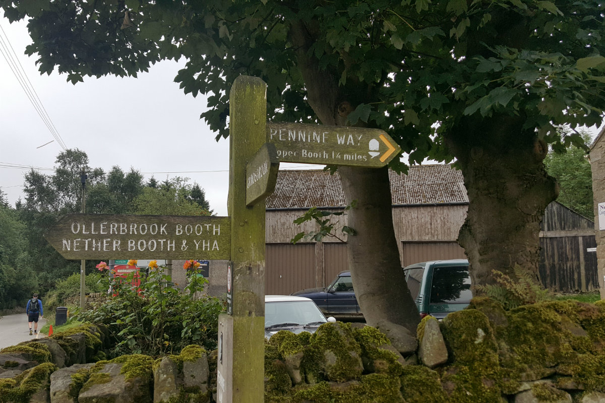
Start of the Pennine Way
The large plateau of Kinder is one of the jewels of the Peak District, typified by steep climbs from the valley to the flat and peaty summit plateau. The Pennine Way starts at Edale as does this route, which takes the Pennine way for the first part of the walk. Along the southern edge of Kinder there are many rocks with a variety of interesting shapes, many of which are named. Whilst the central part of the plateau is bleak these edges are less so and provide interesting walking.
Goto main Route Description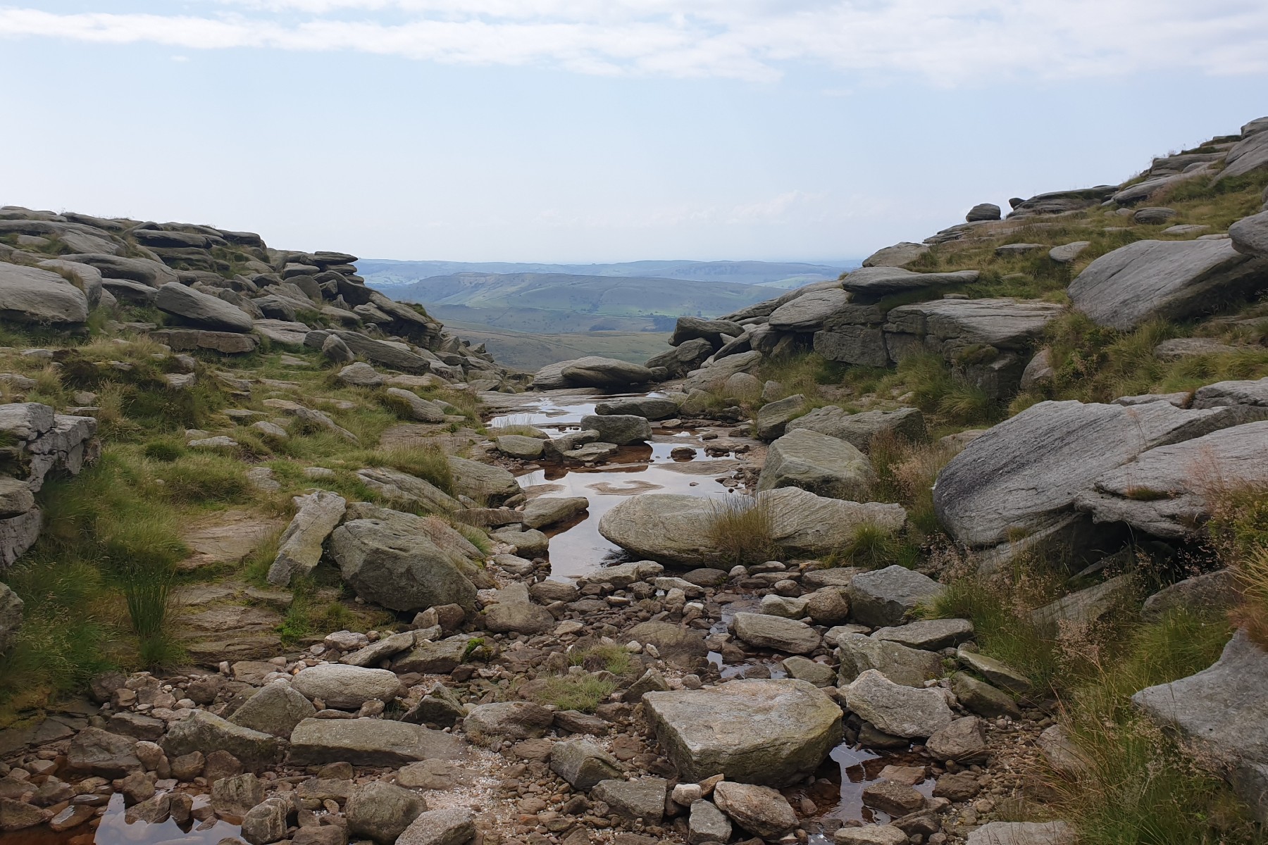
Top of Kinder Downfall looking west.
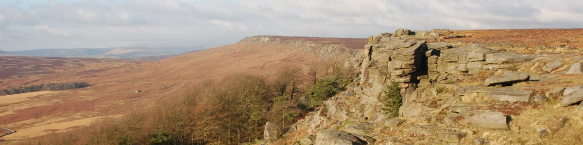
Kinder is a largely flat plateau at a height of around 600m, some bits higher, some lower. The summit is at Crowden Head which is an indistinct top in the middle of the typical Kinder landscape. This route takes in the high point plus a few of the other major landmarks on the Kinder plateau; Kinder gates and Kinder Downfall are two such. This is a busy area and best visited off season or mid week.
Goto main Route Description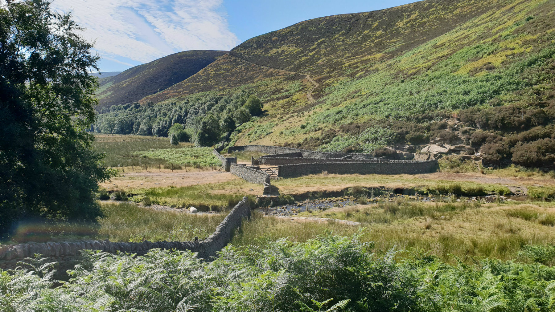
Bottom of Fair Brook
Kinder is a large flat plateau surrounded by steep edges. This walk follows the edges long the north of Kinder. These rock edges that mark the northern limit of Kinder are on the edge of the peat with many rocks making the drop. From here views north towards Bleaklow are extensive on days of good visibility.
Goto main Route Description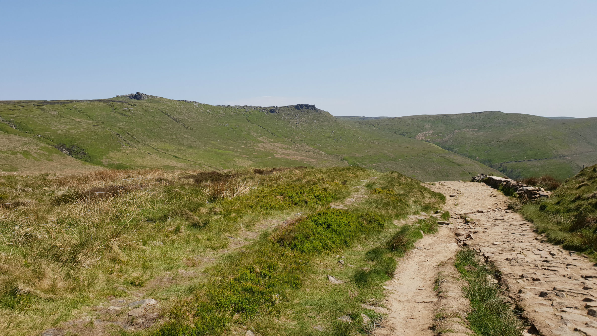
Kinder from the top of Jacobs Ladder.
An interesting walk taking in Rushop Edge which is on the boundary between the White Peak to the South and the Dark Peak to the north. Then on to Brown Knoll which is a definite Dark Peak hill, a rounded hill mainly peat.
Goto main Route Description My Blog
© gritstoneedge.co.uk all rights reserved 2015-2026