Derwent Edge
| OS Map : | 110 |
| Start : | Heatherdene Car Park |
| SK205857 | |
| 200 | |
| Heatherdene car park is a large car park which is popular with walkers. Payment is required. | |
| Summary : | Heatherdene Car Park - Ladybower - Whinstone Lee Tor - Wheel Stones - Dovestone Tor - Back Tor - Lost Lad - Pike Low - Ladybower Reservoir - Heatherdene Car Park |
| distance : | 14.0km. |
| ascent : | 360m. |
| time : | 4hr. 50min. |
Coach and Horses Rocks.
©gritstoneedge.co.uk
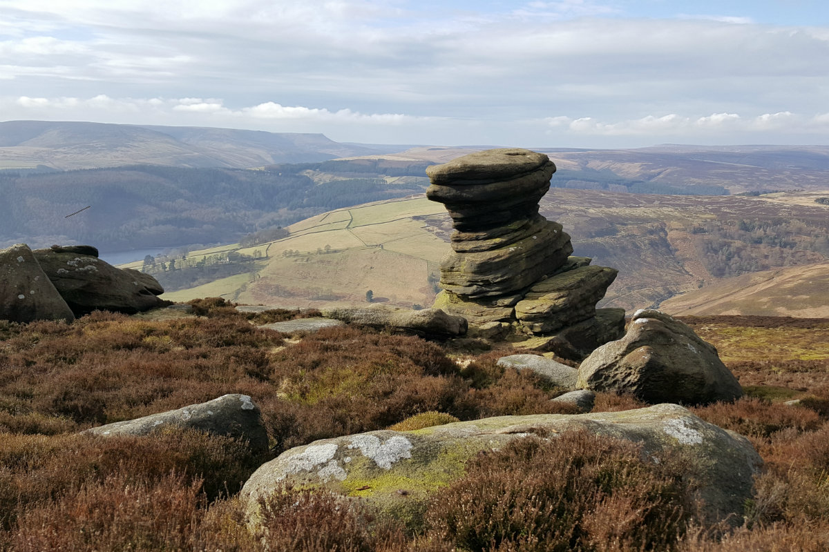
Salt Cellar - an interesting rock just below the edge.
©gritstoneedge.co.uk
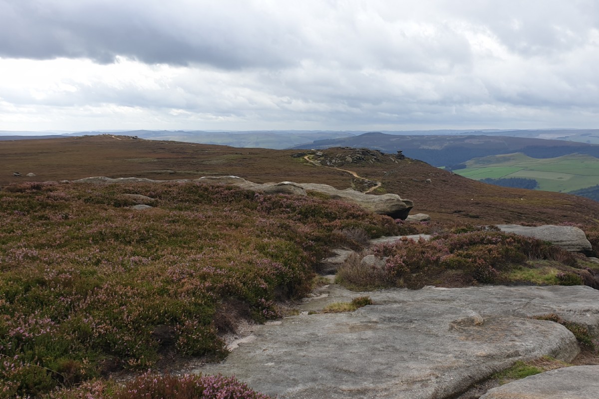
South down Derwent Edge.
©gritstoneedge.co.uk
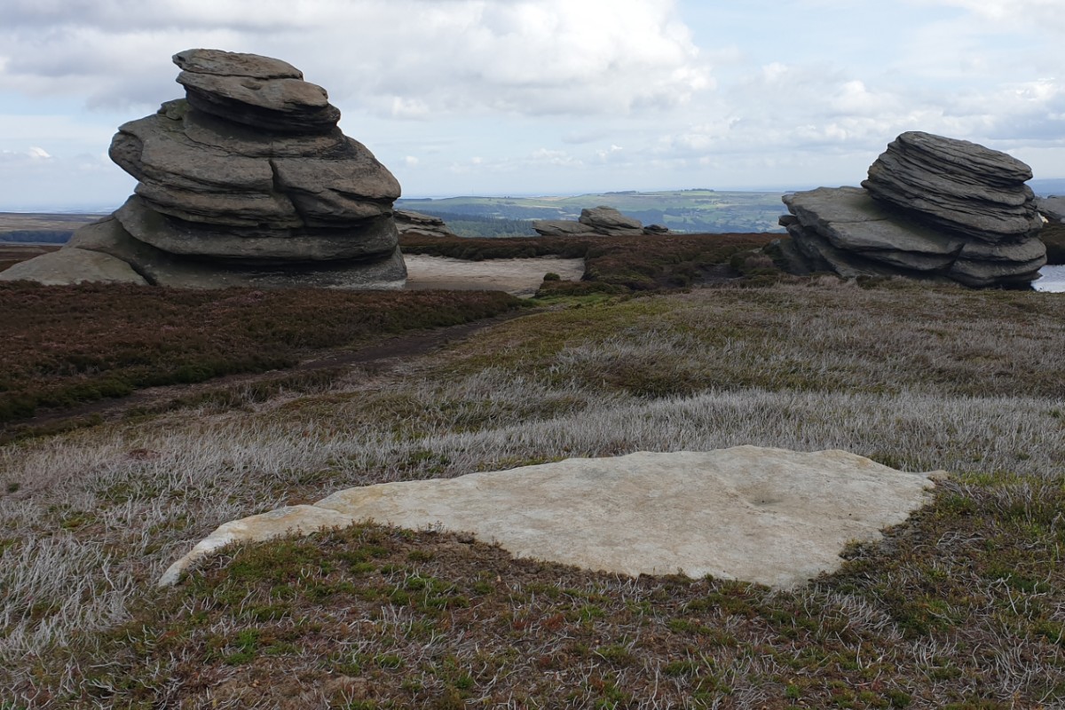
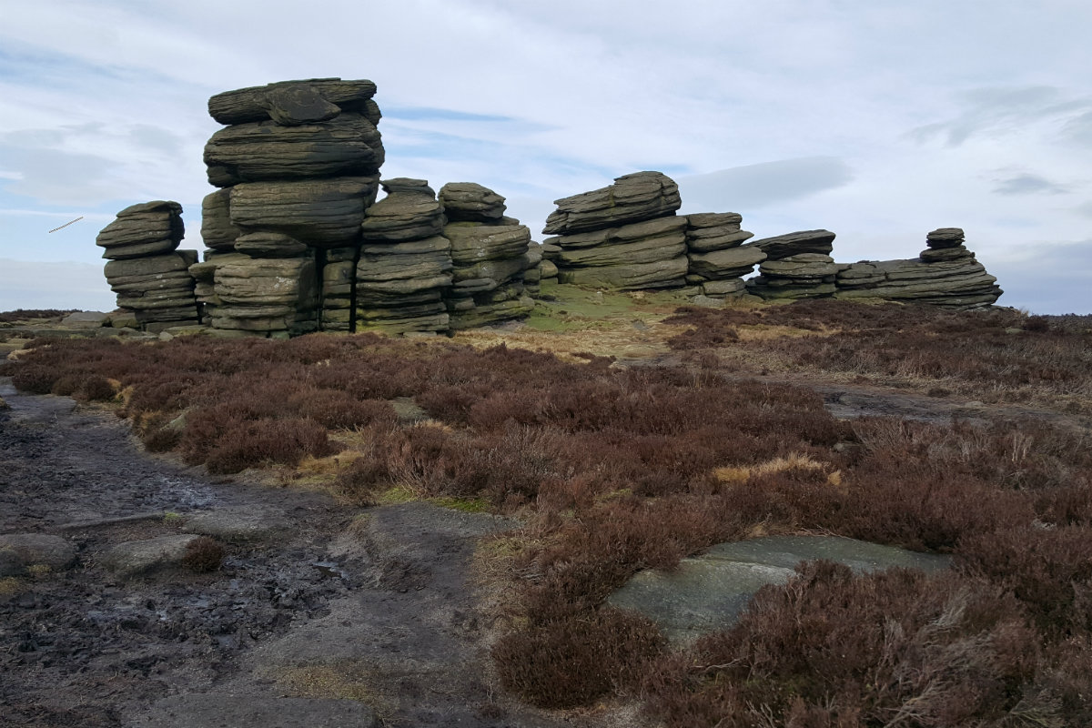
Cakes of Bread rock formation.
©gritstoneedge.co.uk
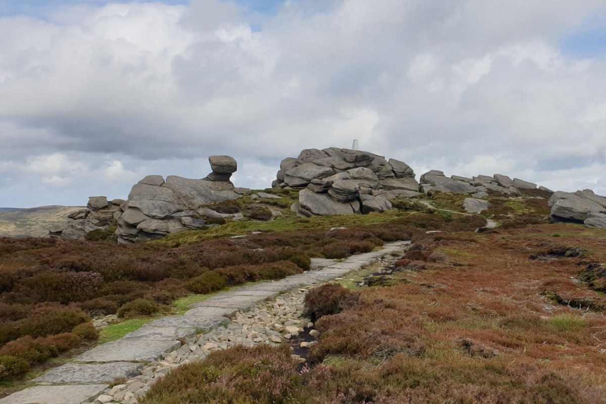
Back Tor.
©gritstoneedge.co.uk
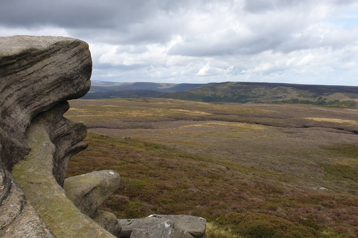
Looking up towards the top of Derwent Valley.
©gritstoneedge.co.uk
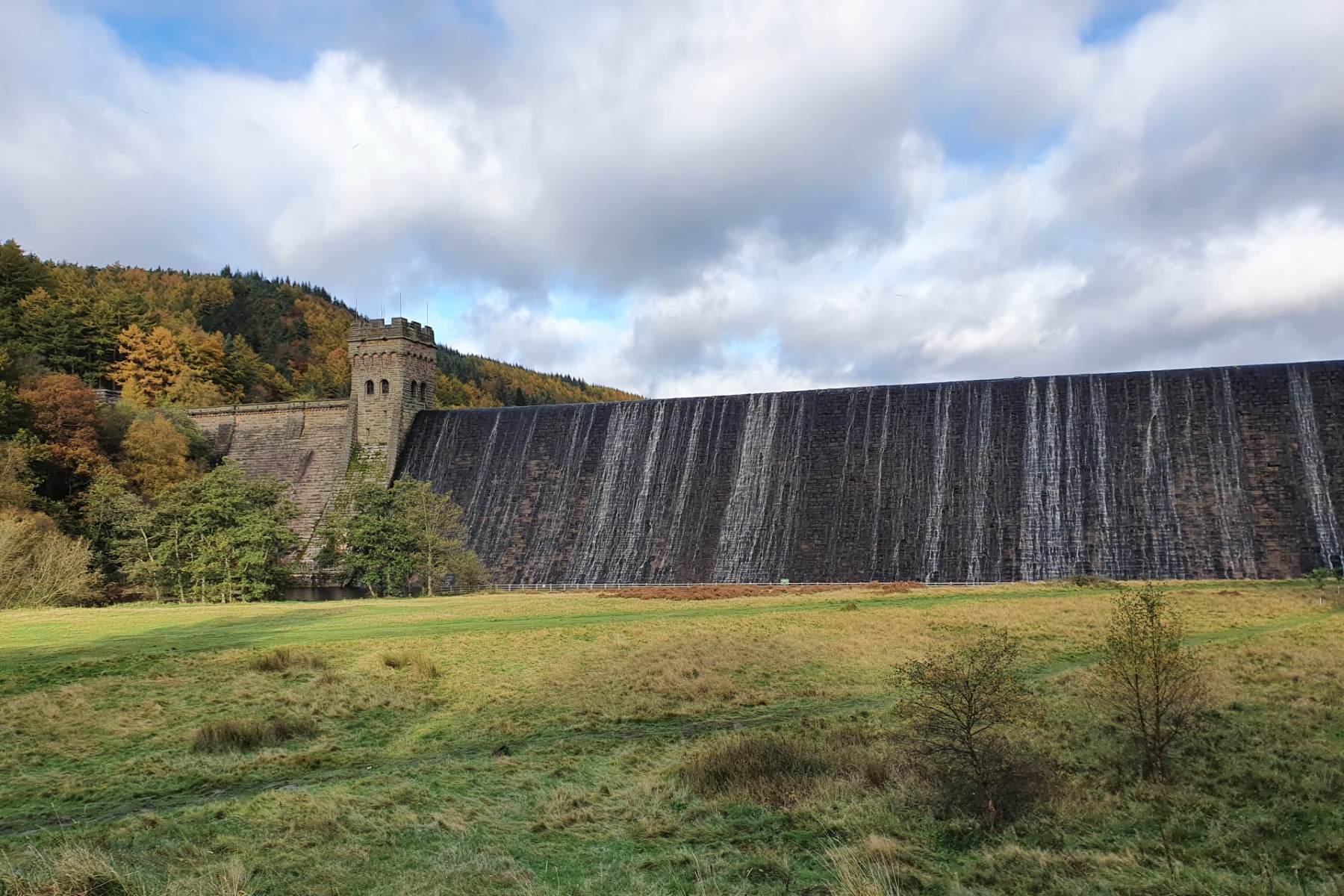
Derwent dam in Autumn.
©gritstoneedge.co.uk
Bamford Edge peeking out.
©gritstoneedge.co.uk
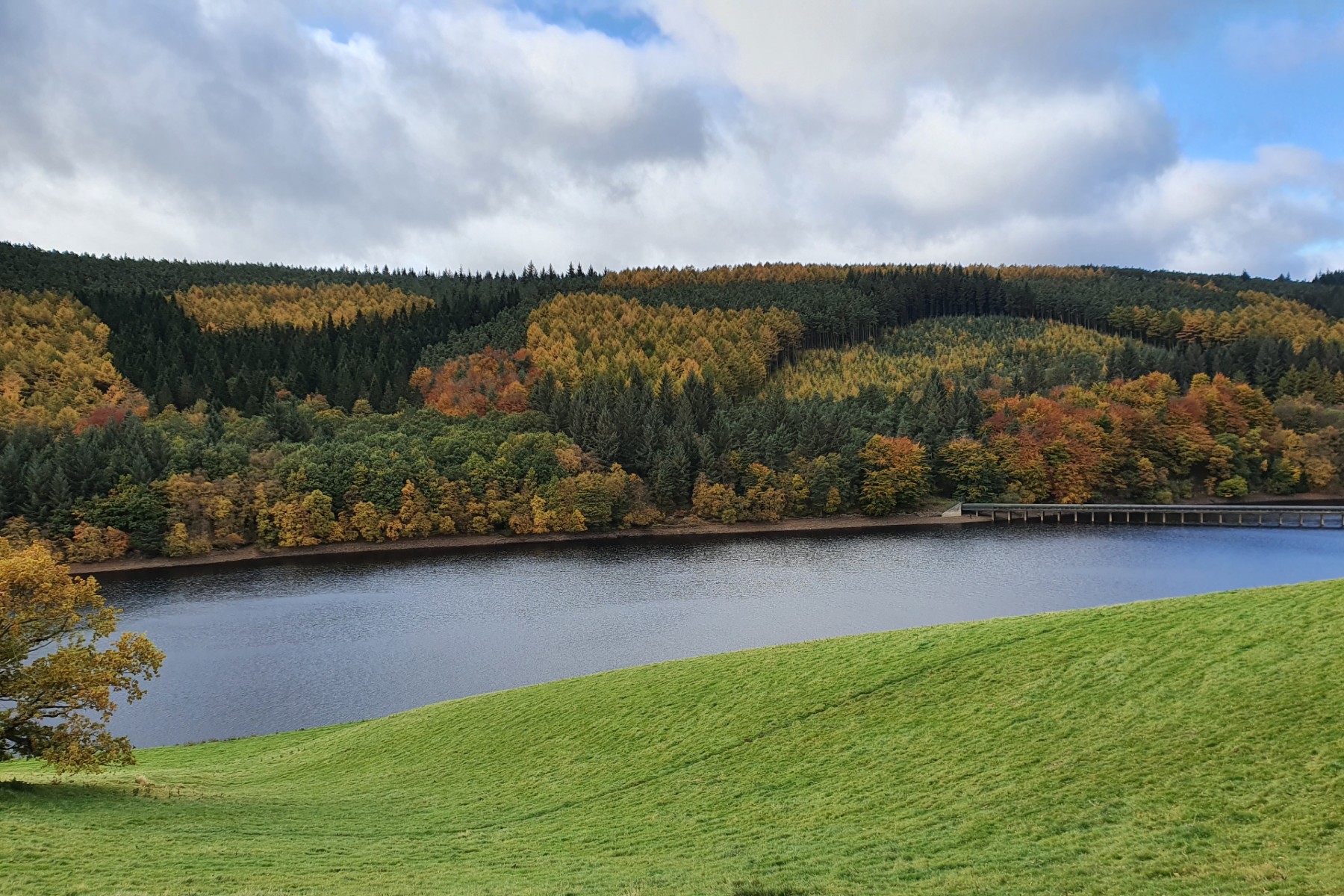
Ladybower and autumn trees.
©gritstoneedge.co.uk
Towards the Edge.
©gritstoneedge.co.uk
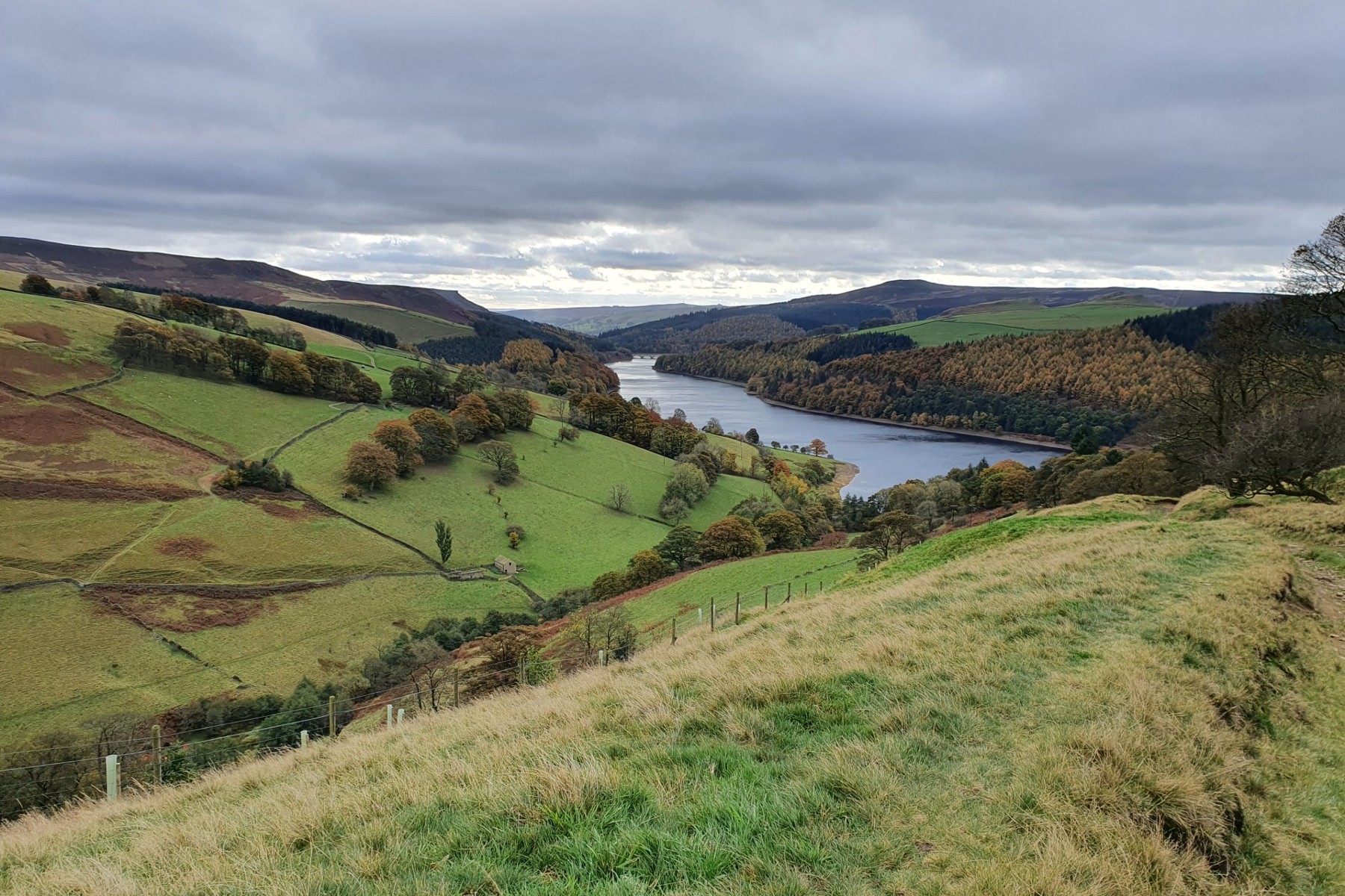
Down Ladybower Reservior.
©gritstoneedge.co.uk
Lost Lad and beyond.
©gritstoneedge.co.uk
Edale
Current Weather
Last Updated today at : 04:04:12
| Overall : | broken clouds |
| Temperature : | 15degC. |
| Wind Speed : | 10km/hr. |
| Wind Direction : | SSW |
| Clouds : | broken clouds |
| Precipitation : | none |
| Sunrise : | 03:40:52 |
| Sunset : | 20:39:30 |
| : | Times are GMT add 1 hour for BST |
Data from openweathermap.org
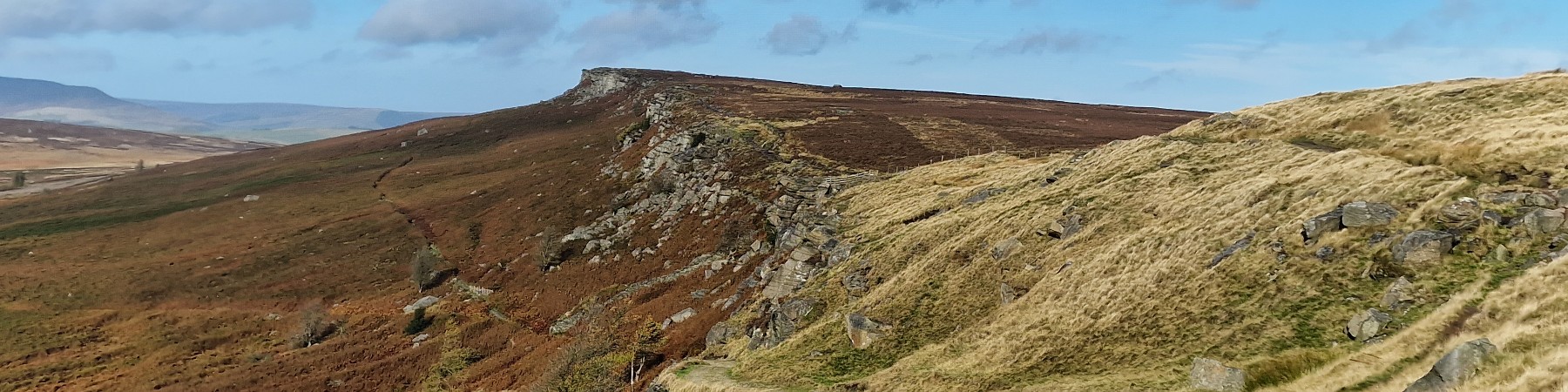
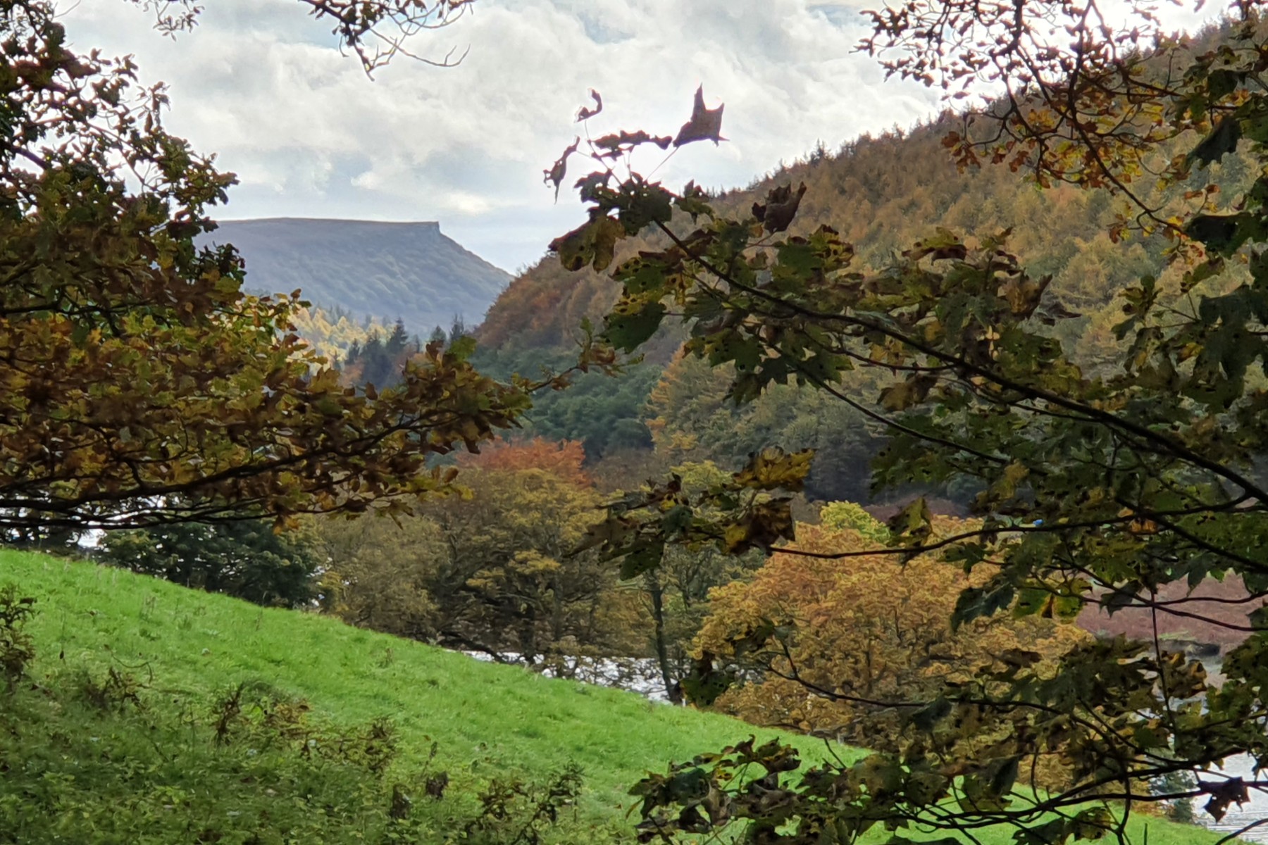
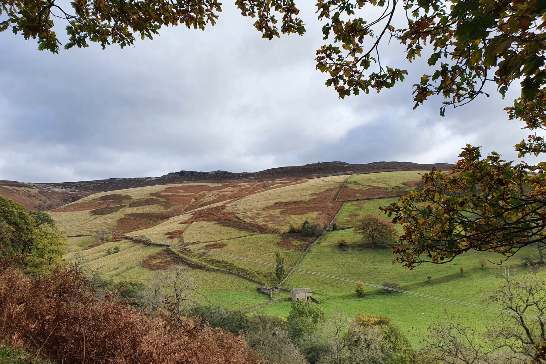
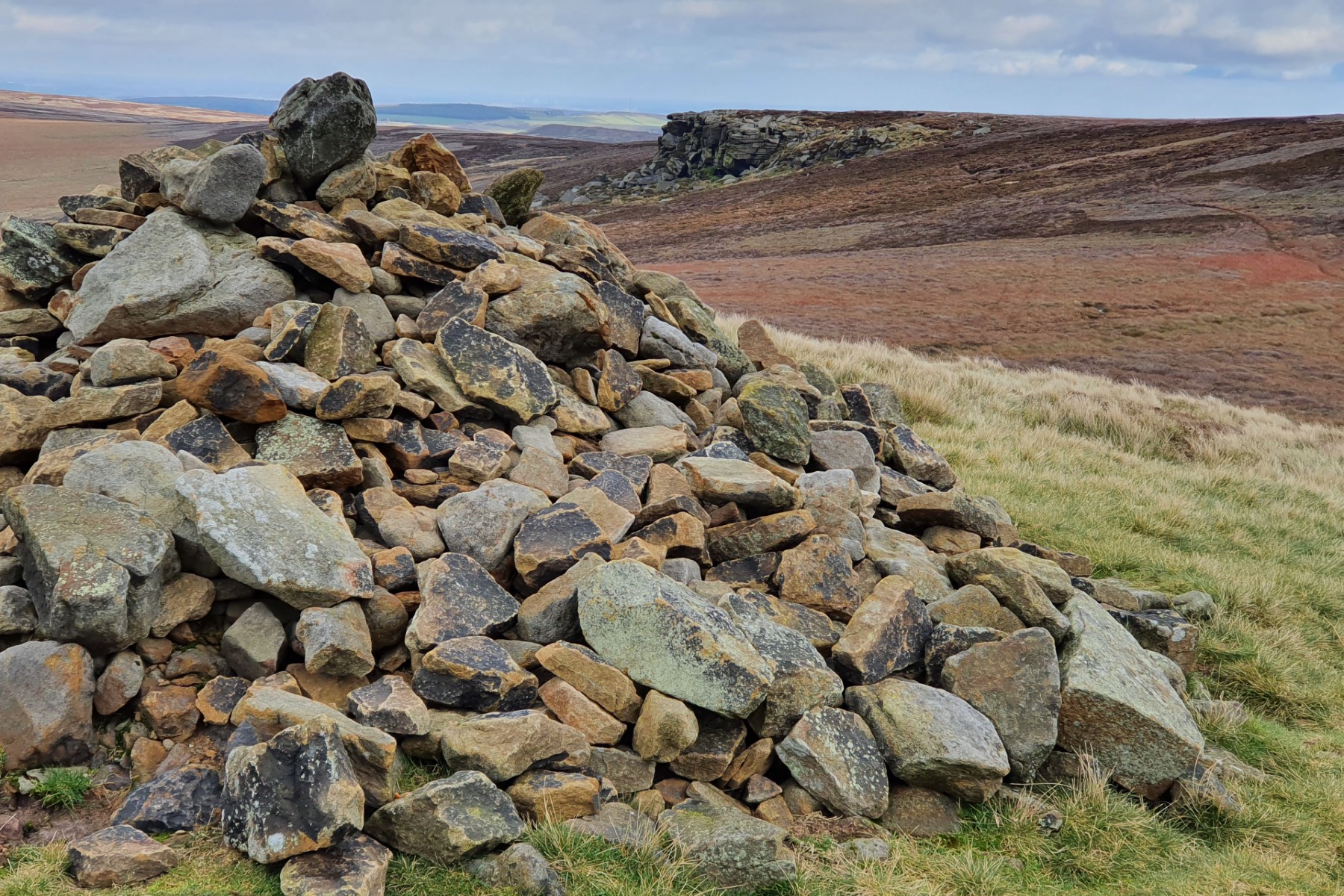
Derwent Edge is the northerly of the Eastern edges; east from the Bleaklow plateau. Not large vertical cliffs as Stanage but interesting rock formations on the top of the predominantly grassy ridge. This walk, as with the others on the Eastern edges, are significant hill-walking expeditions. This is the heart of the wild Peak District where the conditions can be severe in wintery or windy conditions. This walk can start at various places but the description starts at the Heatherdene Car Park. Parking on the roadside of the Ladybower Reservoir is possible but extremely busy. Get there early if this is the plan.
Leave the car park to walk to the A6103 and follow the road north, on the pavement, to reach the road junction with the A57, then turn west for 800m. At Ashopton a track takes the walker through a gate, and then up through the woodland. Follow this path to the end of the wood, from where the full sweep of Derwent Edge is seen. The path now climbs steeply to get to the cross-paths near Winstone Lee Tor. Good views here up Ladybower Reservoir. (2kms. 200m. 1hrs. 0min.)
The ridge is followed passing the memorable rock features of Hurkling Stones, Wheel Stones, White Tor and then onto Dovestone Tor. Just before reaching this feature check out the Salt Cellar which is lower down than the other rock features but argueably one of the more famous. Doverstone Tor is a significant rock feature with some excellent views south down the Derwent Valley. Continue along the ridge past Cakes of Bread, on the right, to reach the high point at Back Tor with it's trig point. The is as far as this route travels along the ridge on this walk. (4.0kms. 160m. 1hrs. 30min.)
From Back Tor take the NW path to Lost Lad. Rather than descending Far Deep Clough the better route is to keep to the higher ground, skirting around the clough head. Follow the paths around Green Sitches always turning left as the route contours around the head of the clough, eventually walking south to the east pf Pike Low and then down to the excellent track on the east of Ladybower Reservoir. Much of this is signposted down the ridge. (4.5kms. 0m. 1hrs. 20min.)
The route now follows the good track on the east of Ladybower Reservoir. The track contours around the valley. The remnents of Ashopton Village lie at the bottom of this reservoir and in dry seasons evidence of a different look to the valley can clearly be seen in the old walls that are usually underwater. Once at the A57 road follow the road back to the car park. (3.5kms. 00m. 1hrs. 10min.)
22nd October 2020 Another start from Fairholms. walked down the track alongside Ladybower before it is possible to take a path that goes up over Derwent Moor and onto Lost Lad. It was a very windy day especially on the tops. Walked down the ridge past the main rock features until the path that crosses south of Wheel Stones. This was descended to Ladybower Reservoir and then back up the track. Great autumnal trees along the valley bottom.
5th January 2020 Rather than walk from Ladybower, walked from Fairholms. The latter is busy but away from the "honey pot" the crowds disserpate. Windy on the top but some great views south down the ridge.
29th August 2019 Looked a lovely end of summer day, which is was despite the wind. A nice walk along the edge, down to Ladybower and back to the viaduct. Midweek so not many people out giving the area, especially the northern parts, a more remote feeling. The are good views all around especially up the Derwent valley or over to Mam Tor.
5th April 2018 Picked a nice clear day to undertake this walk. Difficult to find parking on these busy days. Once on the ridge there is a good path all the way. Even had a Hercules fly path to celebrate 75 years of RAF. The route from Lost Lad to the valley could be difficult in bad weather, needing a compass. But on this clear day the choice of paths is clear. A detour to Fairholms and coffee is always a bonus in this part of the world.
 My Blog
© gritstoneedge.co.uk all rights reserved 2015-2026