Podcasts Series 2 - Wild Bleaklow
Now onto Wild Bleaklow. Bleaklow is a large area of moorland situated between the Snake Road (A57) and Woodhead Pass (A616). The Pennine Way cuts directly over Bleaklow south to north and is a feature of many of these walks. enjoy Wild Bleaklow.
There are 8 episodes in series 2
- Black Hill
- Saddleworth Edges
- Bleaklow Summits from the Pennine Way.
- Bleaklow Hill from Bleaklow Stones
- Howden Edge and Horse Stone.
- High Stones
- Margery Hill from Langsett
- Derwent Edge.
This way to Black Hill.
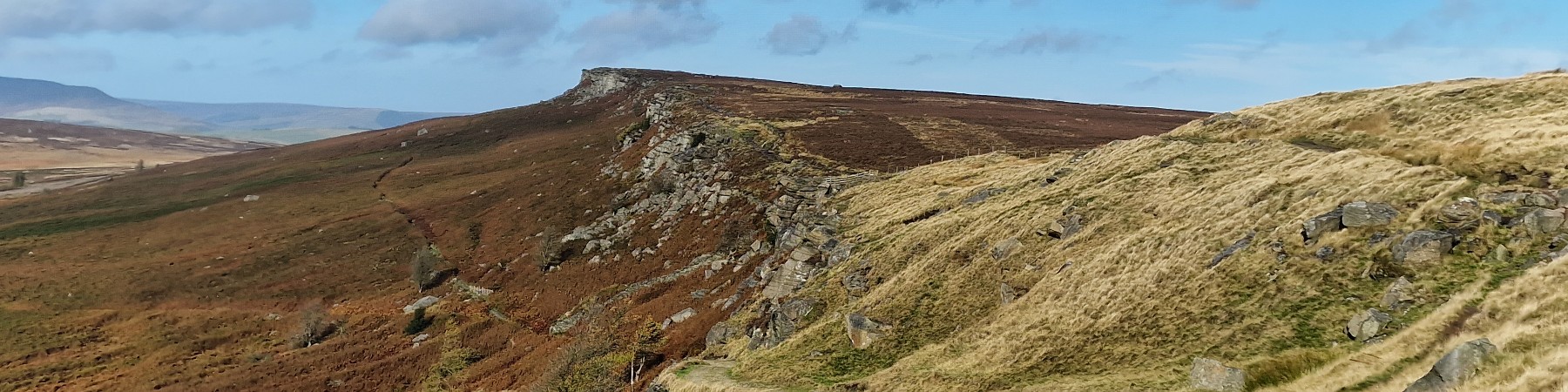
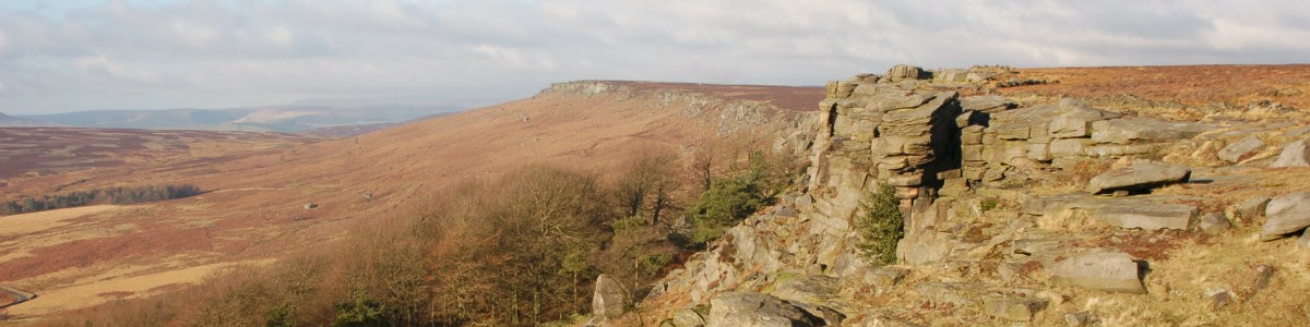
Black Hill has a reputation as a wet boggy hill and indeed in wet weather you can expect this, a typical Peak District Experience. Black Hill is on the Pennine Way and this path is much improved over the year's making this a pleasant walk especially in the summer. Once away from the Pennine Way the return ridge is often empty of people, no crowds just you in the hills. The ascent is dominated by Laddow Rocks, a gritstone edge set high up this hill.
Goto main Route DescriptionThis is the far north west of the Peak District. The route takes us round three of the small reservoirs in this area of the Peak District and onto the edge of Saddleworth Moor itself. This can be a bleak place in poor weather made worse with the association with the "Moors Murders" in the 1960's. But on a good day it is a pleasant walk around the moors with views over to Manchester. The route is described clockwise in order to climb Birchen Clough - which is easier than descending Birchen Clough!
Goto main Route Description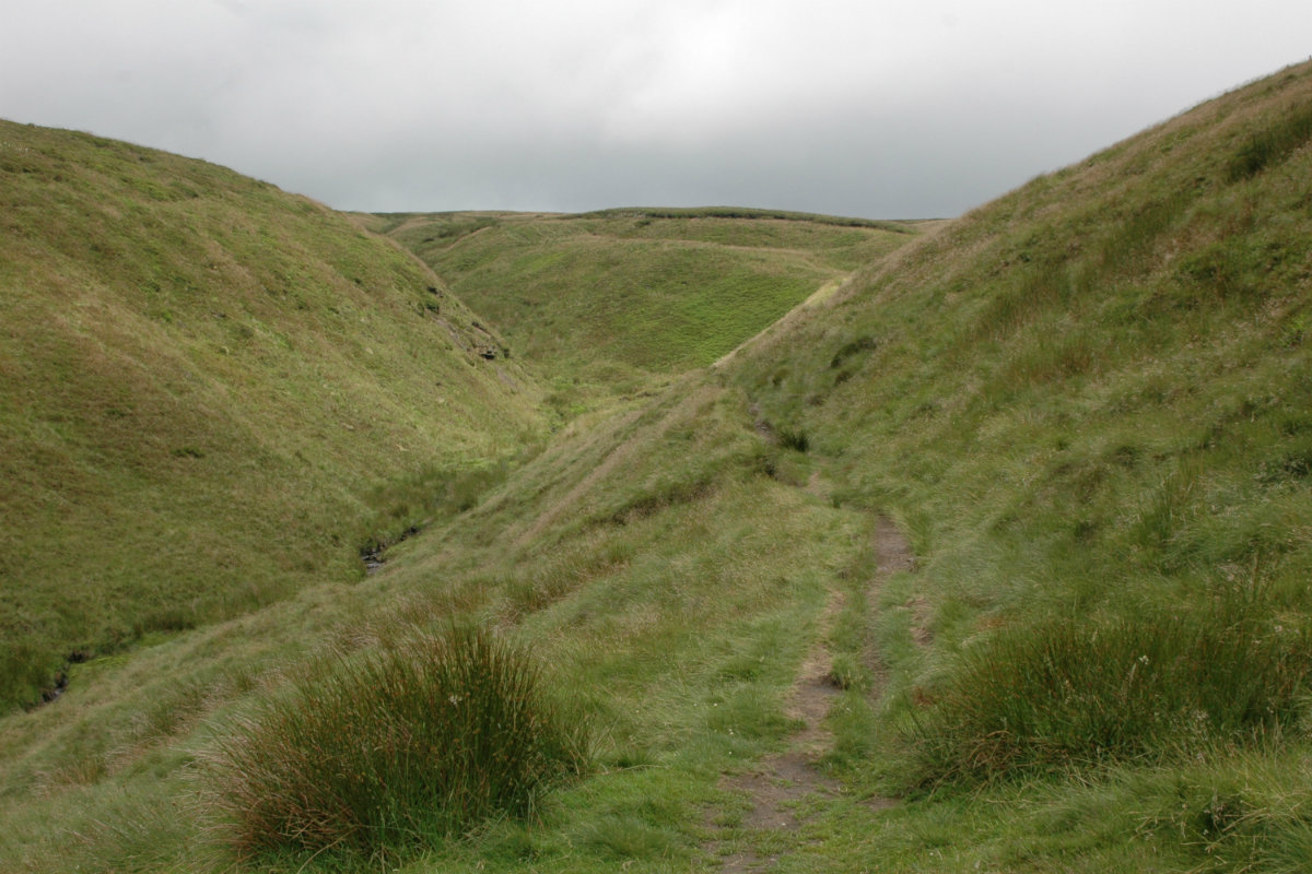
Route up Doctors Gate
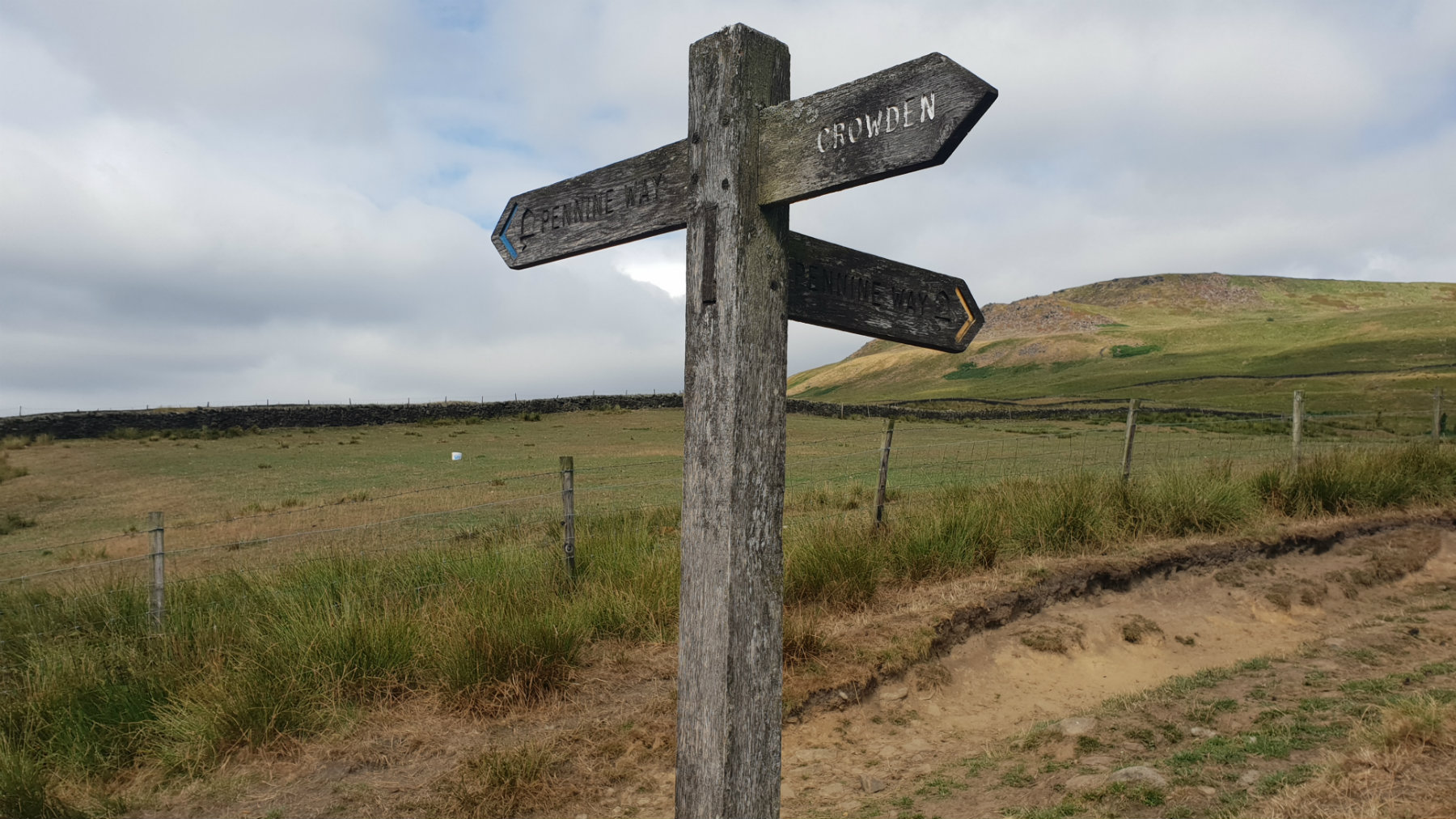
Bleaklow is a vast desolate moorland area between the A57 (Snake Pass) and the A628 (Woodhead Pass). The area around Bleaklow Head is the highpoint of this plateau. The Pennine Way, the long distance footpath from Edale to Scotland cuts across Bleaklow, south to north, and this route has The pennine Way at the core. Over the years the Pennine Way has been altered to safeguard the environment and walkers will find that the route marked on the map and the ground do not always tally. In an attempt to improve the environment much work has been carried out on Bleaklow. Gone are the vast swathes of dark exposed and eroding peat - an area where people can get really stuck. Now much of the area has good quality green grass. This has hidden many paths making this an area to explore again.
Goto main Route DescriptionBleaklow Hill and Bleaklow Stones are on the ridge, connecting the highpoints of Bleaklow. From here the water flows down south west to fill up Howden reservoir and this route follows a horseshoe up from the reservoir to this high point of Bleaklow. The area around here has been much changed over the past decade. Gone are the extensive desolate areas of dark peak bog, to be replaced by a more stable lanscape of green grass. Don't be too disappointed; there are still some areas of peat and the area can be very wet.
Goto main Route Description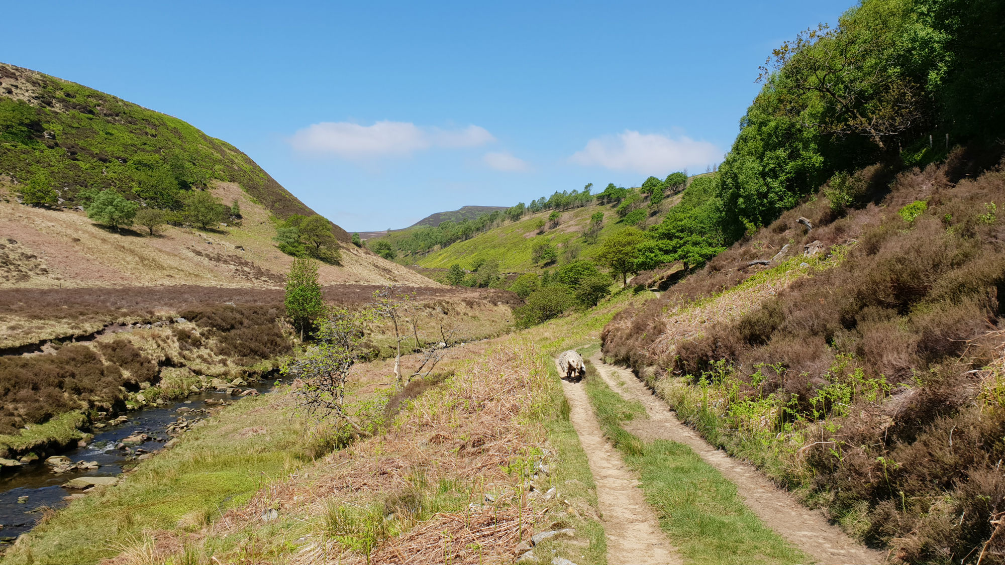
Walking up the River Derwent
The Derwent Valley splits Bleaklow between the large plateau to the west and the edges to the east. This walk goes up the pleasant Derwent Valley and then onto the eastern edges with their extensive views over South Yorkshire and beyond. A great area to get away from it all in this popular part of the country.
Goto main Route Description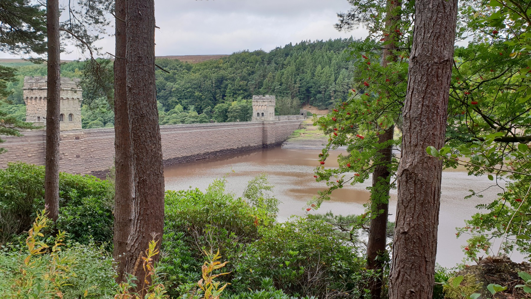
Low water at Derwent Dam.
This is the highest point in Sheffield, and indeed South Yorkshire. High Stones is the high point of Howden Edge. This is a remote moor but there are excellent paths to the summit. The high moor between High Stones and Margery Hill to the north and especially to Back Tor to the south can be very wet but the paths chosen for this route avoid he worst of the bogs. The hill gives great views over Bleaklow and Kinder and east over most of South Yorkshire and beyond.
Goto main Route Description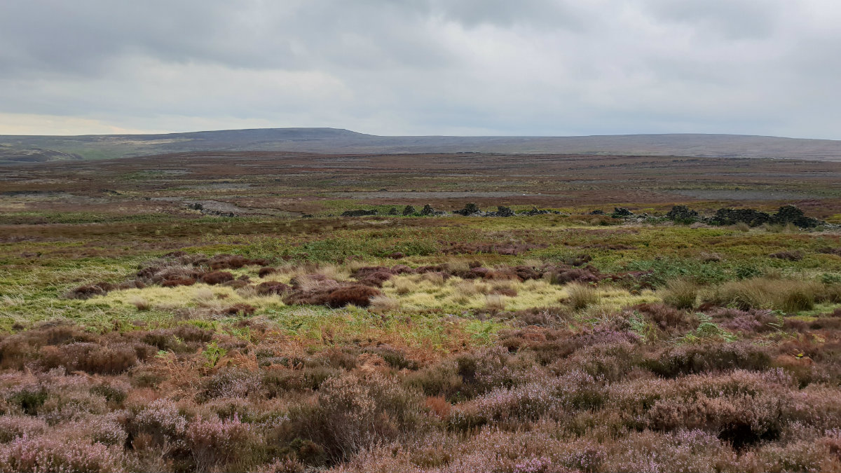
Over the moors to Margery Hill
There is a sense of remoteness in this area of the Peak District. Away from the paths the moors can be challenging with the areas of heather, bracken and in particular peat. But the challenge is worth it with a great day out in the moors. The Woodhead pass is to the north and it seems perculiar to see the lorries pass over the distant moor on their way from Yorkshire to Manchester. Cut gate is an old track climbing high over hills originaly used for travelling from South Yorkshire to Derbyshire. This route starts of up Cut Gate climbing to the top of the moors.
Goto main Route Description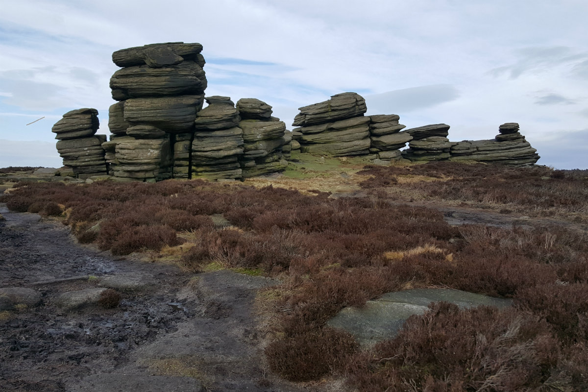
Coach and Horses Rocks.
Derwent Edge is the northerly of the Eastern edges; east from the Bleaklow plateau. Not large vertical cliffs as Stanage but interesting rock formations on the top of the predominantly grassy ridge. This walk, as with the others on the Eastern edges, are significant hill-walking expeditions. This is the heart of the wild Peak District where the conditions can be severe in wintery or windy conditions. This walk can start at various places but the description starts at the Heatherdene Car Park. Parking on the roadside of the Ladybower Reservoir is possible but extremely busy. Get there early if this is the plan.
Goto main Route Description My Blog
© gritstoneedge.co.uk all rights reserved 2015-2026