Round of Burbage Valley
| OS Map : | 110 |
| Start : | Upper Burbage Bridge |
| SK261830 | |
| 402 | |
| There is a small car park on the east side of Burbage Bridge, or in the car park just west of the bridge. These often gets busy. | |
| Summary : | Burbage North Bridge - Higgar Tor - Hathersage Moor [sheepfold] - Over Owler Tor - Owler Tor - River Padley footbridge - Burbage South Edge - Burbage North Edge - Burbage North Bridge |
| distance : | 8.0km. |
| ascent : | 110m. |
| time : | 2hr. 40min. |
View of south Burbage
©gritstoneedge.co.uk
View of South Burbage
©gritstoneedge.co.uk
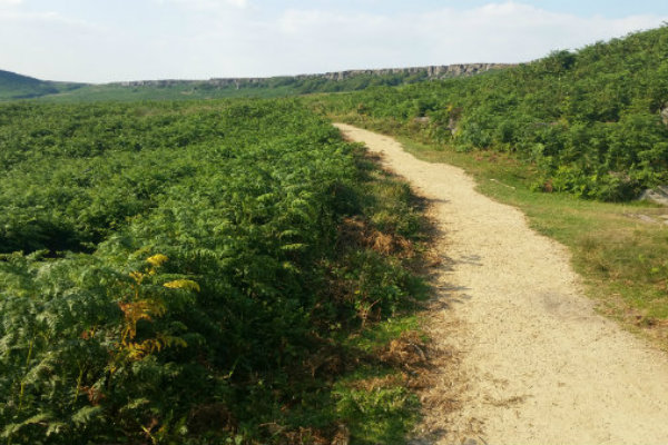
Burbage Drive
©gritstoneedge.co.uk
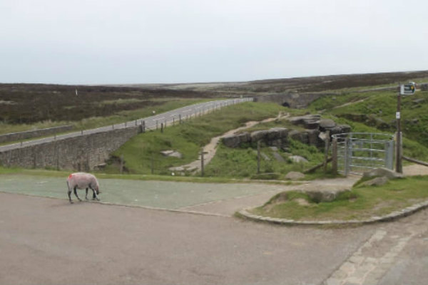
Burbage Bridge - start point
©gritstoneedge.co.uk
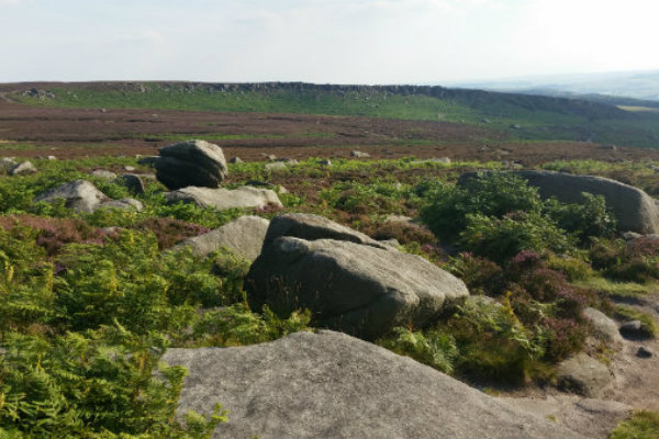
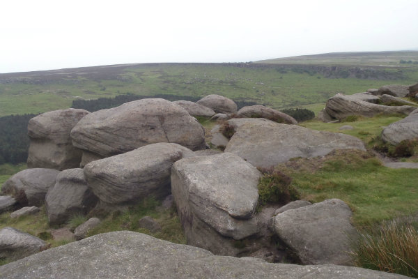
Over to Carl Walk
©gritstoneedge.co.uk
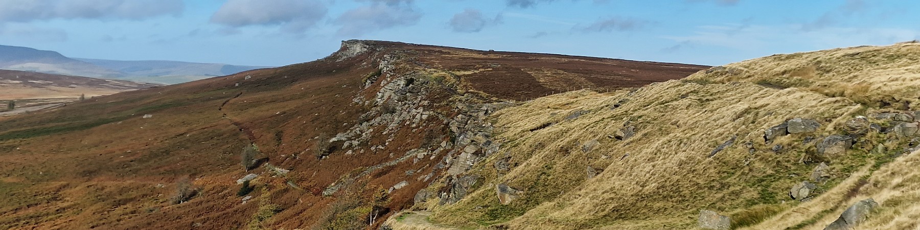
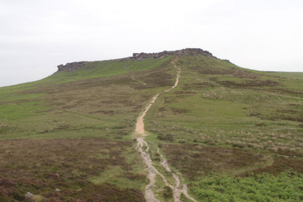
Higgar Tor summit and the view to Burbage
©gritstoneedge.co.uk
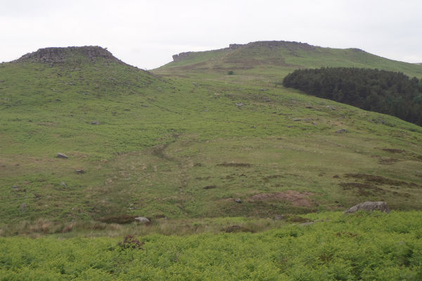
A view of Higgar Tor
©gritstoneedge.co.uk

Carl Walk
©gritstoneedge.co.uk
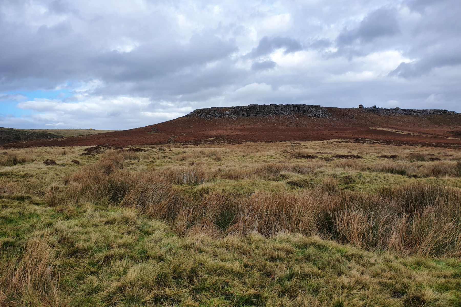
Higgar Tor
©gritstoneedge.co.uk
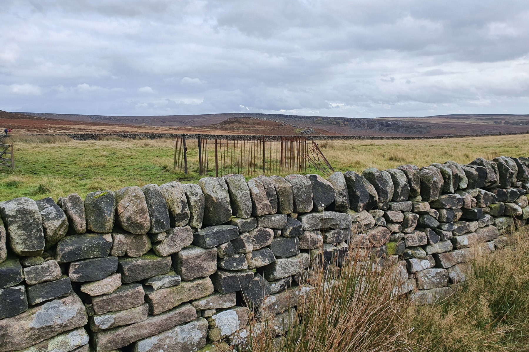
Over to Carl Walk and Burbage Edge.
©gritstoneedge.co.uk
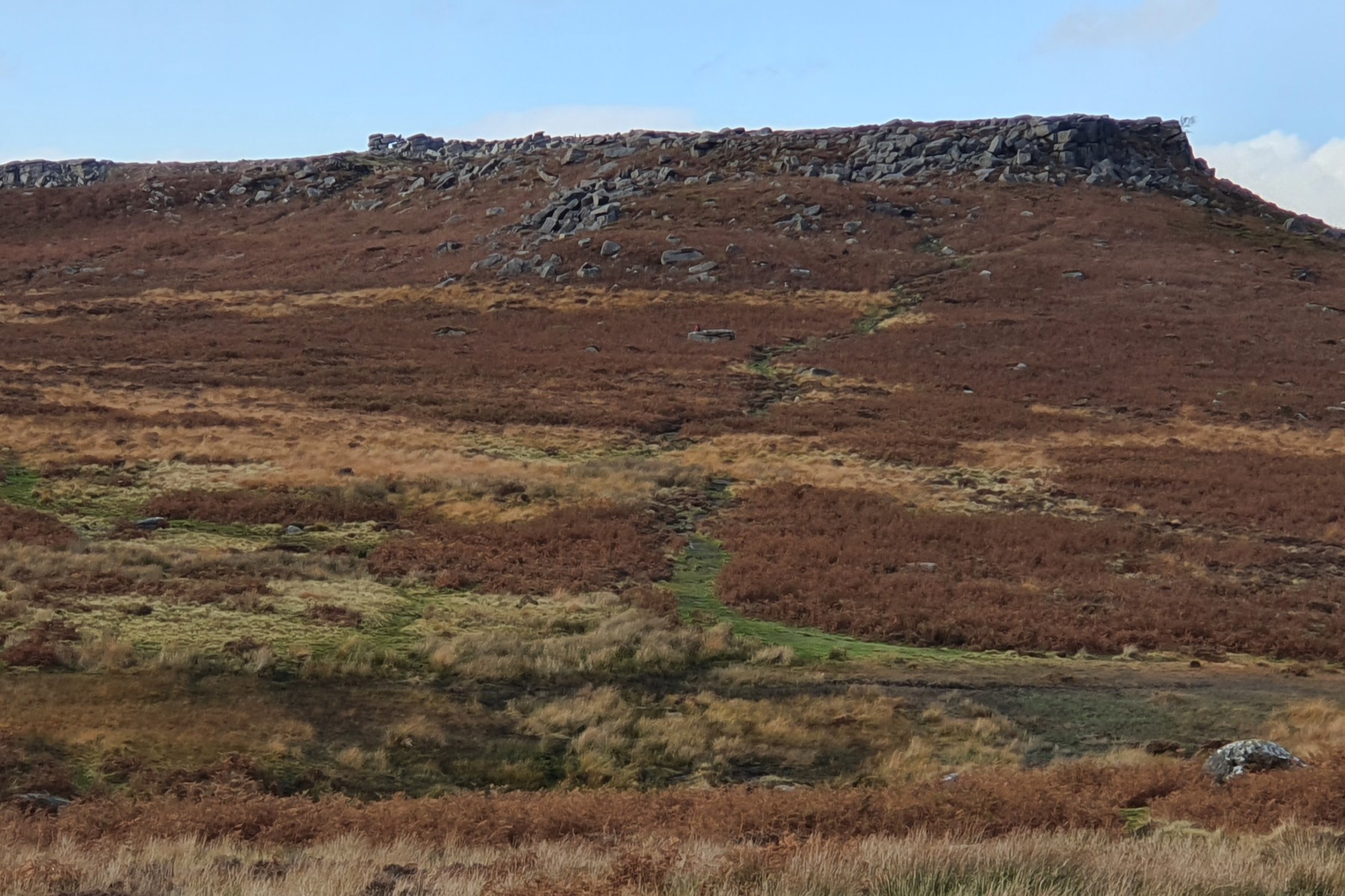
Higgar Tor.
©gritstoneedge.co.uk
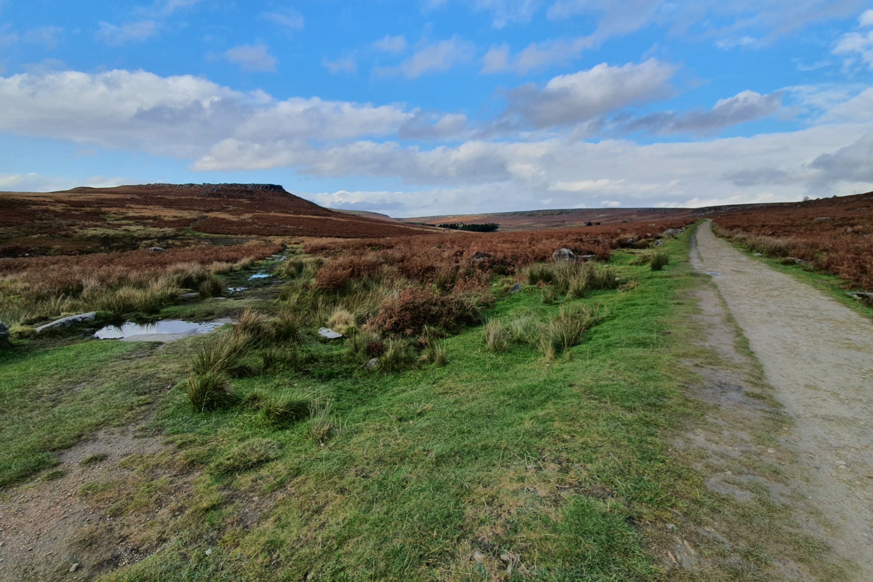
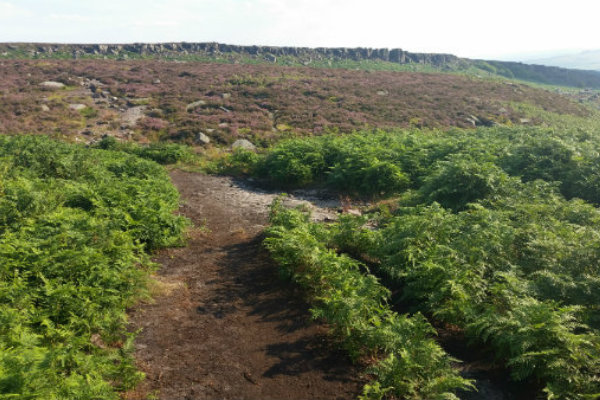
Up Burbage Valley.
©gritstoneedge.co.uk
Edale
Current Weather
Last Updated today at : 06:11:21
| Overall : | few clouds |
| Temperature : | 6degC. |
| Wind Speed : | 6km/hr. |
| Wind Direction : | WNW |
| Clouds : | few clouds |
| Precipitation : | none |
| Sunrise : | 04:25:23 |
| Sunset : | 19:42:29 |
| : | Times are GMT add 1 hour for BST |
Data from openweathermap.org
The Burbage Valley is a short distance from the edge of Sheffield and as such is busy. There is a nice walk for all down and up the Green Drive; from the north to south bridges and back. Burbage Edge itself is a typical Gritstone Edge with the rock climbs being great for introductory rock climbing. On most days you will see many a keen climber out practising their skills. The rocks on Higgar Tor are in a different and more difficult class. This an interesting walk around the Burbage Valley starting at Burbage North Bridge. It is also possible to start at the car park just east of Surprise View on the A6187. From Burbage North Bridge means downhill first then uphill - which is different from most walks. In busy times the car parks here are busy but overall but there is always some space in the car parks or along the road to Higgar Tor