gritstoneedge.co.uk - Trig Points on the edge
- 1m high triangular columns found on hill tops
- Place on hill tops with good views and other prominent areas
- Used for mapping the langscape locations heights by triangulation
- Superseded by ariel photography and satellite mapping
- Many kept nice and tidy by volunteers.
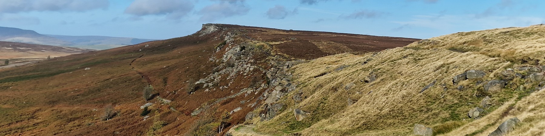
Stanage High Neb
©gritstoneedge.co.uk
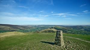
mam Tor
©gritstoneedge.co.uk
Black Hill
©gritstoneedge.co.uk
Edale
Current Weather
Last Updated today at : 02:55:28
| Overall : | broken clouds |
| Temperature : | 16degC. |
| Wind Speed : | 10km/hr. |
| Wind Direction : | SW |
| Clouds : | broken clouds |
| Precipitation : | none |
| Sunrise : | 03:40:52 |
| Sunset : | 20:39:30 |
| : | Times are GMT add 1 hour for BST |
Data from openweathermap.org
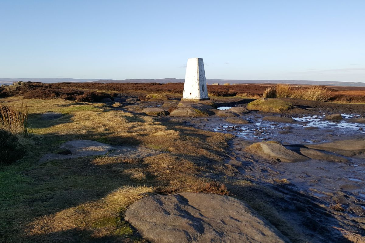
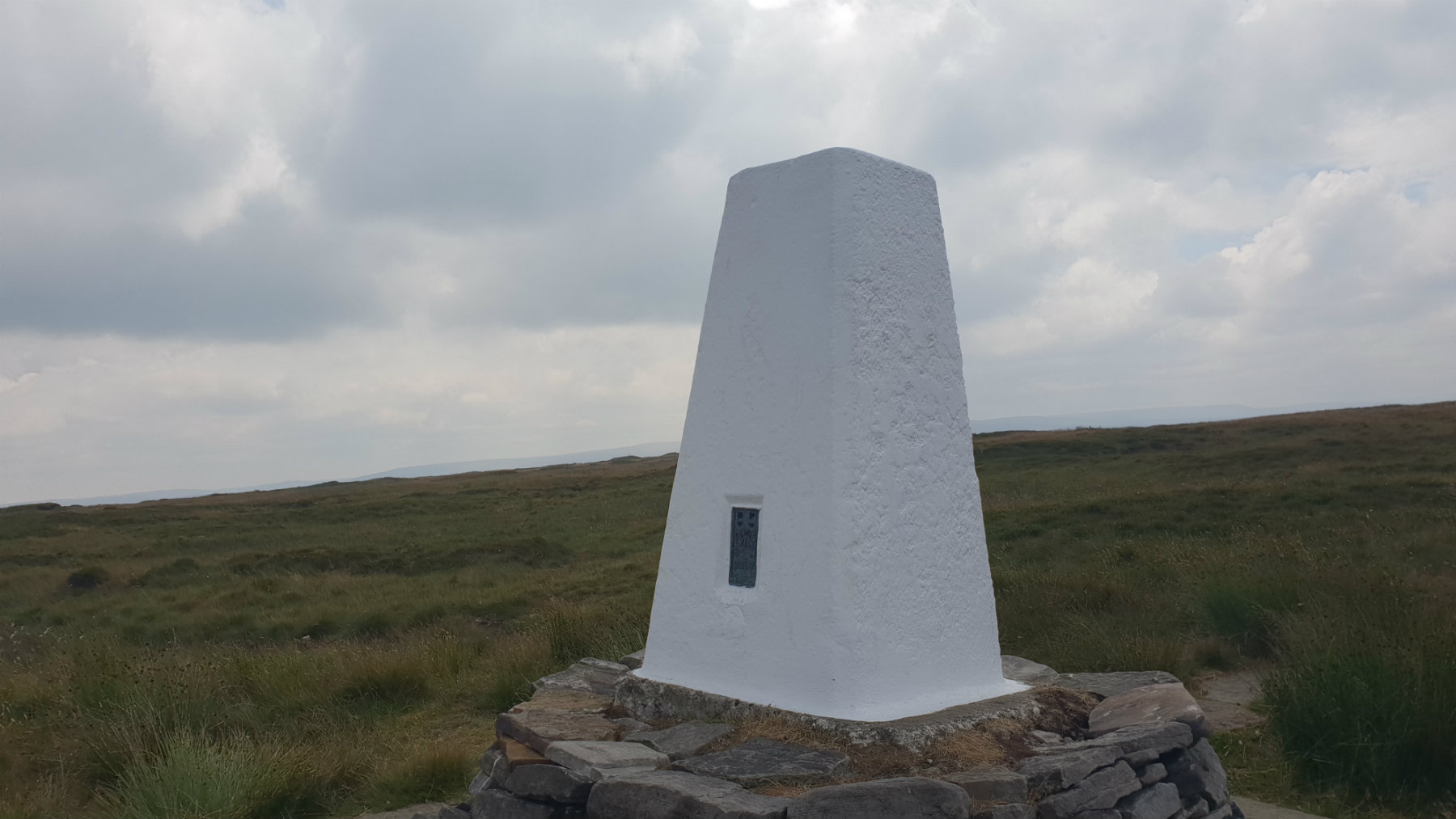
A trig point mark the summit of a hill - well not always. These 1m high pillar of concrete painted white adorn our moorland environment. They were used for mapping and were key to the production of the Ordnance Survey maps we all love. By placing theodolites onto these trig points the angles to other trig points and key features could be measures and thus an accurate map made. These days the mapping is done via satellite and aerial photography making these trig points redundant. May trig points have been adopted my an individual or group and are looked after; mainly a new coat of white paint.
There are many trig points in the upland moorland area of the Peak District. Whilst some are on top of the hills of the Peak District, others are on other prominent points. For the walker, one thing can be gathered by the location (or not) of a trig point. Get to a trig point on a good day and you will have a good view; get to a top without a trig point then the view will be limited. In the Lake District or Scotland, with the sharp steep peaks you can be guaranteed a great view from every summit, due to the rounded moorland nature of this area the views may be more limited but, see out these trig point.
 My Blog
© gritstoneedge.co.uk all rights reserved 2015-2026