High Stones.
High Stones.
| OS Map : | 110 |
| Start : | Kings Tree |
| SK169950 | |
| 270 | |
| There is limited car parking at the end of the road on the side of Howden reservoir. The road from Fairholms, at the end of Ladybower Reservoir, is closed on Saturdays, Sundays and Public Holidays. So this is a walk for midweek. An alternative is to take the bus from Fairholms. | |
| Summary : | Kings Tree - Slippery Stones - Nether Hey - High Stones - Margery Hill - Cut Gate - Slippery Stones - Kings Tree |
| distance : | 12.5km. |
| ascent : | 330m. |
| time : | 4hr. 20min. |
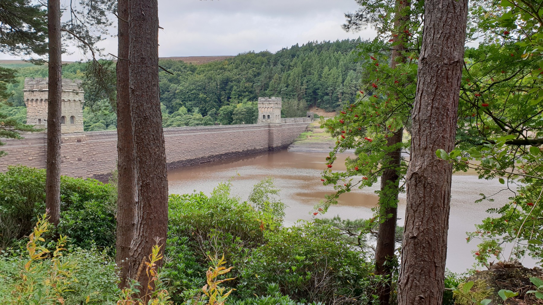
Low water at Derwent Dam.
©gritstoneedge.co.uk
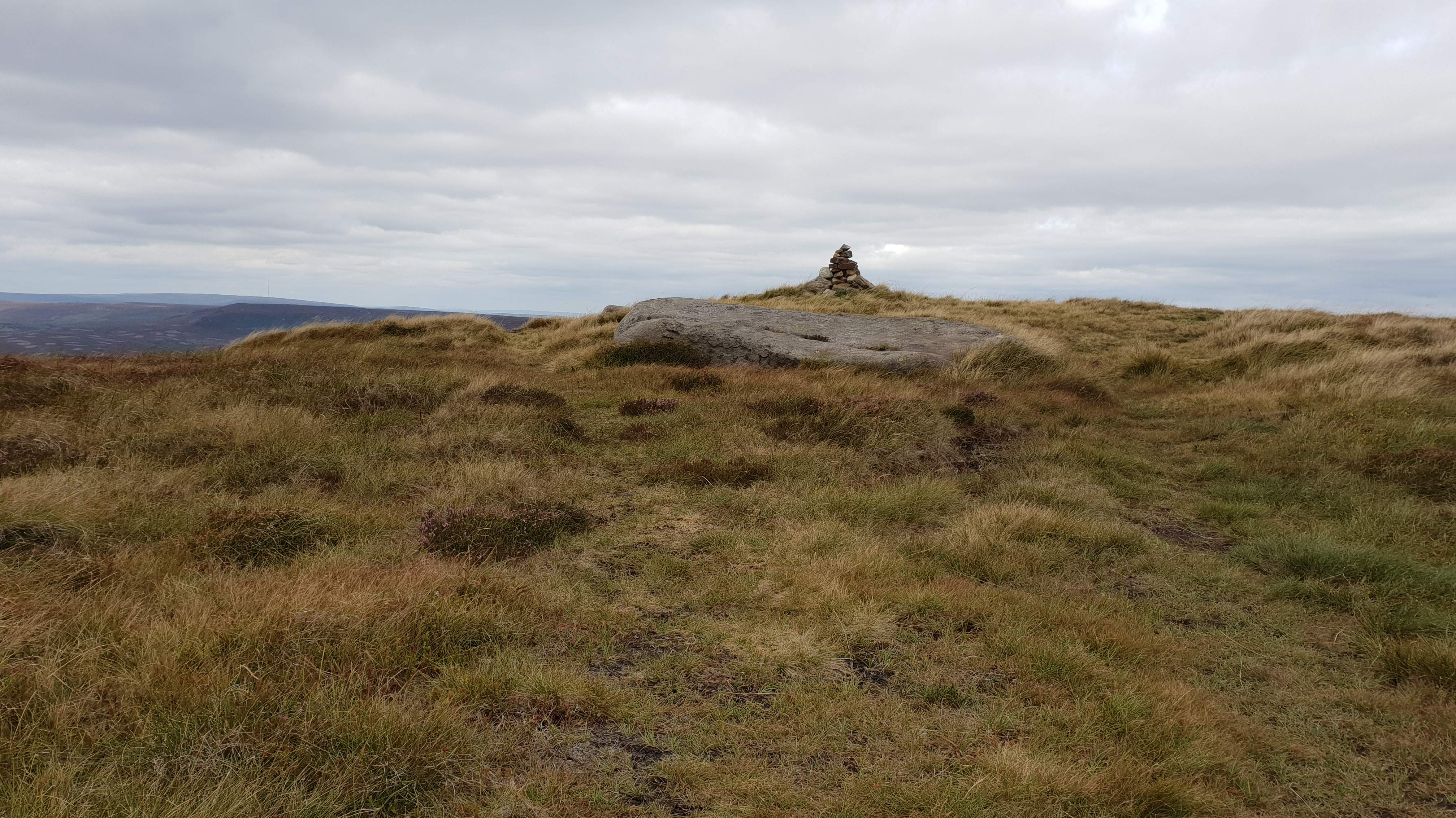
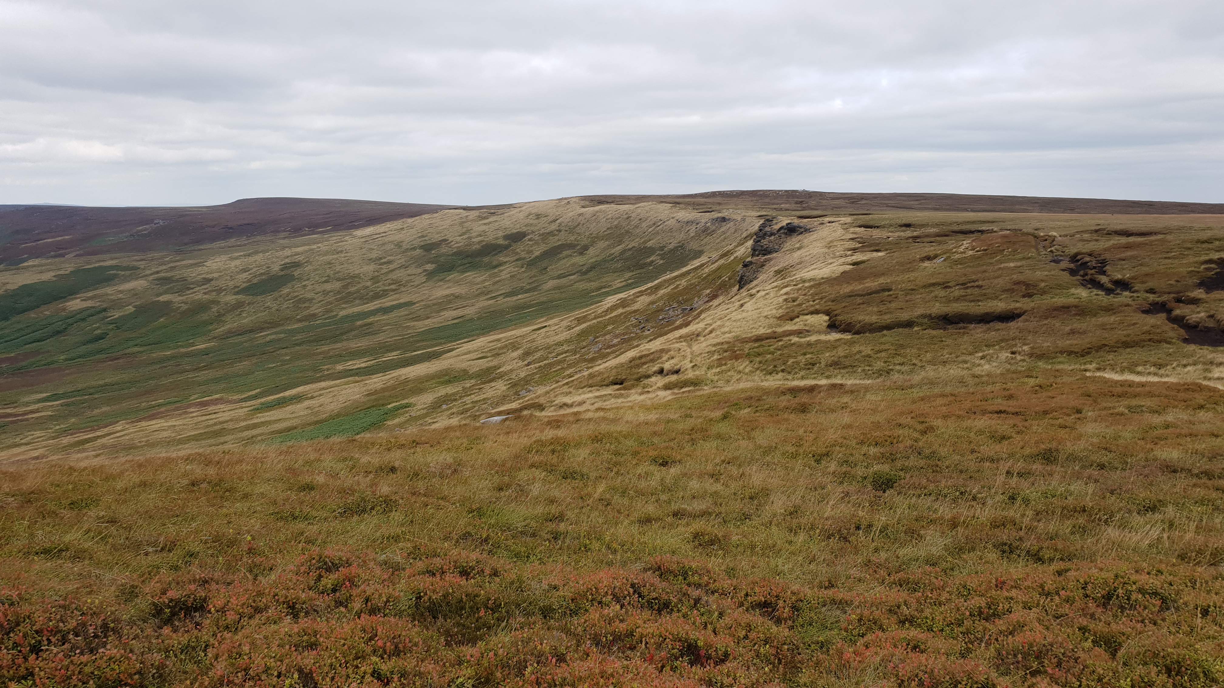
High Stones cairn
©gritstoneedge.co.uk
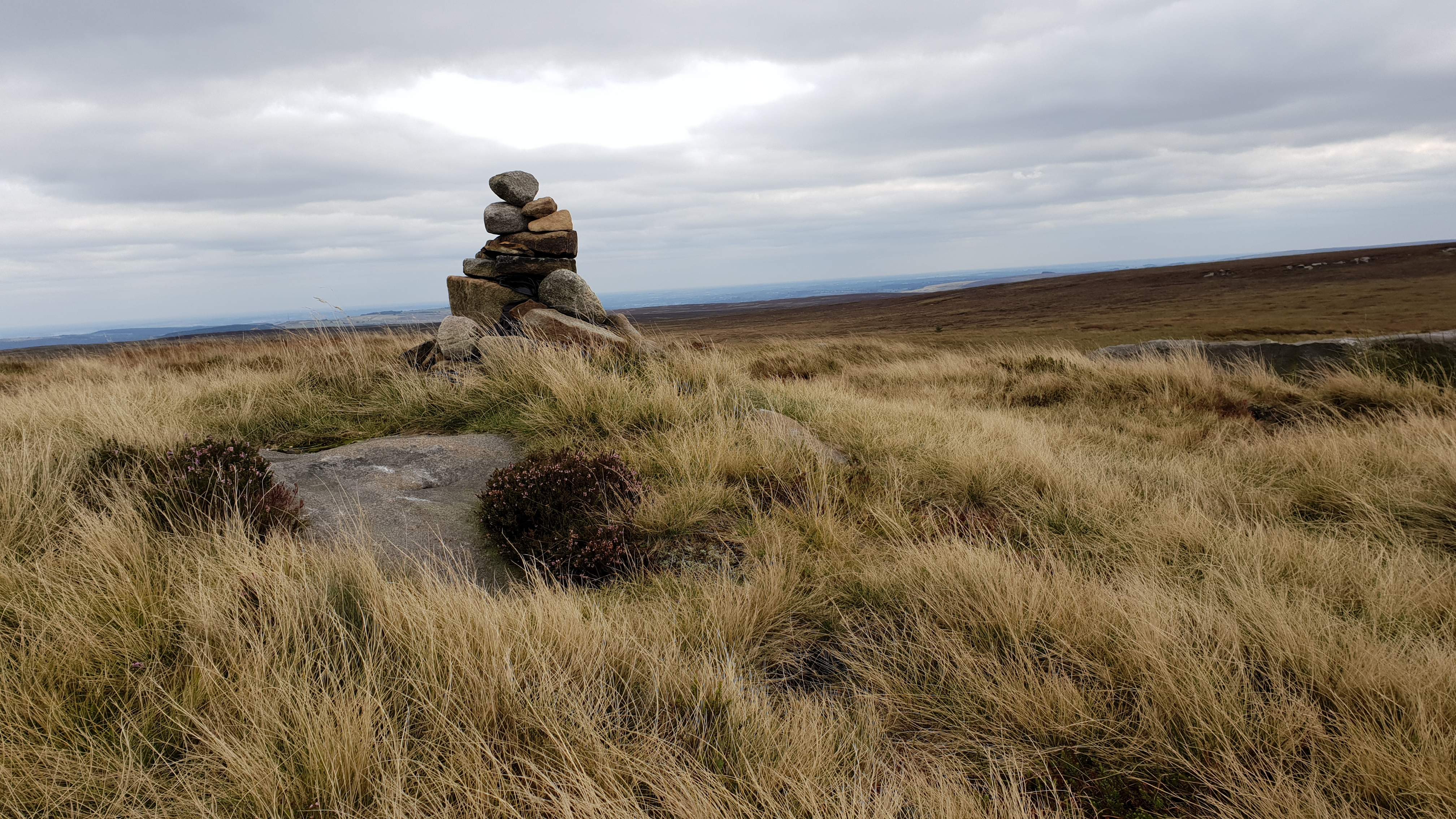
High Stones cairn
©gritstoneedge.co.uk
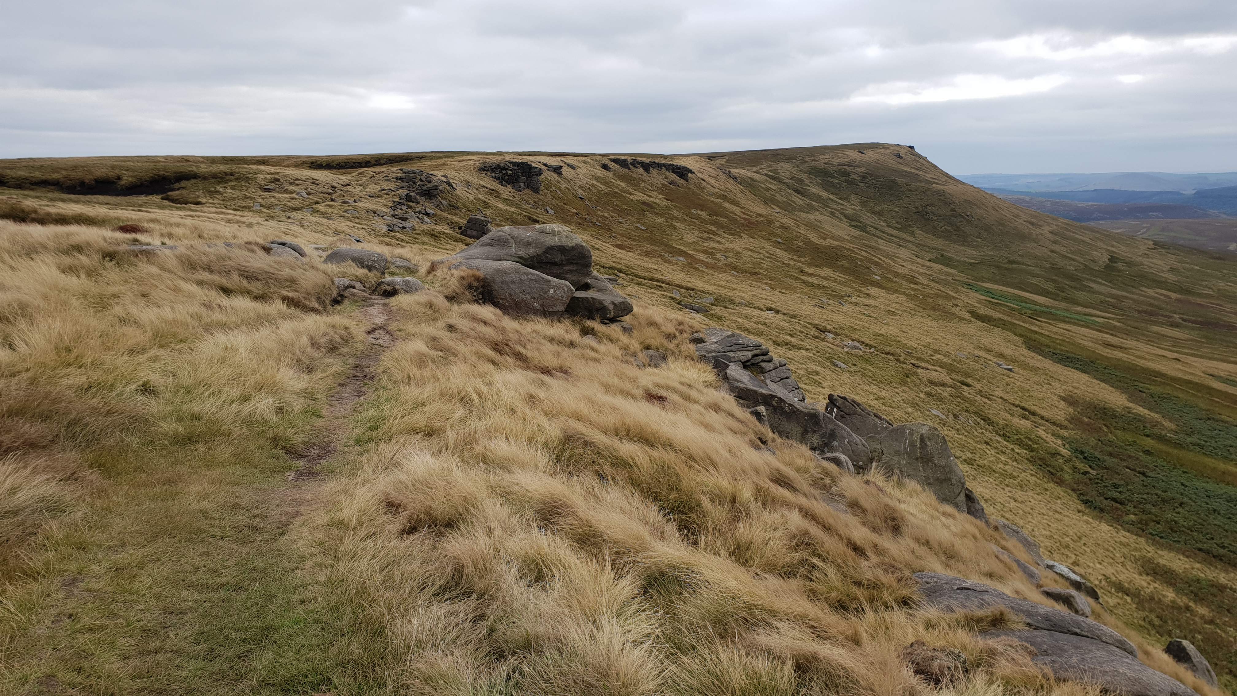
Looking north to Margery Hill
©gritstoneedge.co.uk
Looking back from Margery Hill
©gritstoneedge.co.uk
edale
Current Weather
Last Updated today at : 04:04:12
| Overall : | broken clouds |
| Temperature : | 15degC. |
| Wind Speed : | 10km/hr. |
| Wind Direction : | SSW |
| Clouds : | broken clouds |
| Precipitation : | none |
| Sunrise : | 03:40:52 |
| Sunset : | 20:39:30 |
| : | Times are GMT add 1 hour for BST |
Data from openweathermap.org
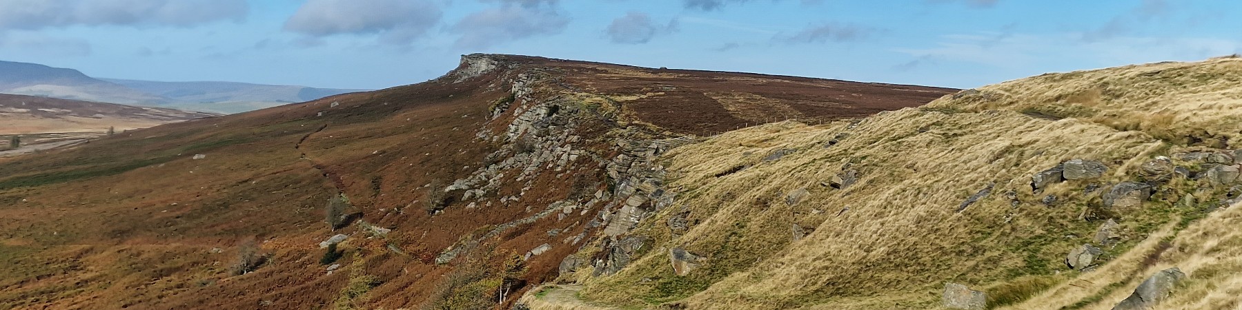
This is the highest point in Sheffield, and indeed South Yorkshire. High Stones is the high point of Howden Edge. This is a remote moor but there are excellent paths to the summit. The high moor between High Stones and Margery Hill to the north and especially to Back Tor to the south can be very wet but the paths chosen for this route avoid he worst of the bogs. The hill gives great views over Bleaklow and Kinder and east over most of South Yorkshire and beyond.