Kinder Circuit
| Hill Summit : | Kinder Low[SK079870, 633m.] |
| Start : | Edale Car Park. The large pay car park near Edale station.[SK125853 235m ] |
| Summary : | Edale Car Park - Grindsbrook - Crowden Tower - Kinder Low - Kinder Downfall - The Edge - Fairbrook Naze - Seal Stones - Crookstone Knoll - Ringing Rodger - Grindsbrook - Edale Car Park |
| distance : | 27.0km. |
| ascent : | 500m. |
| time : | 8hr. 50min. |
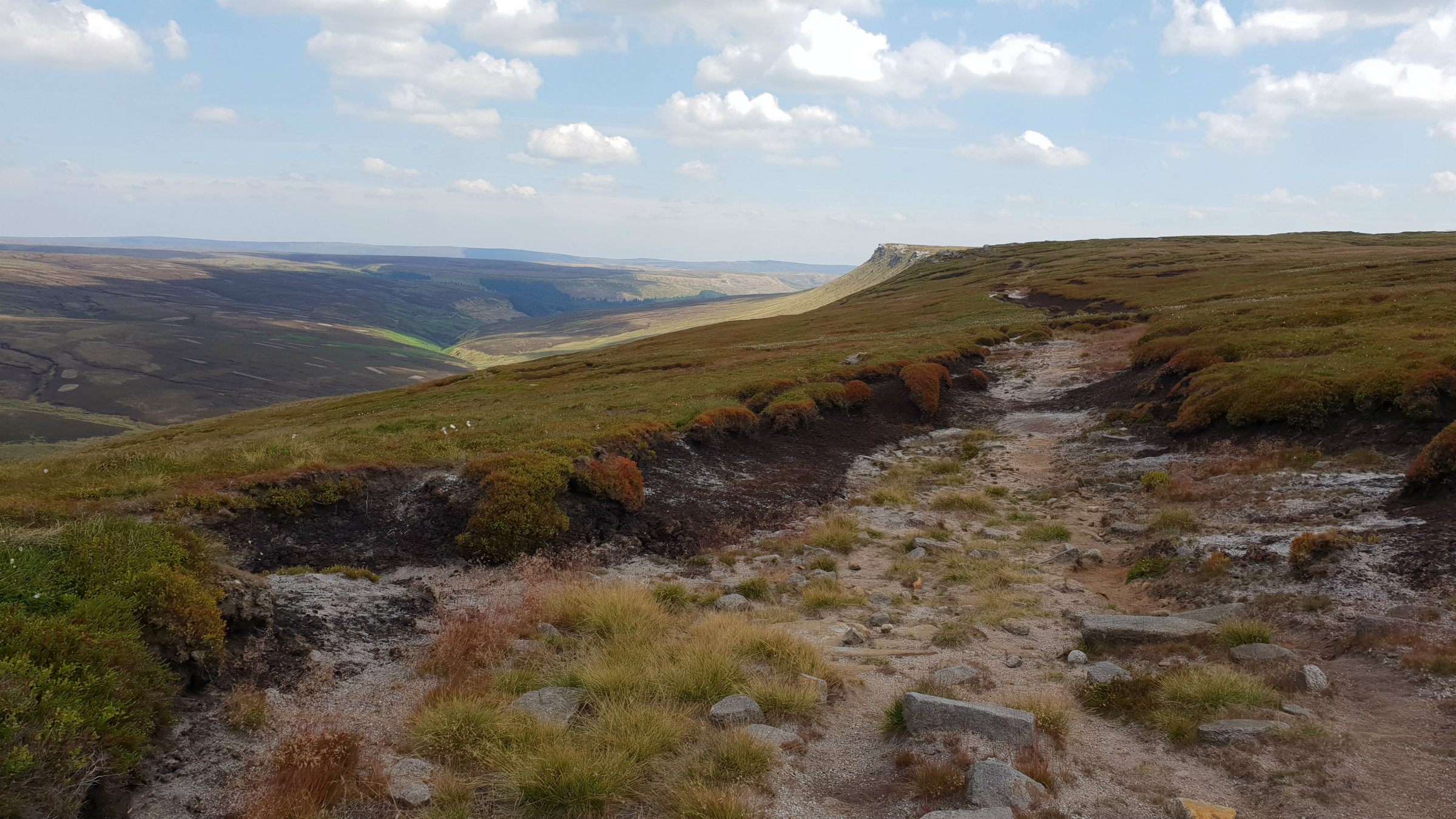
This is a long walk, all around the perimeter of the Kinder Plateau. Look at the 1:50,000 map of Kinder and the central high plateau is "white" indicating a flat moorland area. Surround this are steep slopes, the Kinder Edges. This walk takes you all around the Kinder Plateau keeping to the Kinder Edges. There is a path around the plateau, sometimes well defined and others fainter. A fantastic trip a round the core of the dark peak.
edale
Current Weather
Last Updated today at : 06:24:28
| Overall : | scattered clouds |
| Temperature : | 5degC. |
| Wind Speed : | 4km/hr. |
| Wind Direction : | ENE |
| Clouds : | scattered clouds |
| Precipitation : | none |
| Sunrise : | 04:17:29 |
| Sunset : | 19:49:57 |
| : | Times are GMT add 1 hour for BST |
Data from openweathermap.org
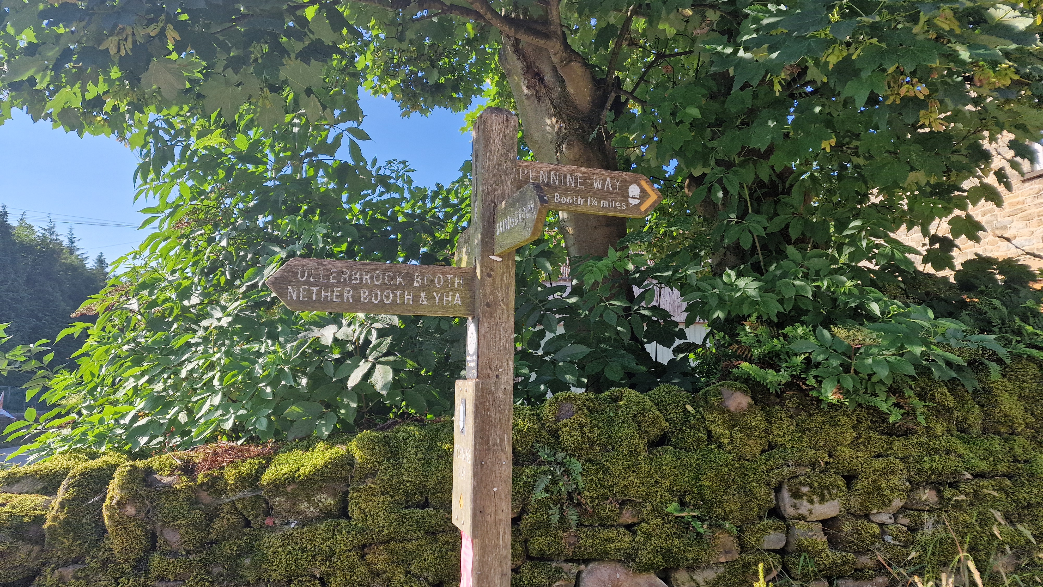
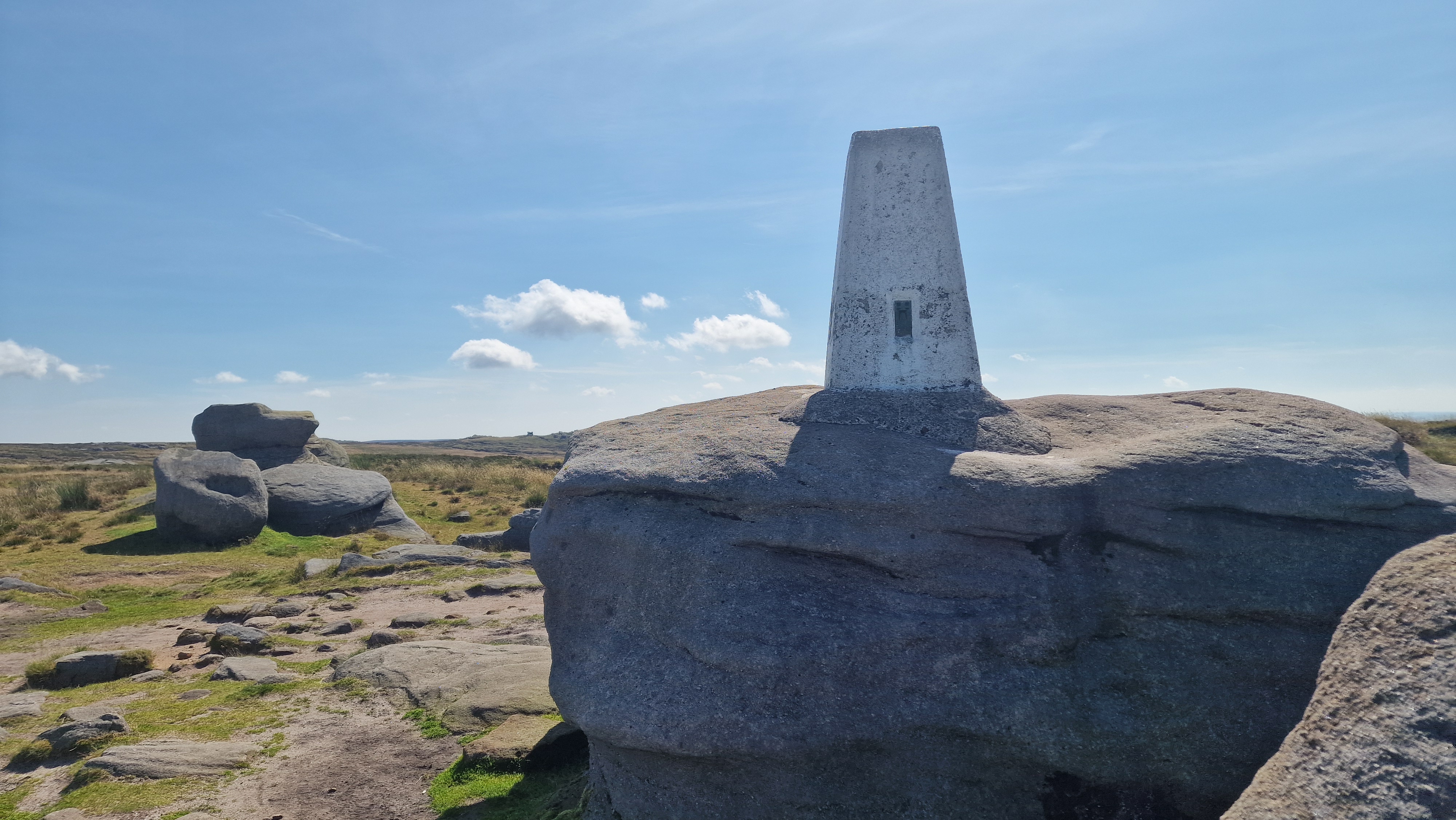
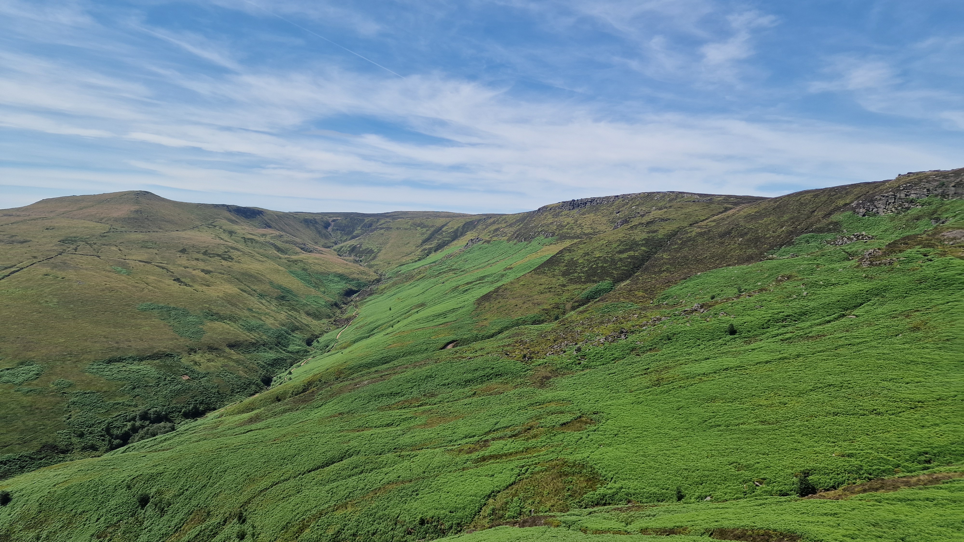
Leave the car park and walk up the road to the village. Once through the village follow Grindsbrook Clough, first through some trees, and then along the flat valley bottom. Just at the end there is a steep and rocky exit from the valley. Climb through here taking the best route to brake out on the Kinder plateau. You have now done most of the climbing for the day. Continue along the south edge, west, past Crowden Tower, Pym Chair, and onto the trig point at Kinder Low. (5.5kms. 400m. 2hrs. 30min.)
The route continues around Kinder clockwise. From Kinder Low follow the Pennine Way to the impressive Kinder Downfall. This is the most amazing of waterfalls from it's frozen state in winter to water falling upwards in strong winds. From here continue along the Pennine Way until you get to the northern edge of Kinder - The Edge. Now leave the Pennine way and walk east along The Edge. This area is less busy than the Pennine Way and the path is thinner. Continue onto Fairbrook Naze following the path. At Fairbrook Naze turn first south to cross Fair Brook itself, and then east along Seal Edge. Follow this edge to Seal Stones. (9.5kms. 50m. 2hrs. 50min.)
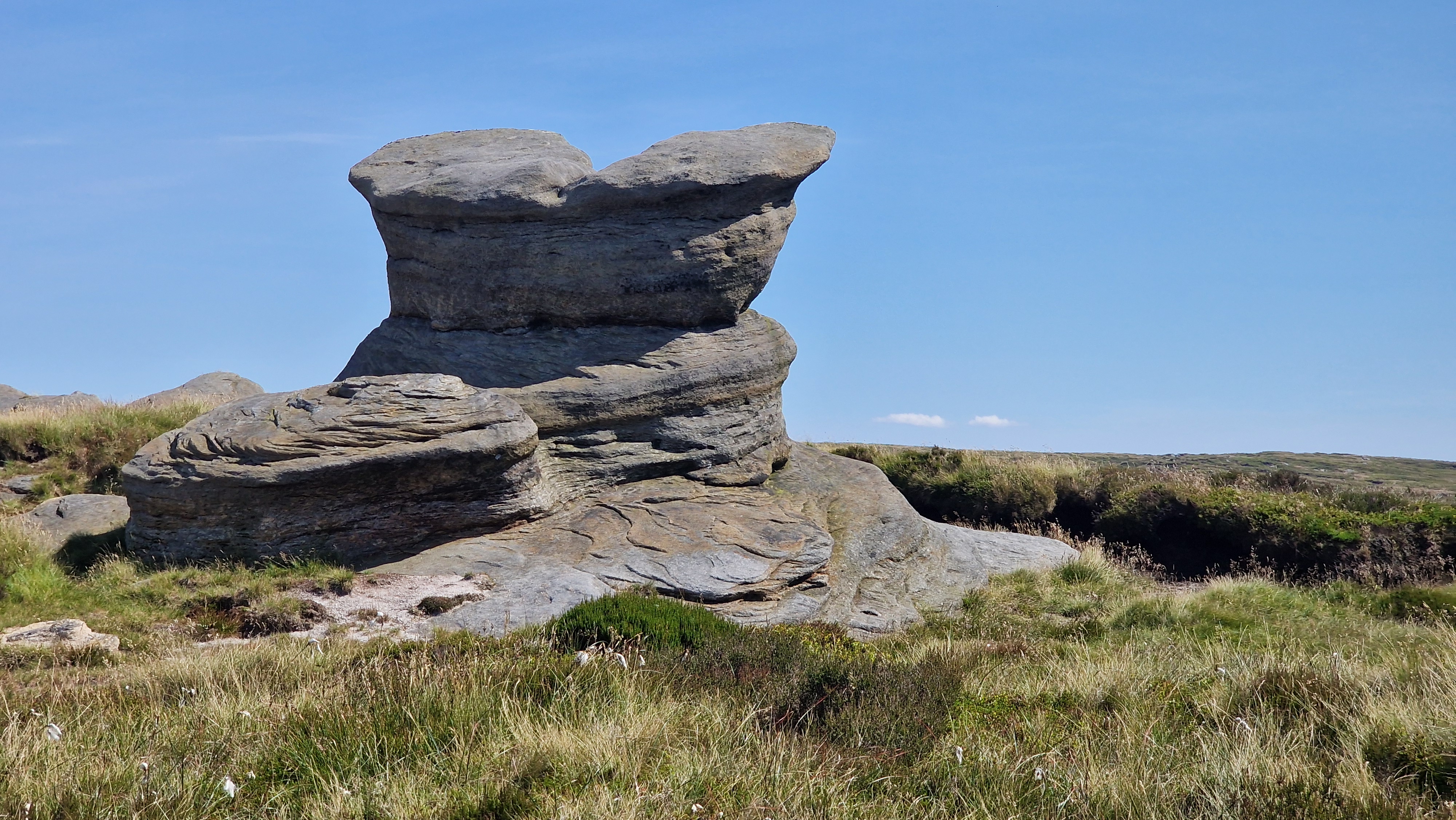
From Seal Stones the path is followed in the same clockwise manner past Blackden Brook to Blackden Edge. At the end of Blackden Edge is Crookstone Knoll, the extreme eastern end of Kinder plateau. Here the route continues south west and then west around the southern edge of Kinder. The next feature is Ringing Rodger. From here the route can be cut short by descending to Edale. But to complete the circuit, the path continues onto Nether Tor around Upper Tor and back to the top of Grindsbrook Brook. Care is needed to descend the initial rocks of the descent down Grindsbrook, but once at the valley floor there is a pleasant walk along the valley bottom and back to Edale. The walk finished with a walk down the road to the car park; perhaps, partaking of refreshement on the way to the car. (12kms. 50m. 3hrs. 40min.)
© gritstoneedge.co.uk all rights reserved 2015-2025
