Around Hallam and Burbage Moor.
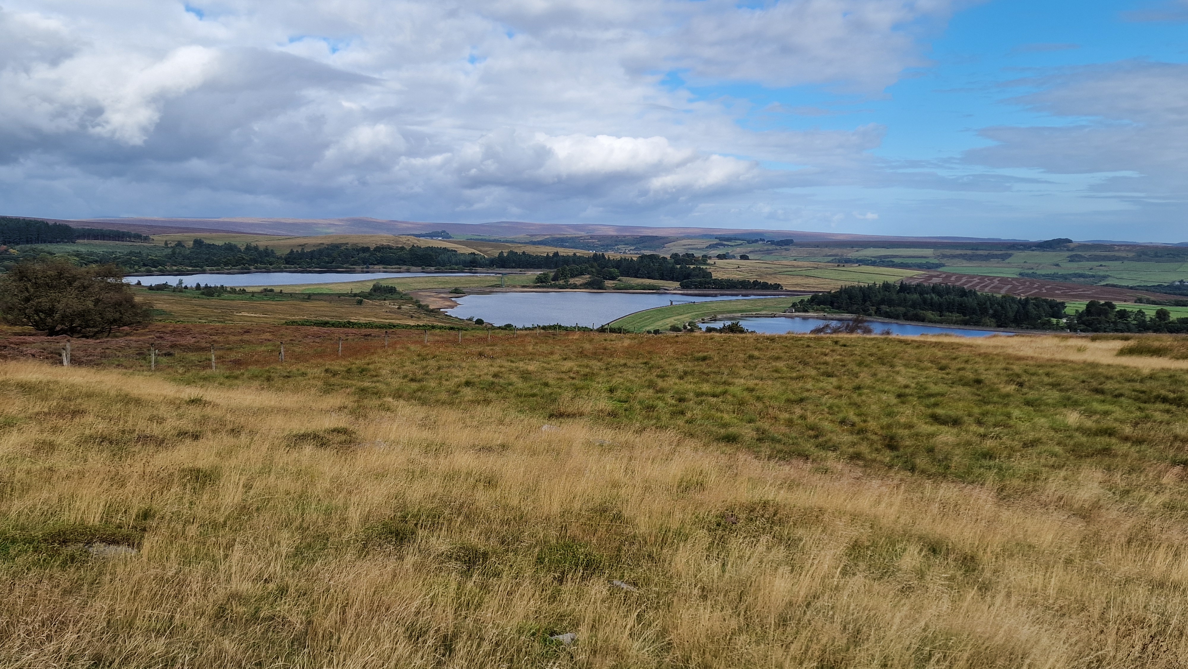
Redmires Reservoirs from the moors.
©gritstoneedge.co.uk
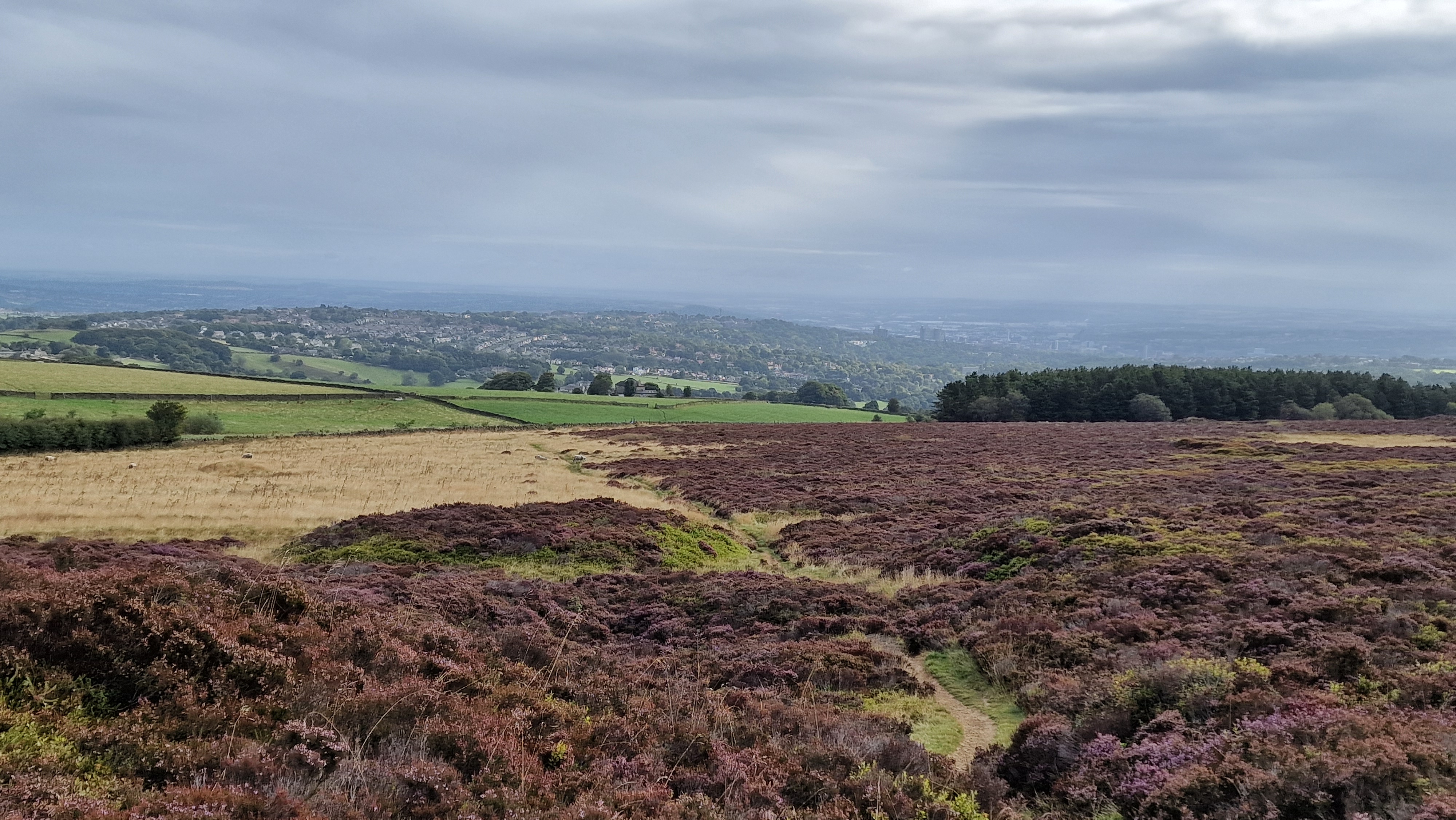
Over the moors to Sheffield
©gritstoneedge.co.uk
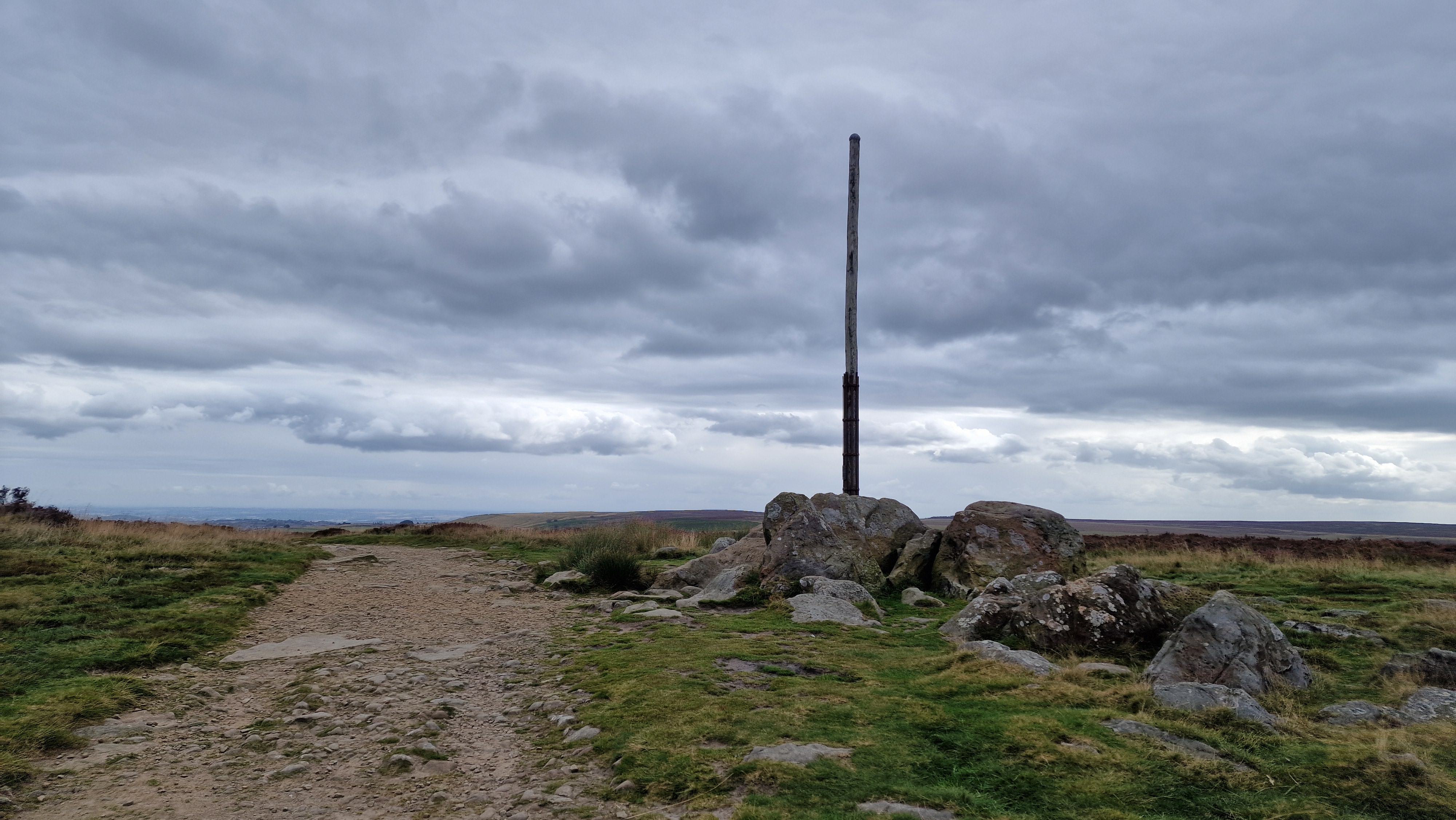
Stanage Pole.
©gritstoneedge.co.uk
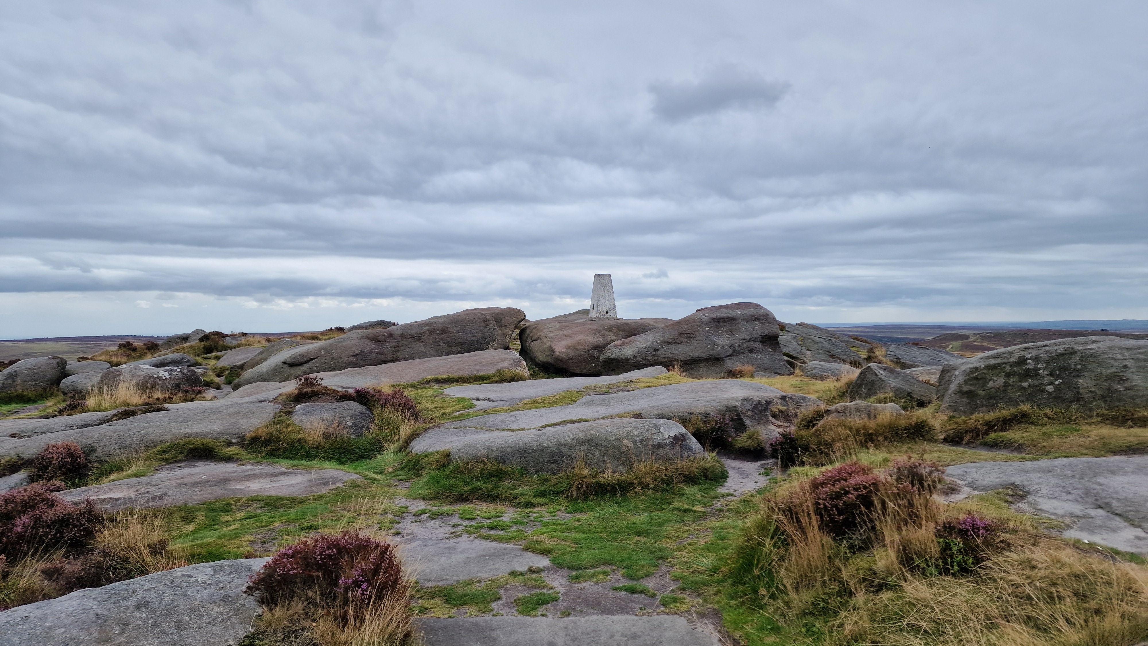
Stanage White Path Moss Trig Point
©gritstoneedge.co.uk
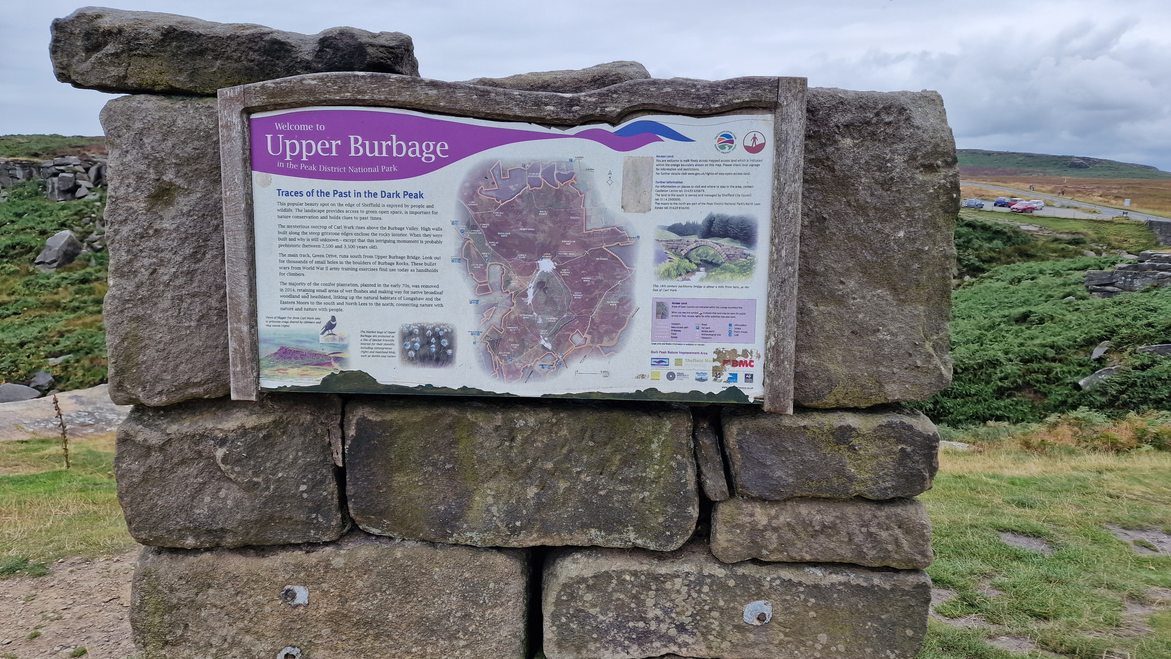
Sign at Burbage Bridge.
©gritstoneedge.co.uk
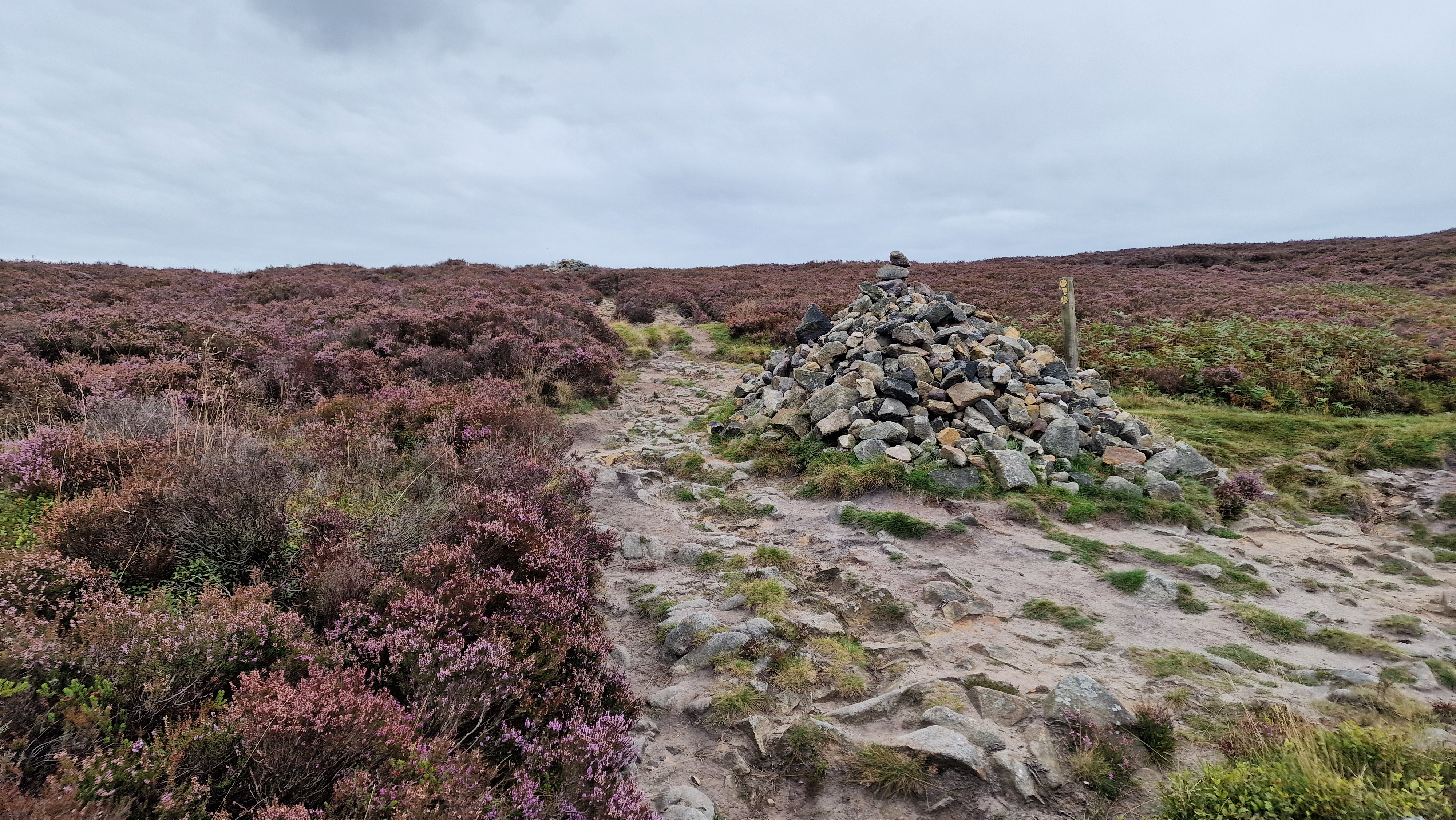
Path junction along Burbage.
©gritstoneedge.co.uk
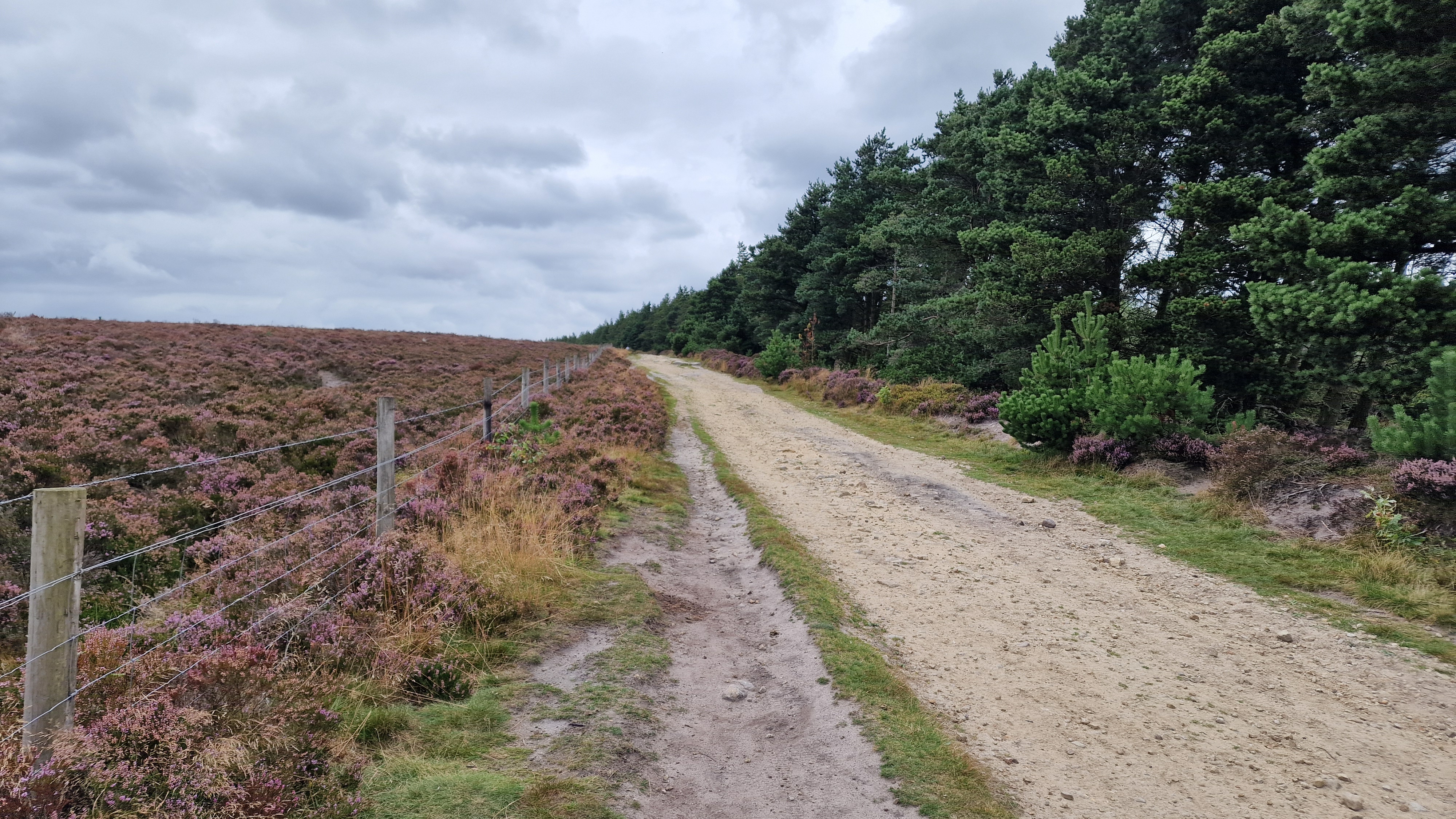
By Lady Canning Plantation.
©gritstoneedge.co.uk
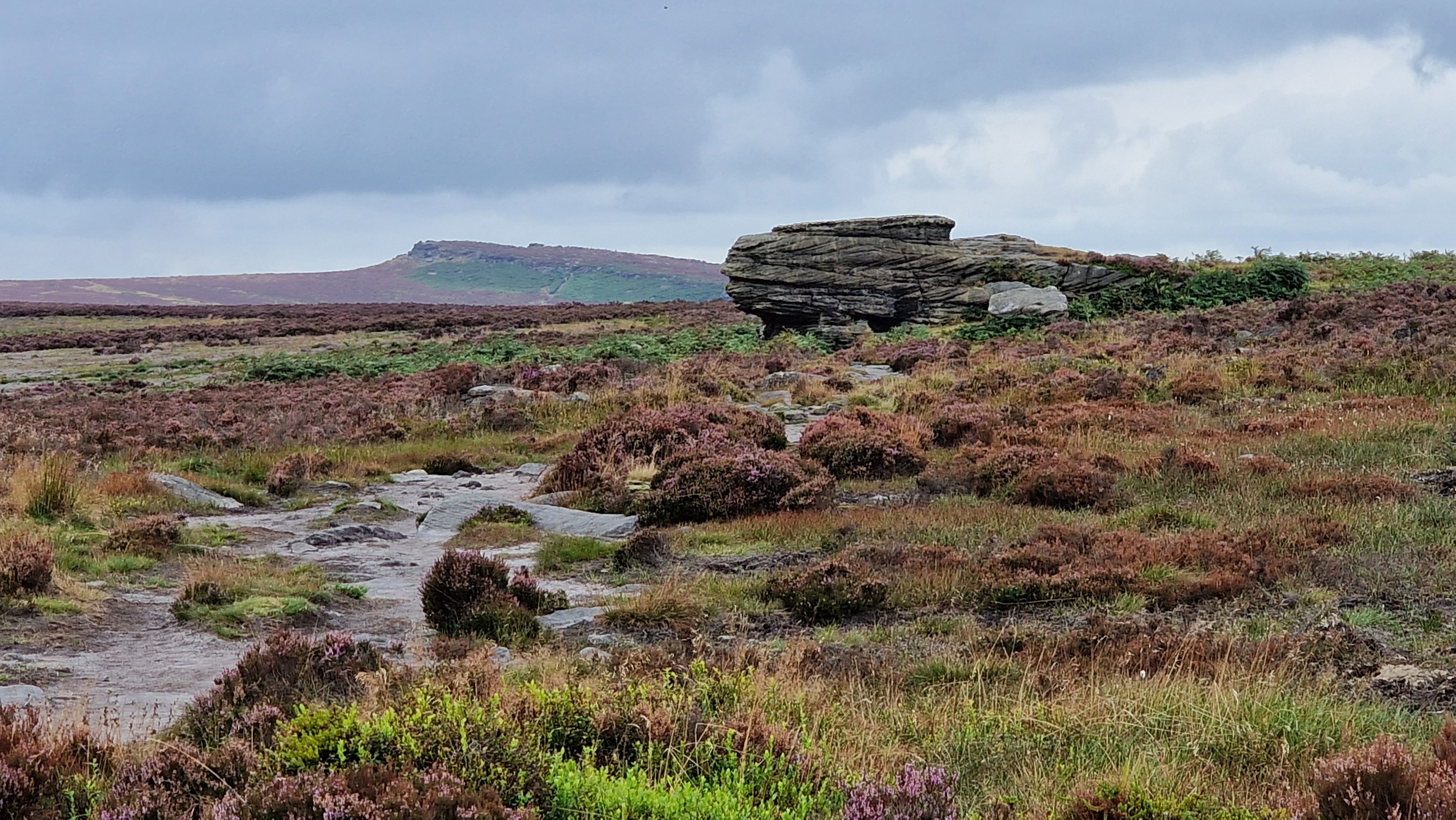
Ox Stones.
©gritstoneedge.co.uk
| Start : | Lady Canning Plantation Layby Layby by Lady Canning's plantation.[SK278835 400m ] |
| Summary : | Lady Canning Plantation - White Stones - Redmires Reservoir - Stanage Pole - Stanage Edge - Burbage Bridge - Houndkirk Road - Ox Stones - Lady Canning Plantation. |
| distance : | 12.0km. |
| ascent : | 150m. |
| time : | 3hr. 50min. |
Hallam and Burbage Moors are large tracts of typical Peak District moorland. The edges of the moor make for a good walk including, as it does, Stanage and Burbage edges. The views on the east of this walk are predominantly over to Sheffield; indicating the nearness of this city to open hillside. In fact ost of this work is within the coundary of Sheffield City. There are many starting points to this walk including Burbage Bridge, Redmires Reservoir or Lady Canning plantation, which is described here.
Sheffield
Current Weather
Last Updated today at : 05:58:42
| Overall : | scattered clouds |
| Temperature : | 5degC. |
| Wind Speed : | 4km/hr. |
| Wind Direction : | N |
| Clouds : | scattered clouds |
| Precipitation : | none |
| Sunrise : | 04:16:01 |
| Sunset : | 19:48:37 |
| : | Times are GMT add 1 hour for BST |
Data from openweathermap.org
From Lady Canning's Plantation, take the signposted path and footpath north that climbs the ridge towards Brown Edge Farm. Just past the ridge top, at the apth junction, continue north to rech a gate. Through the gate and follow the track to the farm, through the farm and onto Fullwood Land. There are many signposts in this area. Turn left at the road following it for 100m and then take the footpath that climbs past the Yorkshire Water Service Reservoir. Go through the gate and follow the well marked path around the slopes of Rud Hill, onto White Stones. Finally there is a descent and to Redmires Reservoir. This path can be very wet in wet conditions. (2.0kms. 20m. 0hrs. 40min.)
From the west end of Redmires reservoir at the end of the road, follow the Long Causeway west towards Stanage. Once on the high ground Stanage Pole is visible. Follow the track to rech Stanage Pole and onto Stanage Edge itself. The Roman road from Redmires to Stanage Edge bisects Hallam Moor. This vast tract of land at either side of the Roman Road is Hallam Moor. A pleasant place on a clear day but in the wind and rain a place to avoid. Once at Stanage Edge turn left, south, and walk along the top of the edge. The high pont, Stanage White Path Moss summit is marked with a trig point, is clearly visible and worth climbing to the top for the view over the Hope Valley. Continue along the path as it turns east, over to Cowper Stone which marks the southern end of Stanage Edge. Now follow the small path that links into the main path to Stanage, and this is followed downhill leading the minor road at Burbage Bridge. (5.0kms. 100m. 1hrs. 40min.)
Cross the minor road at Burbage Bridge and through the gate to find the narrow path along the top of Burbage Rocks. Follow the path along the top of the rocks. This can be quite muddy and ill defined in places. A downhill section at the end of Burbage North, crosses a stream and then slightly uphill to reach a path, clearly marked with a pile of stones. Turn left here, east and follow this good path over Burbage moor to meet Houndkirk Road. Once at the road turn left, north and follow this to the edge of Lady Canning Plantation. There is good view over Sheffield along this stretch of the walk. Take the left branch around Lady Canning Plantation. Soon there is a gate across the track. Once through the gate there is a smaller gate on the left of the track. Go through this gate and climb the path to the trig point of Ox Stones. Continue along to the Ox Stones themselves. Now take the path back to the edge of the plantation at the roadside and back to the parking. (5.0kms. 30m. 1hrs. 30min.)
4th September 2024 Early September and autumn is showing signs. The route was very dry, drier than I had seen it in the past. This makes it all the more enjoyable.The moors are clothed in heather at present and even on the dullish day looked great. A great walk around these moors with good views east to the city of Sheffield and west to the Hope Valley.
Use this link to view all the external gritstoneedge.co.uk resources.
 gritstoneedge linktr.ee
w : https://www.gritstoneedge.co.uk
e :
 gritstoneedge Blog
 gritstoneedge instagram
 gritstoneedge YouTube channel
 gritstoneedge Podcast
Disclaimer :This site has links to many adventures in the outdoors, walking or cycling in hills and moors, within the UK. These can be dangerous activities. Conditions can change rapidly in the outdoors. The information and links provided on this site is given in good faith. gritstoneedge.co.uk cannot be held responsible for any loss or injury caused by encouraging you into the outdoors of by the accuracy of the information provided on this site.
© gritstoneedge.co.uk all rights reserved 2015-2025